Hysbackie
Settlement in Sutherland
Scotland
Hysbackie

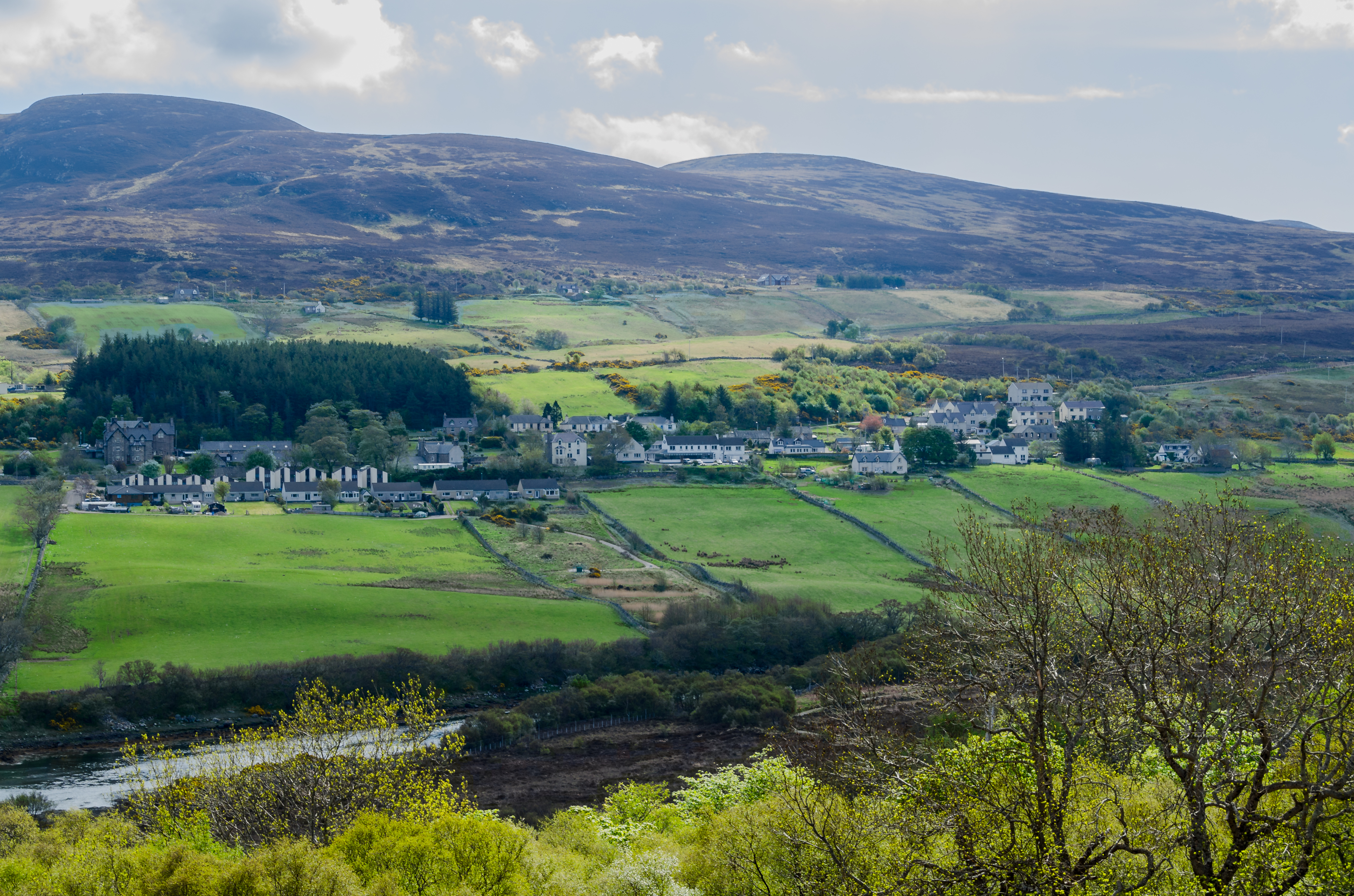
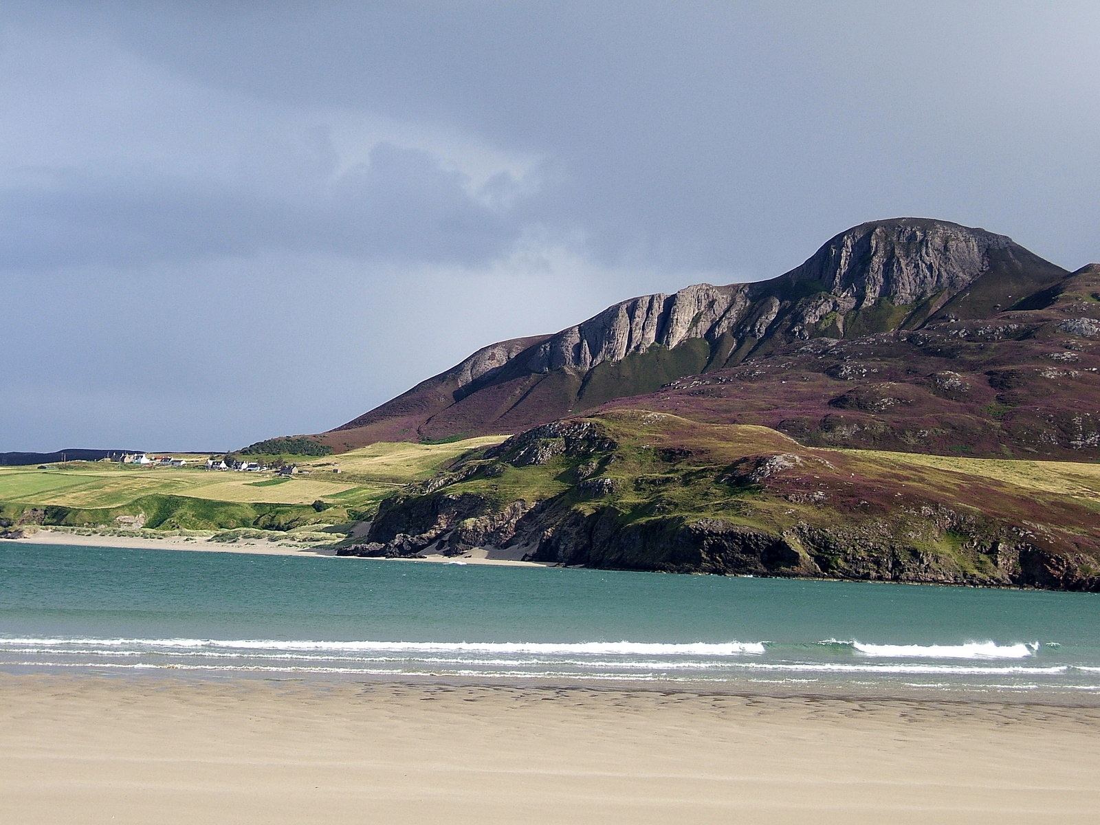
Hysbackie is a small village located in the county of Sutherland, in the Highlands of Scotland. Situated on the northern coast of the country, Hysbackie is nestled between the towns of Golspie and Brora. The village is known for its picturesque surroundings, with stunning views of the North Sea and the rugged Sutherland landscape.
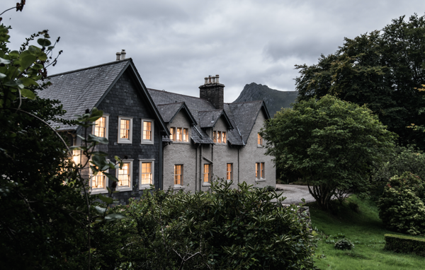
Hysbackie is a close-knit community, with a population of around 200 residents. The village is predominantly residential, with traditional stone houses and cottages dotting the landscape. The local economy is largely dependent on agriculture, fishing, and tourism. Many visitors are drawn to Hysbackie for its tranquil atmosphere and natural beauty.
The village offers several amenities to residents and visitors alike. There is a primary school, a community center, and a small convenience store that caters to everyday needs. For recreational activities, Hysbackie boasts a well-maintained public park, perfect for picnics and leisurely walks. The surrounding area provides ample opportunities for outdoor pursuits such as hiking, birdwatching, and fishing.
While Hysbackie may be small, it is rich in history. The village is home to several ancient archaeological sites, including standing stones and burial cairns, which reflect its long-standing human habitation. Hysbackie also has strong connections to the local clan history, with various clan gatherings and events held in the area throughout the year.
In summary, Hysbackie is a charming and picturesque village in Sutherland, Scotland. With its stunning natural surroundings, close-knit community, and rich history, Hysbackie offers a peaceful retreat for residents and visitors seeking a tranquil Highland experience.
If you have any feedback on the listing, please let us know in the comments section below.
Hysbackie Images
Images are sourced within 2km of 58.460413/-4.4184701 or Grid Reference NC5955. Thanks to Geograph Open Source API. All images are credited.


Hysbackie is located at Grid Ref: NC5955 (Lat: 58.460413, Lng: -4.4184701)
Unitary Authority: Highland
Police Authority: Highlands and Islands
What 3 Words
///torso.modules.universally. Near Altnaharra, Highland
Nearby Locations
Related Wikis
Tongue, Highland
Tongue (Scottish Gaelic: Tunga from Old Norse: Tunga) is a coastal village in northwest Highland, Scotland, in the western part of the former county of...
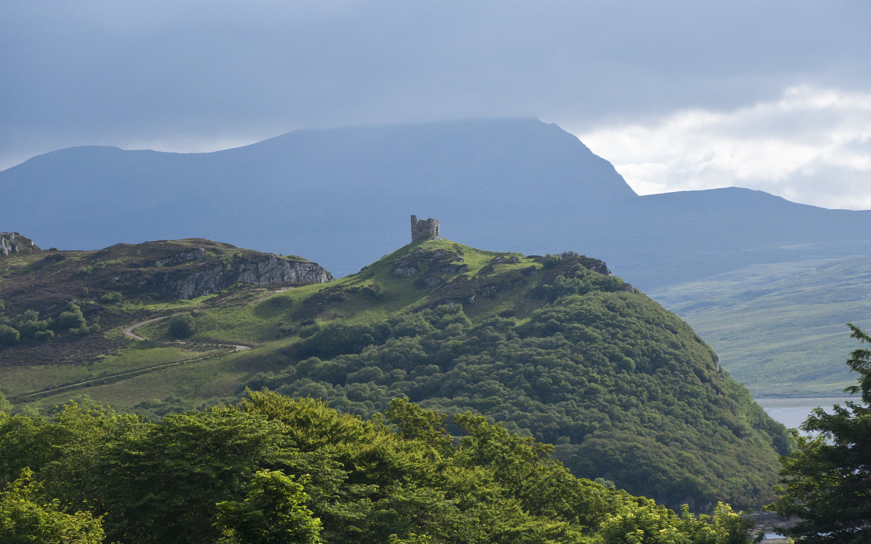
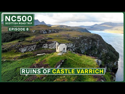
Castle Varrich
Castle Varrich (Scottish Gaelic: Caisteal Bharraich) is a castle in the far north of the Scottish Highlands, near the village of Tongue. The castle is...

Braetongue
Braetongue (Scottish Gaelic: Bràigh Thunga) is an area in northern Sutherland just north of the town of Tongue (grid ref. NC595572). Runrig mentions the...
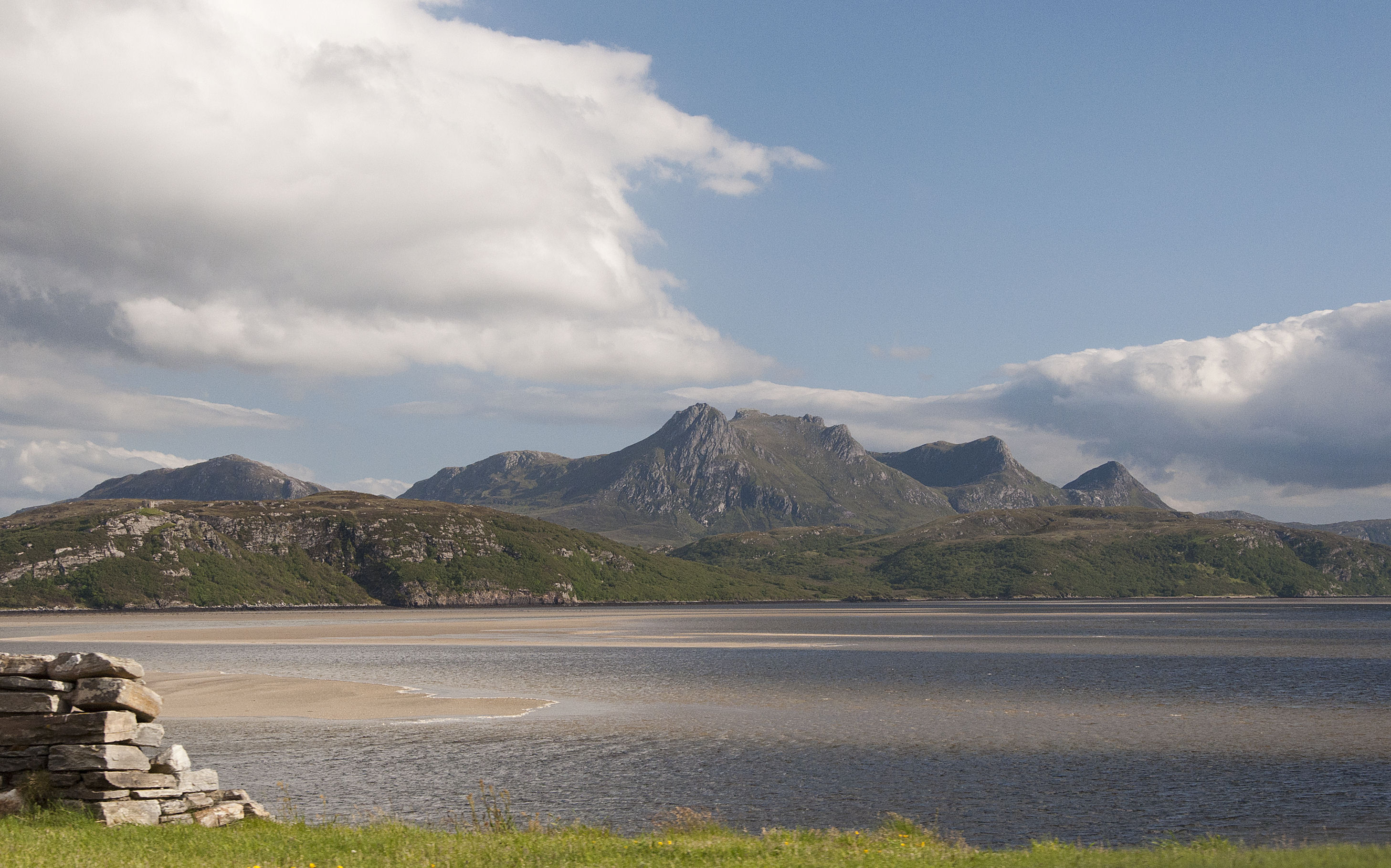
Kyle of Tongue
The Kyle of Tongue (Scottish Gaelic: Caol Thunga) is a shallow sea loch in northwest Highland, Scotland, in the western part of Sutherland. Featuring a...
Battle of Drumnacoub
The Battle of Drumnacoub (Battle of Druim na coub, Drum-ne-coub) was a Scottish clan battle involving factions of the Clan Mackay fought in the far northwest...

Achuvoldrach
Achuvoldrach (Scottish Gaelic: Achadh a’ Mholltairich) is a small remote village on the west shore of the Kyle of Tongue in Sutherland, in the Highland...
Kinloch Lodge
Kinloch Lodge, first opened in 1897, was once the private lodge of the Duke of Sutherland, and is situated near the village of Tongue in Sutherland, Scotland...
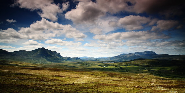
Cnoc an Fhreiceadain
Cnoc an Fhreiceadain (Hill of Watching or Watch Hill) is a coastal mountain peak in northern Scotland. It is 307 metres (1,007 ft) high with commanding...
Related Videos
HILL WALKING near Tongue | Exploring the Ruins of CASTLE VARRICH | NC500 E8
NC500 E8: A spot of early morning hill walking near Tongue in the Scottish Highlands from the village of Tongue to the ruins of ...

SCOTLAND NC500 2/6 - Is AUTUMN the BEST time to visit? How to see the best Colours
Hi, we're Sharon and Phil, welcome back to our North Coast 500 road trip. We did this trip in November, which meant the roads ...

Castle Varich
on NC500 route near Tongue village there is Castle Varich, it was built in 14th century, and it is around 1 hour walk to get there ...
Nearby Amenities
Located within 500m of 58.460413,-4.4184701Have you been to Hysbackie?
Leave your review of Hysbackie below (or comments, questions and feedback).