Capple Howe
Hill, Mountain in Westmorland South Lakeland
England
Capple Howe
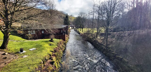
Capple Howe, located in Westmorland, is a prominent hill/mountain that offers breathtaking views and a serene natural environment. Situated in the stunning Lake District National Park in Northwest England, Capple Howe is a popular destination for hikers, nature enthusiasts, and photographers.
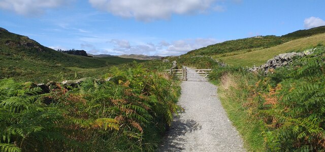
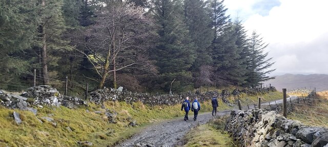
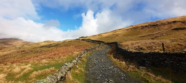
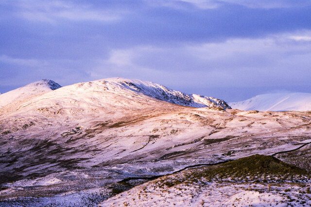
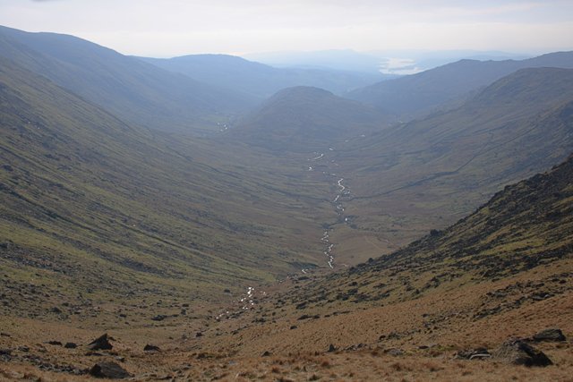
Standing at an elevation of approximately 550 meters (1804 feet), Capple Howe boasts a distinctive peak with a rocky terrain and heather-covered slopes. The hill/mountain is known for its challenging but rewarding hiking trails that cater to all levels of fitness and expertise. The ascent to the summit is often characterized by steep and rugged paths, providing an exhilarating experience for adventurers.
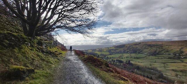
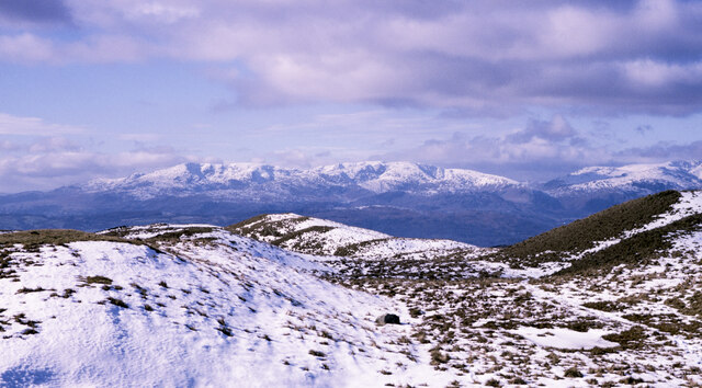
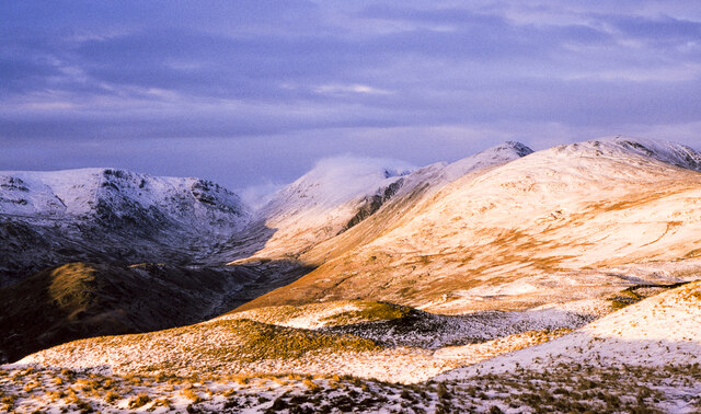
From the top of Capple Howe, visitors are rewarded with panoramic vistas that encompass the surrounding Lake District landscape. On clear days, it is possible to see the expansive valleys, shimmering lakes, and other notable peaks like Helvellyn and Skiddaw. The breathtaking beauty of this natural setting has made it a favorite spot for landscape photographers, who capture the changing colors and moods of the hill/mountain throughout the seasons.
Capple Howe is also home to a diverse range of flora and fauna. The hill/mountain is blanketed with a variety of wildflowers, including heather, bluebells, and primroses, creating a vibrant and picturesque scene. Visitors may also spot several species of birds, such as buzzards, peregrine falcons, and ravens, as well as occasional glimpses of deer and other wildlife.
Overall, Capple Howe provides a unique opportunity to experience the beauty of the Lake District with its challenging yet rewarding hikes, stunning views, and abundant natural wonders. Whether seeking an adrenaline-fueled adventure or a peaceful escape into nature, Capple Howe is a must-visit destination for all outdoor enthusiasts.
If you have any feedback on the listing, please let us know in the comments section below.
Capple Howe Images
Images are sourced within 2km of 54.418194/-2.8765317 or Grid Reference NY4302. Thanks to Geograph Open Source API. All images are credited.


Capple Howe is located at Grid Ref: NY4302 (Lat: 54.418194, Lng: -2.8765317)
Administrative County: Cumbria
District: South Lakeland
Police Authority: Cumbria
What 3 Words
///zebra.increment.swing. Near Windermere, Cumbria
Nearby Locations
Related Wikis

Sour Howes
Sour Howes is a small fell in the English Lake District. It is situated five kilometres east of Ambleside, between the Troutbeck and Kentmere valleys and...

Sallows
Sallows is a fell in the English Lake District, rising between the valleys of Kentmere and Troutbeck. It is the highest point in the upland area to the...

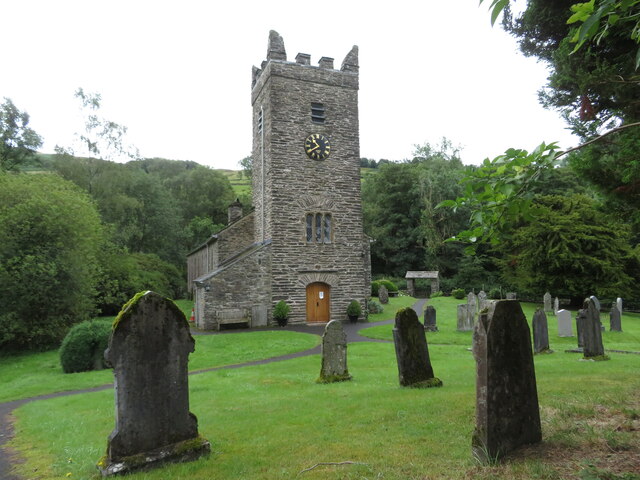
Jesus Church, Troutbeck
Jesus Church is in the village of Troutbeck in the Lake District, Cumbria, England. It is an active Anglican parish church in the deanery of Windermere...
Trout Beck
The Trout Beck is a fast flowing stream of the Lake District in North West England. It is one of the main sources of replenishment for Windermere, and...
Troutbeck, Lakes
Troutbeck is a village and former civil parish, now in the parish of Lakes, in Westmorland and Furness unitary authority in the ceremonial county of...
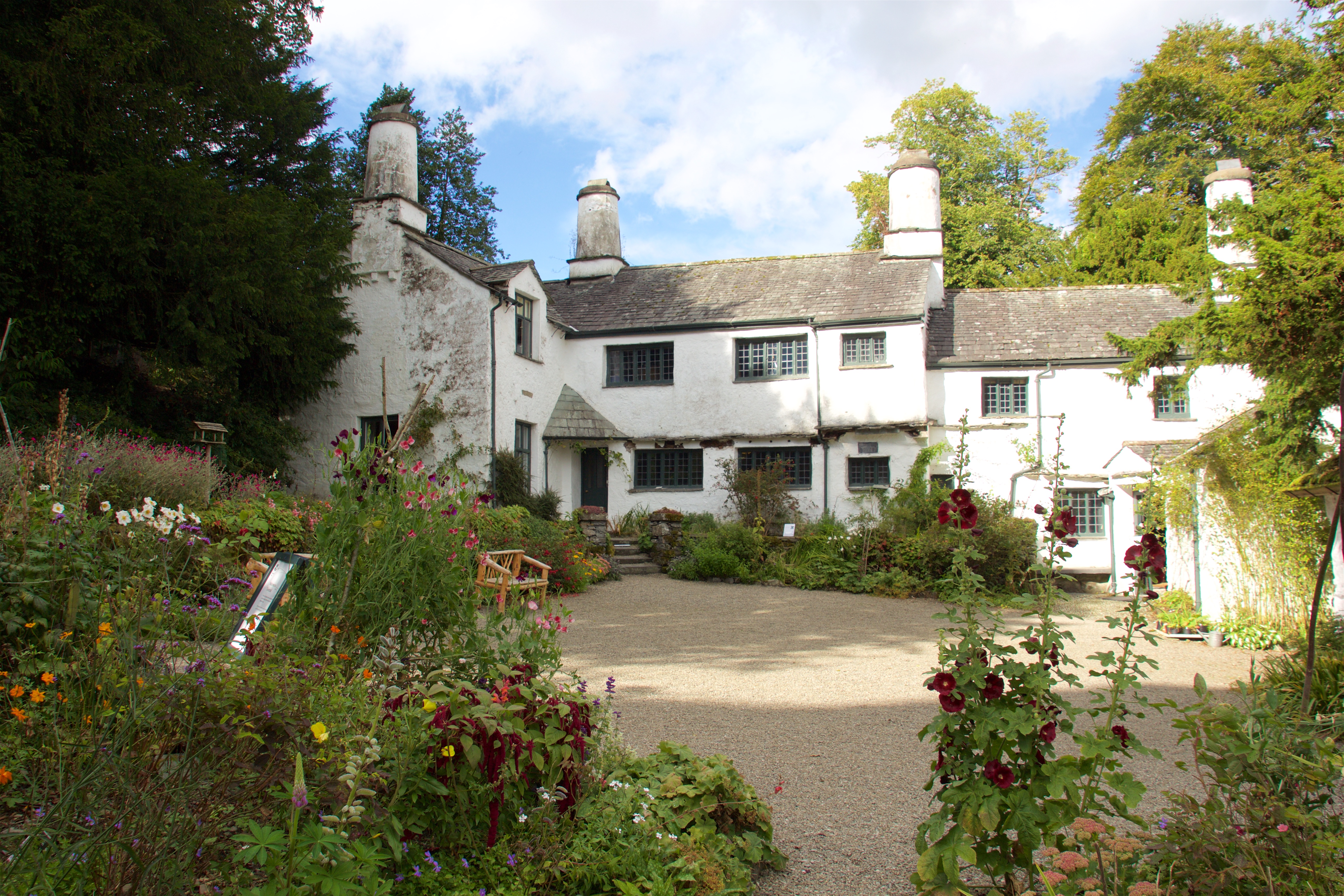
Townend
Townend is a 17th-century house located in Troutbeck, in the civil parish of Lakes, near Windermere, Cumbria, England, and in the ownership of the National...

Kentmere
Kentmere is a valley, village and civil parish in the Lake District National Park, a few miles from Kendal in the Westmorland and Furness district of Cumbria...
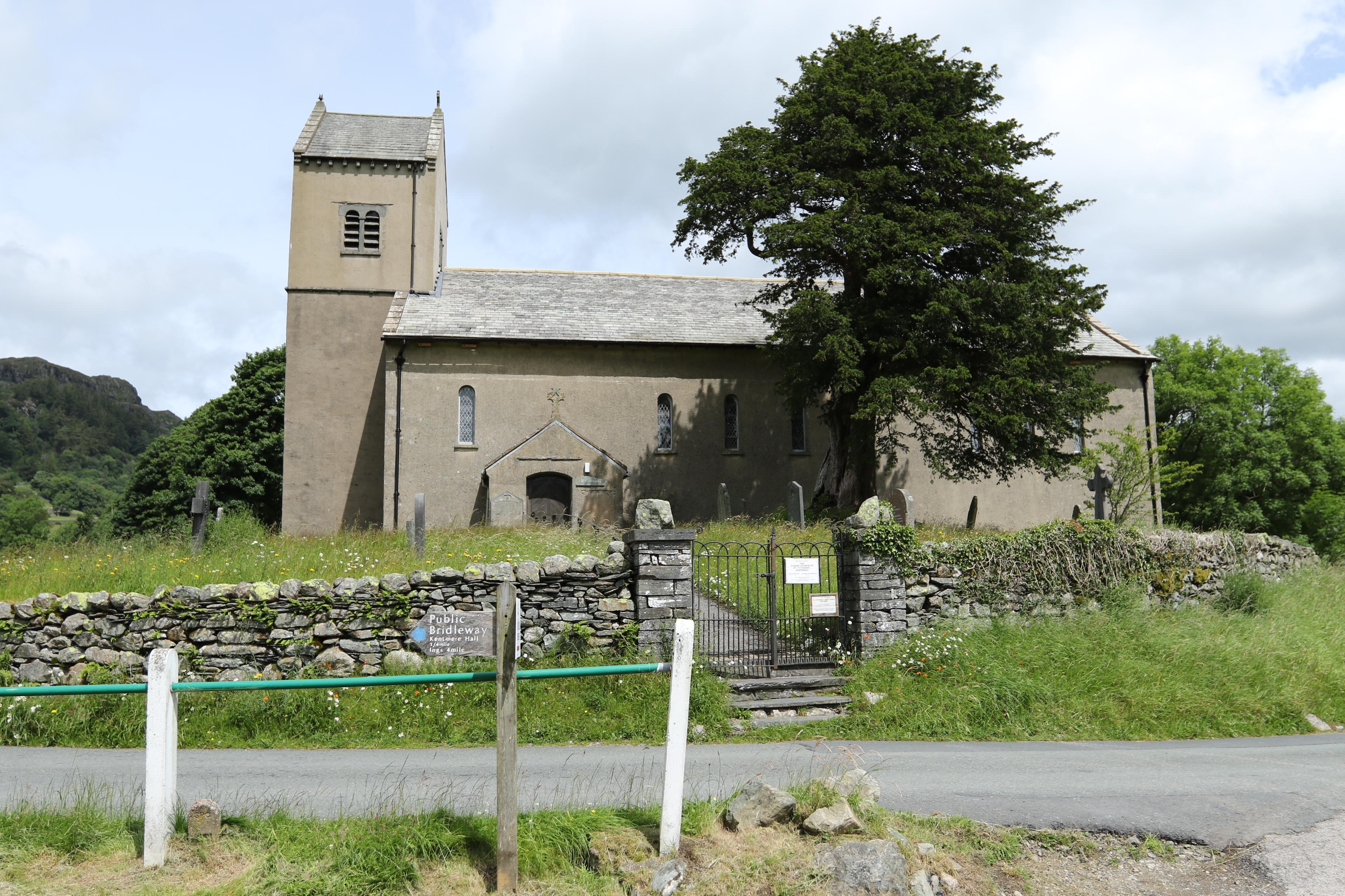
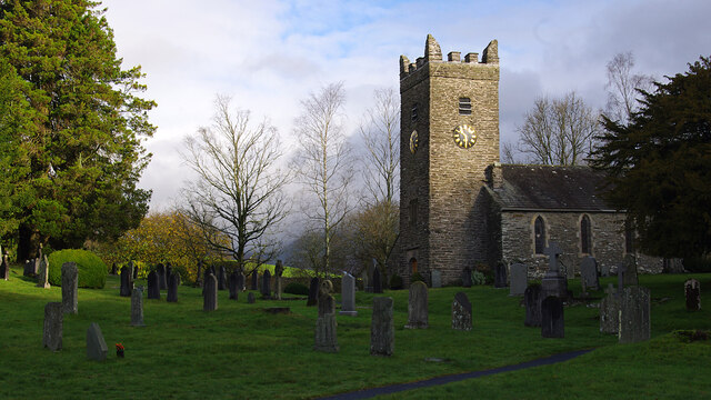
St Cuthbert's Church, Kentmere
St Cuthbert's Church, Kentmere is a Grade II listed parish church in the Church of England in Kentmere, Cumbria. Its benefice is united with that of St...
Nearby Amenities
Located within 500m of 54.418194,-2.8765317Have you been to Capple Howe?
Leave your review of Capple Howe below (or comments, questions and feedback).