Craig Hill
Hill, Mountain in Angus
Scotland
Craig Hill
The requested URL returned error: 429 Too Many Requests
If you have any feedback on the listing, please let us know in the comments section below.
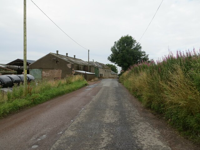
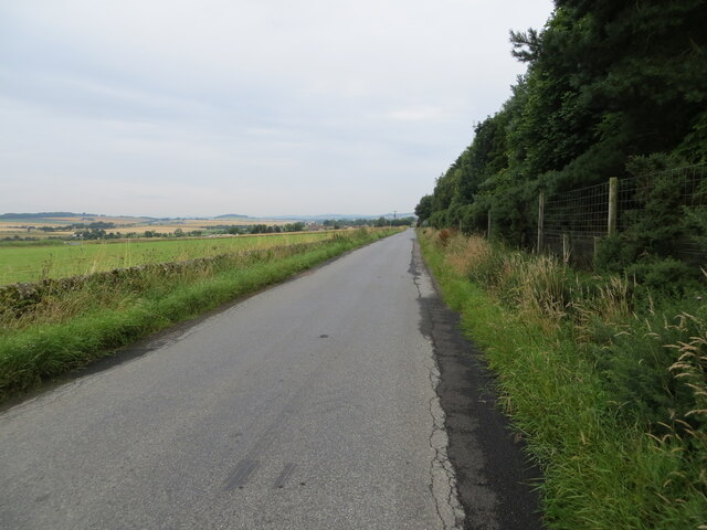
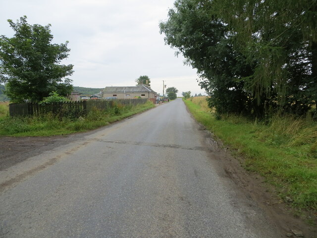
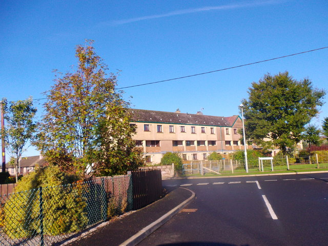
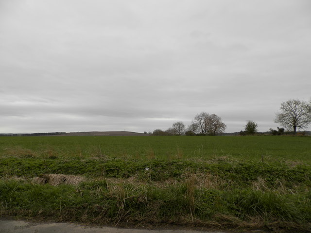
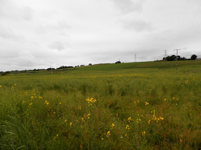
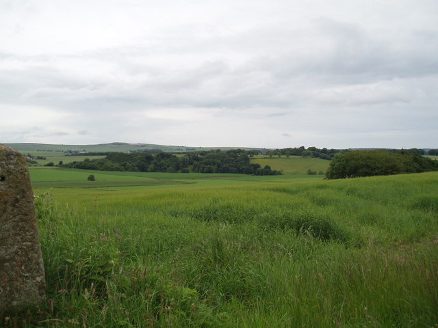
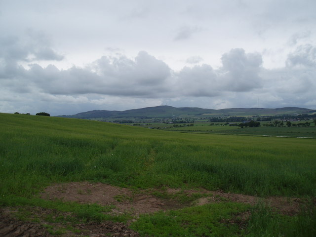
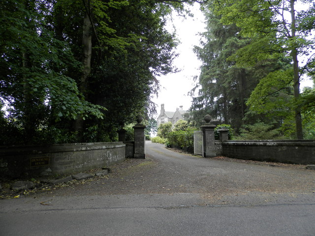
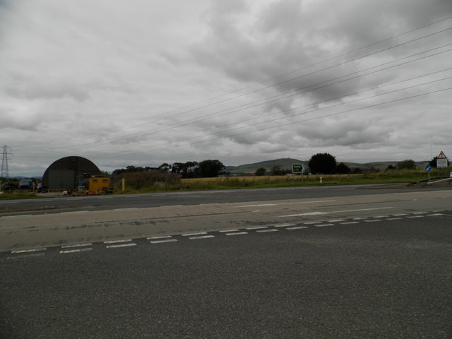
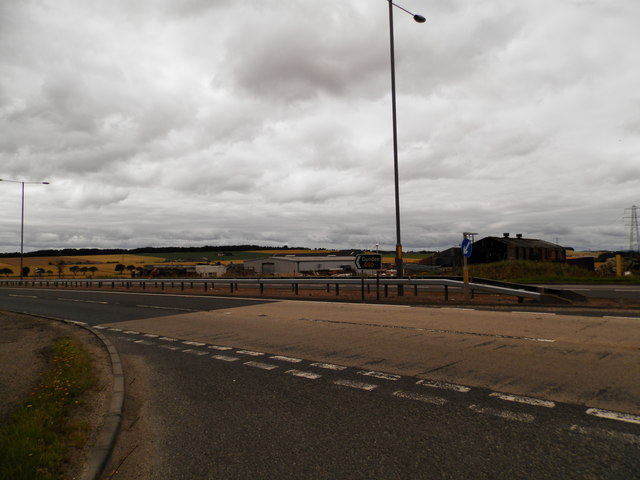
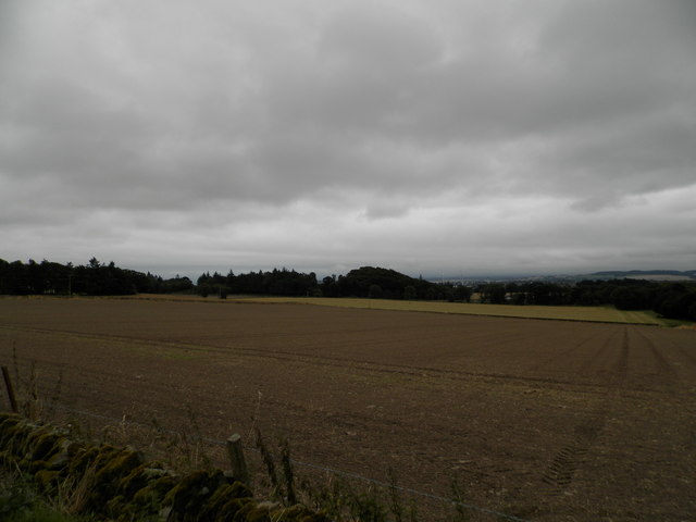
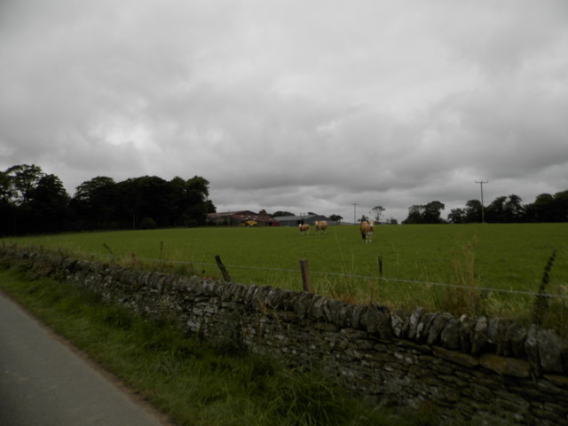
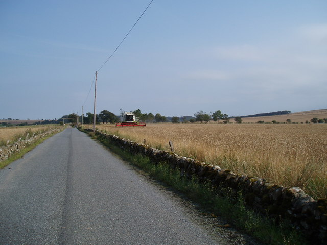
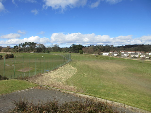
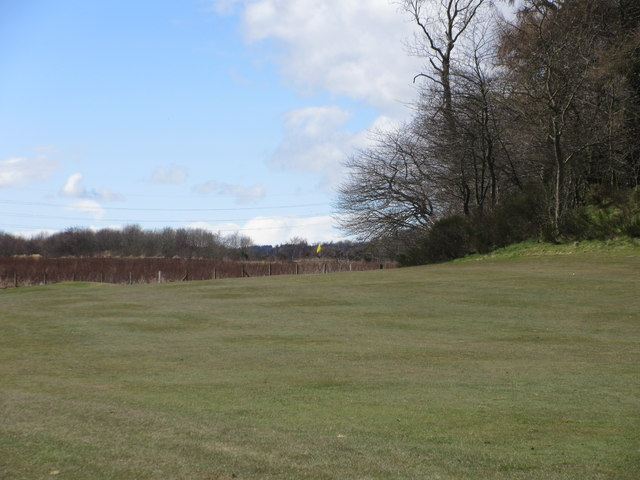
Craig Hill Images
Images are sourced within 2km of 56.511348/-2.9247201 or Grid Reference NO4335. Thanks to Geograph Open Source API. All images are credited.


Craig Hill is located at Grid Ref: NO4335 (Lat: 56.511348, Lng: -2.9247201)
Unitary Authority: Angus
Police Authority: Tayside
What 3 Words
///thick.silent.forks. Near Dundee, Dundee City
Nearby Locations
Related Wikis

Burnside of Duntrune
Burnside of Duntrune is a hamlet in Angus, Scotland. It is situated 1 km North of Ballumbie on the outskirts of Dundee, on the Fithie Burn. == References ==

Powrie Castle
Powrie Castle is a ruined 16th-century castle located in the north of Dundee, Scotland. It was designated as a scheduled monument in 1971. The early 17th...

Inveraldie
Inveraldie is a village in Angus, Scotland. It lies on the north-bound side of the A90 road, two miles north of Dundee. == References ==

Braeview Academy
Braeview Academy is a secondary school in Dundee, Scotland. Situated on top of a steep hill (brae), it was originally named Whitfield High School. It...
Related Videos
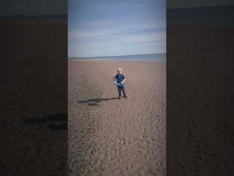
fintry places 1
people asked me to video a lot of places around the area where I live, this is a start of the footage, test run with my son walking ...

Fresh & Chips THE BEST CHIPPY in DUNDEE | Tracy & Colin The Food Huggers
Fresh & Chips THE BEST CHIPPY in DUNDEE | Tracy & Colin The Food Huggers We went to this chippy in Dundee just on the of ...
Nearby Amenities
Located within 500m of 56.511348,-2.9247201Have you been to Craig Hill?
Leave your review of Craig Hill below (or comments, questions and feedback).