Conlawer Hill
Hill, Mountain in Angus
Scotland
Conlawer Hill
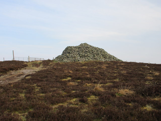
Conlawer Hill, also known as Angus Hill, is a prominent landmark located in the region of Angus, Scotland. Rising to an elevation of approximately 526 meters (1,726 feet), it is categorized as a hill rather than a mountain. The hill is situated near the village of Lintrathen, within a few kilometers of the border between Angus and Perth and Kinross.
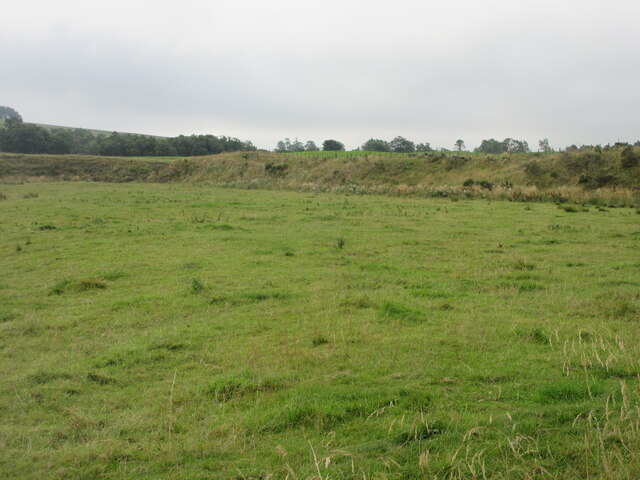
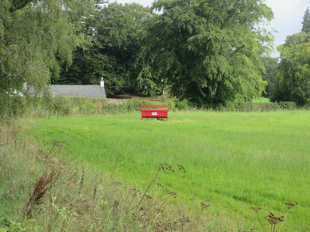
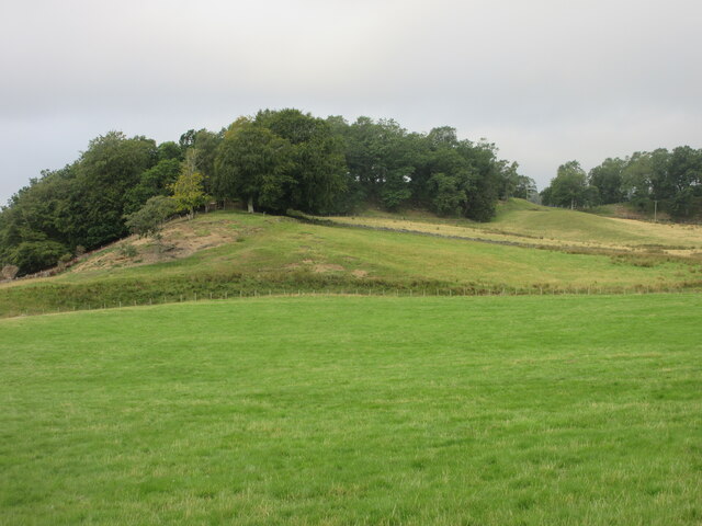
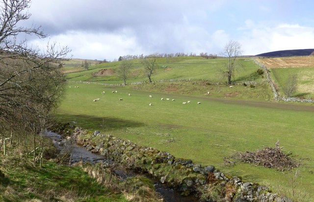
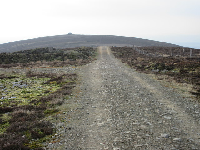
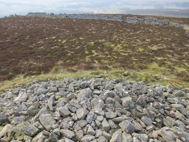
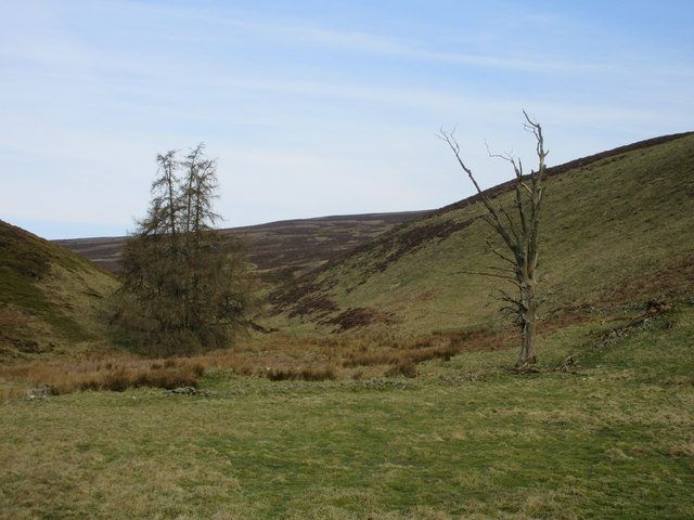
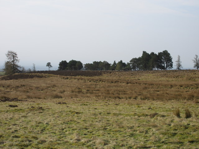
Conlawer Hill offers scenic views of the surrounding countryside, making it a popular destination for outdoor enthusiasts and nature lovers. Its distinctive shape, with a gentle slope on one side and steeper inclines on the other, adds to its visual appeal. The hill is covered in heather, grasses, and other vegetation, providing a rich habitat for various species of flora and fauna.
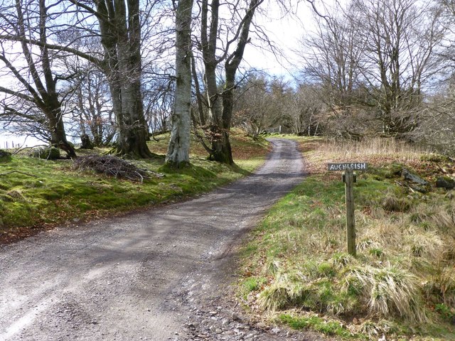
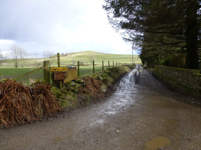
Hikers and walkers can access Conlawer Hill via a well-marked path that starts near the village of Lintrathen. The ascent can be challenging in some sections due to the steeper slopes, but the reward is the breathtaking panorama from the summit. On clear days, visitors can enjoy panoramic views of the surrounding Angus Glens, the Cairngorm Mountains, and even the North Sea.
Being a prominent landmark in the area, Conlawer Hill holds cultural significance, with local folklore and stories associated with its name. It serves as a reminder of the natural beauty and diverse landscapes that Scotland has to offer, attracting both locals and tourists alike.
If you have any feedback on the listing, please let us know in the comments section below.
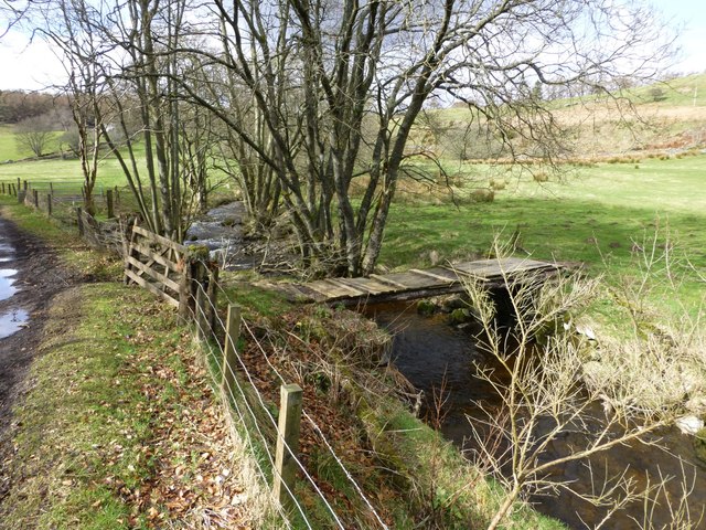
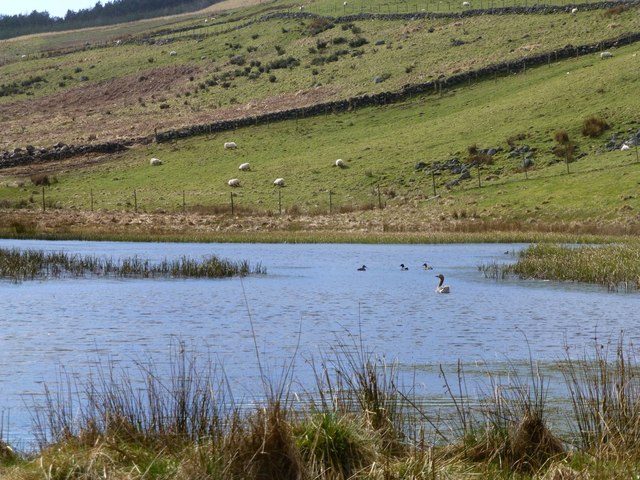
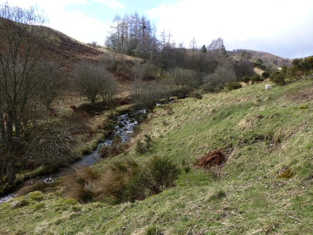
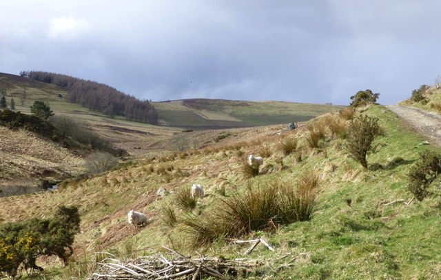
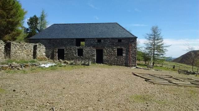
Conlawer Hill Images
Images are sourced within 2km of 56.753303/-2.93303 or Grid Reference NO4362. Thanks to Geograph Open Source API. All images are credited.

Conlawer Hill is located at Grid Ref: NO4362 (Lat: 56.753303, Lng: -2.93303)
Unitary Authority: Angus
Police Authority: Tayside
What 3 Words
///tribes.irritate.unveils. Near Kirriemuir, Angus
Nearby Locations
Related Wikis

Auchnacree
Auchnacree is an estate in Angus, Scotland, five miles north of Forfar.In 1921 the estate overseer, Mr Frank Rae, discovered what is now called the Auchnacree...

Memus
Memus is a small village in Angus, Scotland, north of Kirriemuir. It is home to the Drovers Pub. A story is told of a kelpie at Shielhill Bridge, leaving...

Cortachy Castle
Cortachy Castle is a castellated mansion House at Cortachy, Angus, Scotland, some four miles north of Kirriemuir. The present building dates from the 15th...

Noranside
Noranside is a hamlet in Angus, Scotland, located at 56° 44' 0" North, 2° 52' 0" West,. The prison HMP Noranside was operated there from 1966 to 2011....

Cortachy
Cortachy is a village in Angus, Scotland. It lies in at the mouth of Glen Clova, on the River South Esk, four miles north of Kirriemuir. Nearby lies Cortachy...

Angus (UK Parliament constituency)
Angus is a county constituency of the House of Commons of the Parliament of the United Kingdom (at Westminster). It elects one Member of Parliament (MP...
Inverquharity
Inverquharity is a Roman fortlet in Scotland, close to the Highland Line about 5 miles (8 km) north of Kirriemuir, Angus. Although very little archaeological...

Inverquharity Castle
Inverquharity Castle is a 15th-century tower house in Angus, Scotland. It lies around 4.5 kilometres (2.8 mi) north-east of Kirriemuir near the River South...
Nearby Amenities
Located within 500m of 56.753303,-2.93303Have you been to Conlawer Hill?
Leave your review of Conlawer Hill below (or comments, questions and feedback).