Kemback Hill
Hill, Mountain in Fife
Scotland
Kemback Hill
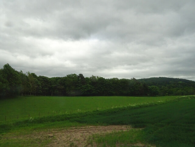
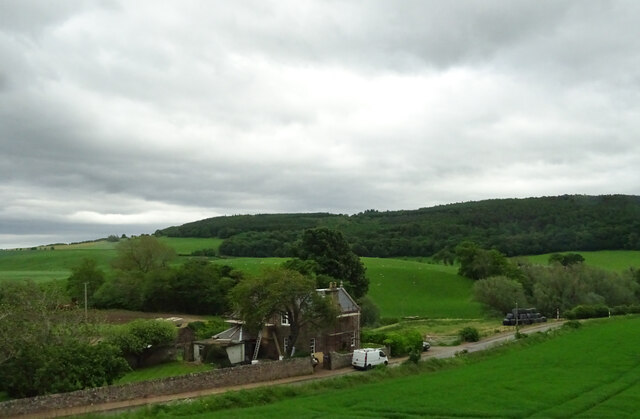
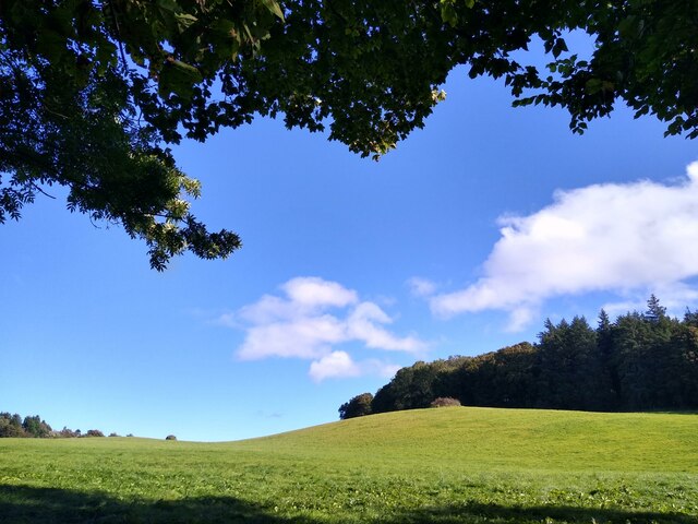
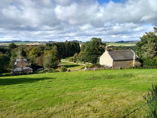
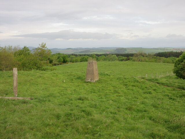
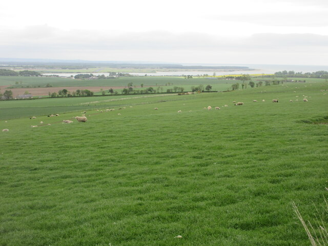
Kemback Hill, located in Fife, Scotland, is a prominent hill that offers stunning views of the surrounding landscape. With an elevation of 221 meters (725 feet), it is considered a notable landmark in the area.
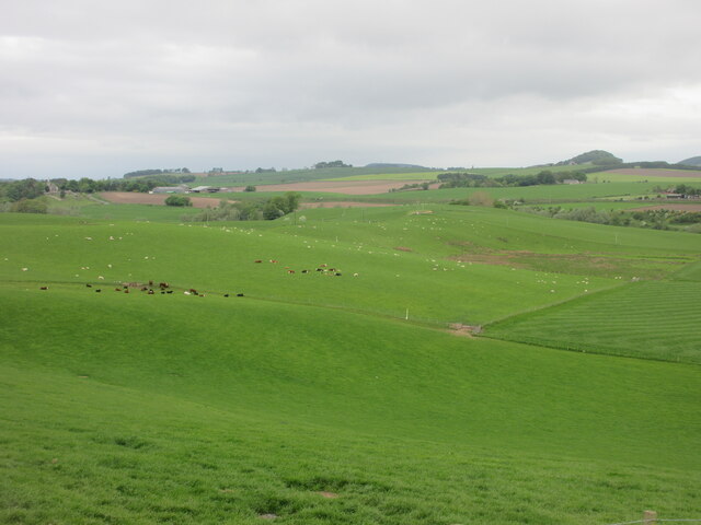
Situated about 5 miles northeast of Cupar, Kemback Hill is easily accessible for visitors looking to explore the region. The hill is part of the Lomond Hills Regional Park, which encompasses a diverse range of landscapes, including hills, woodlands, and open moorland.
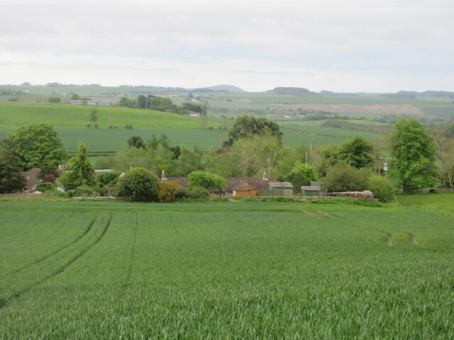
As one ascends Kemback Hill, they can enjoy panoramic views of the surrounding countryside, including the picturesque villages of Kemback and Pitscottie. On particularly clear days, one can even catch glimpses of the North Sea in the distance.
Kemback Hill is a popular destination for hikers and nature enthusiasts, offering several walking trails that cater to various fitness levels. The paths are well-maintained, making it an enjoyable experience for both experienced hikers and casual walkers.
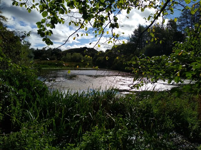
The hill is also home to a variety of flora and fauna, including heather, ferns, and a diverse range of bird species. Visitors may spot buzzards, kestrels, and various songbirds during their exploration of Kemback Hill.
Overall, Kemback Hill provides a peaceful and scenic escape for those seeking a break from the hustle and bustle of daily life, offering breathtaking views, diverse wildlife, and a chance to connect with nature in the heart of Fife.
If you have any feedback on the listing, please let us know in the comments section below.
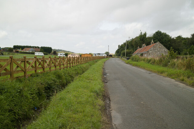
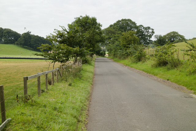
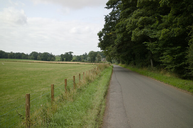
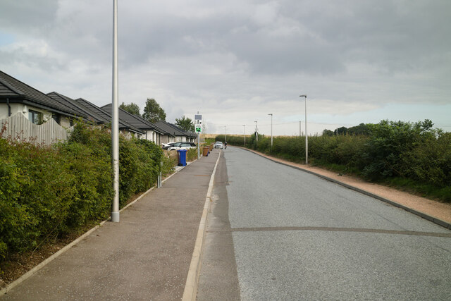
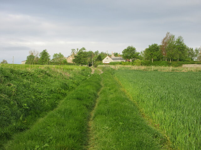
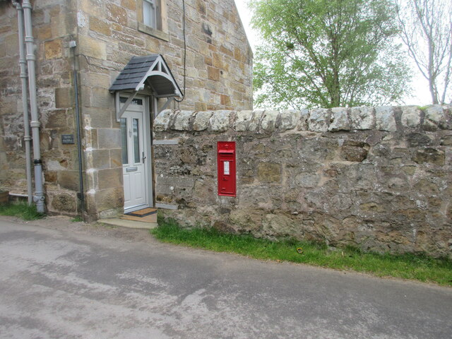
Kemback Hill Images
Images are sourced within 2km of 56.332753/-2.9235817 or Grid Reference NO4215. Thanks to Geograph Open Source API. All images are credited.

Kemback Hill is located at Grid Ref: NO4215 (Lat: 56.332753, Lng: -2.9235817)
Unitary Authority: Fife
Police Authority: Fife
What 3 Words
///blackbird.insert.treating. Near Balmullo, Fife
Nearby Locations
Related Wikis

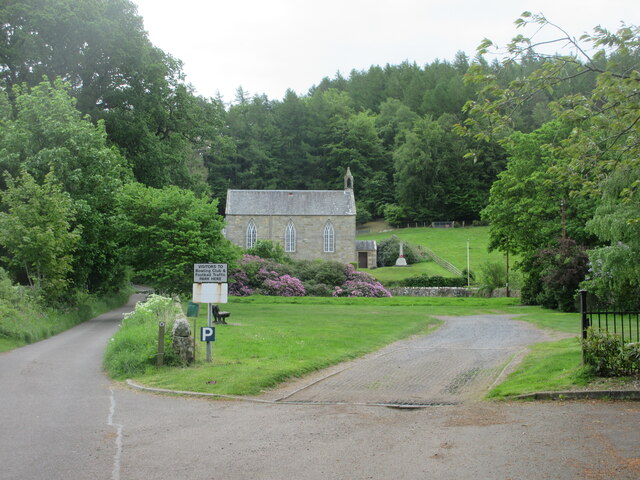
Blebo Craigs
Blebo Craigs, or Blebocraigs is a village in rural Fife, Scotland. The village contains around one hundred houses on the south-facing slope of the hill...

Dairsie Bridge
Dairsie Bridge is a 16th-century stone bridge, located 1.2 kilometres (0.75 mi) south of Dairsie, in north-east Fife, Scotland. It carries a minor road...
Dairsie railway station
Dairsie railway station served the village of Dairsie, Fife, Scotland from 1848 to 1954 on the Edinburgh and Northern Railway. == History == The station...

Kemback
Kemback (Scottish Gaelic: Ceann Bac) is a village and parish in Fife, Scotland, located 2.5 miles (4.0 km) east of Cupar. The present village was developed...

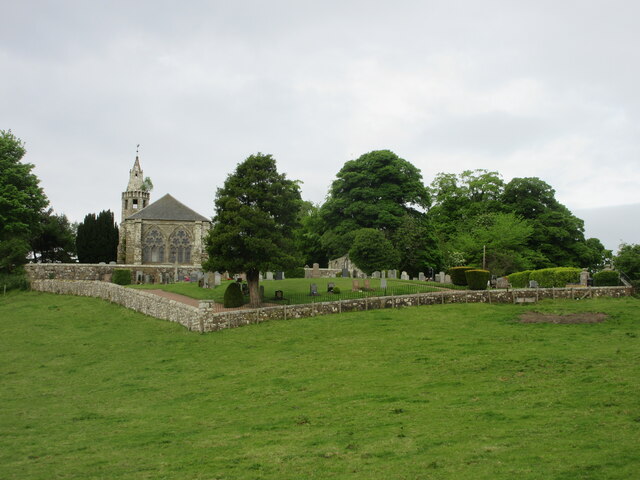
Dairsie Old Church
Dairsie Old Church, formerly St Mary's Church, is the former parish church of Dairsie, in north-east Fife, Scotland. It is located around 1.2 kilometres...

Dairsie Castle
Dairsie Castle is a restored tower house located 1.3 kilometres (0.81 mi) south of Dairsie in north-east Fife, Scotland. The castle overlooks the River...
Dairsie Hoard
The Dairsie Hoard is a hoard of late 3rd century Roman hacksilver that was found near Dairsie, Fife, Scotland in 2014 by a teenage boy, David Hall, at...
Dairsie
Dairsie, or Osnaburgh, is a village and parish in north-east Fife, Scotland. It is 3 miles (4.8 km) south-southwest of Leuchars Junction, and 3 miles...
Nearby Amenities
Located within 500m of 56.332753,-2.9235817Have you been to Kemback Hill?
Leave your review of Kemback Hill below (or comments, questions and feedback).