Plover Hill
Hill, Mountain in Lancashire Lancaster
England
Plover Hill
Plover Hill is a prominent hill located in the county of Lancashire, England. It is part of the Yorkshire Dales National Park and is situated near the village of Horton in Ribblesdale. The hill stands at an elevation of 680 meters (2,231 feet) above sea level, making it one of the highest points in the area.
Plover Hill is a popular destination for hikers and outdoor enthusiasts, offering stunning panoramic views of the surrounding countryside. The hill is known for its rugged terrain and rocky outcrops, making it a challenging but rewarding climb for those who make the journey to the summit.
The hill is also home to a variety of wildlife, including birds of prey such as peregrine falcons and red kites. The area is designated as a Site of Special Scientific Interest (SSSI) due to its unique flora and fauna, making it an important conservation area.
Overall, Plover Hill is a beautiful and diverse natural landmark in Lancashire, offering visitors the opportunity to explore the stunning landscape and enjoy a sense of tranquility and serenity in the heart of the Yorkshire Dales.
If you have any feedback on the listing, please let us know in the comments section below.
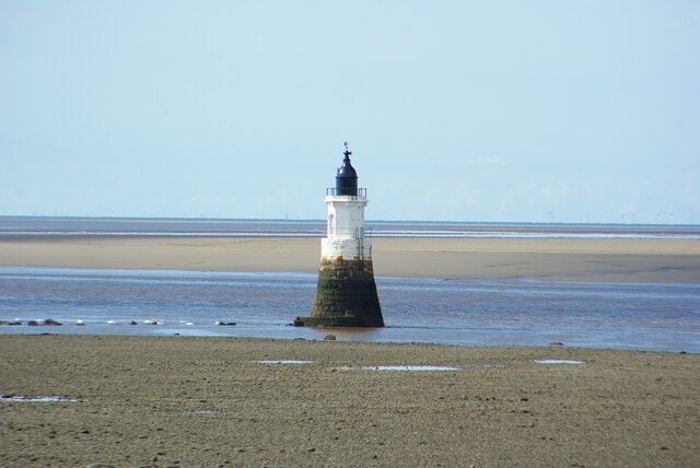
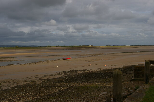
Plover Hill Images
Images are sourced within 2km of 53.979421/-2.8745195 or Grid Reference SD4254. Thanks to Geograph Open Source API. All images are credited.


Plover Hill is located at Grid Ref: SD4254 (Lat: 53.979421, Lng: -2.8745195)
Administrative County: Lancashire
District: Lancaster
Police Authority: Lancashire
What 3 Words
///calibrate.value.riverside. Near Overton, Lancashire
Nearby Locations
Related Wikis

Cockersand Abbey
Cockersand Abbey is a former abbey and former civil parish near Cockerham in the City of Lancaster district of Lancashire, England. It is situated near...

Longworth, Lancashire
Longworth was a township of the civil and ecclesiastical parish of Bolton le Moors in the Salford hundred of Lancashire, England. == History == The township...
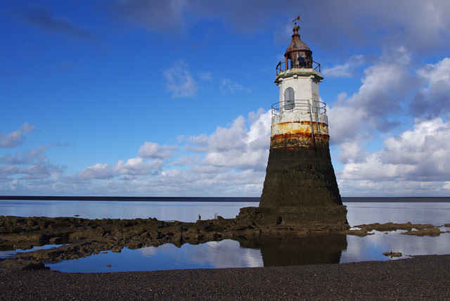
Plover Scar Lighthouse
Plover Scar Lighthouse, also known as the Abbey Lighthouse, is an active 19th century lighthouse sited at the entrance of the Lune estuary, near Cockersand...
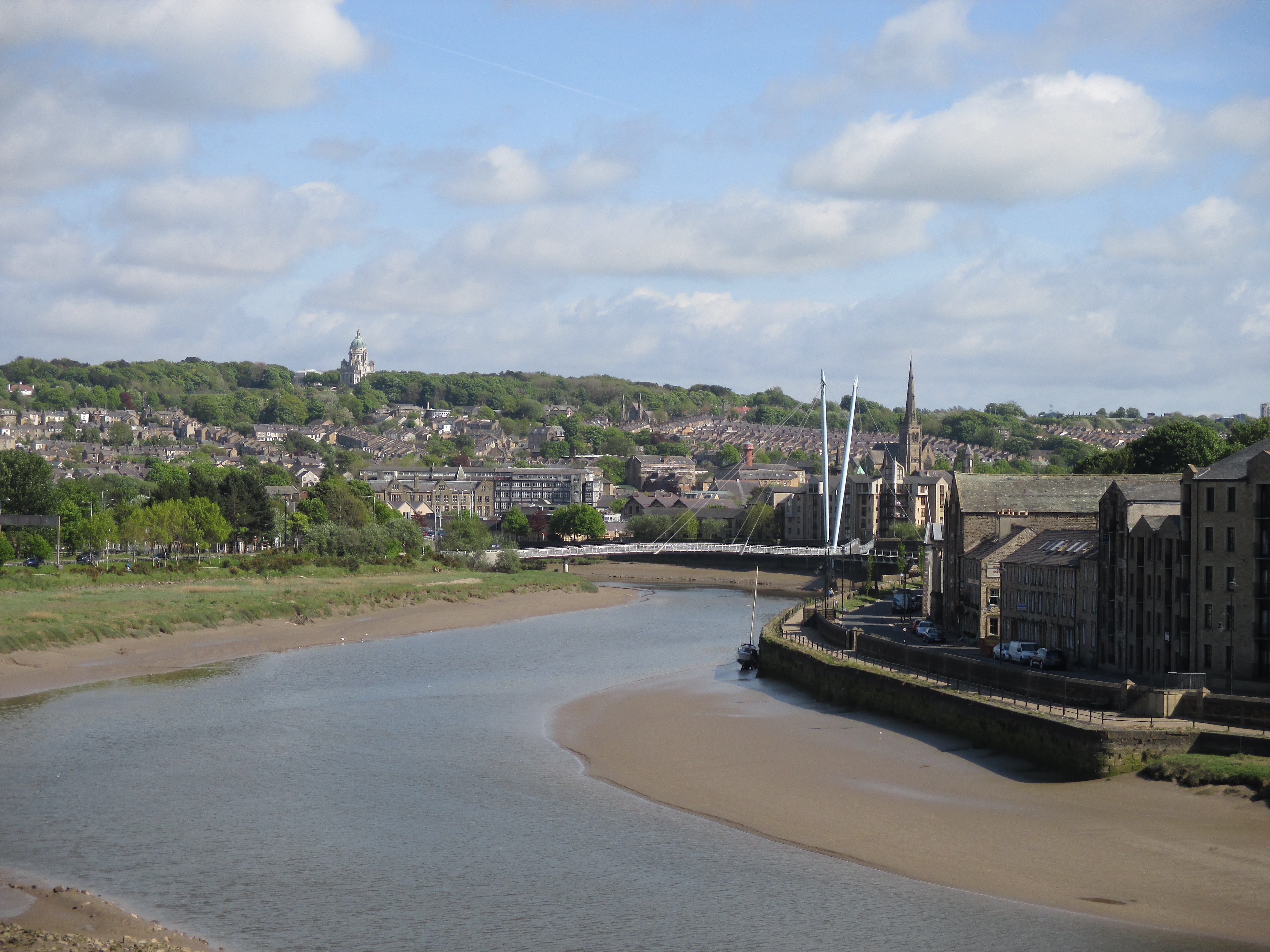
River Lune
The River Lune (archaically sometimes Loyne) is a river 53 miles (85 km) in length in Cumbria and Lancashire, England. == Etymology == Several elucidations...
Nearby Amenities
Located within 500m of 53.979421,-2.8745195Have you been to Plover Hill?
Leave your review of Plover Hill below (or comments, questions and feedback).