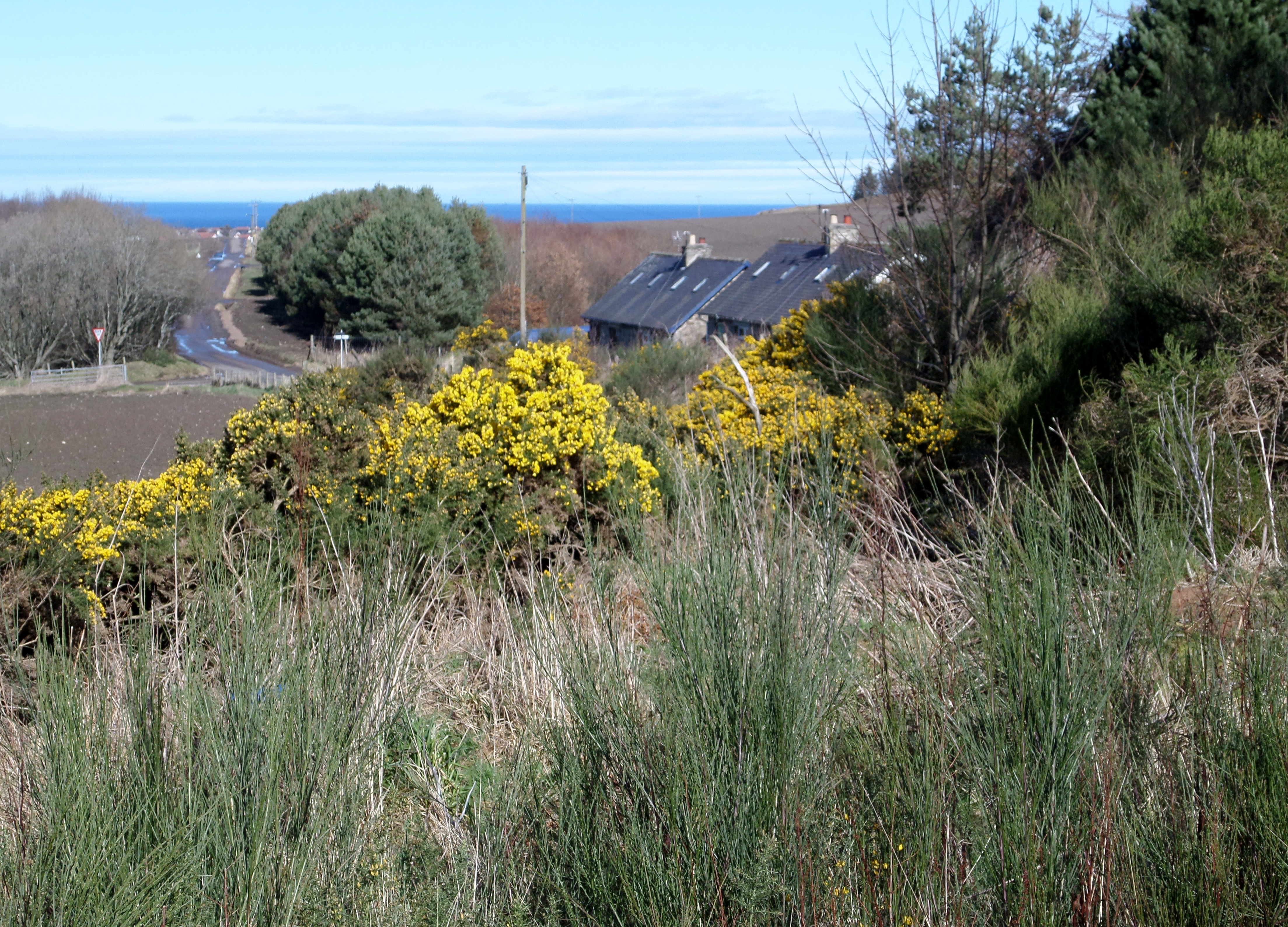
Meikle Hill

Hill, Mountain in Banffshire

Scotland

Meikle Hill

An Ominous Sight As we set off to retrace a favourite walk, we were confronted by what turned out to be the first of many obstructions in the shape of trees blown down across the track by Storm Arwen last November. I expect that Forest and Land Scotland will eventually get round to clearing little-used tracks like this one, but there must be many much more inconvenient blockages to deal with in the meantime.
An Ominous Sight Credit: Anne Burgess

Meikle Hill is a prominent hill located in Banffshire, Scotland. It is situated approximately 2.5 miles south of the town of Keith and stands at an elevation of around 1,086 feet (331 meters) above sea level. Meikle Hill is part of the larger Grampian Mountains range, which stretches across the eastern region of Scotland.

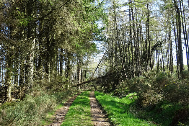
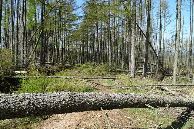
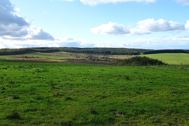
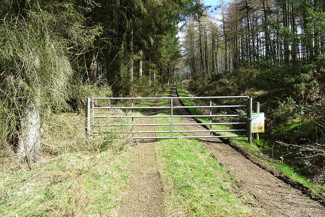
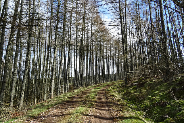
The hill offers stunning panoramic views of the surrounding countryside, with its slopes covered in heather and grasses. It is a popular spot for outdoor enthusiasts and hikers, as there are several walking trails that lead to the summit. These trails vary in difficulty, providing options for both beginners and experienced walkers.

At the top of Meikle Hill, visitors are rewarded with breathtaking vistas that encompass the Moray Firth, the Cairngorms National Park, and the town of Keith itself. On a clear day, it is even possible to spot the North Sea in the distance.

Meikle Hill is also home to a variety of wildlife, including red deer, hares, and a diverse range of bird species. It serves as an important habitat for these creatures, contributing to the region's ecological diversity.

Overall, Meikle Hill offers a unique opportunity to explore the natural beauty of Banffshire, providing a memorable experience for those seeking outdoor adventure or simply a peaceful escape into nature.

If you have any feedback on the listing, please let us know in the comments section below.
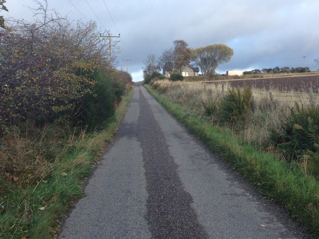
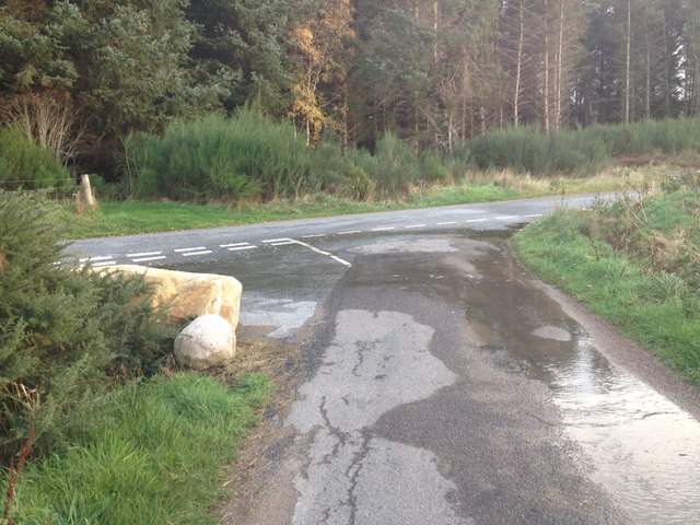
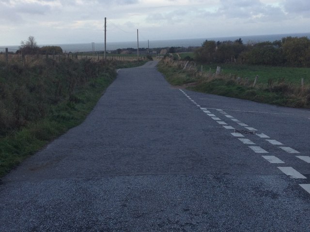
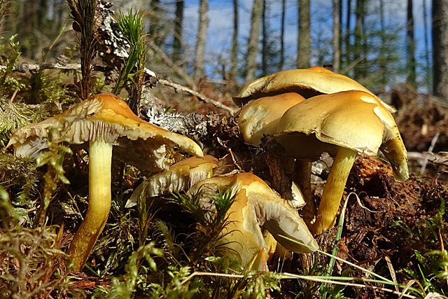
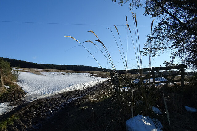
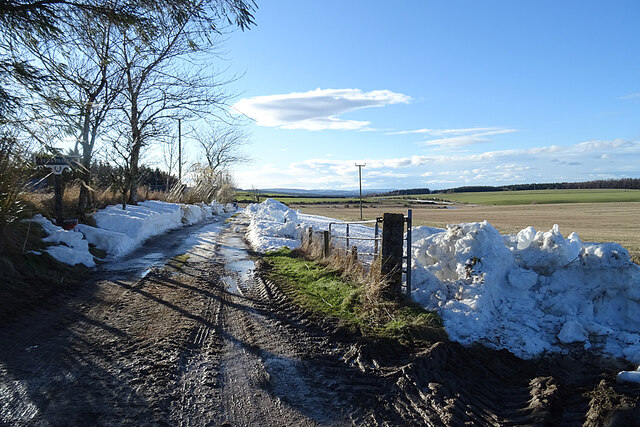
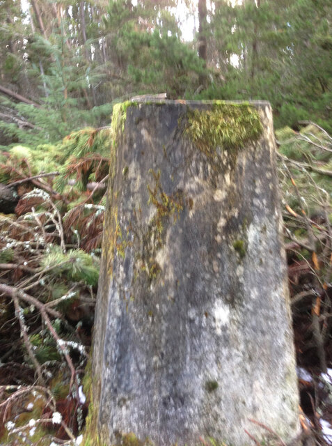
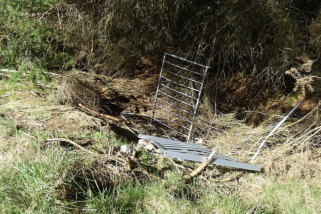
Meikle Hill Images

Images are sourced within 2km of 57.631099/-2.9609442 or Grid Reference NJ4260. Thanks to Geograph Open Source API. All images are credited.

An Ominous Sight As we set off to retrace a favourite walk, we were confronted by what turned out to be the first of many obstructions in the shape of trees blown down across the track by Storm Arwen last November. I expect that Forest and Land Scotland will eventually get round to clearing little-used tracks like this one, but there must be many much more inconvenient blockages to deal with in the meantime.
An Ominous Sight
As we set off to retrace a favourite walk, we were confronted by what turned out to be the first of many obstructions in the shape of trees blown down across the track by Storm Arwen last November. I expect that Forest and Land Scotland will eventually get round to clearing little-used tracks like this one, but there must be many much more inconvenient blockages to deal with in the meantime.
An Obstacle Course If we thought this was a significant obstacle, it was nothing to some of the ones we encountered further on where trees have been blown down across the track by Storm Arwen last November. I expect that Forest and Land Scotland will eventually get round to clearing little-used tracks like this one, but there must be many much more inconvenient blockages to deal with in the meantime.
An Obstacle Course
If we thought this was a significant obstacle, it was nothing to some of the ones we encountered further on where trees have been blown down across the track by Storm Arwen last November. I expect that Forest and Land Scotland will eventually get round to clearing little-used tracks like this one, but there must be many much more inconvenient blockages to deal with in the meantime.
Near the site of Drybridge Halt, 1997 View NE, towards Portessie: ex-Highland Railway Keith - Portessie branch. The line was closed back in 8/1915! Note the curiosity of the Aberdeen Angus.
Near the site of Drybridge Halt, 1997
View NE, towards Portessie: ex-Highland Railway Keith - Portessie branch. The line was closed back in 8/1915! Note the curiosity of the Aberdeen Angus.
Road junction near Holmie
Minor road near Drybridge
Road junction near Hillpark
Road junctions near Drybridge
Toadstools More fungi that I am unable to identify. Any help will be welcomed.
Toadstools
More fungi that I am unable to identify. Any help will be welcomed.
Black Bourock The map labels the far side of this scene Black Bourock, which seems very appropriate. The word 'bourach' has many meanings, some of which are a confused heap, a mess, or a muddle. This is exactly right to describe the scene of devastation left by forest harvesting.
Black Bourock
The map labels the far side of this scene Black Bourock, which seems very appropriate. The word 'bourach' has many meanings, some of which are a confused heap, a mess, or a muddle. This is exactly right to describe the scene of devastation left by forest harvesting.
Kittoch Swiles It looks as if the forest shown on the maps has been felled, opening up a view over Kittoch Swiles towards Rotten Moss.
Kittoch Swiles
It looks as if the forest shown on the maps has been felled, opening up a view over Kittoch Swiles towards Rotten Moss.
Phyllite Phyllite is a rock similar to slate, but which has undergone slightly higher grade metamorphism. This causes mica crystals to align with one another, giving the rock a stripy sheen.
Phyllite
Phyllite is a rock similar to slate, but which has undergone slightly higher grade metamorphism. This causes mica crystals to align with one another, giving the rock a stripy sheen.
Snow on the Field A bank of snow is lingering at the entrance to this field at Buinnach.
Snow on the Field
A bank of snow is lingering at the entrance to this field at Buinnach.
Road to Berrybauds The occupants have had to dig their way out through several deep drifts of blown snow.
Road to Berrybauds
The occupants have had to dig their way out through several deep drifts of blown snow.
Fallen and wind blown trees near Broken Moan Trig Point
Broken Moan Trig Point Flush Bracket S7223 I was broken and I did moan getting to this trigpoint, it's narrowly missed a fallen tree itself
Broken Moan Trig Point Flush Bracket S7223
I was broken and I did moan getting to this trigpoint, it's narrowly missed a fallen tree itself
Dumb Dumpers Someone has taken all the trouble to drive all the way up here to dump a couple of heated towel rails and other rubbish that should have been taken to a recycling centre. Why?
Dumb Dumpers
Someone has taken all the trouble to drive all the way up here to dump a couple of heated towel rails and other rubbish that should have been taken to a recycling centre. Why?
Forest Gate As usual, there's plenty of room for walkers and cyclists to step round the gate and gain access to the network of forest roads.
Forest Gate
As usual, there's plenty of room for walkers and cyclists to step round the gate and gain access to the network of forest roads.
Forest Road Just what you want for a nice walk - a gently sloping road, dry underfoot, with plenty of sunlight filtering through the trees.
Forest Road
Just what you want for a nice walk - a gently sloping road, dry underfoot, with plenty of sunlight filtering through the trees.
Show me another place!

Meikle Hill is located at Grid Ref: NJ4260 (Lat: 57.631099, Lng: -2.9609442)

Unitary Authority: Moray

Police Authority: North East

What 3 Words

///vipers.stub.vanilla. Near Buckie, Moray

Nearby Locations

Meikle Hill Farnachty Wood

Related Wikis

Enzie railway station

Enzie railway station was a station which served the hamlet of Enzie, in the Scottish county of Moray. It was served by trains on the Buckie and Portessie...

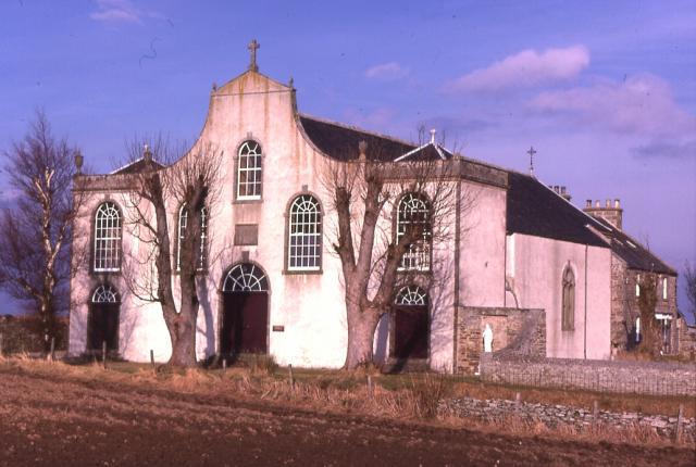
St Gregory's Church, Preshome

St. Gregory's Church is a Roman Catholic church at Preshome near Buckie in north-east Scotland. It is protected as a category A listed building.Built...

Craigmin Bridge

Craigmin Bridge is an eighteenth century bridge within the grounds of Letterfourie House, in Moray, Scotland. Spanning the Burn of Letterfourie, it once...

Drybridge Platform railway station

Drybridge Platform railway station or Drybridge railway station was a station which served the hamlet of that name in the parish of Rathven and in addition...

Letterfourie House

Letterfourie House is a Georgian house in Moray, built by Robert Adam and completed in 1773. Its main block has three main storeys, with a raised cellar...

Foudland Hills

The Foudland Hills is a mountain range in the northeast of Aberdeenshire, Scotland and northwest of Morayshire. The Foudland Hills are a prominent feature...

Arradoul

Arradoul is a small village in Scotland, in the traditional county of Banffshire, and in the Moray council area. It is a ribbon settlement on the south...

Inchgower distillery

Inchgower distillery is a whisky distillery producing a single malt of the same name located on the outskirts of Buckie, Moray, Scotland. == History... ==

Nearby Amenities

Located within 500m of 57.631099,-2.9609442
Power: pole
Lat/Long: 57.6278886/-2.9660579
Power: pole
Lat/Long: 57.6283532/-2.9649796
Power: pole
Lat/Long: 57.6288226/-2.9638356
Power: pole
Lat/Long: 57.6292638/-2.9627903
Power: pole
Lat/Long: 57.6310601/-2.9681771
Power: pole
Lat/Long: 57.6313722/-2.9670441
Power: pole
Lat/Long: 57.6348737/-2.9573804
Power: pole
Lat/Long: 57.6345323/-2.9578428
Power: pole
Lat/Long: 57.6341769/-2.9583512
The data included in this document is from www.openstreetmap.org. The data is made available under ODbL.

Have you been to Meikle Hill?

Leave your review of Meikle Hill below (or comments, questions and feedback).