St Arnold's Seat

Hill, Mountain in Angus

Scotland

St Arnold's Seat

Sun on Donald's Hill Early morning sunshine on Donald's Hill viewed from the east.
Sun on Donald's Hill Credit: Scott Cormie

St Arnold's Seat is a prominent hill located in the county of Angus, Scotland. It is situated near the town of Montrose, approximately 2 miles southeast of the town center. With an elevation of around 175 meters (575 feet), it is often referred to as a hill rather than a mountain.

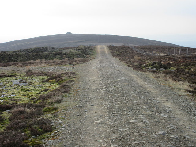
The hill takes its name from St Arnold, a Scottish saint who lived in the 6th century. St Arnold's Seat is a popular destination for locals and visitors alike who are drawn to its beautiful natural surroundings and panoramic views. The hill is easily accessible, with a well-maintained footpath leading to its summit.

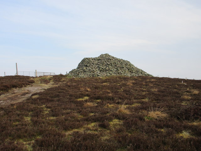
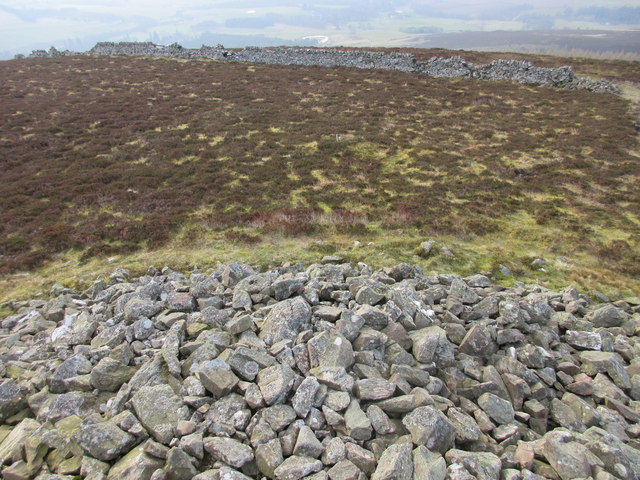
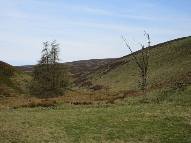
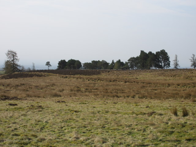
At the top of St Arnold's Seat, one can enjoy breathtaking vistas of the surrounding Angus countryside, the North Sea, and on clear days, even catch a glimpse of the distant Grampian Mountains to the northwest. The hill is covered in lush green grass and scattered with heather, providing a picturesque setting for walkers, hikers, and nature enthusiasts.

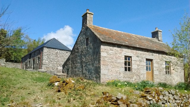
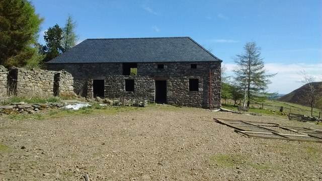
The area around St Arnold's Seat is rich in history and folklore. It is said that St Arnold himself used to meditate and pray on the hill, and remnants of an ancient chapel dedicated to him can still be found nearby. The hill also features in local legends and tales, adding to its mystique and allure.

Overall, St Arnold's Seat offers a peaceful and scenic outdoor experience, combining natural beauty, historical significance, and stunning views, making it a must-visit destination for those exploring the Angus region of Scotland.

If you have any feedback on the listing, please let us know in the comments section below.

St Arnold's Seat Images

Images are sourced within 2km of 56.767193/-2.938937 or Grid Reference NO4264. Thanks to Geograph Open Source API. All images are credited.

Sun on Donald's Hill Early morning sunshine on Donald's Hill viewed from the east.
Sun on Donald's Hill
Early morning sunshine on Donald's Hill viewed from the east.
Naked Tam Faint straight path heading over Naked Tam.
Naked Tam
Faint straight path heading over Naked Tam.
Heading to St.Arnold's Seat The track from Naked Tam heading for the cairn on St.Arnold's Seat.
Heading to St.Arnold's Seat
The track from Naked Tam heading for the cairn on St.Arnold's Seat.
The big cairn, St. Arnold's Seat The massive twenty foot cairn on St. Arnold's Seat, viewed from the south.
The big cairn, St. Arnold's Seat
The massive twenty foot cairn on St. Arnold's Seat, viewed from the south.
Top of the cairn, St. Arnold's Seat The view down from the top of the cairn, looking towards the ruined dyke that probably helped build the cairn.
Top of the cairn, St. Arnold's Seat
The view down from the top of the cairn, looking towards the ruined dyke that probably helped build the cairn.
Living pine and dead pine View from the track to Baikies, looking up the burn that runs down from St. Arnold's Seat.
Living pine and dead pine
View from the track to Baikies, looking up the burn that runs down from St. Arnold's Seat.
Pine wood Scots pines seen from the track to Baikies.
Pine wood
Scots pines seen from the track to Baikies.
Lonely track The track heading from Baikies to Buckies.
Lonely track
The track heading from Baikies to Buckies.
The ruin of Buckies What's left of the buildings at Buckies.
The ruin of Buckies
What's left of the buildings at Buckies.
Baikies, Glen Quiech Mill now re-roofed. Impressive.
Baikies, Glen Quiech
Mill now re-roofed. Impressive.
Mill at Baikies Re-roofed mill from west.
Mill at Baikies
Re-roofed mill from west.
Buckies from Clashencake Buckies in the distance.
Buckies from Clashencake
Buckies in the distance.
Glenogil reservoir From the edge of the reservoir.
Glenogil reservoir
From the edge of the reservoir.
St. Arnold's Seat Glenogil Reservoir in the foreground.
St. Arnold's Seat
Glenogil Reservoir in the foreground.
The Baikies Old mill farm amongst the trees
The Baikies
Old mill farm amongst the trees
Buckies, Glenquiech Ruined cottage of The Buckies at the head of Glenquiech, Angus.
Buckies, Glenquiech
Ruined cottage of The Buckies at the head of Glenquiech, Angus.
Field system, Glen Moy. Marked on the map as Sheriffbank Park. The area now used for grazing shows signs of earlier cultivation
Field system, Glen Moy.
Marked on the map as Sheriffbank Park. The area now used for grazing shows signs of earlier cultivation
Buckies, Glenquiech This was an old farmhouse at the top of Glenquiech
Buckies, Glenquiech
This was an old farmhouse at the top of Glenquiech
Show me another place!

St Arnold's Seat is located at Grid Ref: NO4264 (Lat: 56.767193, Lng: -2.938937)

Unitary Authority: Angus

Police Authority: Tayside

What 3 Words

///newsstand.twitches.composer. Near Kirriemuir, Angus

Nearby Locations

St Arnold's Seat

Related Wikis

Angus (UK Parliament constituency)

Angus is a county constituency of the House of Commons of the Parliament of the United Kingdom (at Westminster). It elects one Member of Parliament (MP...

Auchnacree

Auchnacree is an estate in Angus, Scotland, five miles north of Forfar.In 1921 the estate overseer, Mr Frank Rae, discovered what is now called the Auchnacree...

Memus

Memus is a small village in Angus, Scotland, north of Kirriemuir. It is home to the Drovers Pub. A story is told of a kelpie at Shielhill Bridge, leaving...

Cortachy Castle

Cortachy Castle is a castellated mansion House at Cortachy, Angus, Scotland, some four miles north of Kirriemuir. The present building dates from the 15th...

Nearby Amenities

Located within 500m of 56.767193,-2.938937
Hill of Ogil
Ele: 507
Natural: peak
Lat/Long: 56.7675856/-2.9385062
The data included in this document is from www.openstreetmap.org. The data is made available under ODbL.

Have you been to St Arnold's Seat?

Leave your review of St Arnold's Seat below (or comments, questions and feedback).