Chapel Hill

Hill, Mountain in Roxburghshire

Scotland

Chapel Hill

Branxholme Easter Loch A bull beside the water. The rest of the herd were nearby on rough grazing.
Branxholme Easter Loch Credit: Richard Webb

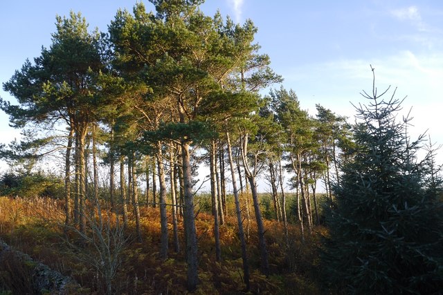
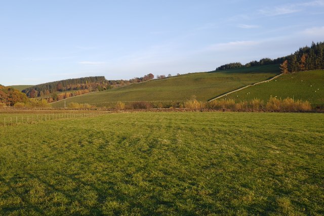
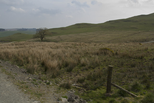
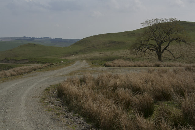
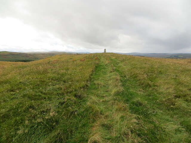
Chapel Hill is a prominent hill located in the county of Roxburghshire in the Scottish Borders region of Scotland. Rising to an elevation of approximately 290 meters (951 feet), it is a notable landmark in the area and offers breathtaking views of the surrounding countryside.

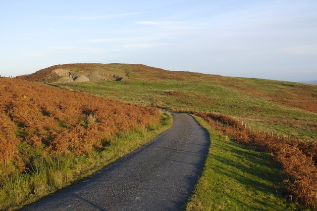
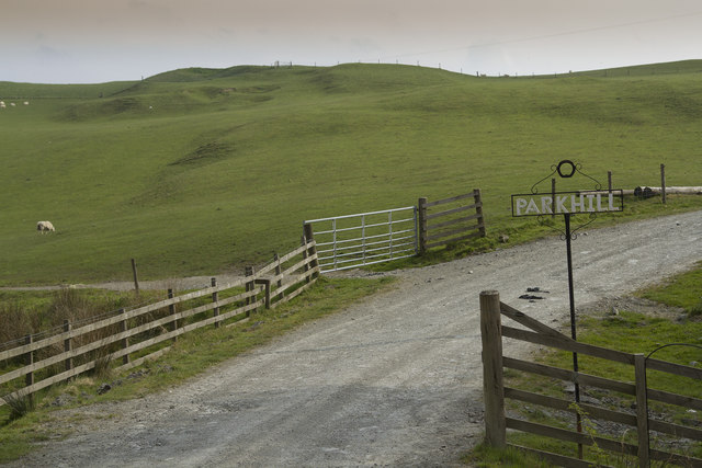
Situated near the village of Oxnam, Chapel Hill is a popular destination for hikers and nature enthusiasts. The hill is easily accessible, with well-maintained footpaths leading to the summit, making it an ideal spot for both experienced and novice walkers. The climb to the top is relatively gentle, ensuring that visitors of all ages and fitness levels can enjoy the experience.

Once atop Chapel Hill, visitors are rewarded with panoramic vistas of the rolling hills, lush green fields, and charming villages that dot the landscape. On a clear day, it is possible to see as far as the Cheviot Hills, which lie on the border between Scotland and England.

The hill takes its name from the ruined chapel that sits at its base. The chapel, believed to have been built in the 12th century, adds a historical touch to the area and provides an intriguing glimpse into the past.

Overall, Chapel Hill in Roxburghshire offers an excellent opportunity for outdoor exploration and a chance to immerse oneself in the natural beauty and rich history of the Scottish Borders.

If you have any feedback on the listing, please let us know in the comments section below.
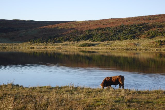
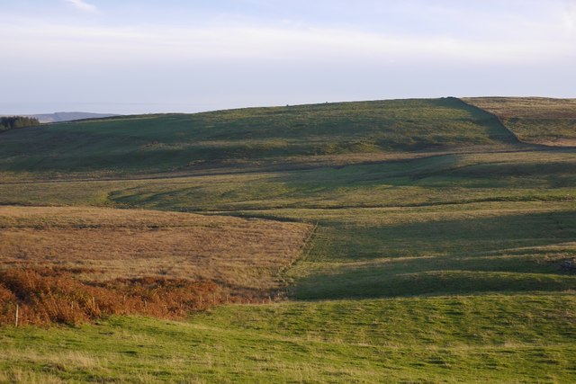
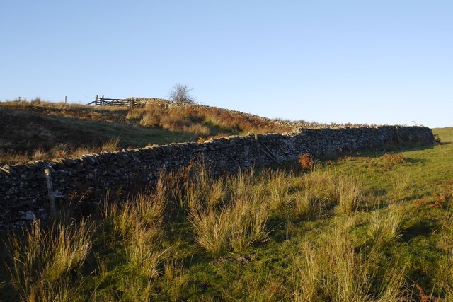
Chapel Hill Images

Images are sourced within 2km of 55.395472/-2.9063521 or Grid Reference NT4211. Thanks to Geograph Open Source API. All images are credited.

Branxholme Easter Loch A bull beside the water. The rest of the herd were nearby on rough grazing.
Branxholme Easter Loch
A bull beside the water. The rest of the herd were nearby on rough grazing.
Cold Fell A narrow gated road on the moor at Branxholme.
Cold Fell
A narrow gated road on the moor at Branxholme.
Fields, Branxholme Improved grazing and moorland above Teviotdale.
Fields, Branxholme
Improved grazing and moorland above Teviotdale.
Dykes, Chapel Hill Hill farming upstream of Hawick.
Dykes, Chapel Hill
Hill farming upstream of Hawick.
Branxholme Wester Loch Plantation A clump of mature trees surrounded by younger stock.
Branxholme Wester Loch Plantation
A clump of mature trees surrounded by younger stock.
Haugh below Milsingden Flat grassland beside the Borthwick Water.
Haugh below Milsingden
Flat grassland beside the Borthwick Water.
The Woodburn This small stream, a burn in Scotland, passes right by our holiday cottage. There are Grey Wagtail and many other birds feeding and drinking by the banks of the burn.
The Woodburn
This small stream, a burn in Scotland, passes right by our holiday cottage. There are Grey Wagtail and many other birds feeding and drinking by the banks of the burn.
Chisholme hamlet This large house has several yourts in its grounds. It seems to be a place where you can live for a while to find yourself. There are a few other smaller houses in the hamlet.
Chisholme hamlet
This large house has several yourts in its grounds. It seems to be a place where you can live for a while to find yourself. There are a few other smaller houses in the hamlet.
The entrance to Parkhill Farm Parkhill Farm seems to be mainly pastoral, with a large number of sheep and some cattle. The cattle were all close to the farm buildings, whereas the sheep were scattered over several fields on the hillside.
The entrance to Parkhill Farm
Parkhill Farm seems to be mainly pastoral, with a large number of sheep and some cattle. The cattle were all close to the farm buildings, whereas the sheep were scattered over several fields on the hillside.
Parkhill Farm buildings The barn, half full of bales, with other buildings in the background.
Parkhill Farm buildings
The barn, half full of bales, with other buildings in the background.
Moorland and fields of Parkhill farm It is not clear where the land for Parkhill ends but I think this grassland and moorland is part of that far,
Moorland and fields of Parkhill farm
It is not clear where the land for Parkhill ends but I think this grassland and moorland is part of that far,
The track forks The track is part of the Reivers Way and if you go straight ahead you will get to Roberton.
The track forks
The track is part of the Reivers Way and if you go straight ahead you will get to Roberton.
The grass is probably a little flood plain Down in the valley of Borthwick Water, this grassy flat area looks as though it may flood.
The grass is probably a little flood plain
Down in the valley of Borthwick Water, this grassy flat area looks as though it may flood.
A pair of large barns These barns look enormous.
A pair of large barns
These barns look enormous.
Looking towards Muselee Hill The barren looking moorland is very dry on the top but if you feel below the surface of the Sphagnum Moss there is still a lot of moisture at that lower level. There are lots of birds on the moor, Chaffinches, Wheatear, Curlew, Swallows and many others.
Looking towards Muselee Hill
The barren looking moorland is very dry on the top but if you feel below the surface of the Sphagnum Moss there is still a lot of moisture at that lower level. There are lots of birds on the moor, Chaffinches, Wheatear, Curlew, Swallows and many others.
Branxholme Wester Loch This is a small loch with a narrow belt of pine woodland between it and the minor road from which the photo was taken.
Branxholme Wester Loch
This is a small loch with a narrow belt of pine woodland between it and the minor road from which the photo was taken.
Branxholme Easter Loch A small loch with fish as there are notices saying private fishing as well as a small boat house presumably so people can fish from the boats. The loch is just next to a minor gated road to Hawick.
Branxholme Easter Loch
A small loch with fish as there are notices saying private fishing as well as a small boat house presumably so people can fish from the boats. The loch is just next to a minor gated road to Hawick.
Chapel Hill and its Triangulation Pillar Looking south-westward.
Chapel Hill and its Triangulation Pillar
Looking south-westward.
Show me another place!

Chapel Hill is located at Grid Ref: NT4211 (Lat: 55.395472, Lng: -2.9063521)

Unitary Authority: The Scottish Borders

Police Authority: The Lothians and Scottish Borders

What 3 Words

///spice.greeting.disarmed. Near Teviothead, Scottish Borders

Related Wikis

Burnfoot, Roberton

Burnfoot (Scottish Gaelic: Bun na h-Aibhne) is a hamlet in the Scottish Borders area of Scotland, close to Roberton, by the Borthwick Water. The nearest...

Roberton, Scottish Borders

Roberton is a small village in the Scottish Borders area of Scotland, on the B711 and near to the A7, 5 miles (8 kilometres) from Hawick, 22 mi (35 km...

Newmill-on-Teviot

Newmill-on-Teviot, commonly called Newmill, is a hamlet in the Scottish Borders, 7 kilometres (4.3 mi) south of Hawick on the River Teviot. The remains...

Broadhaugh

Broadhaugh is a hamlet in the Scottish Borders area of Scotland, in the parish of Teviothead, in former Roxburghshire. == See also == List of places in...

Nearby Amenities

Located within 500m of 55.395472,-2.9063521
Chapel Hill
Natural: peak
Lat/Long: 55.3956162/-2.9065262
The data included in this document is from www.openstreetmap.org. The data is made available under ODbL.

Have you been to Chapel Hill?

Leave your review of Chapel Hill below (or comments, questions and feedback).