Lorance Hill
Hill, Mountain in Angus
Scotland
Lorance Hill
Lorance Hill, also known as Angus Hill, is a prominent landmark located in Hays County, Texas. Standing at an elevation of 1,535 feet, it is part of the Balcones Escarpment, a geological formation that runs through central Texas. The hill is named after Lorance Angus, a local pioneer who settled in the area in the mid-19th century.
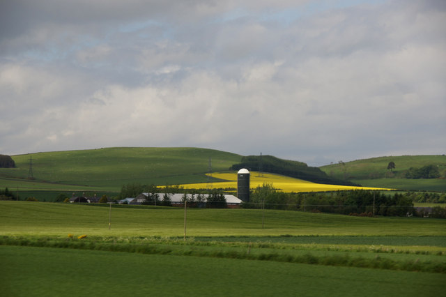
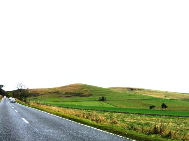
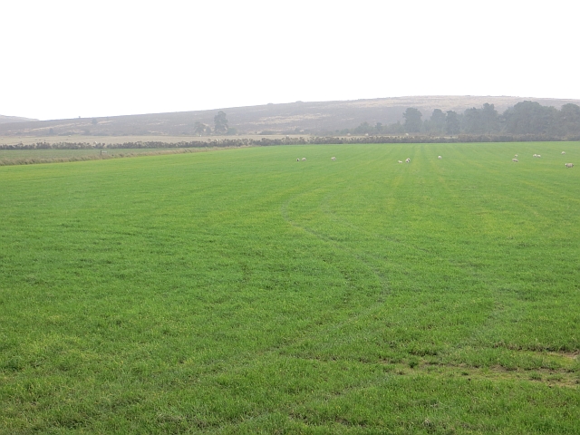
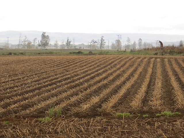
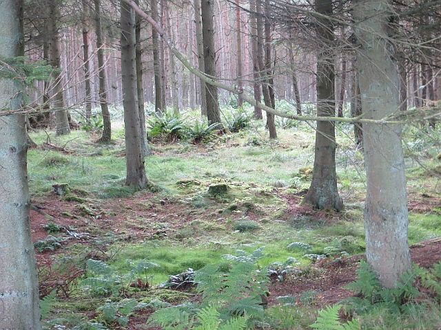
Lorance Hill offers panoramic views of the surrounding countryside, including the rolling hills and valleys of the Texas Hill Country. The hill is covered in a mix of native grasses, wildflowers, and oak trees, providing habitat for a variety of wildlife species.
Visitors to Lorance Hill can hike to the summit via a network of trails that wind through the rugged terrain. The hill is a popular destination for outdoor enthusiasts, offering opportunities for hiking, birdwatching, and photography.
Lorance Hill is also of historical significance, with evidence of Native American habitation dating back thousands of years. It is a designated archaeological site, and visitors are encouraged to respect and preserve its cultural heritage.
If you have any feedback on the listing, please let us know in the comments section below.
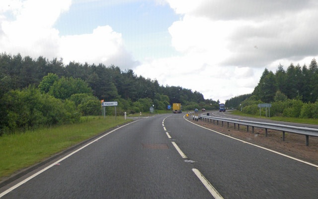
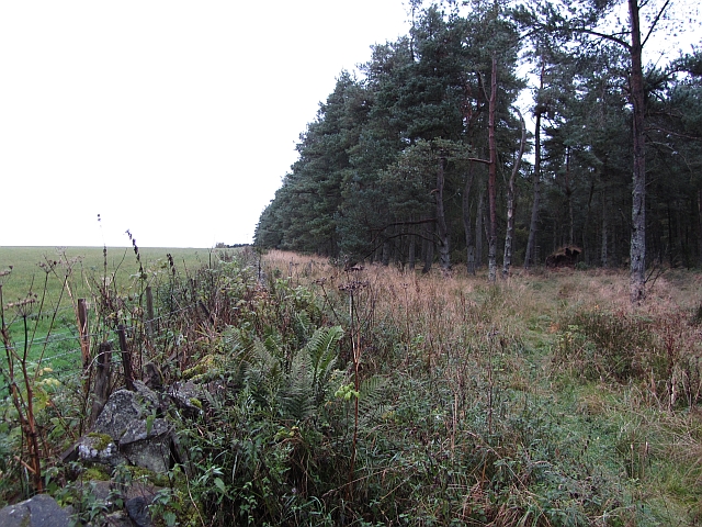
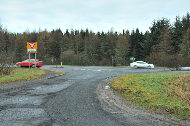
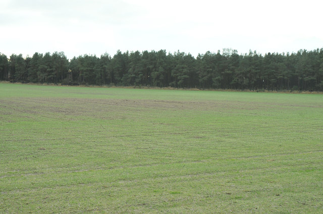
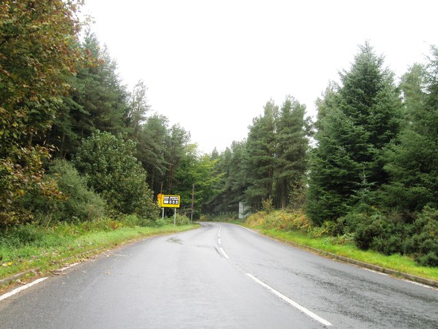
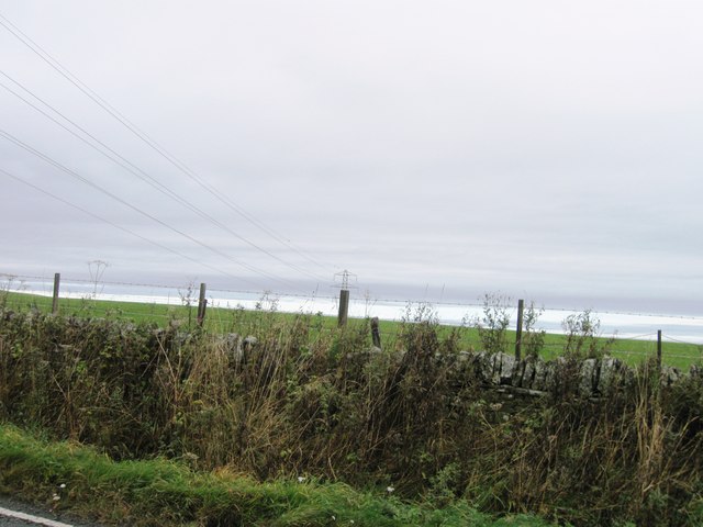
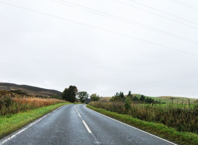
Lorance Hill Images
Images are sourced within 2km of 56.548426/-2.9380346 or Grid Reference NO4239. Thanks to Geograph Open Source API. All images are credited.


Lorance Hill is located at Grid Ref: NO4239 (Lat: 56.548426, Lng: -2.9380346)
Unitary Authority: Angus
Police Authority: Tayside
What 3 Words
///replied.connector.gossip. Near Dundee, Dundee City
Nearby Locations
Related Wikis

Tealing
Tealing (Scottish Gaelic: Tèalainn) is a village in Angus in eastern Scotland, nestled at the foot of the Sidlaw Hills. It is just 6 miles (9.7 km) north...

Gallowfauld
Gallowfauld is a hamlet in the county of Angus, Scotland. It lies 3.8 miles (6.1 km) south of Inverarity, Angus, Scotland. == References ==
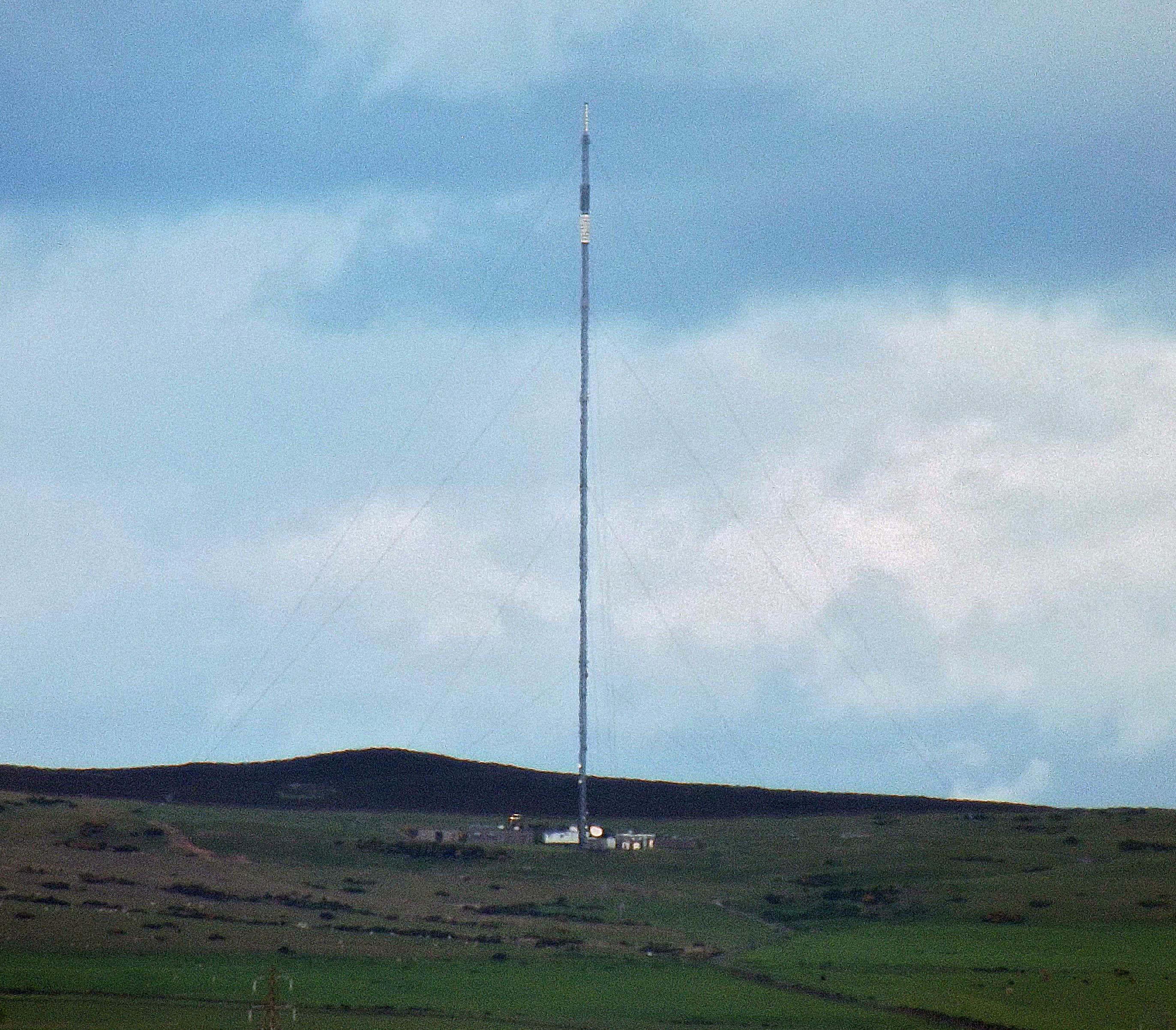
Angus transmitting station
The Angus transmitting station is a broadcasting and telecommunications facility, situated approximately five miles due north of Dundee, between the villages...

Inveraldie
Inveraldie is a village in Angus, Scotland. It lies on the north-bound side of the A90 road, two miles north of Dundee. == References ==
Nearby Amenities
Located within 500m of 56.548426,-2.9380346Have you been to Lorance Hill?
Leave your review of Lorance Hill below (or comments, questions and feedback).