Camp Hill
Hill, Mountain in Lancashire
England
Camp Hill

Camp Hill is a small village located in the county of Lancashire, England. Situated on a hill, it offers picturesque views of the surrounding countryside. Despite its name, Camp Hill is not actually a mountain but rather a modestly elevated area, providing a serene and tranquil atmosphere.
The village of Camp Hill is characterized by its charming rural setting, with rolling green fields, meandering streams, and idyllic woodlands. It is a popular destination for nature lovers and outdoor enthusiasts, offering ample opportunities for hiking, cycling, and exploring the countryside. The nearby hills provide stunning vantage points to enjoy panoramic views of the Lancashire landscape.
The village itself is relatively small, with a close-knit community and a handful of traditional cottages and houses. It is a tight-knit community with friendly locals who value the peace and quiet of their surroundings. The village also boasts a village hall, a local pub, and a primary school, catering to the needs of its residents.
Despite its rural setting, Camp Hill is conveniently located close to major towns and cities. The bustling market town of Clitheroe is just a short drive away, offering a range of amenities such as shops, restaurants, and leisure facilities. The city of Preston is also within easy reach, providing further opportunities for shopping, entertainment, and cultural experiences.
In summary, Camp Hill is a charming village nestled in the Lancashire countryside, offering a peaceful and scenic escape from the hustle and bustle of city life. With its stunning views, abundance of outdoor activities, and friendly community, it is a hidden gem for those seeking a tranquil retreat in the heart of England.
If you have any feedback on the listing, please let us know in the comments section below.
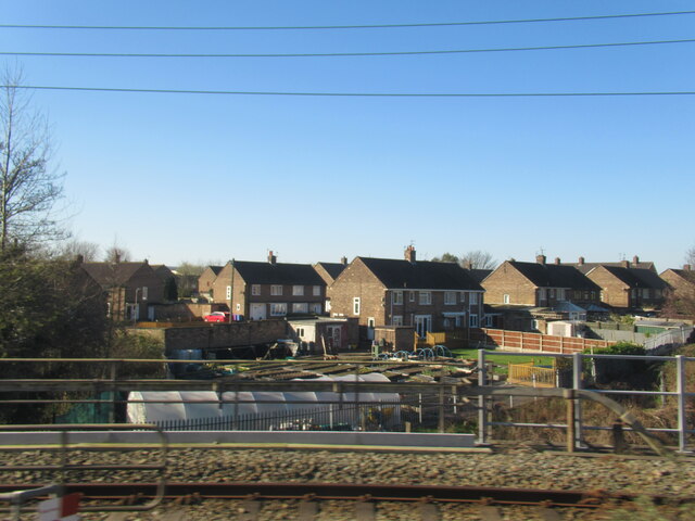
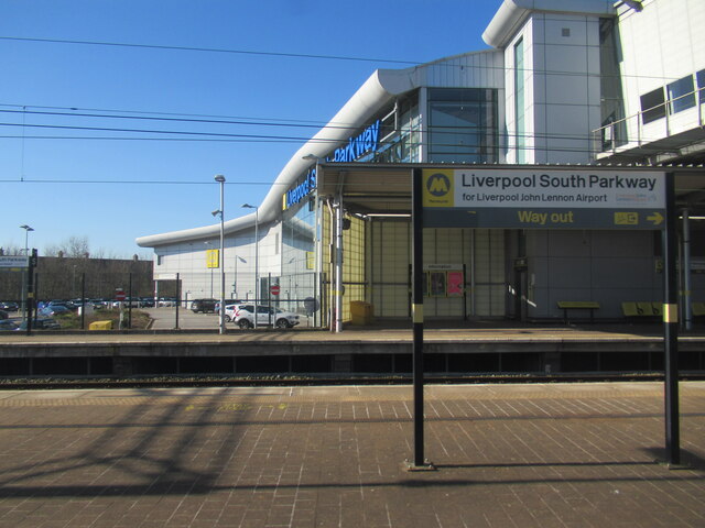
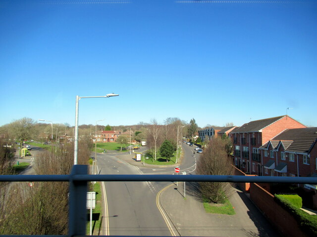
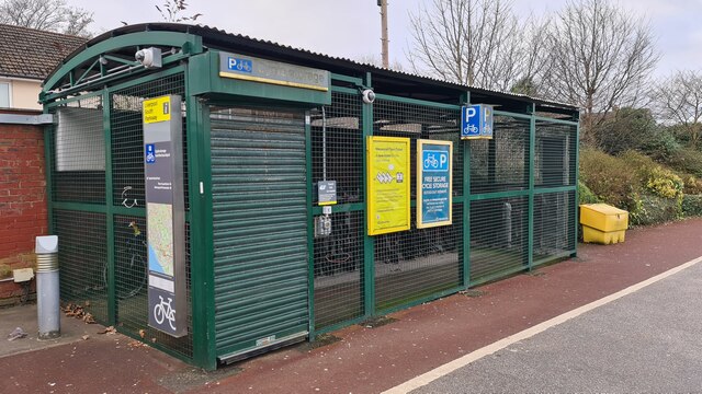
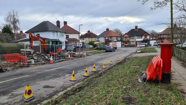
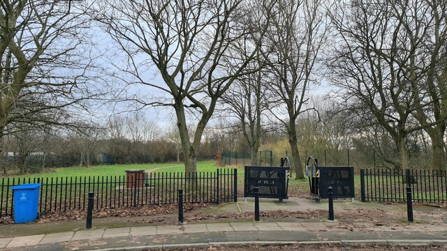
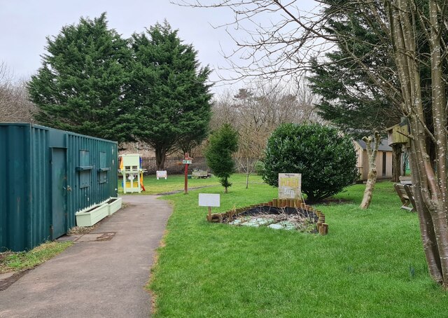
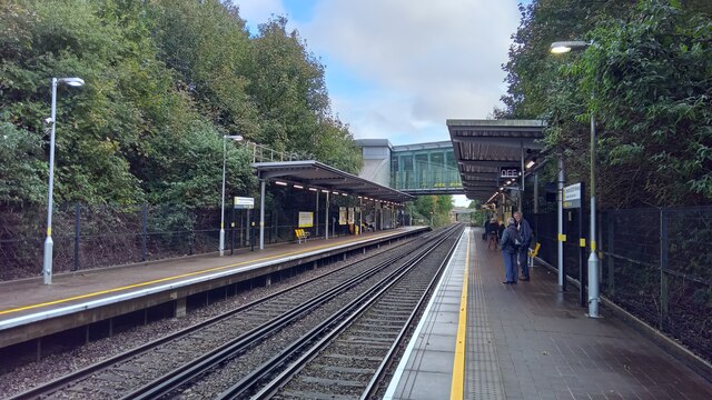
Camp Hill Images
Images are sourced within 2km of 53.368693/-2.8681646 or Grid Reference SJ4286. Thanks to Geograph Open Source API. All images are credited.


Camp Hill is located at Grid Ref: SJ4286 (Lat: 53.368693, Lng: -2.8681646)
Unitary Authority: Liverpool
Police Authority: Merseyside
What 3 Words
///songbird.reservoir.drivers. Near Huyton, Merseyside
Nearby Locations
Related Wikis
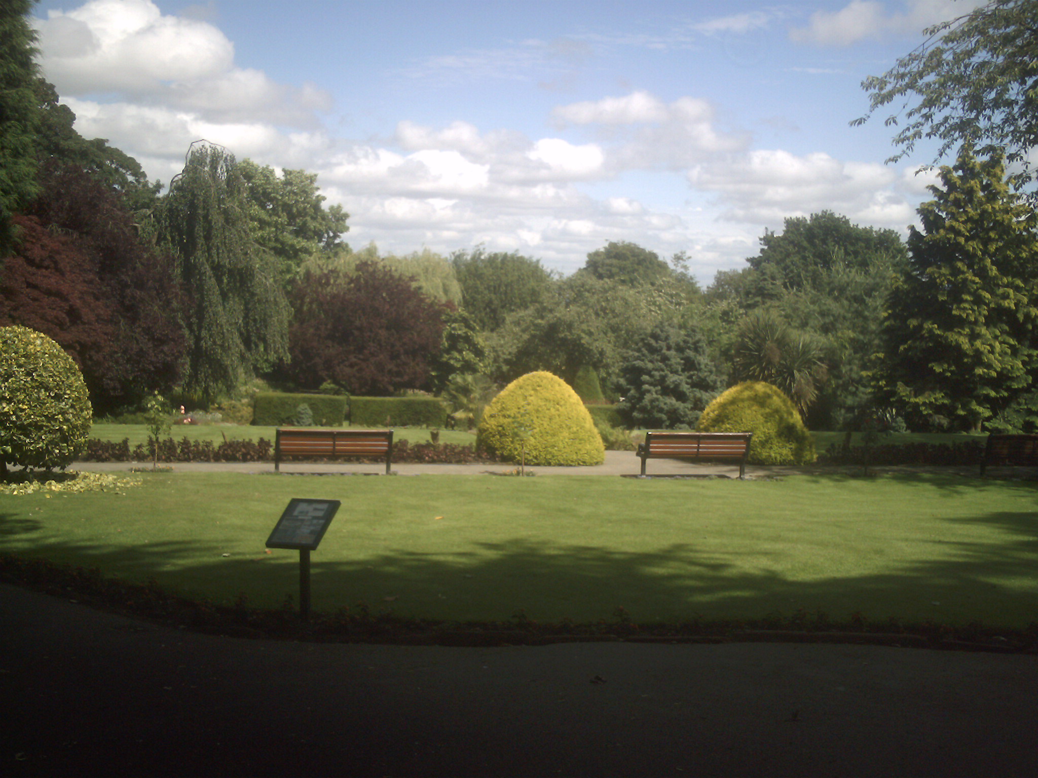
Woolton Woods and Camp Hill
Woolton Woods and Camp Hill is a wooded park in the Woolton suburb of Liverpool, England. == Overview == Woolton Woods and Camp Hill is adjacent to St...

Much Woolton Old School
Much Woolton Old School is a small Grade II* listed building on School Lane in Woolton, Liverpool, United Kingdom. An inscription on the building's exterior...
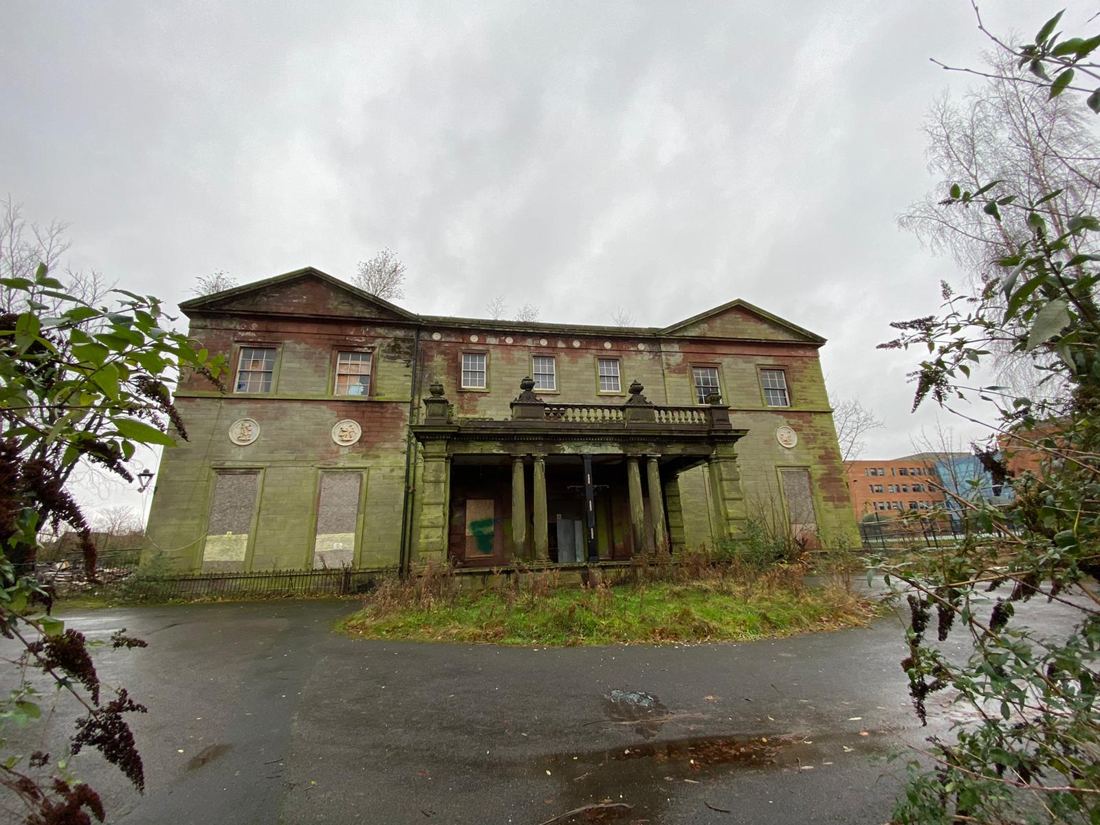
Woolton Hall
Woolton Hall is a former country house located in Woolton, a suburb of Liverpool, England. Built in 1704 and extensively renovated in 1772 by the influential...
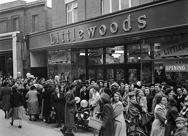
Littlewoods
Littlewoods was a retail and football betting company founded in Liverpool, England, by John Moores in 1923. By the 1980s, it had grown to become the largest...
Nearby Amenities
Located within 500m of 53.368693,-2.8681646Have you been to Camp Hill?
Leave your review of Camp Hill below (or comments, questions and feedback).