Bar Moor

Settlement in Durham

England

Bar Moor

Erosion of south bank of River Tyne By 3rd February 2021, 5 months after this photo was taken, there was a further landslip in this location leading to closure of the footpath and cycle route <a href="https://www.geograph.org.uk/photo/6995543">NZ1264 : Landslip on south bank of River Tyne</a>

"A section of the Keelman's Way, the popular walking and cycling route linking Wylam with Gateshead Quays, has had to be closed due to the imminent risk of the river bank collapsing.

The Keelman's Way, which follows the south bank of the River Tyne all the way from Wylam to Gateshead Quays, has had to be closed after large cracks and collapses of the river bank have affected the stability of the path.

The decision to close the footpath was taken in the interests of public safety and will mean that there will be no direct pedestrian or cycle access between Wylam railway station and Ryton for the foreseeable future.

Closure signs are now being erected and a diversion route is being devised, though this is likely to be lengthy.

Network Rail, whose main Newcastle-Carlisle rail line runs close to the footpath, has also been alerted.

Gateshead Council has been monitoring the erosion of the river bank east of Wylam railway station for some years since changes were observed in the flow of the River Tyne which were leading to increased erosion of the south bank of the river. The land on which the erosion is taking place - and on which the Keelman's Way runs -  is privately-owned.

Options for the long term future of the riverside path will now need to be examined."

<span class="nowrap"><a title="https://www.gateshead.gov.uk/article/17433/Keelman-Way-closed-at-Wylam-due-to-landslip" rel="nofollow ugc noopener" href="https://www.gateshead.gov.uk/article/17433/Keelman-Way-closed-at-Wylam-due-to-landslip">Link</a><img style="margin-left:2px;" alt="External link" title="External link - shift click to open in new window" src="https://s1.geograph.org.uk/img/external.png" width="10" height="10"/></span>
Erosion of south bank of River Tyne Credit: Andrew Curtis

Bar Moor is a small village located in the county of Durham, England. Situated approximately five miles to the west of Durham city, the village is nestled in a picturesque rural setting. With a population of around 500 residents, Bar Moor offers a peaceful and close-knit community atmosphere.

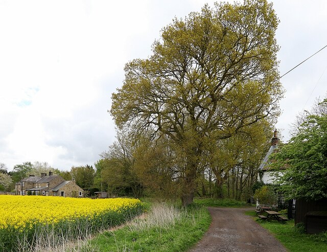
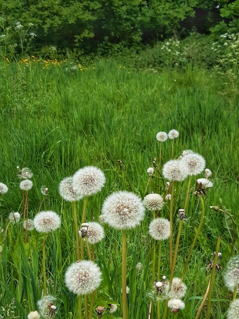
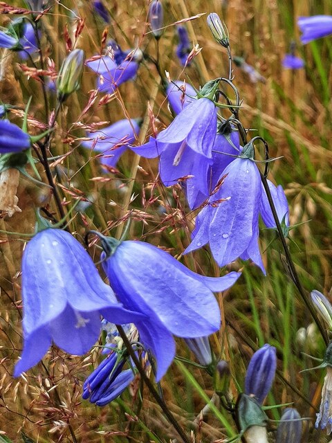
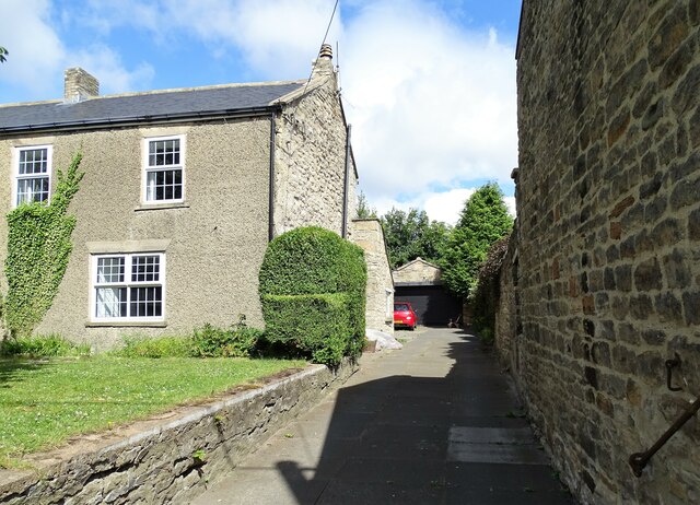
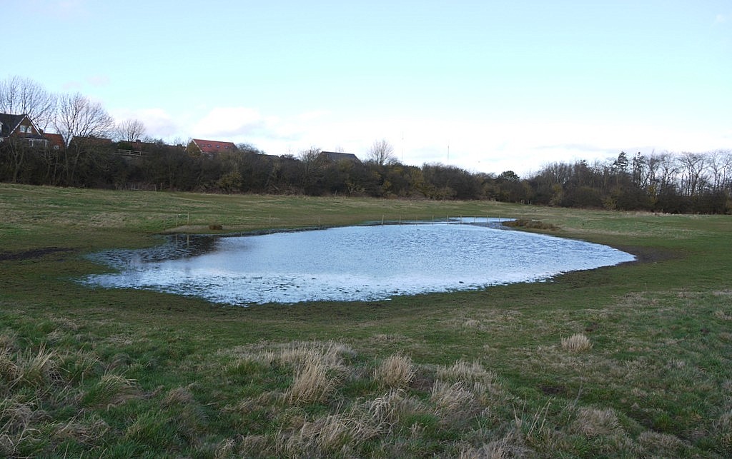
The village is known for its stunning natural beauty, surrounded by rolling hills and lush green countryside. It provides an ideal location for those seeking a tranquil lifestyle away from the hustle and bustle of city living. The nearby Bar Moor Farm offers visitors the opportunity to experience rural life and witness traditional farming practices.

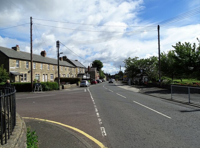
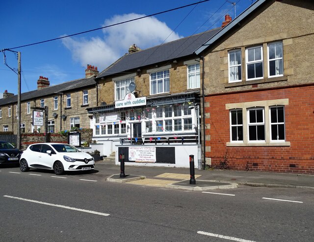
Although small in size, Bar Moor boasts a number of amenities to cater to the needs of its residents. These include a local primary school, a village hall, and a cozy pub where locals can gather for a drink and a meal. The village also benefits from good transport links, allowing for easy access to Durham city and other nearby towns.

For those seeking recreational activities, Bar Moor is surrounded by beautiful walking and cycling routes. The village is also within close proximity to the historic city of Durham, known for its stunning cathedral and castle, which offer a range of cultural and leisure activities for residents to enjoy.

Overall, Bar Moor is a charming and idyllic village that attracts those who appreciate the tranquility of rural living while still enjoying easy access to nearby amenities and the vibrant city of Durham.

If you have any feedback on the listing, please let us know in the comments section below.
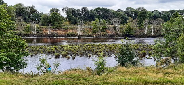
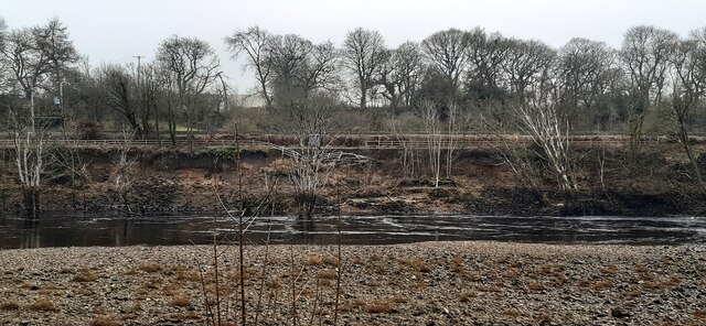
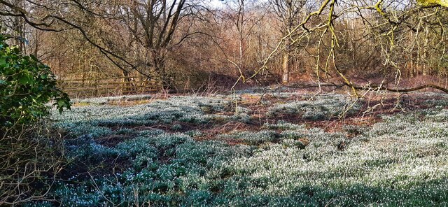
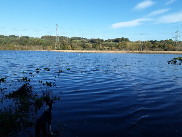
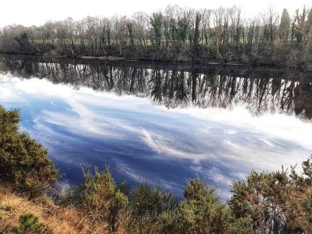
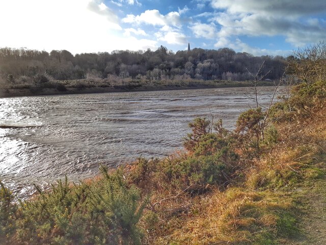
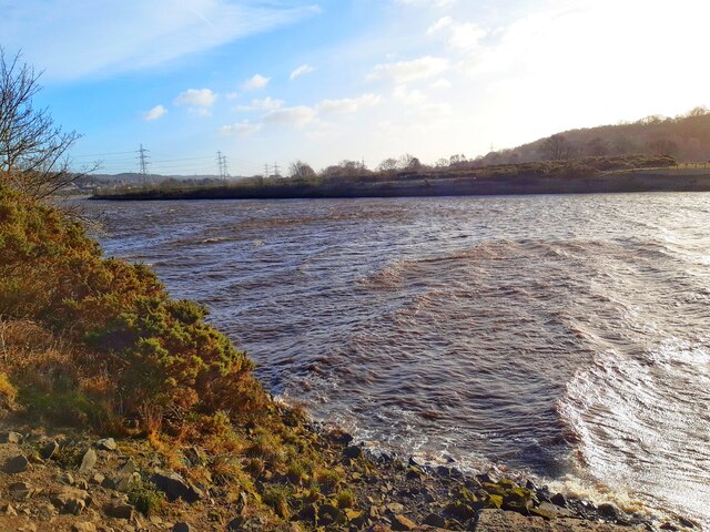
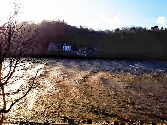
Bar Moor Images

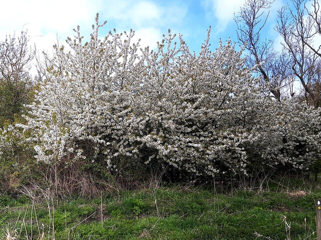
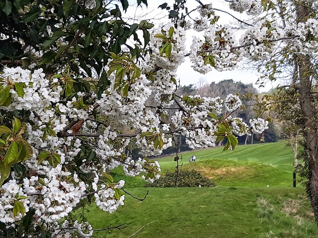
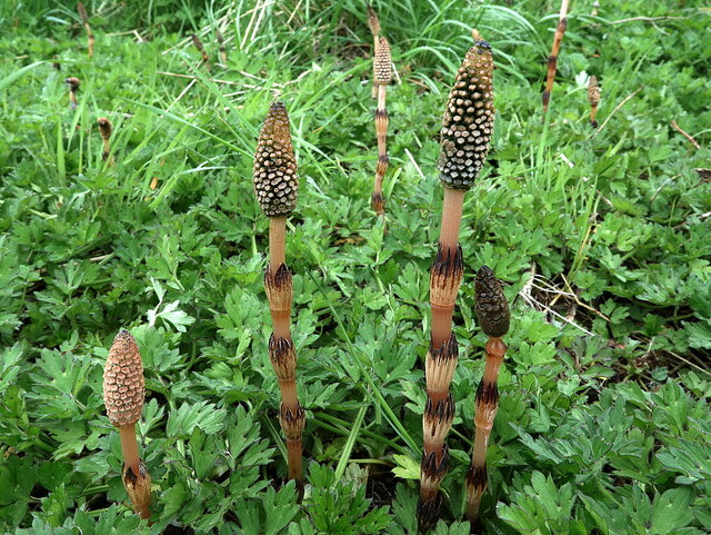
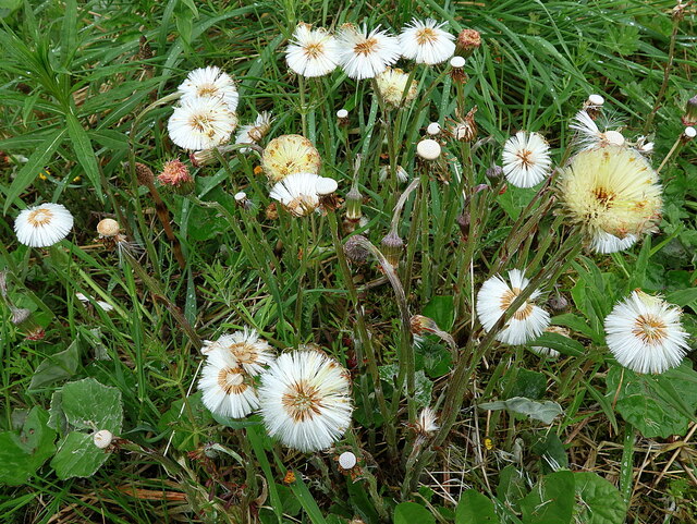
Images are sourced within 2km of 54.970891/-1.779706 or Grid Reference NZ1464. Thanks to Geograph Open Source API. All images are credited.

Erosion of south bank of River Tyne By 3rd February 2021, 5 months after this photo was taken, there was a further landslip in this location leading to closure of the footpath and cycle route <a href="https://www.geograph.org.uk/photo/6995543">NZ1264 : Landslip on south bank of River Tyne</a>

"A section of the Keelman's Way, the popular walking and cycling route linking Wylam with Gateshead Quays, has had to be closed due to the imminent risk of the river bank collapsing.

The Keelman's Way, which follows the south bank of the River Tyne all the way from Wylam to Gateshead Quays, has had to be closed after large cracks and collapses of the river bank have affected the stability of the path.

The decision to close the footpath was taken in the interests of public safety and will mean that there will be no direct pedestrian or cycle access between Wylam railway station and Ryton for the foreseeable future.

Closure signs are now being erected and a diversion route is being devised, though this is likely to be lengthy.

Network Rail, whose main Newcastle-Carlisle rail line runs close to the footpath, has also been alerted.

Gateshead Council has been monitoring the erosion of the river bank east of Wylam railway station for some years since changes were observed in the flow of the River Tyne which were leading to increased erosion of the south bank of the river. The land on which the erosion is taking place - and on which the Keelman's Way runs -  is privately-owned.

Options for the long term future of the riverside path will now need to be examined."

<span class="nowrap"><a title="https://www.gateshead.gov.uk/article/17433/Keelman-Way-closed-at-Wylam-due-to-landslip" rel="nofollow ugc noopener" href="https://www.gateshead.gov.uk/article/17433/Keelman-Way-closed-at-Wylam-due-to-landslip">Link</a><img style="margin-left:2px;" alt="External link" title="External link - shift click to open in new window" src="https://s1.geograph.org.uk/img/external.png" width="10" height="10"/></span>
Erosion of south bank of River Tyne
By 3rd February 2021, 5 months after this photo was taken, there was a further landslip in this location leading to closure of the footpath and cycle route NZ1264 : Landslip on south bank of River Tyne "A section of the Keelman's Way, the popular walking and cycling route linking Wylam with Gateshead Quays, has had to be closed due to the imminent risk of the river bank collapsing. The Keelman's Way, which follows the south bank of the River Tyne all the way from Wylam to Gateshead Quays, has had to be closed after large cracks and collapses of the river bank have affected the stability of the path. The decision to close the footpath was taken in the interests of public safety and will mean that there will be no direct pedestrian or cycle access between Wylam railway station and Ryton for the foreseeable future. Closure signs are now being erected and a diversion route is being devised, though this is likely to be lengthy. Network Rail, whose main Newcastle-Carlisle rail line runs close to the footpath, has also been alerted. Gateshead Council has been monitoring the erosion of the river bank east of Wylam railway station for some years since changes were observed in the flow of the River Tyne which were leading to increased erosion of the south bank of the river. The land on which the erosion is taking place - and on which the Keelman's Way runs -  is privately-owned. Options for the long term future of the riverside path will now need to be examined." LinkExternal link
Landslip on south bank of River Tyne See description on earlier photo <a href="https://www.geograph.org.uk/photo/6991732">NZ1264 : Erosion of south bank of River Tyne</a>

This photo, taken shortly after the landslip that resulted in closure of the Keelman's Way, shows the collapse of a section of the fence erected for safety. In this section the path occupies a narrow space between the river cliff and the Newcastle-Carlisle railway line.
Landslip on south bank of River Tyne
See description on earlier photo NZ1264 : Erosion of south bank of River Tyne This photo, taken shortly after the landslip that resulted in closure of the Keelman's Way, shows the collapse of a section of the fence erected for safety. In this section the path occupies a narrow space between the river cliff and the Newcastle-Carlisle railway line.
Carpet of snowdrops on old colliery site off Station Road
Flooded farmland east of Heddon Haughs
The sky flows down to the sea Still water at high tide in the River Tyne with the wintery blue sky and wispy clouds reflected in the deep dark water. The photo could be upside down if it wasn't for the gorse bushes on the nearby bank.
The sky flows down to the sea
Still water at high tide in the River Tyne with the wintery blue sky and wispy clouds reflected in the deep dark water. The photo could be upside down if it wasn't for the gorse bushes on the nearby bank.
Storm Malik stirs up waters of Tyne
Flowering cherry, Close House Golf Course Just a common Wild Cherry (Prunus avium) <a href="https://www.geograph.org.uk/photo/7153286">NZ1365 : Flowering cherry, Close House Golf Course</a> but with slightly larger fruit than many of the others found locally. If you can beat the birds to pick the lower hanging fruit they make a tasty snack and in some years even a small pot of jam.
Flowering cherry, Close House Golf Course
Just a common Wild Cherry (Prunus avium) NZ1365 : Flowering cherry, Close House Golf Course but with slightly larger fruit than many of the others found locally. If you can beat the birds to pick the lower hanging fruit they make a tasty snack and in some years even a small pot of jam.
Flowering cherry, Close House Golf Course
Great Horsetail (Equisetum telmateia) The fertile stems are brown and without branches (unlike the sterile stems which can be branched and are bright-green with nearly white internodes). The stems later become light-green and have regularly-spaced sections separated with brown/black whorls, the toothed sheaths. On the tops are the cones covered in small flat-topped short projections which bear the spores.
<span class="nowrap"><a title="https://wildflowerfinder.org.uk/Flowers/H/Horsetail(Great)/Horsetail(Great).htm" rel="nofollow ugc noopener" href="https://wildflowerfinder.org.uk/Flowers/H/Horsetail(Great)/Horsetail(Great).htm">Link</a><img style="margin-left:2px;" alt="External link" title="External link - shift click to open in new window" src="https://s1.geograph.org.uk/img/external.png" width="10" height="10"/></span> <span class="nowrap"><a title="https://web.archive.org/web/20210815034740/https://wildflowerfinder.org.uk/Flowers/H/Horsetail(Great)/Horsetail(Great).htm" rel="nofollow ugc noopener" href="https://web.archive.org/web/20210815034740/https://wildflowerfinder.org.uk/Flowers/H/Horsetail(Great)/Horsetail(Great).htm">Archive Link</a><img style="margin-left:2px;" alt="External link" title="External link - shift click to open in new window" src="https://s1.geograph.org.uk/img/external.png" width="10" height="10"/></span>
Great Horsetail (Equisetum telmateia)
The fertile stems are brown and without branches (unlike the sterile stems which can be branched and are bright-green with nearly white internodes). The stems later become light-green and have regularly-spaced sections separated with brown/black whorls, the toothed sheaths. On the tops are the cones covered in small flat-topped short projections which bear the spores. LinkExternal link Archive LinkExternal link
Colt's Foot (Tussilago farfara)
Oak tree at rear of George Stephenson's Cottage See description here: <a href="https://www.geograph.org.uk/photo/3446387">NZ1264 : George Stephenson's Cottage from the rear</a>
Oak tree at rear of George Stephenson's Cottage
Dandelion 'clocks', Tyne riverside
Harebell (Campanula rotundifolia), Tyne Riverside
Greenside village centre At the junction of Rockwood Hill Road, on the left, with Lead Road, the main street through the village.
Greenside village centre
At the junction of Rockwood Hill Road, on the left, with Lead Road, the main street through the village.
Nursery school, Greenside On Lead Road, in the centre of the village.
Nursery school, Greenside
On Lead Road, in the centre of the village.
Old houses on Lead Road On the front street in Greenside village. From old maps, these buildings date back to the early Victorian period, to when Greenside was just a small agricultural settlement.
Old houses on Lead Road
On the front street in Greenside village. From old maps, these buildings date back to the early Victorian period, to when Greenside was just a small agricultural settlement.
Show me another place!

Bar Moor is located at Grid Ref: NZ1464 (Lat: 54.970891, Lng: -1.779706)

Unitary Authority: Gateshead

Police Authority: Northumbria

What 3 Words

///decent.defeat.holly. Near Wylam, Northumberland

Related Wikis

Crawcrook

Crawcrook is a semi-rural village close to the western border of the metropolitan county of Tyne and Wear in England. Traditionally an independent village...

Ryton & Crawcrook Albion F.C.

Ryton & Crawcrook Albion Football Club is a semi-professional English non-league football club from Crawcrook, near Ryton, Newcastle upon Tyne, in Tyne...

Ryton Woodside

Ryton Woodside is a hamlet south of Ryton, in the Gateshead district, in the county of Tyne and Wear, England. It is near the A659 road. Ryton Woodside...

Ryton, Tyne and Wear

Ryton is a village in Tyne and Wear, England. It is in the Metropolitan Borough of Gateshead, formerly governed under the county of Durham. In 2011, the...

Clara Vale

Clara Vale is a village situated on the south bank of the River Tyne in Tyne and Wear, England. Once an independent village in County Durham it became...

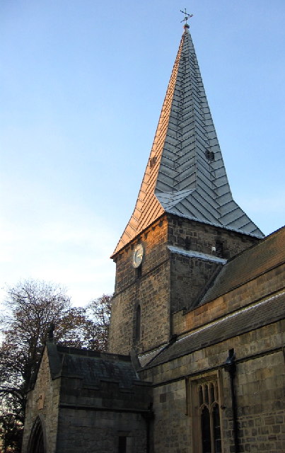
Holy Cross Church, Ryton

Holy Cross Church is a Church of England parish church in Ryton, Tyne and Wear. The church is a Grade I listed building. == History == The Holy Cross church...

Ryton railway station

Ryton railway station was a station in Ryton, Tyne and Wear, England. This large village is situated to the south of the River Tyne, at an elevation of...

Heddon-on-the-Wall railway station

Heddon-on-the-Wall railway station served the village of Heddon-on-the-Wall, Northumberland, England from 1881 to 1958. == History == The station opened...

Nearby Amenities

Located within 500m of 54.970891,-1.779706
Traffic Calming: cushion
Lat/Long: 54.9696851/-1.778222
Traffic Calming: cushion
Lat/Long: 54.9700092/-1.7775806
Turning Circle
Lat/Long: 54.9688951/-1.7857449
Turning Circle
Lat/Long: 54.9696142/-1.7865307
Post Box
Ref: NE40 12
Lat/Long: 54.9697901/-1.7781318
Ryton Grange
Place: locality
Lat/Long: 54.97393/-1.7744936
Bus Stop
RYTON COMPREHENSIVE SCHOOL
Local Ref: S
Naptan AtcoCode: 410000000100
Naptan Bearing: S
Naptan CommonName: RYTON COMPREHENSIVE SCHOOL
Naptan Indicator: S
Naptan Landmark: OUTSIDE RYTON COMPREHENSIVE SCHOOL
Naptan NaptanCode: twrgtpjd
Naptan Street: MAIN ROAD
Naptan Verified: no
Source: naptan_import
Lat/Long: 54.9718273/-1.7740314
Bus Stop
Ryton Schools
Bench: no
Bin: yes
Bus: yes
Departures Board: timetable
Lit: yes
Local Ref: W
Naptan AtcoCode: 410000012002
Naptan Bearing: SW
Naptan Indicator: SW-Bound
Naptan Landmark: Opposite Ryton Comprehensive School
Naptan NaptanCode: twratjwj
Naptan Street: Main Road
Naptan Verified: yes
Passenger Information Display: no
Public Transport: platform
Shelter: yes
Source: naptan_import
Tactile Paving: no
Lat/Long: 54.9718378/-1.7734379
Bus Stop
MAIN ROAD-BARMOOR TERRACE-SW/B
Local Ref: SW
Naptan AtcoCode: 410000012003
Naptan Bearing: SW
Naptan CommonName: MAIN ROAD-BARMOOR TERRACE-SW/B
Naptan Indicator: SW
Naptan Landmark: OPPOSITE NO 10 BARMOOR TERRACE
Naptan NaptanCode: twrgwpdg
Naptan Street: MAIN ROAD
Naptan Verified: no
Source: naptan_import
Lat/Long: 54.9705586/-1.776585
Bus Stop
Main Street
Bench: yes
Bin: yes
Bus: yes
Departures Board: timetable
Local Ref: SW
Naptan AtcoCode: 410000012004
Naptan Bearing: SW
Naptan Indicator: SW-Bound
Naptan Landmark: Outside Robert Young Memorial Methodist Church
Naptan NaptanCode: twratjwm
Naptan Street: Main Street
Naptan Verified: no
Official Name: Main Street-Meadow Lane
Passenger Information Display: no
Public Transport: platform
Shelter: yes
Source: naptan_import
Lat/Long: 54.9686344/-1.7824896
Bus Stop
MAIN STREET-EMMAVILLE-E/B
Local Ref: E
Naptan AtcoCode: 410000012022
Naptan Bearing: E
Naptan CommonName: MAIN STREET-EMMAVILLE-E/B
Naptan Indicator: E
Naptan Landmark: OUTSIDE EMMA MEMORIAL HOME
Naptan NaptanCode: twratmdw
Naptan Street: MAIN STREET
Naptan Verified: no
Source: naptan_import
Lat/Long: 54.9687716/-1.7822808
Bus Stop
Main Road-Barmoor Terrace
Bus: yes
Local Ref: NE
Naptan AtcoCode: 410000012023
Naptan Bearing: NE
Naptan Indicator: NE-Bound
Naptan Landmark: Outside No 11 Barmoor Terrace
Naptan NaptanCode: twrgwpda
Naptan Street: Main Road
Naptan Verified: no
Public Transport: platform
Source: naptan_import
Lat/Long: 54.9706865/-1.776606
Bus Stop
MAIN ROAD-BARMOOR LANE-NE/B
Local Ref: NE
Naptan AtcoCode: 410000012024
Naptan Bearing: NE
Naptan CommonName: MAIN ROAD-BARMOOR LANE-NE/B
Naptan Indicator: NE
Naptan Landmark: OUTSIDE RYTON COMPREHENSIVE SCHOOL
Naptan NaptanCode: twratmga
Naptan Street: MAIN ROAD
Naptan Verified: no
Source: naptan_import
Lat/Long: 54.9718709/-1.7739377
Bus Stop
BARMOOR LANE-MAIN ROAD-N/B
Local Ref: N
Naptan AtcoCode: 410000012027
Naptan Bearing: N
Naptan CommonName: BARMOOR LANE-MAIN ROAD-N/B
Naptan Indicator: N
Naptan Landmark: EAST OF RYTON COMPREHENSIVE SCHOOL
Naptan NaptanCode: twratmgm
Naptan Street: BARMOOR LANE
Naptan Verified: no
Source: naptan_import
Lat/Long: 54.9723307/-1.7730091
Crossing
Crossing: uncontrolled
Lat/Long: 54.9726976/-1.7738514
Entrance: yes
Lat/Long: 54.9689884/-1.7788794
Lads N Dads
Addr City: Crawcrook
Addr Street: Main Street
Shop: hairdresser
Lat/Long: 54.9684022/-1.7838984
Post Box
Brand: Royal Mail
Brand Wikidata: Q638098
Drive Through: no
Operator: Royal Mail
Operator Wikidata: Q638098
Post Box Type: wall
Ref: NE40 110
Lat/Long: 54.9683806/-1.7838179
Recycling
Lat/Long: 54.9695687/-1.7764393
Post Box
Post Box Type: lamp
Ref: NE40 491
Lat/Long: 54.9713018/-1.7727836
Rosarama
Addr City: Crawcrook
Addr Street: Main Street
Phone: +44 191 4139111
Shop: craft
Website: https://www.rosarama.co.uk/
Lat/Long: 54.9679469/-1.7847522
Pets & Poultry
Addr City: Crawcrook
Addr Street: Main Street
Shop: pet
Lat/Long: 54.9680839/-1.7844948
G 'n' M Hair Studio
Addr City: Crawcrook
Addr Postcode: NE40 4LZ
Addr Street: Main Street
Phone: +44 191 413 1155
Shop: hairdresser
Lat/Long: 54.9681255/-1.7844411
Dentist
Crawcrook Dental Practice
Addr City: Crawcrook
Addr Street: Main Street
Lat/Long: 54.968321/-1.7840629
Cafe
The Perfect Blend
Addr City: Crawcrook
Addr Postcode: NE40 4LZ
Addr Street: Main Street
Phone: +44 191 413 1000
Website: www.enjoytheperfectblend.co.uk
Lat/Long: 54.9683657/-1.7839664
LDM Building & Maintenance Services
Addr City: Crawcrook
Addr Street: Main Road
Phone: +44 7860 470 747
Shop: yes
Lat/Long: 54.9686929/-1.7829094
Alysons
Addr City: Crawcrook
Addr Street: Main Street
Phone: +44 191 413 4426
Shop: hairdresser
Lat/Long: 54.9687127/-1.7828464
Elementary Pilates
Addr City: Ryton
Addr Street: Main Road
Leisure: fitness_centre
Sport: pilates
Website: www.elimentarypilates.co.uk
Lat/Long: 54.9706884/-1.7768324
Sweet Surprise
Addr City: Ryton
Addr Street: Main Road
Shop: confectionery
Lat/Long: 54.9707348/-1.7767799
Summer House Beauty
Addr City: Ryton
Addr Street: Main Road
Shop: beauty
Lat/Long: 54.9708058/-1.7766516
Cafe
Conservatory Cafe
Addr City: Crawcrook
Addr Street: Main Road
Lat/Long: 54.9684868/-1.7826264
Traffic Calming: cushion
Lat/Long: 54.9717406/-1.7740445
Traffic Calming: cushion
Lat/Long: 54.9720586/-1.7727277
Entrance: yes
Lat/Long: 54.9731134/-1.7756785
Entrance: yes
Lat/Long: 54.9733575/-1.7757388
Entrance: yes
Lat/Long: 54.9733038/-1.7750381
Entrance: yes
Lat/Long: 54.973269/-1.7750958
Noexit: yes
Lat/Long: 54.9722738/-1.7733881
Noexit: yes
Lat/Long: 54.9722604/-1.7734424
Entrance: yes
Lat/Long: 54.9724763/-1.773844
Entrance: yes
Lat/Long: 54.9724549/-1.7741329
Entrance: yes
Lat/Long: 54.972541/-1.7742436
Entrance: yes
Lat/Long: 54.9725741/-1.774426
Entrance: yes
Lat/Long: 54.9723886/-1.7747981
Entrance: yes
Lat/Long: 54.9724105/-1.7751523
Entrance: yes
Lat/Long: 54.9725133/-1.7750756
Entrance: yes
Lat/Long: 54.9725225/-1.7750079
Entrance: yes
Lat/Long: 54.9732403/-1.7741985
Entrance: yes
Lat/Long: 54.9732316/-1.7744371
Entrance: yes
Lat/Long: 54.9732003/-1.7746664
Entrance: yes
Lat/Long: 54.973185/-1.7747789
Entrance: yes
Lat/Long: 54.973171/-1.7748819
Entrance: yes
Lat/Long: 54.9731524/-1.7750183
Entrance: yes
Lat/Long: 54.9731557/-1.7749938
Entrance: yes
Lat/Long: 54.9729245/-1.7752247
Crossing
Crossing: uncontrolled
Lat/Long: 54.9718067/-1.7748095
Entrance: main
Lat/Long: 54.9723386/-1.7741258
Barrier: lift_gate
Direction: backward
Lift Gate Type: single
Lat/Long: 54.9717771/-1.7748358
Barrier: lift_gate
Direction: forward
Lift Gate Type: single
Lat/Long: 54.971836/-1.7747834
Crossing
Crossing: uncontrolled
Lat/Long: 54.973166/-1.7738253
Generator Method: photovoltaic
Generator Source: solar
Generator Type: solar_photovoltaic_panel
Location: roof
Power: generator
Lat/Long: 54.971944/-1.7722575
Traffic Signals
Traffic Signals: pedestrian_crossing
Lat/Long: 54.9703814/-1.7769752
Waste Basket
Lat/Long: 54.9702312/-1.7724118
Generator Method: photovoltaic
Generator Output Electricity: small_installation
Generator Source: solar
Generator Type: solar_photovoltaic_panel
Location: roof
Power: generator
Lat/Long: 54.9676362/-1.7807025
Generator Method: photovoltaic
Generator Output Electricity: small_installation
Generator Source: solar
Generator Type: solar_photovoltaic_panel
Location: roof
Power: generator
Lat/Long: 54.9674252/-1.7811102
Generator Method: photovoltaic
Generator Output Electricity: small_installation
Generator Source: solar
Generator Type: solar_photovoltaic_panel
Location: roof
Power: generator
Lat/Long: 54.9667401/-1.7813998
Generator Method: photovoltaic
Generator Output Electricity: small_installation
Generator Source: solar
Generator Type: solar_photovoltaic_panel
Location: roof
Power: generator
Lat/Long: 54.9668201/-1.7810136
Generator Method: photovoltaic
Generator Output Electricity: small_installation
Generator Source: solar
Generator Type: solar_photovoltaic_panel
Location: roof
Power: generator
Lat/Long: 54.9668509/-1.7801768
Generator Method: photovoltaic
Generator Output Electricity: small_installation
Generator Source: solar
Generator Type: solar_photovoltaic_panel
Location: roof
Power: generator
Lat/Long: 54.9668755/-1.7795116
Aiki Martial Arts & Fitness
Leisure: fitness_centre
Sport: martial_arts
Lat/Long: 54.9707216/-1.7769608
Lowther Funeral Services
Shop: funeral_directors
Lat/Long: 54.9707709/-1.7767221
Generator Method: photovoltaic
Generator Output Electricity: small_installation
Generator Source: solar
Generator Type: solar_photovoltaic_panel
Location: roof
Power: generator
Lat/Long: 54.968968/-1.7805952
Cafe
The Red Teacup
Lat/Long: 54.9707106/-1.7768056
The data included in this document is from www.openstreetmap.org. The data is made available under ODbL.

Have you been to Bar Moor?

Leave your review of Bar Moor below (or comments, questions and feedback).