Crookston South Mains Hill

Hill, Mountain in Midlothian

Scotland

Crookston South Mains Hill

Borders Railway, Heriot The 1745 from Tweedbank to Edinburgh Waverley approaches the site of Heriot Station on the day passenger services resumed on the northern third of the Waverley Line. As soon as I took this, I put down my camera and clapped. Looking forward to travelling on the line soon, but don't expect shots from the train!
Borders Railway, Heriot Credit: Richard Webb

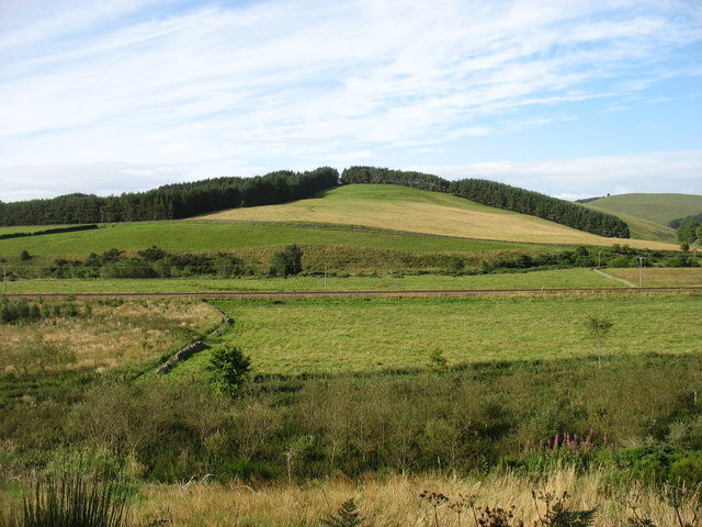
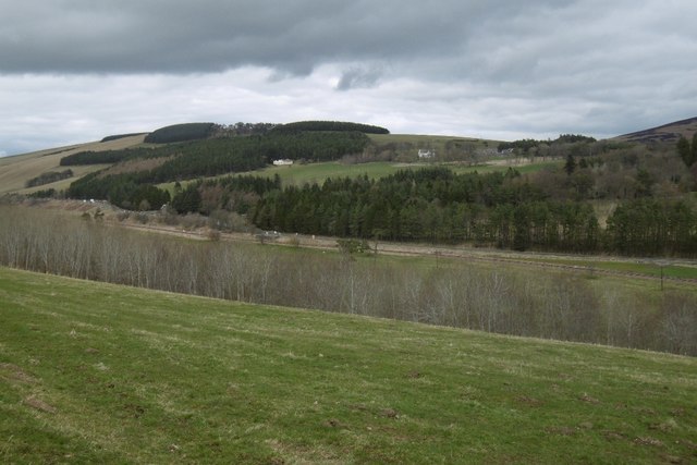
Crookston South Mains Hill is a prominent natural feature located in Midlothian, Scotland. It is classified as a hill rather than a mountain, with an elevation of approximately 365 meters (1,200 feet). The hill is part of the picturesque Pentland Hills range, which stretches across the southern outskirts of Edinburgh.

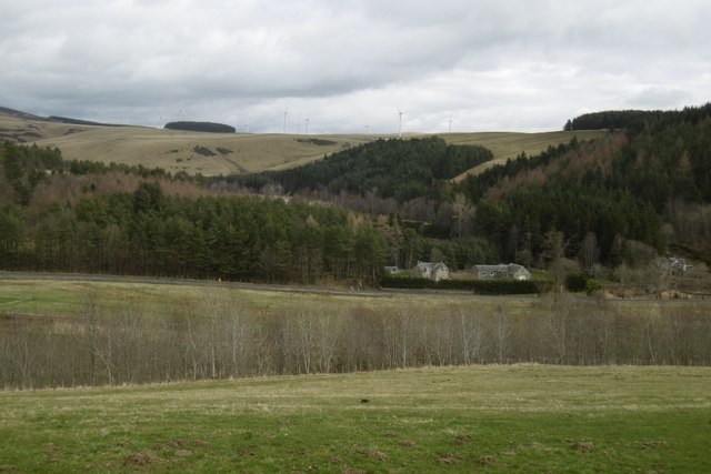
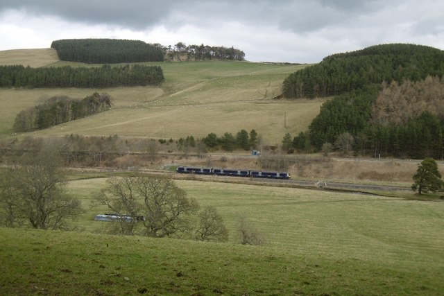
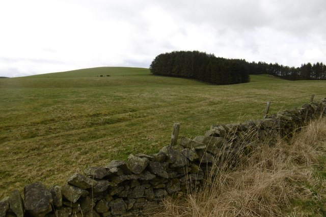
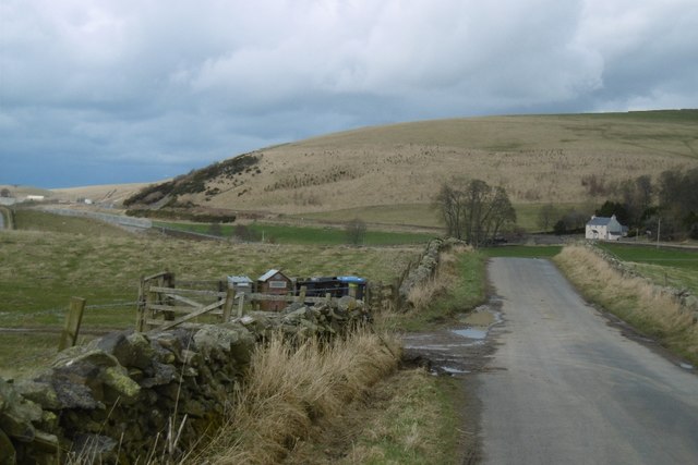
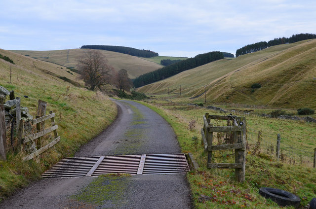
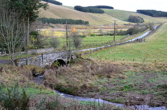
Crookston South Mains Hill offers breathtaking panoramic views of the surrounding countryside, including the beautiful Midlothian landscape and the distant Edinburgh skyline. Its location within the Pentland Hills Regional Park makes it a popular destination for outdoor enthusiasts, hikers, and nature lovers.

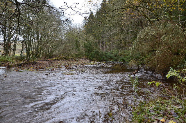
The hill is characterized by its rolling slopes, covered in a patchwork of heather, grasses, and scattered trees. The area is home to a diverse range of flora and fauna, making it an important habitat for wildlife. Visitors to the hill may spot various bird species, such as kestrels, buzzards, and pheasants, as well as rabbits, hares, and deer.

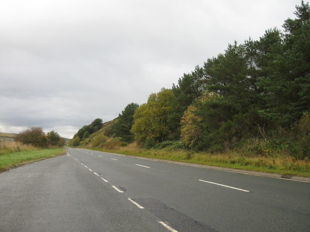
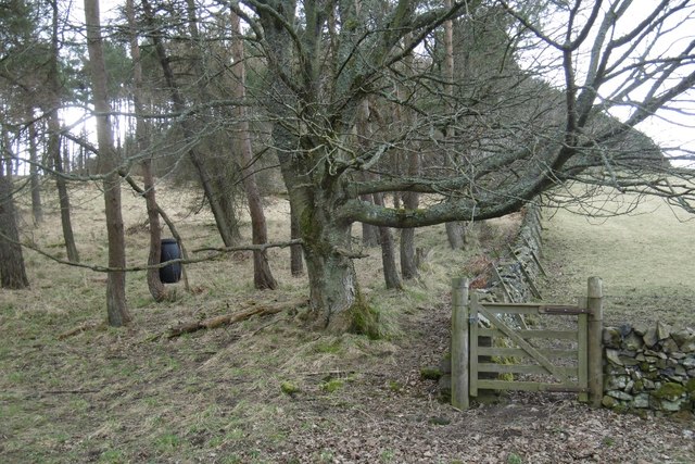
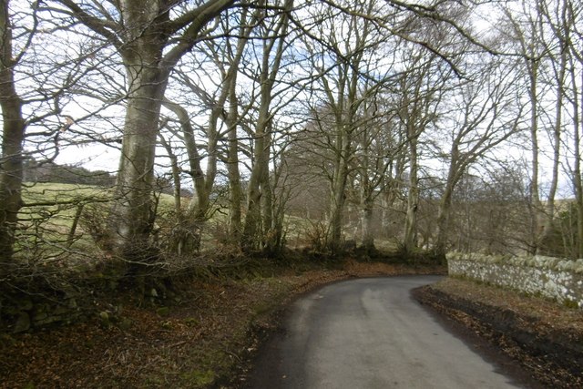
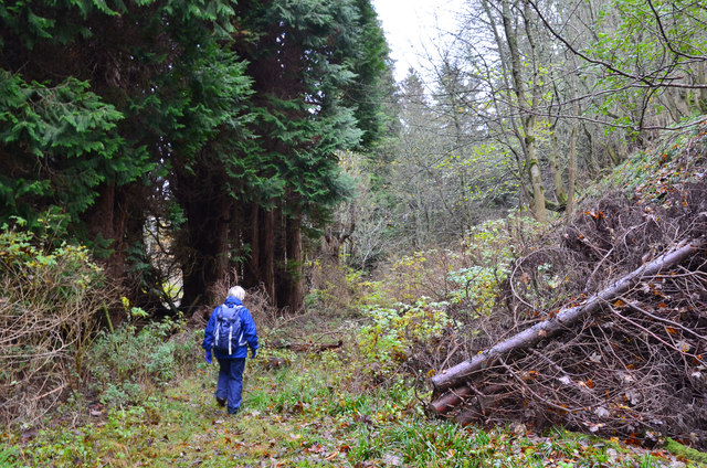
A well-maintained network of trails and footpaths provides access to Crookston South Mains Hill, allowing visitors to explore the area at their own pace. The hill offers a range of routes suitable for all abilities, from gentle strolls to more challenging hikes. The paths are clearly marked, ensuring visitors can navigate the hill with ease.

Overall, Crookston South Mains Hill is a natural gem in Midlothian, offering stunning views, diverse wildlife, and a tranquil escape from the hustle and bustle of city life.

If you have any feedback on the listing, please let us know in the comments section below.

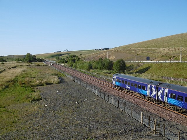
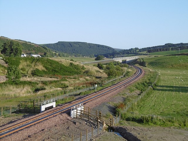
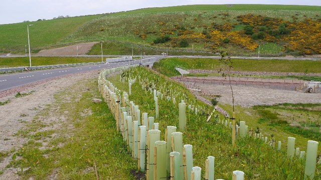
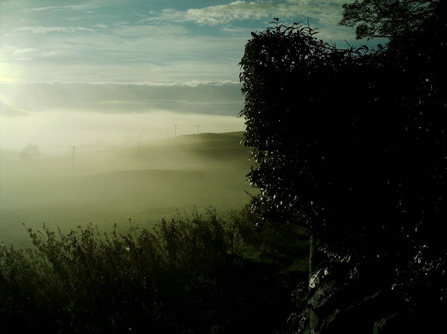
Crookston South Mains Hill Images

Images are sourced within 2km of 55.768032/-2.9251161 or Grid Reference NT4253. Thanks to Geograph Open Source API. All images are credited.

Borders Railway, Heriot The 1745 from Tweedbank to Edinburgh Waverley approaches the site of Heriot Station on the day passenger services resumed on the northern third of the Waverley Line. As soon as I took this, I put down my camera and clapped. Looking forward to travelling on the line soon, but don't expect shots from the train!
Borders Railway, Heriot
The 1745 from Tweedbank to Edinburgh Waverley approaches the site of Heriot Station on the day passenger services resumed on the northern third of the Waverley Line. As soon as I took this, I put down my camera and clapped. Looking forward to travelling on the line soon, but don't expect shots from the train!
Border Railway near Heriot On opening day, looking southwards. The railway was closed between 1969 and 2015 and remains closed south of Tweedbank.
Border Railway near Heriot
On opening day, looking southwards. The railway was closed between 1969 and 2015 and remains closed south of Tweedbank.
New road, Heriot A bridge has been built south of the old level crossing site at Heriot. There is now a pedestrian underpass there. The railway reopened on the 6th September 2015. <a href="https://www.geograph.org.uk/photo/4648382">NT4054 : Borders Railway, Heriot</a>
New road, Heriot
A bridge has been built south of the old level crossing site at Heriot. There is now a pedestrian underpass there. The railway reopened on the 6th September 2015. NT4054 : Borders Railway, Heriot
Mist blanketing Gala Valley South of Heriot
A7 lay-by
A7 lay-by
A steam special on the Borders Railway at Hangingshaw The steam locomotive Royal Scot is being hauled back to Edinburgh by a vintage diesel.
A steam special on the Borders Railway at Hangingshaw
The steam locomotive Royal Scot is being hauled back to Edinburgh by a vintage diesel.
Chapel Hill The recently reopened Borders Railway crosses the centre of this picture.
Chapel Hill
The recently reopened Borders Railway crosses the centre of this picture.
View of Crookston Looking over the Gala Water from the single track road on the west side of the river.
View of Crookston
Looking over the Gala Water from the single track road on the west side of the river.
Crookston Across the Gala Water.
Crookston
Across the Gala Water.
Stripwood, White Hill A strip on the west side of the Gala Water.
Stripwood, White Hill
A strip on the west side of the Gala Water.
Borders Railway, Halltree An Edinburgh bound train passes a road junction on the A7.
Borders Railway, Halltree
An Edinburgh bound train passes a road junction on the A7.
Hillside above Halltree
Yellow road, Kilcoulter Approach to Kilcoulter Bridge, heading northwards.
Yellow road, Kilcoulter
Approach to Kilcoulter Bridge, heading northwards.
Road south of Heriot The white house by the A7 used to have a shop and filling station.
<a href="https://www.geograph.org.uk/photo/38033">NT4053 : Hangingshaw Post Office.</a>
Road south of Heriot
The white house by the A7 used to have a shop and filling station. NT4053 : Hangingshaw Post Office.
A forlorn hope, Heriot On an abortive attempt to follow the path shown on the S bank of the Heriot Water between White Bridge and Kilcoulter Bridge. Beyond this point the route was heavily overgrown with fallen trees, swampland and barbed wire adding to the fun.
A forlorn hope, Heriot
On an abortive attempt to follow the path shown on the S bank of the Heriot Water between White Bridge and Kilcoulter Bridge. Beyond this point the route was heavily overgrown with fallen trees, swampland and barbed wire adding to the fun.
Heriot Water at Kilcoulter Wood The furthest point reached on the attempt to follow the path from White Bridge to Kilcoulter Bridge.
Heriot Water at Kilcoulter Wood
The furthest point reached on the attempt to follow the path from White Bridge to Kilcoulter Bridge.
Corsehope glen On the access road to Corsehope House from the minor road at Kilcoulter.
Corsehope glen
On the access road to Corsehope House from the minor road at Kilcoulter.
Chapel Bridge, Kilcoulter Old maps (e.g. OS 6" Edinburghshire sheet XXI.SW 1895) show Halltree Chapel a short distance to the south on Chapel Hill. The bridge carries the Fountainhall road across the Corsehope Burn.
Chapel Bridge, Kilcoulter
Old maps (e.g. OS 6" Edinburghshire sheet XXI.SW 1895) show Halltree Chapel a short distance to the south on Chapel Hill. The bridge carries the Fountainhall road across the Corsehope Burn.
Show me another place!

Crookston South Mains Hill is located at Grid Ref: NT4253 (Lat: 55.768032, Lng: -2.9251161)

Unitary Authority: The Scottish Borders

Police Authority: The Lothians and Scottish Borders

What 3 Words

///comically.trader.confident. Near Gorebridge, Midlothian

Nearby Locations

Crookston South Mains Hill

Related Wikis

Halltree

Halltree is a hamlet in the Scottish Borders. == Etymology == The etymology of Halltree is debated, but the second element is likely to be a Cumbric word...
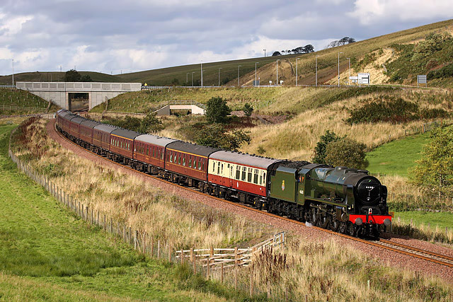
Borders Railway

The Borders Railway connects the city of Edinburgh with Galashiels and Tweedbank in the Scottish Borders. The railway follows most of the alignment of...

Heriot railway station

Heriot railway station served the village of Heriot, Scottish Borders, Scotland from 1848 to 1969 on the Waverley Route. == History == The station opened...

Heriot, Scottish Borders

Heriot is a small village in the Moorfoot Hills southeast of Edinburgh, Scotland, within Eildon (part of the Scottish Borders council area, though historically...

Nearby Amenities

Located within 500m of 55.768032,-2.9251161
Crookston Hill
Natural: peak
Lat/Long: 55.7680515/-2.9252818
The data included in this document is from www.openstreetmap.org. The data is made available under ODbL.

Have you been to Crookston South Mains Hill?

Leave your review of Crookston South Mains Hill below (or comments, questions and feedback).