Bye Hill

Hill, Mountain in Roxburghshire

Scotland

Bye Hill

The A7 approaching the Mosspaul Hotel Mosspaul is just visible in the trees L of the road and is at the watershed between The Ewes Water to the south and Teviotdale to the north.
The A7 approaching the Mosspaul Hotel Credit: Jim Barton

Bye Hill is a prominent hill located in the region of Roxburghshire in the Scottish Borders, United Kingdom. It is situated near the small village of Bonchester Bridge, approximately 5 miles southeast of the town of Hawick.

Rising to an elevation of 557 meters (1,830 feet), Bye Hill offers stunning panoramic views of the surrounding countryside. Its distinctive conical shape and lush green slopes make it a notable landmark in the area. The hill is predominantly covered in grass and heather, with some scattered trees dotting its lower slopes.

Bye Hill is a popular destination for outdoor enthusiasts, hikers, and nature lovers. There are several well-maintained trails that lead to the summit, providing an opportunity for visitors to explore its diverse flora and fauna. The hill is known for its rich biodiversity, with various species of birds, including buzzards and kestrels, often spotted soaring above.

At the summit of Bye Hill, there is a trig point, which serves as a marker for geodetic surveys. From this vantage point, one can enjoy breathtaking views of the surrounding countryside, including the Cheviot Hills to the south and the Eildon Hills to the north.

The hill is easily accessible by foot, with parking available nearby. It offers a peaceful and tranquil environment, making it an ideal spot for picnicking or simply enjoying the serenity of nature. Whether you are a keen hiker or simply seeking a peaceful escape, Bye Hill is a must-visit destination in Roxburghshire.

If you have any feedback on the listing, please let us know in the comments section below.
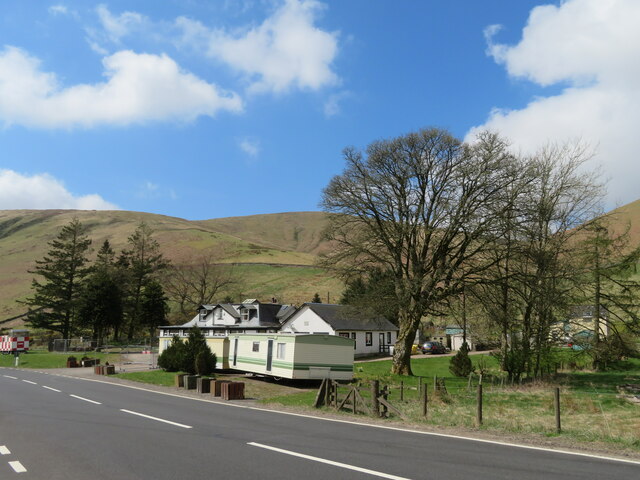
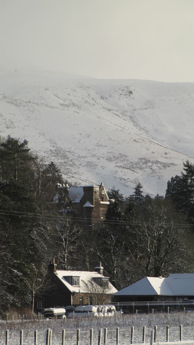
Bye Hill Images

Images are sourced within 2km of 55.284238/-2.9225984 or Grid Reference NY4199. Thanks to Geograph Open Source API. All images are credited.

The A7 approaching the Mosspaul Hotel Mosspaul is just visible in the trees L of the road and is at the watershed between The Ewes Water to the south and Teviotdale to the north.
The A7 approaching the Mosspaul Hotel
Mosspaul is just visible in the trees L of the road and is at the watershed between The Ewes Water to the south and Teviotdale to the north.
Mosspaul on the A7 Labelled as a hotel on some scales of map, but fenced off and certainly not looking as if it is now a hotel. Some sources indicate that it is hostel or available to let. The hill in view is in Dumfries & Galloway.
Mosspaul on the A7
Labelled as a hotel on some scales of map, but fenced off and certainly not looking as if it is now a hotel. Some sources indicate that it is hostel or available to let. The hill in view is in Dumfries & Galloway.
The A7 at Mosspaul With pylon and road monitoring cameras, clouds and the western slope of Dod Hill.
The A7 at Mosspaul
With pylon and road monitoring cameras, clouds and the western slope of Dod Hill.
A7 near Mosspaul
A7 near Mosspaul
A7 near Mosspaul
A7 near Mosspaul
Fence and marker post on Tudhope Hill
Fence on Tudhope Hill The fence follows the boundary between the Scottish Borders on the left and Dumfries and Galloway on the right.
Fence on Tudhope Hill
The fence follows the boundary between the Scottish Borders on the left and Dumfries and Galloway on the right.
Ely Grain Ely Grain is the name of the small burn in this cleuch between Lightning Hill on the left and Roughcleuch Rig on the right.
Ely Grain
Ely Grain is the name of the small burn in this cleuch between Lightning Hill on the left and Roughcleuch Rig on the right.
A tree by Ely Grain There is an old nest in this tree by the small burn called Ely Grain between Lightning Hill and Roughcleuch Rig.
A tree by Ely Grain
There is an old nest in this tree by the small burn called Ely Grain between Lightning Hill and Roughcleuch Rig.
Elygrain This farm cottage on the northeast side of Linhope Burn appears to be empty and is probably used for storage. Lightning Hill is in the background.
Elygrain
This farm cottage on the northeast side of Linhope Burn appears to be empty and is probably used for storage. Lightning Hill is in the background.
Ely Grain Ely Grain is the name of the small burn in this cleuch between Lightning Hill on the left and Roughcleuch Rig on the right. There was an old nest (most likely a carrion crow) in both trees.
Ely Grain
Ely Grain is the name of the small burn in this cleuch between Lightning Hill on the left and Roughcleuch Rig on the right. There was an old nest (most likely a carrion crow) in both trees.
A track at Linhope This access track runs by the Linhope Burn. Buildings at Linhope Farm are in the background.
A track at Linhope
This access track runs by the Linhope Burn. Buildings at Linhope Farm are in the background.
A track at Linhope This access track runs from Linhope Farm up by the Linhope Burn to Elygrain.
A track at Linhope
This access track runs from Linhope Farm up by the Linhope Burn to Elygrain.
On the northeast ridge of Dod Hill Lightning Hill is in the background to the left with Roughcleuch Rig on the right.
On the northeast ridge of Dod Hill
Lightning Hill is in the background to the left with Roughcleuch Rig on the right.
The A7 between Comb Hill and Dod Hill The road stands out in a snow-covered landscape in this view from Dod Hill. A sheepfold by Comb Sike is at the top right.
The A7 between Comb Hill and Dod Hill
The road stands out in a snow-covered landscape in this view from Dod Hill. A sheepfold by Comb Sike is at the top right.
The summit of Dod Hill This is a view from the unmarked 495m summit towards Wisp Hill on the left and Comb Hill on the right.
The summit of Dod Hill
This is a view from the unmarked 495m summit towards Wisp Hill on the left and Comb Hill on the right.
Elygrain in winter Elygrain is a cottage on the northeast side of the Linhope Burn. For a closer view of the cottage, see <a href="https://www.geograph.org.uk/photo/2687887">NT4100 : Elygrain</a>. The burn in the cleuch behind the building is called Ely Grain and Greatmoor Hill is in the background to the left with Skelfhill Pen on the right. This was viewed from Dod Hill.
Elygrain in winter
Elygrain is a cottage on the northeast side of the Linhope Burn. For a closer view of the cottage, see NT4100 : Elygrain. The burn in the cleuch behind the building is called Ely Grain and Greatmoor Hill is in the background to the left with Skelfhill Pen on the right. This was viewed from Dod Hill.
Farm road near Braehead
Show me another place!

Bye Hill is located at Grid Ref: NY4199 (Lat: 55.284238, Lng: -2.9225984)

Unitary Authority: The Scottish Borders

Police Authority: The Lothians and Scottish Borders

What 3 Words

///reporting.cost.single. Near Teviothead, Scottish Borders

Related Wikis

Nearby Amenities

Located within 500m of 55.284238,-2.9225984
Bye Hill
Ele: 498
Natural: peak
Lat/Long: 55.2839636/-2.9210785
Penangus Hope
Place: locality
Lat/Long: 55.2810857/-2.9262438
The data included in this document is from www.openstreetmap.org. The data is made available under ODbL.

Have you been to Bye Hill?

Leave your review of Bye Hill below (or comments, questions and feedback).