Binks Hill
Hill, Mountain in Roxburghshire
Scotland
Binks Hill

Binks Hill is a prominent hill located in Roxburghshire, a historic county in the Scottish Borders region of Scotland. It stands at an elevation of approximately 431 meters (1,414 feet) above sea level and is situated about 6 kilometers (3.7 miles) northeast of the town of Jedburgh.
The hill offers breathtaking views of the surrounding countryside, with its summit providing a panoramic vista of the rolling hills, valleys, and farmland that characterize the region. Binks Hill is part of the wider Cheviot Hills range, which straddles the Scotland-England border.
The terrain of Binks Hill is mainly composed of grassy slopes, making it a relatively easy hill to climb for walkers and hikers of various skill levels. There are also several walking trails that traverse the hill, allowing visitors to explore its natural beauty and enjoy the peaceful ambiance of the rural landscape.
The area surrounding Binks Hill is rich in wildlife, with various bird species, including red grouse and buzzards, frequently spotted soaring above its slopes. The hill is also home to diverse flora, including heather, bracken, and other wildflowers.
Due to its accessible location and scenic views, Binks Hill attracts both locals and tourists who seek outdoor activities such as hillwalking, picnicking, and nature photography. Its proximity to the town of Jedburgh also makes it a popular destination for those looking to combine their hillwalking experience with a visit to the historic attractions of the area, such as Jedburgh Abbey and Mary, Queen of Scots House.
If you have any feedback on the listing, please let us know in the comments section below.
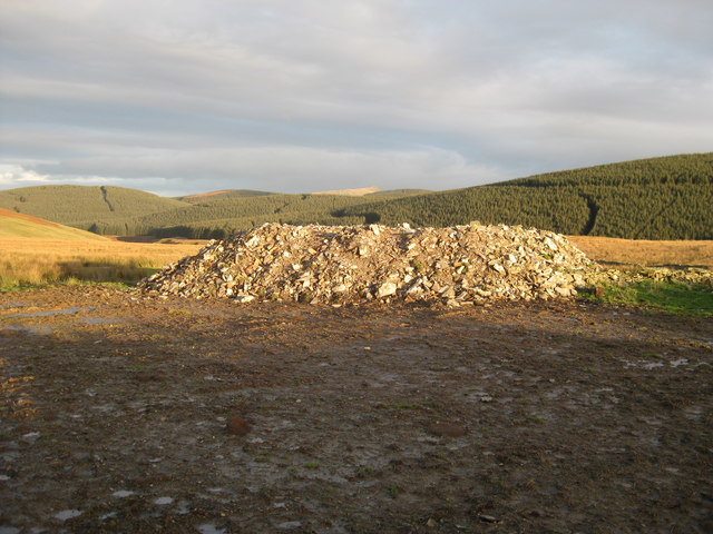
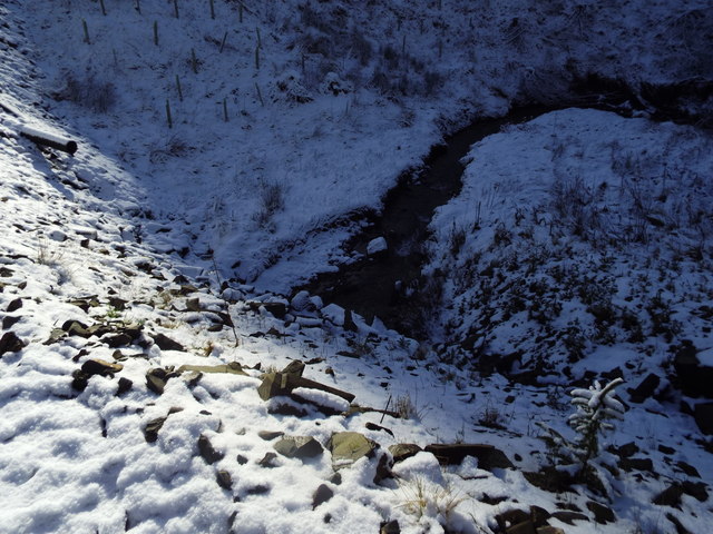
Binks Hill Images
Images are sourced within 2km of 55.322998/-2.928069 or Grid Reference NT4103. Thanks to Geograph Open Source API. All images are credited.


Binks Hill is located at Grid Ref: NT4103 (Lat: 55.322998, Lng: -2.928069)
Unitary Authority: The Scottish Borders
Police Authority: The Lothians and Scottish Borders
What 3 Words
///thickens.chicken.automatic. Near Teviothead, Scottish Borders
Nearby Locations
Related Wikis

Caerlanrig
Caerlanrig - also spelled 'Carlenrig' - (Gaelic: Cathair Lannraig) is a hamlet in the parish of Cavers, Borders, Scotland, lying on the River Teviot, 6...

River Teviot
The River Teviot (; Scottish Gaelic: Abhainn Tìbhiot), or Teviot Water, is a river of the Scottish Borders area of Scotland, and is the largest tributary...

Teviothead
Teviothead (Scottish Gaelic: Ceann Tìbhiot) is a small village and civil parish in Teviotdale in the Scottish Borders, known locally as Teviotheid. It...
Falnash
Falnash (Scots: Fawenesh) is a village in the Scottish Borders of Scotland. It is near Teviothead, in the former Roxburghshire, and in the parish of Teviothead...
Nearby Amenities
Located within 500m of 55.322998,-2.928069Have you been to Binks Hill?
Leave your review of Binks Hill below (or comments, questions and feedback).