Black Law

Hill, Mountain in Midlothian

Scotland

Black Law

Summit, The Struther Rough ground, grazed by horses. They stayed lower down the hill as it was rather windy.
Summit, The Struther Credit: Richard Webb

Black Law is a prominent hill located in Midlothian, Scotland. With an elevation of approximately 1,920 feet (586 meters), it stands as one of the highest points in the region. Situated in the Pentland Hills, Black Law offers breathtaking panoramic views of the surrounding landscape.

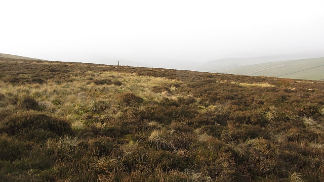
The hill is known for its distinctive dark appearance, which is attributed to the presence of peat and heather covering its slopes. Its name, Black Law, is derived from the Scots word "law," meaning hill or mountain. The hill is a popular destination for outdoor enthusiasts, hikers, and nature lovers who seek to explore its rugged beauty.

Black Law is part of a designated Regional Park, making it a protected natural area. The hill is home to a diverse range of flora and fauna, including heather, bracken, and various species of birds and small mammals. It offers a peaceful retreat from the bustling city of Edinburgh, which lies just a few miles to the north.

Several walking and hiking trails wind their way up and around Black Law, providing visitors with different levels of difficulty and stunning vistas along the way. On a clear day, it is possible to see as far as the Firth of Forth and the Pentland Firth from the summit.

Black Law is not only a natural landmark but also a place of historical significance. Remains of Iron Age hillforts and ancient burial sites have been discovered in the area, highlighting its rich cultural heritage.

Overall, Black Law in Midlothian is a captivating destination that offers both natural beauty and a glimpse into Scotland's past.

If you have any feedback on the listing, please let us know in the comments section below.

Black Law Images

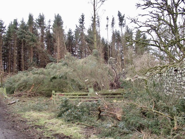
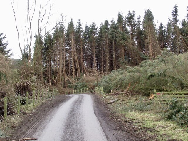
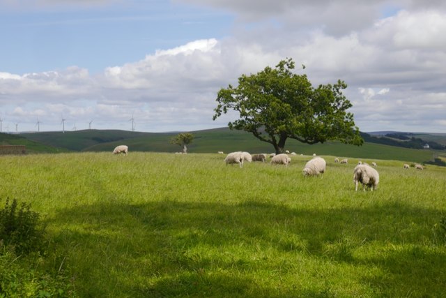
Images are sourced within 2km of 55.723346/-2.9383399 or Grid Reference NT4148. Thanks to Geograph Open Source API. All images are credited.

Summit, The Struther Rough ground, grazed by horses. They stayed lower down the hill as it was rather windy.
Summit, The Struther
Rough ground, grazed by horses. They stayed lower down the hill as it was rather windy.
Road from Over and Nether Shiels
Over Shiels road
Over Shiels road
Young hedge, Caddams Cleuch The shelterbelt was doing its work today, much more windy on the other side, on The Struther.
Young hedge, Caddams Cleuch
The shelterbelt was doing its work today, much more windy on the other side, on The Struther.
Newly planted hillside, Symington A block of young trees to the right of the shelter belt. View from The Struther.
Newly planted hillside, Symington
A block of young trees to the right of the shelter belt. View from The Struther.
Windthrow, Howliston The storm damage ("Arwen" 26/11/2021) has revealed the ruins of a tower house.
Windthrow, Howliston
The storm damage ("Arwen" 26/11/2021) has revealed the ruins of a tower house.
Windthrow, Howliston Much of a small conifer plantation was felled by a gale on 26th November 2021.
Windthrow, Howliston
Much of a small conifer plantation was felled by a gale on 26th November 2021.
Town Law from the air Hazelbank Quarry can be seen to the left, with part of Toddleburn wind farm on the extreme left. Viewed from a flight from Prague, heading for Edinburgh.
Town Law from the air
Hazelbank Quarry can be seen to the left, with part of Toddleburn wind farm on the extreme left. Viewed from a flight from Prague, heading for Edinburgh.
Town Law plantations above Fountainhall Watherston Hill is at top right <a href="https://www.geograph.org.uk/photo/5614222">NT4246 : Forestry on Watherston Hill</a>. The remains of the first snow of winter can be seen.
Town Law plantations above Fountainhall
Watherston Hill is at top right NT4246 : Forestry on Watherston Hill. The remains of the first snow of winter can be seen.
Woodland, Dyker Law
Woodland, Dyker Law
Summit, Dyker Law
Summit, Dyker Law
The Glen
The Glen
Sorting the sheep at Howliston
Settlement, Symington A hilltop earthwork on a spur above the Gala Water.
Settlement, Symington
A hilltop earthwork on a spur above the Gala Water.
Symington Hillhead Gathering pens beside a ruin.
Symington Hillhead
Gathering pens beside a ruin.
Watherston Hill Moorland on Watherston Hill. Much of the hill is wooded.
Watherston Hill
Moorland on Watherston Hill. Much of the hill is wooded.
Symington Hill The eastern flank of the Moorfoot Hills is largely improved agricultural land and used for cattle raising.
Symington Hill
The eastern flank of the Moorfoot Hills is largely improved agricultural land and used for cattle raising.
Grazing land, Symington Improved grazing above the Gala Water. In Summer cattle graze these hills along with sheep.
Grazing land, Symington
Improved grazing above the Gala Water. In Summer cattle graze these hills along with sheep.
Show me another place!

Black Law is located at Grid Ref: NT4148 (Lat: 55.723346, Lng: -2.9383399)

Unitary Authority: The Scottish Borders

Police Authority: The Lothians and Scottish Borders

What 3 Words

///regretted.finally.courage. Near Lauder, Scottish Borders

Related Wikis

Fountainhall railway station

Fountainhall railway station served the village of Fountainhall, Scottish Borders from 1848 to 1969 on the Waverley Route. == History == The station opened...

Allanshaugh

Allanshaugh is a fermtoun in the Scottish Borders area of Scotland. == See also == List of places in the Scottish Borders List of places in Scotland...

Halltree

Halltree is a hamlet in the Scottish Borders. == Etymology == The etymology of Halltree is debated, but the second element is likely to be a Cumbric word...

Heriot, Scottish Borders

Heriot is a small village in the Moorfoot Hills southeast of Edinburgh, Scotland, within Eildon (part of the Scottish Borders council area, though historically...

Nearby Amenities

Located within 500m of 55.723346,-2.9383399
Barrier: cattle_grid
Lat/Long: 55.7231006/-2.9391235
Barrier: cattle_grid
Lat/Long: 55.7208726/-2.9403118
The data included in this document is from www.openstreetmap.org. The data is made available under ODbL.

Have you been to Black Law?

Leave your review of Black Law below (or comments, questions and feedback).