Brownhow Hill
Hill, Mountain in Cumberland Eden
England
Brownhow Hill

Brownhow Hill is a prominent hill located in the county of Cumberland, in the northwestern part of England. Rising to an elevation of 2,037 feet (621 meters), it is classified as a hill rather than a mountain. It is situated within the Lake District National Park, which is known for its stunning natural beauty and picturesque landscapes.
The hill is characterized by its distinct shape, resembling a rounded dome, and is covered in grass and heather vegetation. It offers breathtaking panoramic views of the surrounding area, including the nearby valleys and mountains. On clear days, it is possible to see as far as the Irish Sea to the west and the Scottish borders to the north.
Brownhow Hill is a popular destination for hikers and outdoor enthusiasts due to its accessibility and relatively easy ascent. There are several well-marked trails that lead to the summit, offering hikers the opportunity to explore the diverse flora and fauna of the region. The hill is also home to a variety of wildlife, including birds of prey such as buzzards and kestrels.
Due to its location within the Lake District National Park, Brownhow Hill is subject to conservation efforts to protect its natural beauty and preserve its ecosystem. Visitors are encouraged to follow designated paths and adhere to the park's guidelines to minimize their impact on the environment.
In conclusion, Brownhow Hill is a captivating hill in Cumberland, offering stunning views and a unique outdoor experience within the picturesque Lake District National Park.
If you have any feedback on the listing, please let us know in the comments section below.
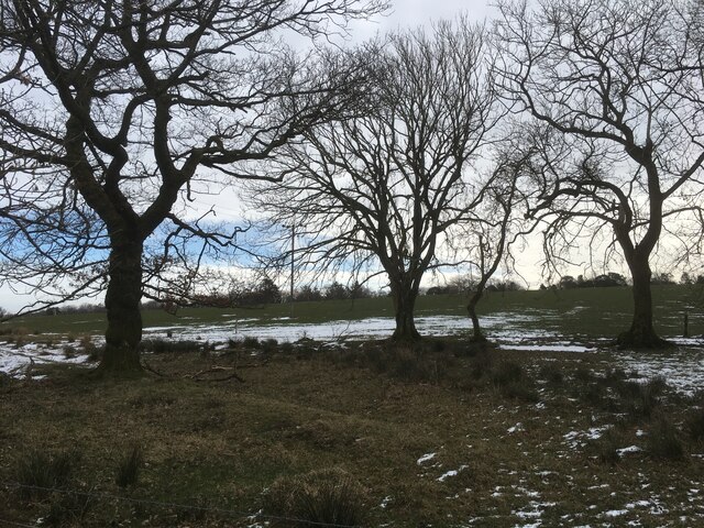
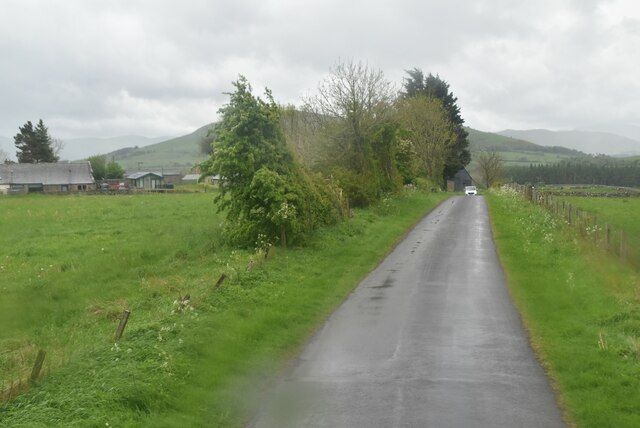
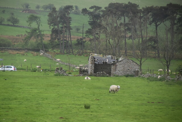
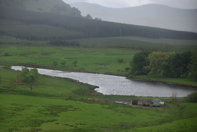
Brownhow Hill Images
Images are sourced within 2km of 54.630764/-2.9182764 or Grid Reference NY4026. Thanks to Geograph Open Source API. All images are credited.


Brownhow Hill is located at Grid Ref: NY4026 (Lat: 54.630764, Lng: -2.9182764)
Administrative County: Cumbria
District: Eden
Police Authority: Cumbria
What 3 Words
///huddle.stylists.defaults. Near Penrith, Cumbria
Nearby Locations
Related Wikis

Beckces
Beckces is a hamlet approximately 800 yards (750 metres) west of Penruddock railway station on the former Cockermouth, Keswick & Penrith Railway within...

Great Mell Fell
Great Mell Fell (Bare hill, with the later additions of both "Fell" and "Great") is an isolated hill or fell in the English Lake District, north of Ullswater...

Troutbeck railway station
Troutbeck railway station was situated on the Cockermouth, Keswick and Penrith Railway between Penrith and Cockermouth in Cumberland (now in Cumbria),...
Penruddock railway station
Penruddock railway station was situated on the Cockermouth, Keswick and Penrith Railway between Penrith and Cockermouth in Cumberland (now in Cumbria)...
Nearby Amenities
Located within 500m of 54.630764,-2.9182764Have you been to Brownhow Hill?
Leave your review of Brownhow Hill below (or comments, questions and feedback).