Chapel Hill
Hill, Mountain in Banffshire
Scotland
Chapel Hill
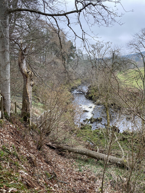
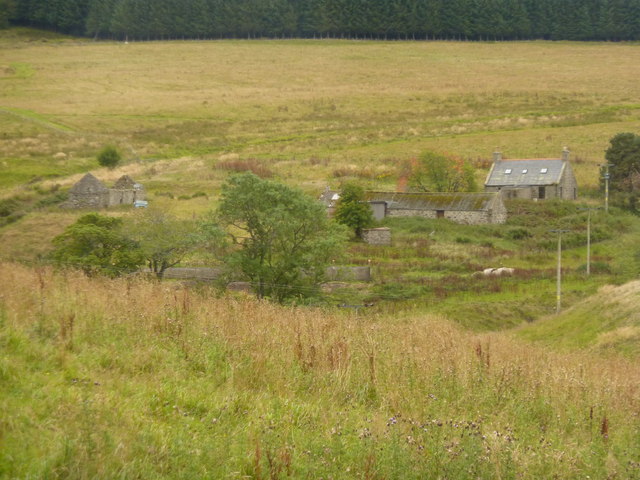
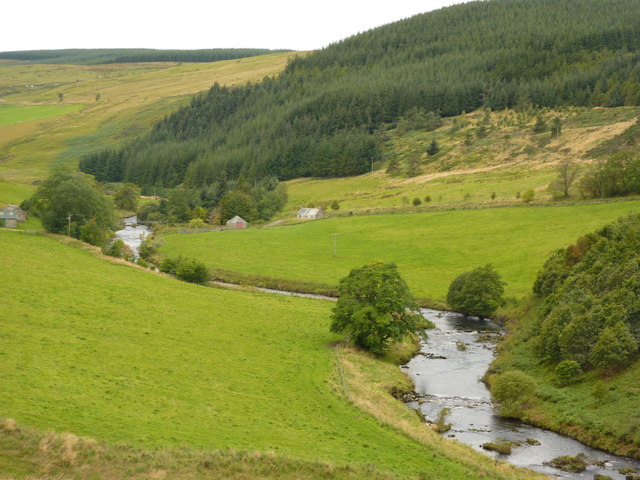
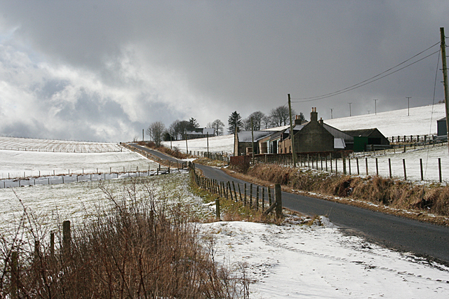
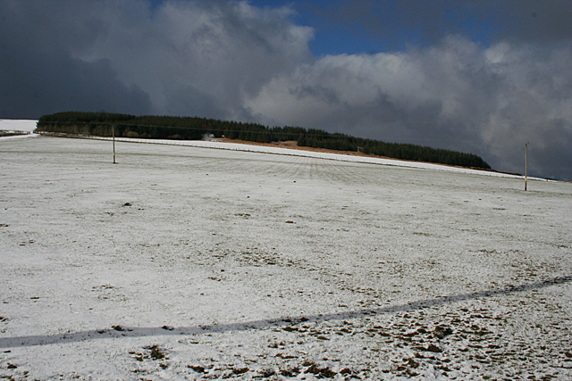
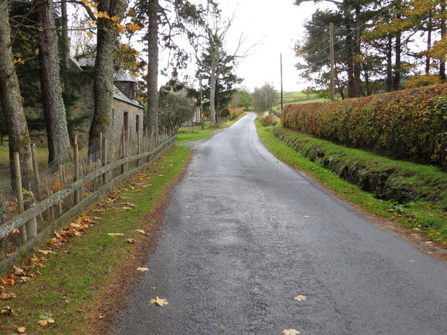
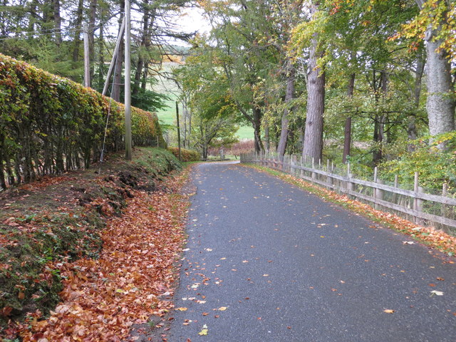
Chapel Hill, Banffshire is a prominent hill located in the picturesque region of Banffshire, Scotland. Standing at an elevation of approximately 260 meters (850 feet), it offers sweeping panoramic views of the surrounding countryside, making it a popular destination for hikers and nature enthusiasts alike.
The hill is characterized by its gentle slopes, covered in lush green vegetation during the warmer months. It is home to a diverse range of flora and fauna, including heather, gorse, and various species of birds. The landscape is dotted with scattered granite outcrops, adding to its natural beauty.
Chapel Hill derives its name from the presence of an ancient chapel which once stood near its summit. Although the chapel itself has long since disappeared, the remains of its foundation can still be seen, serving as a reminder of the area's rich history.
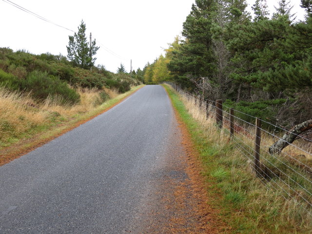
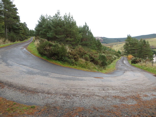
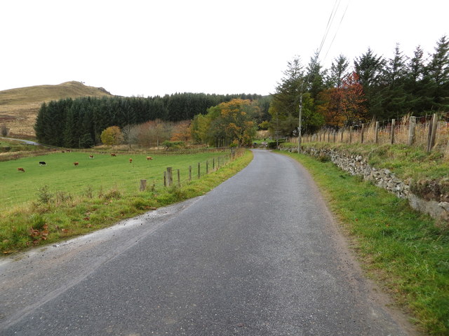
Access to Chapel Hill is relatively easy, with a well-marked trail leading to the summit. The hike is considered moderate in difficulty, making it suitable for individuals of varying fitness levels. Along the way, visitors can enjoy the tranquility of the Scottish countryside, with the occasional glimpse of wildlife such as red deer or rabbits.
Once at the top, visitors are rewarded with breathtaking views of the rolling hills, nearby villages, and the sparkling waters of the North Sea in the distance. The summit also provides an ideal vantage point for capturing stunning photographs or simply taking in the natural beauty of Banffshire.
Overall, Chapel Hill, Banffshire offers a serene and captivating experience for those seeking to connect with nature and immerse themselves in the Scottish countryside.
If you have any feedback on the listing, please let us know in the comments section below.
Chapel Hill Images
Images are sourced within 2km of 57.417957/-2.9924803 or Grid Reference NJ4036. Thanks to Geograph Open Source API. All images are credited.


Chapel Hill is located at Grid Ref: NJ4036 (Lat: 57.417957, Lng: -2.9924803)
Unitary Authority: Aberdeenshire
Police Authority: North East
What 3 Words
///figs.looked.skimmers. Near Dufftown, Moray
Nearby Locations
Related Wikis

Glass, Aberdeenshire
Glass is a parish about 8 miles west of Huntly, Aberdeenshire, Scotland. It is now wholly located in Aberdeenshire but before the reorganisation of Scottish...

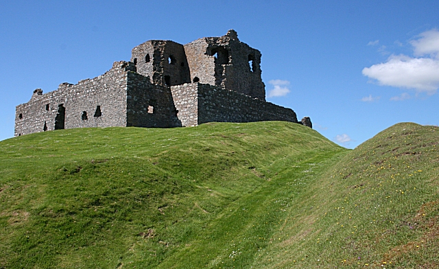
Beldorney Castle
Beldorney Castle is a Z-plan castle dating from the mid-16th century, about two miles south of Glass, in hilly country in the valley of the Deveron, in...
Blairmore School
Blairmore School was an independent boarding preparatory school in Glass near Huntly, Aberdeenshire until its closure in 1993. The site is now owned and...
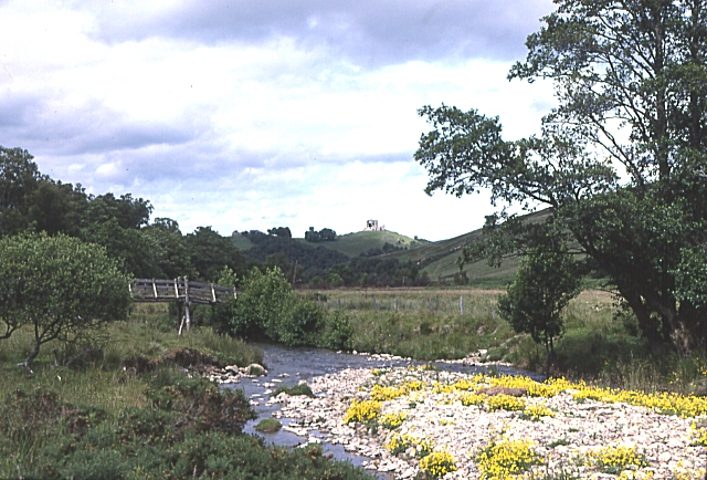
Auchindoun Castle
Auchindoun Castle is a 15th-century L-Plan tower castle located in Auchindoun near Dufftown in Moray, Scotland. == History == While there is evidence of...
Auchindoun, Moray
Auchindoun (Scottish Gaelic: Achadh an Dùin) is a rural hamlet in Moray, Scotland. It is located some 2.5 miles east of Dufftown, which describes itself...
Torry Burn, Huntly
Torry Burn is a burn which marks the boundary of the parish of Huntly, Aberdeenshire, Scotland. == References ==

Wormy Hillock Henge
Wormy Hillock Henge, also known as The Dragon's Grave, is a small henge in Aberdeenshire, Scotland. It is a Scheduled Ancient Monument located in the Clashindarroch...
River Fiddich
The River Fiddich (Scottish Gaelic: Fiodhach / Abhainn Fhiodhaich) is a right bank tributary of the River Spey in northeast Scotland. It rises on the eastern...
Nearby Amenities
Located within 500m of 57.417957,-2.9924803Have you been to Chapel Hill?
Leave your review of Chapel Hill below (or comments, questions and feedback).