Barrow Wife Hill
Hill, Mountain in Lancashire South Lakeland
England
Barrow Wife Hill

Barrow Wife Hill, located in Lancashire, England, is a prominent hill that lies within the West Pennine Moors. Rising to an elevation of approximately 390 meters (1,280 feet), it offers breathtaking panoramic views of the surrounding countryside. The name "Barrow Wife" is derived from the Old English word "beorg," meaning hill or burial mound, and "wif," which refers to a female entity or spirit.
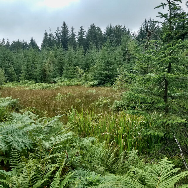
This hill is a popular destination for hikers and nature enthusiasts due to its accessibility and stunning natural beauty. The landscape is characterized by rolling moorland, heather-covered slopes, and rocky outcrops. Visitors can expect to encounter a diverse range of flora and fauna, including rare bird species like the twite and peregrine falcon.
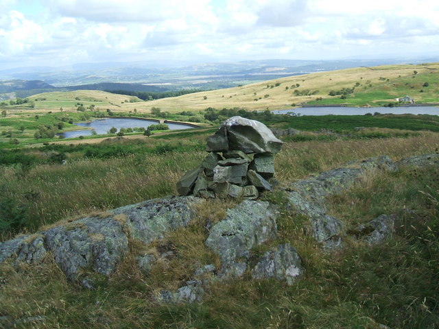
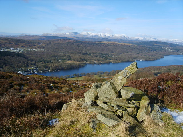
The summit of Barrow Wife Hill provides a vantage point that extends across the Lancashire countryside, offering glimpses of neighboring hills, valleys, and even glimpses of the Irish Sea on clear days. The hill is also home to a trig point, a concrete pillar used for surveying purposes, which adds to its appeal for geocachers and surveying enthusiasts.
In addition to its natural beauty, Barrow Wife Hill holds historical significance. The area is known to have been inhabited since prehistoric times, with evidence of ancient settlements and burial mounds in the surrounding moorland. These archaeological features attract historians and archaeologists eager to explore the region's past.
Overall, Barrow Wife Hill in Lancashire is a captivating natural landmark that offers a combination of scenic beauty, wildlife diversity, and historical interest. It continues to be a cherished destination for outdoor enthusiasts seeking solace in nature and a glimpse into the region's rich history.
If you have any feedback on the listing, please let us know in the comments section below.
Barrow Wife Hill Images
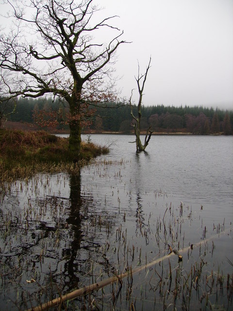
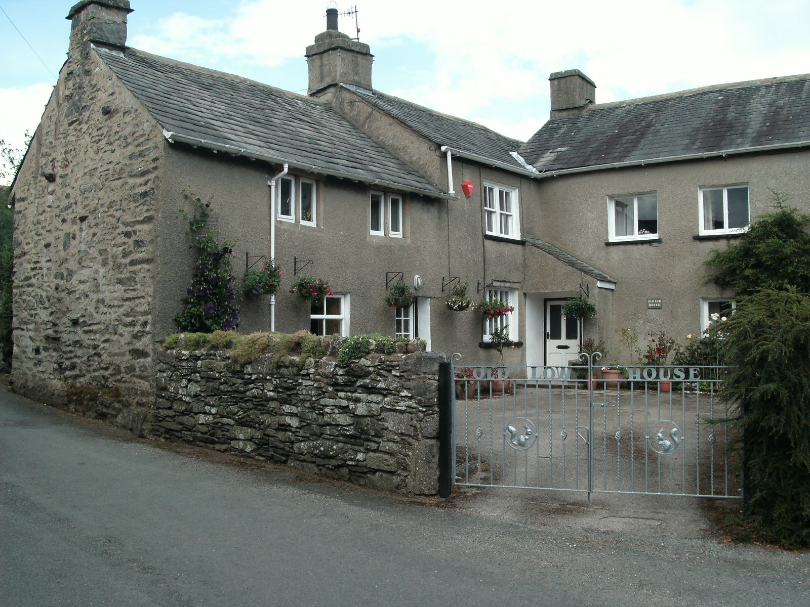
Images are sourced within 2km of 54.258424/-2.919867 or Grid Reference SD4085. Thanks to Geograph Open Source API. All images are credited.


Barrow Wife Hill is located at Grid Ref: SD4085 (Lat: 54.258424, Lng: -2.919867)
Administrative County: Cumbria
District: South Lakeland
Police Authority: Cumbria
What 3 Words
///wove.group.lions. Near Grange-over-Sands, Cumbria
Nearby Locations
Related Wikis
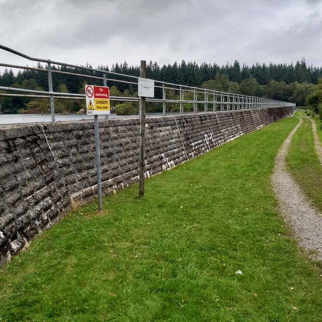
Simpson Ground Reservoir
Simpson Ground Reservoir is a reservoir in Cumbria, England, near the southeastern end of Windermere. It is located within a Forestry Commission conifer...
Ayside
Ayside is a hamlet on the A590 road, in the South Lakeland district, in the county of Cumbria, England. == References == Philip's Street Atlas Cumbria...
Newton Fell
Newton Fell is a hill in the English Lake District near High Newton, south east of Newby Bridge, Cumbria. It lies to the north east of the A590 road. It...
Staveley Fell
Staveley Fell is an upland area in the English Lake District, near (and named for) Staveley-in-Cartmel (not to be confused with Staveley-in-Westmorland...
Nearby Amenities
Located within 500m of 54.258424,-2.919867Have you been to Barrow Wife Hill?
Leave your review of Barrow Wife Hill below (or comments, questions and feedback).