Brampton Hill
Hill, Mountain in Herefordshire
England
Brampton Hill

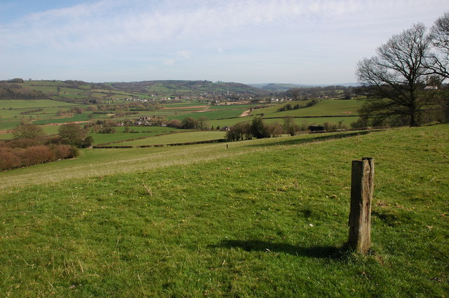
Brampton Hill is a prominent natural feature located in the county of Herefordshire, England. It is classified as a hill rather than a mountain due to its elevation, which stands at approximately 186 meters (610 feet) above sea level. Situated near the village of Brampton Abbotts, the hill offers breathtaking panoramic views of the surrounding countryside.
Brampton Hill is characterized by its gently sloping sides, covered in lush green grass and dotted with a variety of trees and shrubs. The hill is primarily composed of sedimentary rocks, including limestone and sandstone, which have been shaped and molded by natural forces over millions of years.
The summit of Brampton Hill provides a vantage point for visitors to marvel at the picturesque Herefordshire landscape. On clear days, one can see the undulating countryside, with patchwork fields, meandering rivers, and distant hills stretching as far as the eye can see.
The area surrounding Brampton Hill is home to a diverse range of flora and fauna. Wildflowers bloom in abundance during the spring and summer months, attracting bees, butterflies, and other pollinators. The hill also serves as a habitat for various bird species, including thrushes, finches, and raptors.
Brampton Hill is a popular destination for nature enthusiasts, hikers, and walkers who enjoy exploring the outdoors. Numerous footpaths and trails traverse the hill, providing opportunities for leisurely strolls or more challenging hikes. The hill's accessible location and natural beauty make it a beloved spot for locals and tourists alike, seeking solace in the tranquil countryside of Herefordshire.
If you have any feedback on the listing, please let us know in the comments section below.
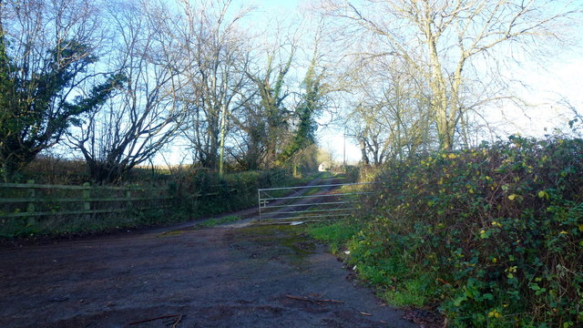
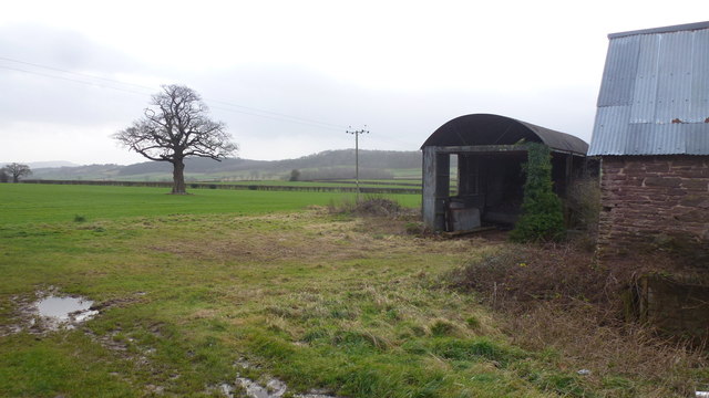
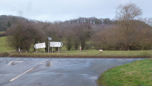
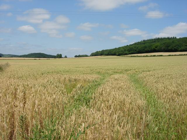
Brampton Hill Images
Images are sourced within 2km of 52.017663/-2.8766329 or Grid Reference SO3935. Thanks to Geograph Open Source API. All images are credited.


Brampton Hill is located at Grid Ref: SO3935 (Lat: 52.017663, Lng: -2.8766329)
Unitary Authority: County of Herefordshire
Police Authority: West Mercia
What 3 Words
///hippy.apples.coverings. Near Kingstone, Herefordshire
Nearby Locations
Related Wikis

Kingstone High School
Kingstone High School is a mixed secondary school located in Kingstone in the English county of Herefordshire.Previously a community school administered...
RAF Madley
Royal Air Force Madley, or more simply RAF Madley, was a Royal Air Force station situated 6.2 miles (10 km) south west of Hereford in Herefordshire, England...
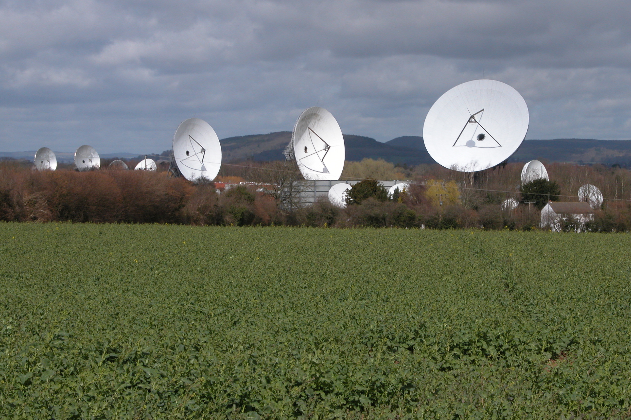
Madley Communications Centre
Madley Communications Centre is BT Group's earth satellite tracking station, between Madley and Kingstone, Herefordshire, England. == Earth position... ==
Golden Valley (Herefordshire)
The Golden Valley is the name given to the valley of the River Dore in western Herefordshire, England. The valley is a picturesque area of gently rolling...
Madley
Madley is a village and civil parish in the English county of Herefordshire. It is located six miles west of the city of Hereford. The population of the...

Bacton railway station
Bacton railway station was a station in Bacton, Herefordshire, England. It was located on the Great Western Railway branch line linking Pontrilas and Hay...
Vowchurch railway station
Vowchurch railway station was a railway station on the Golden Valley Railway line between Abergavenny and Hay-on-Wye. It served the village of Vowchurch...
Vowchurch
Vowchurch is a village and civil parish in Herefordshire, England, situated in the Golden Valley, on the River Dore. The village is about 10 miles (16...
Have you been to Brampton Hill?
Leave your review of Brampton Hill below (or comments, questions and feedback).