Hutton End

Settlement in Cumberland Eden

England

Hutton End

Roadside curiosity
Roadside curiosity Credit: Richard Suddaby

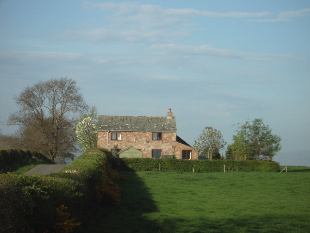
Hutton End is a small village located in the historic county of Cumberland, England. Situated in the northern part of the county, it lies approximately 5 miles east of the town of Cockermouth. The village is nestled amidst the picturesque landscapes of the Lake District National Park, offering residents and visitors a stunning natural environment.

The village itself is characterized by its quaint charm and traditional architecture, with many buildings dating back several centuries. It is primarily a residential area, with a small population of around 150 people. The community is tight-knit, and the village has a friendly and welcoming atmosphere.

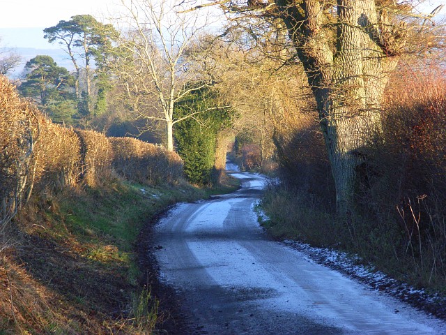
Despite its small size, Hutton End boasts several amenities to cater to the needs of its residents. These include a local pub, a village hall, and a primary school. The village is well-connected to the surrounding areas via a network of roads, making it easily accessible.

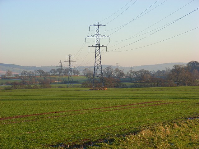
One of the main attractions in the vicinity of Hutton End is the Lake District National Park. This renowned national park offers breathtaking views, rolling hills, and numerous opportunities for outdoor activities such as hiking, boating, and wildlife spotting. Additionally, the nearby town of Cockermouth provides further amenities, including shops, restaurants, and cultural attractions.

Overall, Hutton End is a charming and peaceful village that offers residents and visitors a tranquil setting amidst the stunning landscapes of the Lake District. It is a place where one can escape the hustle and bustle of city life and immerse themselves in nature's beauty.

If you have any feedback on the listing, please let us know in the comments section below.
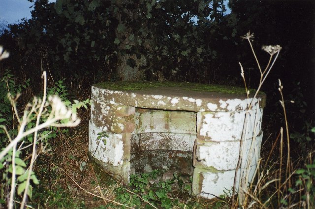
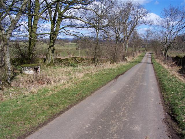
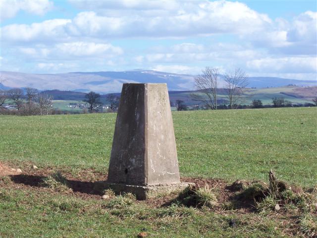
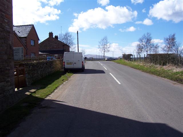
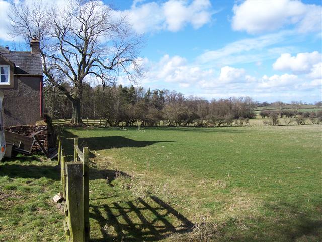
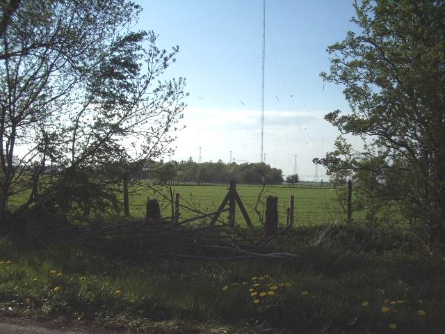
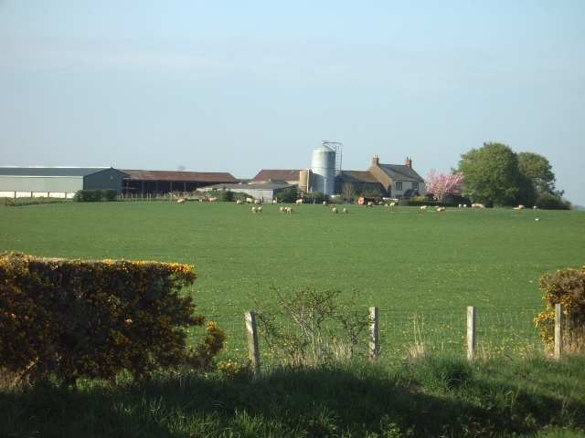
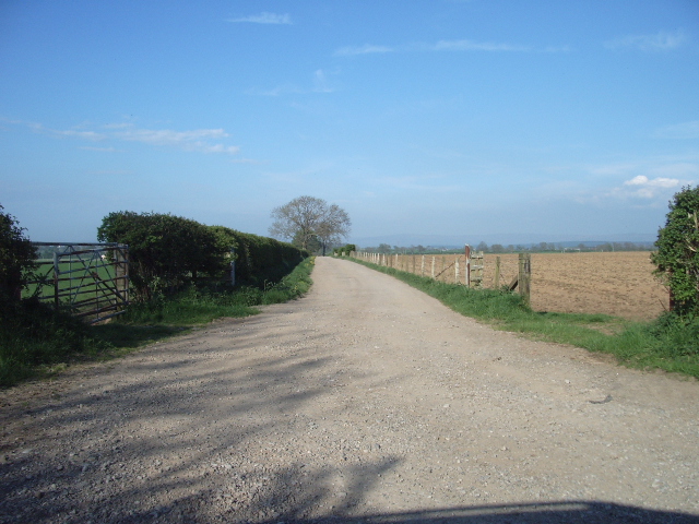
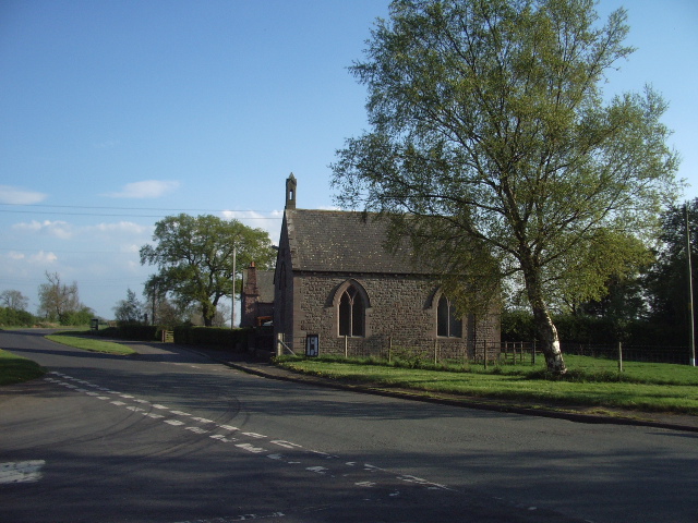
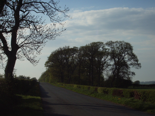
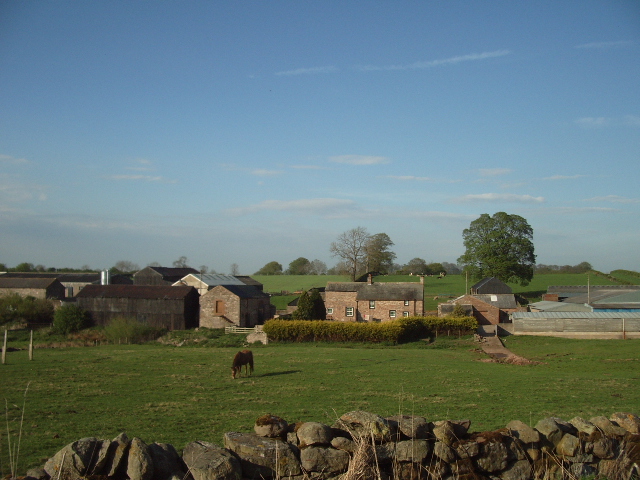
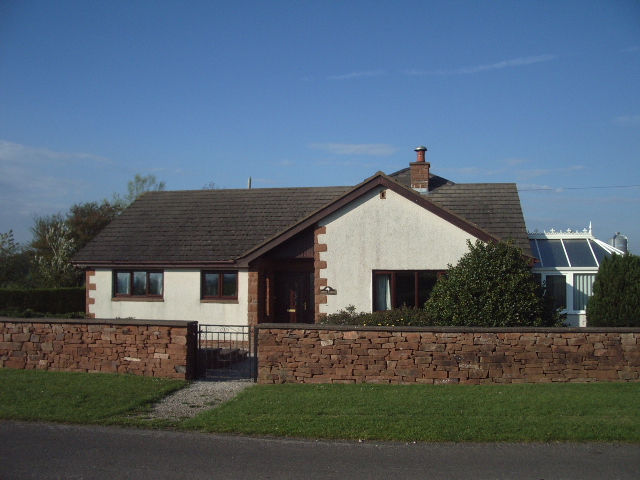
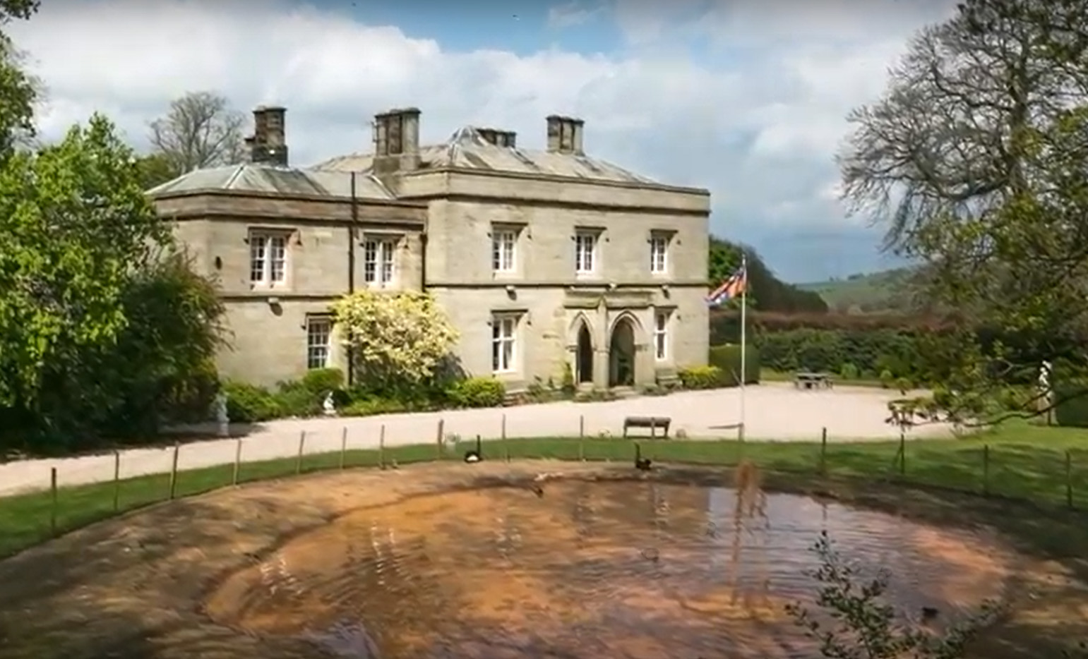
Hutton End Images

Images are sourced within 2km of 54.738032/-2.853433 or Grid Reference NY4538. Thanks to Geograph Open Source API. All images are credited.

Roadside curiosity
Roadside curiosity
Road to Hutton Grange with curiosity on left The curiosity looks like an old well filled in and has a trig arrow on top with a name close to it that may be G.Nithehall. but it is bad to make out.
Road to Hutton Grange with curiosity on left
The curiosity looks like an old well filled in and has a trig arrow on top with a name close to it that may be G.Nithehall. but it is bad to make out.
Lid or roof of curiosity.
Trig Stone with Pennines. The highest point of the Pennine range is above the stone and still covered in snow making it blend in with the sky.
Trig Stone with Pennines.
The highest point of the Pennine range is above the stone and still covered in snow making it blend in with the sky.
Hutton End Crossroads.
Field and Wood. No sign of the water marked on the map perhaps hidden in the wood?
Field and Wood.
No sign of the water marked on the map perhaps hidden in the wood?
Old  gateway The gate has since rotted away, as this gate would not have been used since the construction of Skelton Transmitting Station, which can be seen in the distance.
Old gateway
The gate has since rotted away, as this gate would not have been used since the construction of Skelton Transmitting Station, which can be seen in the distance.
The road to Devonshire Square
Old chapel Hutton End The chapel seemed to be being used as the village hall.
Old chapel Hutton End
The chapel seemed to be being used as the village hall.
Morton Belts A long strip of woodland on the east side of the Hutton End Thomas Close road
Morton Belts
A long strip of woodland on the east side of the Hutton End Thomas Close road
Three Gables
Three Gables
Ling Close Barn
Ling Close Barn
Road above Black Sykes Descending from Hutton Grange. Black Sykes is hidden by the trees on the left.
Road above Black Sykes
Descending from Hutton Grange. Black Sykes is hidden by the trees on the left.
Farmland, Black Sykes One of the two lines of pylons that cross this square.
Farmland, Black Sykes
One of the two lines of pylons that cross this square.
Skelton Transmitting Station The main block of buildings at Skelton Transmitting Station for shortwave broadcasting. An electricity sub-station can be seen to the right of the buildings.
Skelton Transmitting Station
The main block of buildings at Skelton Transmitting Station for shortwave broadcasting. An electricity sub-station can be seen to the right of the buildings.
Muddy track
Muddy track
Show me another place!

Hutton End is located at Grid Ref: NY4538 (Lat: 54.738032, Lng: -2.853433)

Administrative County: Cumbria

District: Eden

Police Authority: Cumbria

What 3 Words

///nesting.degrading.intend. Near Penrith, Cumbria

Nearby Locations

Hutton Row Hutton End

Related Wikis

Morton, Eden

Morton is a hamlet near the village of Calthwaite, in the civil parishes of Hesket and Skelton, within the Eden district of the English county of Cumbria...

Unthank, Skelton

Unthank is a village in the civil parish of Skelton, in Cumbria, England. In 1870-72 the township had a population of 39 as recorded in the Imperial Gazetteer...

Calthwaite

Calthwaite is a small village in rural Cumbria, England, situated between the small market town of Penrith and the larger city of Carlisle. It is within...

Calthwaite Hall

Calthwaite Hall, near Penrith in Cumbria, England, is a house of historical significance and is Grade II listed on the National Heritage List for England...

Hutton in the Forest

Hutton in the Forest is a Grade I listed country house near the village of Skelton in the historic county of Cumberland, which now forms part of the modern...

Calthwaite railway station

Calthwaite railway station in Hesket parish, was situated on the Lancaster and Carlisle Railway (the West Coast Main Line) between Carlisle and Penrith...

Unthank End

Unthank End is a hamlet in Cumbria, England. == See also == Listed buildings in Skelton, Cumbria == References == UK Coal Board The geographic coordinates...

Skelton, Cumbria

Skelton is a small village and civil parish about 7 miles (11 km) north west of Penrith in the English county of Cumbria. It is on the former route of...

Nearby Amenities

Located within 500m of 54.738032,-2.853433
Hutton End
Place: hamlet
Source: npe
Lat/Long: 54.738457/-2.8575114
Hutton Marr House
Naptan AtcoCode: 090074592344
Naptan Bearing: N
Naptan BusStopType: CUS
Naptan CommonName: Hutton Marr House
Naptan Indicator: near
Naptan Landmark: Hutton End Farm
Naptan NaptanCode: cumdgdtw
Naptan Street: No name
Naptan Verified: no
Source: naptan_import
Lat/Long: 54.7384207/-2.8561848
Post Box
Ref: CA11 27
Source: survey
Lat/Long: 54.7387779/-2.8561826
Power: tower
Lat/Long: 54.7399721/-2.8475494
Power: tower
Lat/Long: 54.7421571/-2.850526
Power: pole
Lat/Long: 54.7342414/-2.8543854
Power: pole
Lat/Long: 54.7349631/-2.8535914
Power: pole
Lat/Long: 54.7357033/-2.8528565
Power: pole
Lat/Long: 54.7362422/-2.8522074
Power: pole
Lat/Long: 54.7367006/-2.8512472
Power: pole
Lat/Long: 54.7370691/-2.8501636
Power: pole
Lat/Long: 54.7375522/-2.8490371
Power: pole
Lat/Long: 54.7379239/-2.8480715
Power: pole
Lat/Long: 54.7383869/-2.8468779
Power: pole
Lat/Long: 54.7379595/-2.8601815
Power: pole
Lat/Long: 54.7383376/-2.8594385
Power: pole
Lat/Long: 54.7390541/-2.8580846
Power: pole
Lat/Long: 54.7395657/-2.857138
Power: pole
Lat/Long: 54.7397086/-2.8552667
Power: pole
Lat/Long: 54.739858/-2.8536293
Power: pole
Lat/Long: 54.7399835/-2.8519672
Power: pole
Lat/Long: 54.7401137/-2.8504097
Power: pole
Lat/Long: 54.7403012/-2.8482825
Power: pole
Lat/Long: 54.7403822/-2.8472643
Power: pole
Lat/Long: 54.7417198/-2.8502583
Power: pole
Lat/Long: 54.7414894/-2.8513618
Power: pole
Lat/Long: 54.7415832/-2.8532166
Power: pole
Lat/Long: 54.7416753/-2.8550603
Power: pole
Lat/Long: 54.7417611/-2.8569178
Power: pole
Lat/Long: 54.7407142/-2.8507867
Power: pole
Lat/Long: 54.7408524/-2.8522066
Power: pole
Lat/Long: 54.7409922/-2.8536486
Power: pole
Lat/Long: 54.7411193/-2.8548457
Power: pole
Lat/Long: 54.7412829/-2.8565463
Power: pole
Lat/Long: 54.740935/-2.8579938
Power: pole
Lat/Long: 54.740611/-2.8592266
Power: pole
Lat/Long: 54.738093/-2.8554621
Power: pole
Lat/Long: 54.7372621/-2.8557868
Power: pole
Lat/Long: 54.7364391/-2.8561308
Power: pole
Lat/Long: 54.7353349/-2.8565381
Power: pole
Lat/Long: 54.7343562/-2.8569371
The data included in this document is from www.openstreetmap.org. The data is made available under ODbL.

Have you been to Hutton End?

Leave your review of Hutton End below (or comments, questions and feedback).