Cultorden Hill
Hill, Mountain in Aberdeenshire
Scotland
Cultorden Hill

Cultorden Hill is a prominent landmark located in Aberdeenshire, a region in the northeast of Scotland. Standing at an elevation of 649 meters (2,129 feet), it is classified as a hill and often referred to as Cultorden Mountain due to its height and imposing presence in the surrounding area.
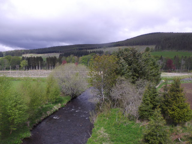
The hill is situated within the Cairngorms National Park, a vast protected area known for its diverse wildlife and stunning landscapes. Cultorden Hill offers breathtaking panoramic views of the surrounding countryside, with its rugged slopes covered in heather and scattered with granite outcrops.
The summit of Cultorden Hill is accessible via a well-defined path, making it a popular destination for hikers and outdoor enthusiasts. The trail up the hill is relatively moderate, although some sections may require a bit of scrambling over rocky terrain. From the top, visitors are rewarded with a spectacular vista that stretches across the Cairngorms and beyond.
Cultorden Hill is also known for its historical significance. During the Bronze Age, the hill was likely used as a site for ceremonies and rituals, as evidenced by the presence of several cairns and burial mounds in the vicinity. These ancient structures add an air of mystery and intrigue to the hill, attracting archaeology enthusiasts and history buffs.
Overall, Cultorden Hill is a captivating natural landmark that offers both stunning views and a glimpse into the region's rich past. Its accessibility and unique features make it a must-visit destination for those exploring Aberdeenshire's natural wonders.
If you have any feedback on the listing, please let us know in the comments section below.
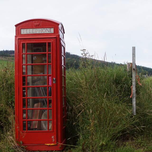
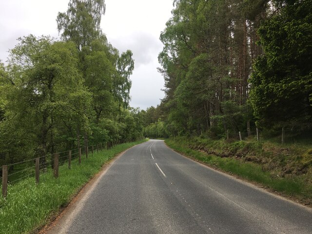
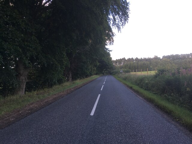
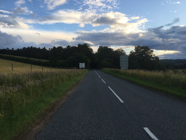
Cultorden Hill Images
Images are sourced within 2km of 57.188739/-2.9991799 or Grid Reference NJ3911. Thanks to Geograph Open Source API. All images are credited.


Cultorden Hill is located at Grid Ref: NJ3911 (Lat: 57.188739, Lng: -2.9991799)
Unitary Authority: Aberdeenshire
Police Authority: North East
What 3 Words
///eyepieces.rejoined.club. Near Ballater, Aberdeenshire
Nearby Locations
Related Wikis

Castle Newe
Castle Newe was a castellated mansion house, situated in Aberdeenshire, and designed in 1831 by Archibald Simpson. It was based on an existing Z-plan castle...
Colquhonnie Castle
Colquhonnie Castle is a ruined 16th-century tower house, about 10.5 miles (16.9 km) north of Ballater, Aberdeenshire, Scotland, around 1.0 mile (1.6 km...

Glenbuchat Castle
Glenbuchat Castle is a historic Z plan Scottish castle built in 1590 for John Gordon of Cairnbarrow to mark his wedding. It is located above the River...
Glenkindie Castle
Glenkindie Castle was a 16th-century castle, about 3 miles (4.8 km) south-west of Kildrummy, Aberdeenshire, Scotland, at Glenkindie, north of the River...
Nearby Amenities
Located within 500m of 57.188739,-2.9991799Have you been to Cultorden Hill?
Leave your review of Cultorden Hill below (or comments, questions and feedback).