Batcho Hill
Hill, Mountain in Herefordshire
England
Batcho Hill

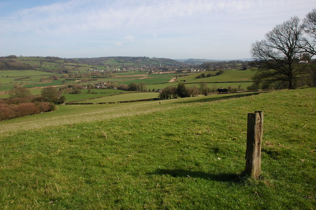
Batcho Hill is a prominent geographical feature located in the county of Herefordshire, England. It is classified as a hill, rather than a mountain, owing to its elevation and topographical characteristics. Situated in the western part of the county, Batcho Hill is part of the Malvern Hills Area of Outstanding Natural Beauty and lies within the Malvern Hills District.
At an elevation of approximately 357 meters (1,171 feet), Batcho Hill offers breathtaking panoramic views of the surrounding landscape. The hill is characterized by its distinctive shape, with a gentle gradient on one side and a steeper incline on the other. It is primarily composed of sedimentary rock, namely sandstone and limestone, which adds to its geological significance.
The flora and fauna found on Batcho Hill are diverse and abundant, with a variety of plant species covering its slopes, including wildflowers, grasses, and shrubs. The hill is also home to a range of wildlife, such as rabbits, foxes, and a variety of bird species, making it a popular destination for nature enthusiasts and birdwatchers.
Batcho Hill has historical and cultural importance as well. It is believed to have been the site of an ancient hillfort, with remnants of earthworks and defensive structures still visible in certain areas. The hill offers visitors the opportunity to explore these archaeological features and learn about the area's rich past.
With its natural beauty, ecological significance, and historical value, Batcho Hill is a cherished landmark in Herefordshire, attracting both locals and tourists who seek to immerse themselves in the region's natural and cultural heritage.
If you have any feedback on the listing, please let us know in the comments section below.
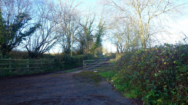
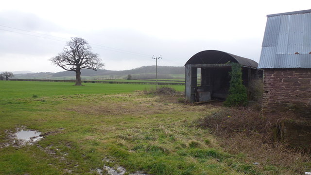
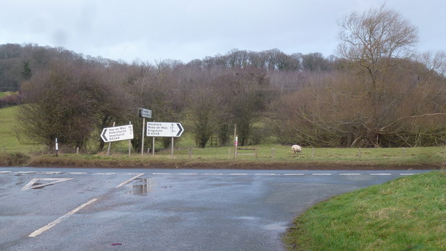
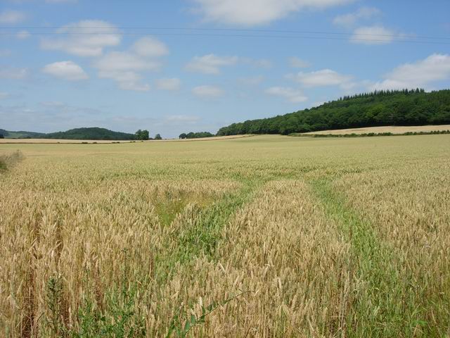
Batcho Hill Images
Images are sourced within 2km of 52.021872/-2.8824572 or Grid Reference SO3936. Thanks to Geograph Open Source API. All images are credited.


Batcho Hill is located at Grid Ref: SO3936 (Lat: 52.021872, Lng: -2.8824572)
Unitary Authority: County of Herefordshire
Police Authority: West Mercia
What 3 Words
///educated.guests.protected. Near Tyberton, Herefordshire
Nearby Locations
Related Wikis

Kingstone High School
Kingstone High School is a mixed secondary school located in Kingstone in the English county of Herefordshire. Previously a community school administered...
RAF Madley
Royal Air Force Madley, or more simply RAF Madley, was a Royal Air Force station situated 6.2 miles (10 km) south west of Hereford in Herefordshire, England...
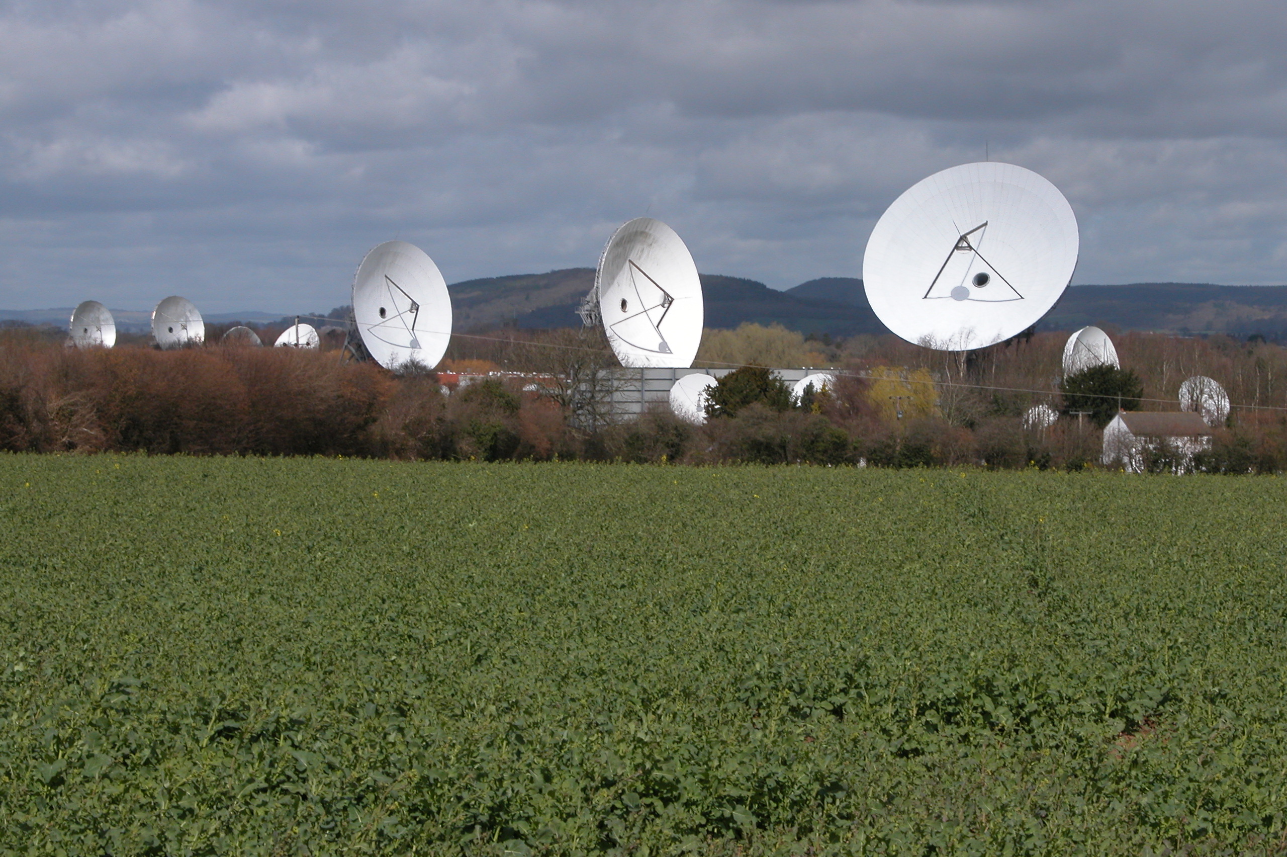
Madley Communications Centre
Madley Communications Centre is BT Group's earth satellite tracking station, between Madley and Kingstone, Herefordshire, England. == Earth position... ==
Golden Valley (Herefordshire)
The Golden Valley is the name given to the valley of the River Dore in western Herefordshire, England. The valley is a picturesque area of gently rolling...
Have you been to Batcho Hill?
Leave your review of Batcho Hill below (or comments, questions and feedback).