Craig Maskeldie
Hill, Mountain in Angus
Scotland
Craig Maskeldie

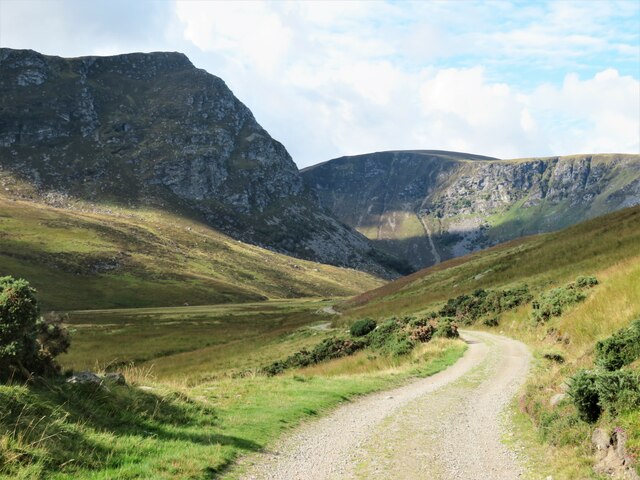
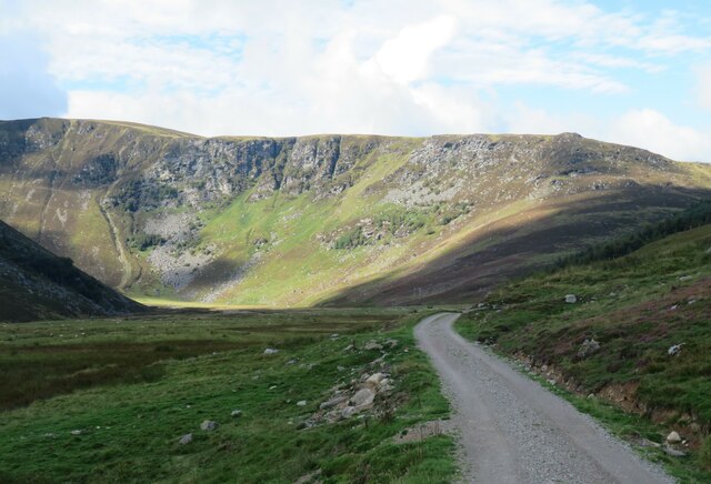
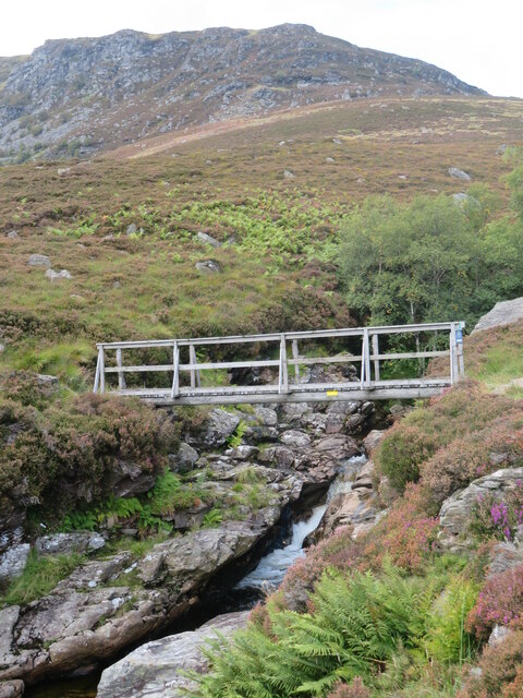
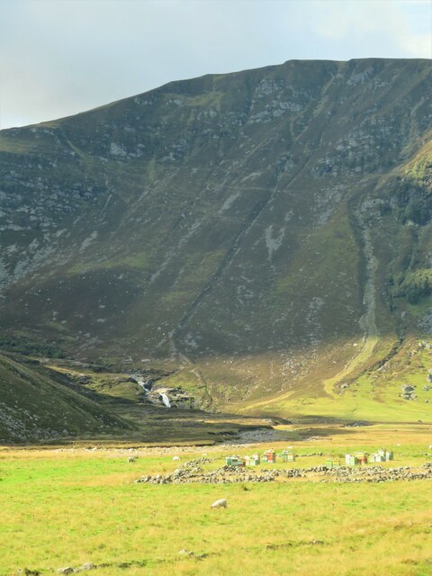
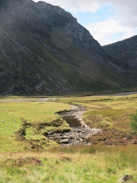
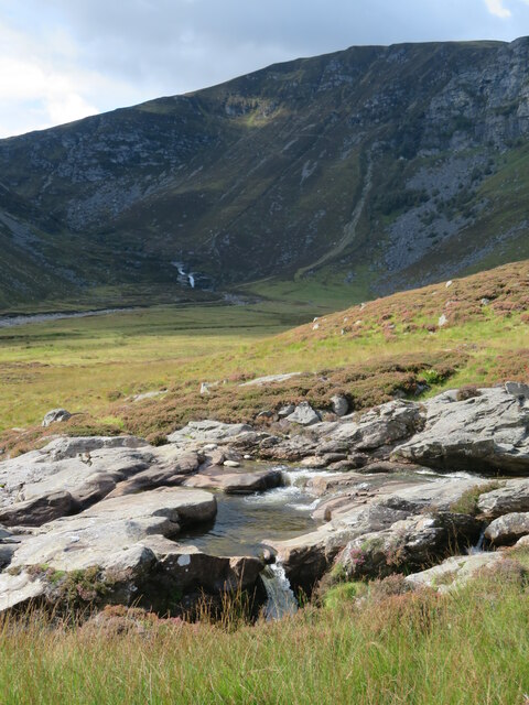
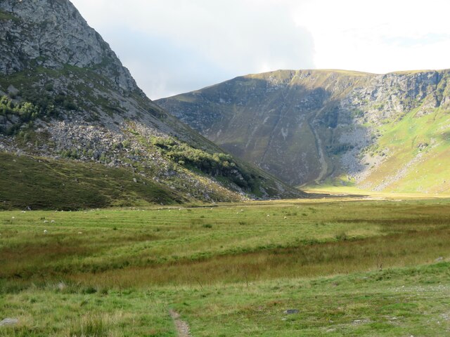
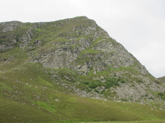
Craig Maskeldie is a hill located in the Angus region of Scotland. Standing at an elevation of around 616 meters (2,021 feet), it forms part of the Grampian Mountains which stretch across the eastern part of the country. The hill is known for its rugged and rocky terrain, providing a challenging but rewarding ascent for hikers and mountaineers.
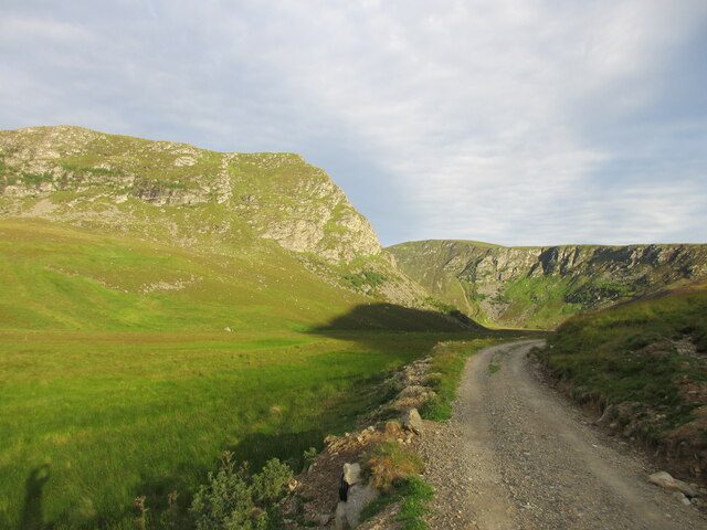
Craig Maskeldie offers stunning panoramic views of the surrounding landscape, including the neighboring hills and glens. Its prominent position allows visitors to appreciate the natural beauty of the region, with vast expanses of moorland and patches of heather dotting the landscape. On a clear day, it is even possible to catch glimpses of the North Sea in the distance.
The hill is home to a variety of wildlife, including red deer, mountain hares, and various bird species. Its remote location and untouched nature make it an ideal habitat for these animals, adding to the appeal for nature enthusiasts and wildlife photographers.
While Craig Maskeldie may not be as well-known as some of the larger peaks in the area, its charm lies in its tranquility and unspoiled nature. It offers a peaceful retreat for those seeking to escape the hustle and bustle of everyday life and connect with nature. Whether it's a challenging hike or simply a leisurely stroll, Craig Maskeldie has something to offer for everyone.
If you have any feedback on the listing, please let us know in the comments section below.
Craig Maskeldie Images
Images are sourced within 2km of 56.904651/-3.0009712 or Grid Reference NO3979. Thanks to Geograph Open Source API. All images are credited.
![Glenlee cottage Abandoned, boarded up, and with some slates missing from the roof, one wonders if this little building is in terminal decline. Previous 'geograph' contributors have shown the building almost surrounded by mature conifers, but these have gone, to be replaced by a mix of both broadleaf [rowan, birch, oak etc] and conifer. Workers who had been bracken bashing inside the fenced off area reported a multitude of ticks [nasty] and a couple of adders [interesting].](https://s3.geograph.org.uk/geophotos/06/97/75/6977503_a00299eb.jpg)


Craig Maskeldie is located at Grid Ref: NO3979 (Lat: 56.904651, Lng: -3.0009712)
Unitary Authority: Angus
Police Authority: Tayside
What 3 Words
///sleeping.procured.overlaps. Near Ballater, Aberdeenshire
Nearby Locations
Related Wikis

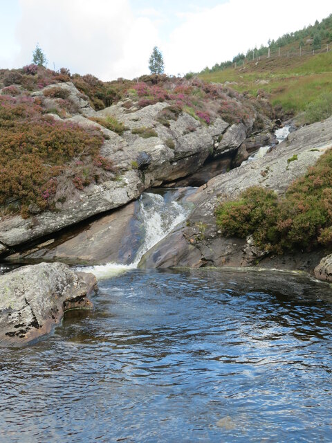
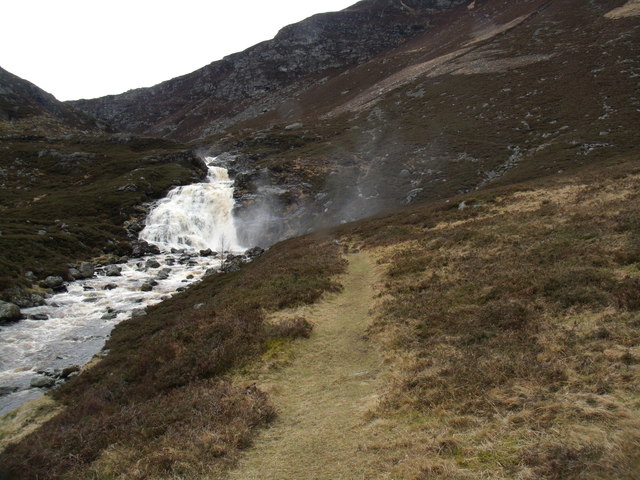
Falls of Unich
Falls of Unich is a waterfall of Scotland. == See also == Waterfalls of Scotland == References == Media related to Falls of Unich at Wikimedia Commons

Falls of Damff
Falls of Damff is a waterfall in Cairngorms National Park in Scotland. == See also == Waterfalls of Scotland == References ==

Loch Lee
National grid reference NO431800 Loch Lee is a loch in Angus, Scotland south of the Grampian Mountains that is fed by the Water of Lee and the Water of...

Glen Mark
Glen Mark is a glen in northern Angus, eastern Scotland, through which the Water of Mark flows. Near the mouth of the glen, at Auchronie, the Water of...

Invermark Lodge
Invermark Lodge is a hunting lodge which was built near Invermark Castle in 1852 for John Ramsay, 13th Earl of Dalhousie. It is now a listed building...

Invermark Castle
Invermark Castle is an oblong tower house dating from the 16th century, at the east of Loch Lee, Angus, Scotland. It is near the head of Glen Esk. ��2...

Ben Tirran
Ben Tirran (896 m) is a mountain in the Grampian Mountains of Scotland. It lies in the vast Mounth area of the eastern Highlands in Angus, on the northern...

Mount Keen
Mount Keen (Scottish Gaelic: Monadh Caoin) is a 939-metre-high (3,081 ft) mountain in Scotland and the most easterly Munro. It can be accessed from several...
Nearby Amenities
Located within 500m of 56.904651,-3.0009712Have you been to Craig Maskeldie?
Leave your review of Craig Maskeldie below (or comments, questions and feedback).