Adstone Hill
Hill, Mountain in Shropshire
England
Adstone Hill

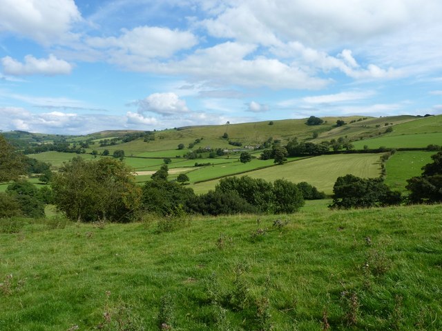
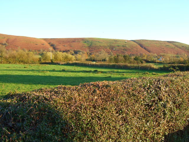
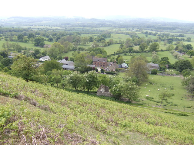
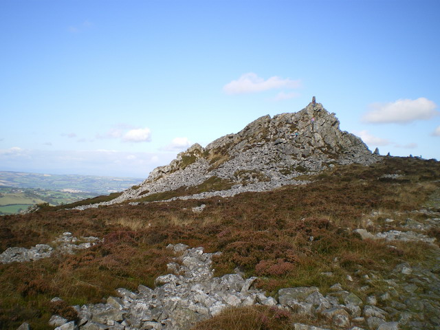
Adstone Hill is a prominent natural landmark located in the county of Shropshire, England. Situated near the village of Adstone, this hill is part of the Shropshire Hills Area of Outstanding Natural Beauty. Although referred to as a hill, it is often considered more of a small mountain due to its height and steep slopes. Rising to an elevation of approximately 403 meters (1,322 feet), Adstone Hill offers breathtaking panoramic views of the surrounding countryside.
The hill is predominantly composed of limestone, which is characteristic of the geology in the region. This geological makeup has resulted in the formation of several limestone outcrops and crags on the hill's slopes, adding to its visual appeal. The vegetation on Adstone Hill is diverse, with a rich blend of grasslands, heathlands, and scattered woodlands covering its surface.
Adstone Hill is a popular destination for outdoor enthusiasts and nature lovers alike. It offers various walking and hiking trails that cater to different fitness levels and abilities. The paths wind through the hill's lush greenery, providing opportunities to spot a wide range of flora and fauna, including elusive species such as the common lizard and the red kite.
In addition to its natural beauty, Adstone Hill is also known for its historical significance. The area is dotted with ancient archaeological remains, including Bronze Age burial mounds and Iron Age hillforts, providing insights into the region's rich cultural heritage.
Overall, Adstone Hill is an exceptional natural feature in Shropshire, offering visitors a chance to immerse themselves in the stunning scenery, explore its fascinating history, and experience the tranquility of the countryside.
If you have any feedback on the listing, please let us know in the comments section below.
Adstone Hill Images
Images are sourced within 2km of 52.548566/-2.902411 or Grid Reference SO3894. Thanks to Geograph Open Source API. All images are credited.


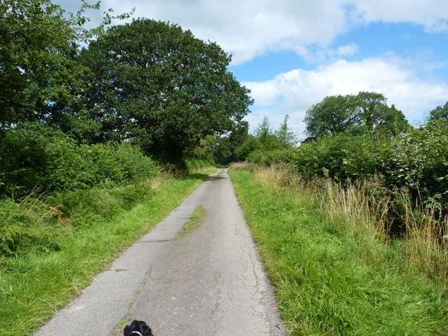
![Road junction at the Green Straight on for Shrewsbury [eventually], right for Wentnor and the Long Mynd.](https://s2.geograph.org.uk/geophotos/02/55/29/2552950_cb02723c.jpg)


Adstone Hill is located at Grid Ref: SO3894 (Lat: 52.548566, Lng: -2.902411)
Unitary Authority: Shropshire
Police Authority: West Mercia
What 3 Words
///adopters.energy.barmaid. Near Norbury, Shropshire
Nearby Locations
Related Wikis
Prolley Moor
Prolley Moor (also known as Prolly Moor) is a small dispersed settlement in Shropshire, England, based around a cross roads. The settlement is located...

Wentnor
Wentnor is a village and civil parish in Shropshire, England. It lies to the west of the Long Mynd and between the village and the hill range is the dispersed...
Ratlinghope
Ratlinghope (, locally also RAT-chəp) is a hamlet and civil parish in Shropshire, England. The population of the civil parish at the 2011 census was 138...

Norbury, Shropshire
Norbury (/norð burh/) is a small village and civil parish in Shropshire, England. It lies to the west of the Long Mynd and the nearest town is Bishop's...
Asterton
Asterton is a hamlet in Shropshire, England, in the civil parish of Myndtown. The name means "eastern home farm", from Old English east "east" and "ham...

Long Mynd
The Long Mynd (Welsh: Cefn Hirfynydd) is a heath and moorland plateau that forms part of the Shropshire Hills in Shropshire, England. The high ground,...
Stiperstones
The Stiperstones (Welsh: Carneddau Teon) is a distinctive hill in the county of Shropshire, England. The quartzite rock of the ridge formed some 480 million...

Linley, More
Linley is a hamlet in the civil parish of More, in Shropshire, England. The hamlet is located approximately 2 miles (3.2 km) east of the A488 road, and...
Nearby Amenities
Located within 500m of 52.548566,-2.902411Have you been to Adstone Hill?
Leave your review of Adstone Hill below (or comments, questions and feedback).