Banwell Hill

Hill, Mountain in Somerset

England

Banwell Hill

Looking SSE from Winthill, near Banwell Looking South South East from Winthill, near Banwell and Weston-super-Mare. Brent Knoll is on the far right.
Looking SSE from Winthill, near Banwell Credit: Colin S Pearson

Banwell Hill is a prominent hill located in the county of Somerset, England. Situated near the village of Banwell, the hill is part of the Mendip Hills range, renowned for its stunning natural beauty and geological significance. Banwell Hill stands at an elevation of approximately 200 meters (656 feet) above sea level, making it a notable landmark in the region.

The hill offers breathtaking panoramic views of the surrounding countryside, including the Somerset Levels to the south and the Bristol Channel to the west. It is covered in lush green vegetation, with scattered trees dotting the landscape. The area is home to various wildlife species, such as rabbits, foxes, and a diverse range of bird species, making it a popular spot for nature enthusiasts and birdwatchers.

Banwell Hill is also notable for its historical and archaeological significance. The hill is home to Banwell Camp, an Iron Age hillfort that dates back to around 2,500 years ago. The fort covers an area of approximately four hectares and is surrounded by defensive ditches. Archaeological excavations have revealed artifacts and evidence of Iron Age occupation, providing valuable insights into the region's ancient past.

Due to its natural beauty and historical significance, Banwell Hill attracts visitors throughout the year. The hill offers several walking trails and paths for hikers, allowing them to explore the area and soak in its scenic beauty. The summit of the hill is accessible via a footpath and offers magnificent views, making it a popular destination for tourists and locals alike.

If you have any feedback on the listing, please let us know in the comments section below.
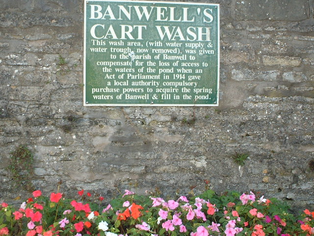
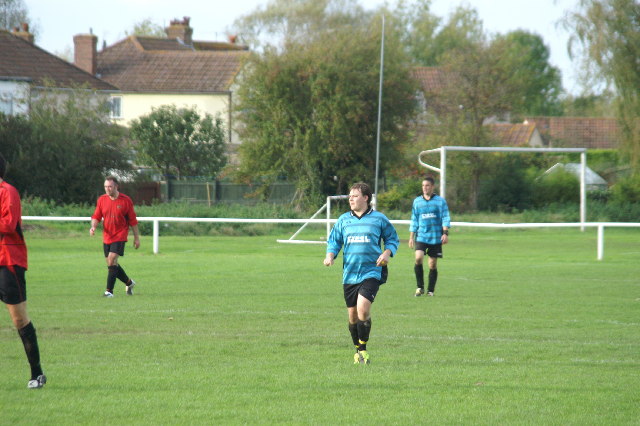
Banwell Hill Images

Images are sourced within 2km of 51.324243/-2.878987 or Grid Reference ST3858. Thanks to Geograph Open Source API. All images are credited.

Looking SSE from Winthill, near Banwell Looking South South East from Winthill, near Banwell and Weston-super-Mare. Brent Knoll is on the far right.
Looking SSE from Winthill, near Banwell
Looking South South East from Winthill, near Banwell and Weston-super-Mare. Brent Knoll is on the far right.
Sign in Banwell The site of Banwells former cart wash
Sign in Banwell
The site of Banwells former cart wash
Football Match Banwell Reserves 2 V Westside 4 (Blue Kit) At Banwell's Football Ground
Football Match
Banwell Reserves 2 V Westside 4 (Blue Kit) At Banwell's Football Ground
Banwell Village Bowling Green The green is built on the site of a pond that was filled in.
Banwell Village Bowling Green
The green is built on the site of a pond that was filled in.
Elborough Housing Park House built on the old site of Bristol Aerojets engineering works.
Elborough Housing Park
House built on the old site of Bristol Aerojets engineering works.
Hillend Farm Hillend farm with Benthills wood in the background.
Hillend Farm
Hillend farm with Benthills wood in the background.
Caves Banwell Bone Caves. See <span class="nowrap"><a title="http://en.wikipedia.org/wiki/Banwell_Caves" rel="nofollow ugc noopener" href="http://en.wikipedia.org/wiki/Banwell_Caves">Link</a><img style="margin-left:2px;" alt="External link" title="External link - shift click to open in new window" src="https://s1.geograph.org.uk/img/external.png" width="10" height="10"/></span>
Caves
Banwell Bone Caves. See LinkExternal link
Field View of fields from Yarberry Farm.
Field
View of fields from Yarberry Farm.
Fields Taken from Yarberry Farm
Fields
Taken from Yarberry Farm
Max Mill The water powered corn mill that once stood here was still powered by its overshot wheel in the 20th century. The mill was described by name in a document dated 1319.
Max Mill
The water powered corn mill that once stood here was still powered by its overshot wheel in the 20th century. The mill was described by name in a document dated 1319.
Banwell Castle Open to the public for Teas, great views towards Winscombe.
Banwell Castle
Open to the public for Teas, great views towards Winscombe.
Apple Orchard in Christon Mistletoe can be seen in the trees.
Apple Orchard in Christon
Mistletoe can be seen in the trees.
Summer Lane Near Banwell
Summer Lane
Near Banwell
View from Banwell Castle The view from the main bedroom in the keep at Banwell Castle
View from Banwell Castle
The view from the main bedroom in the keep at Banwell Castle
Banwell Castle Looking towards the castle from the castle grounds
Banwell Castle
Looking towards the castle from the castle grounds
Looking across Banwell Castle grounds Looking across the countryside away from Banwell Castle
Looking across Banwell Castle grounds
Looking across the countryside away from Banwell Castle
Traffic in West Street Banwell Why Banwell needs a bypass!
Traffic in West Street Banwell
Why Banwell needs a bypass!
Field by Hutton and Locking Rhyne From a bend in the lane past Elborough. The rhyne runs along the left side of this field.
Field by Hutton and Locking Rhyne
From a bend in the lane past Elborough. The rhyne runs along the left side of this field.
Show me another place!

Banwell Hill is located at Grid Ref: ST3858 (Lat: 51.324243, Lng: -2.878987)

Unitary Authority: North Somerset

Police Authority: Avon and Somerset

What 3 Words

///inventors.logged.deprive. Near Banwell, Somerset

Nearby Locations

Banwell Hill Whitley Head

Related Wikis

Banwell Caves

Banwell Caves (grid reference ST383588) are a 1.7-hectare geological and biological Site of Special Scientific Interest near the village of Banwell, North...

Banwell

Banwell is a village and civil parish on the River Banwell in the North Somerset district of Somerset, England. Its population was 3,251 according to the...

Banwell Castle

Banwell Castle is a Victorian Gothic Revival mansion in Banwell, Somerset, England. It is a Grade II* listed building. == History == The land on which...

Banwell Ochre Caves

Banwell Ochre Caves (grid reference ST407593) are a 12.46-hectare geological Site of Special Scientific Interest near the village of Banwell, North Somerset...

Nearby Amenities

Located within 500m of 51.324243,-2.878987
Banwell Hill
Natural: peak
Source: New Popular Edition
Lat/Long: 51.3239909/-2.8794828
Barrier: stile
Lat/Long: 51.3215814/-2.8745994
Addr Housename: Warren Cottage
Addr Housenumber: Warren Cottage
Source: OS_OpenData_StreetView
Lat/Long: 51.3223588/-2.8737191
Whitley Head
Place: hamlet
Source: OS_OpenData_StreetView
Lat/Long: 51.3234181/-2.8858427
Banwell Tower
Access: permissive
Man Made: tower
Source: GPS
Lat/Long: 51.324294/-2.8803882
Bench
Source: GPS
Lat/Long: 51.324289/-2.8803385
Bench
Source: GPS
Lat/Long: 51.3243058/-2.8804324
Gazebo
Source: GPS
Lat/Long: 51.3243929/-2.8848903
Barrier: stile
Lat/Long: 51.3222254/-2.8733237
Power: pole
Source: Bing
Lat/Long: 51.3281179/-2.8825434
Power: pole
Source: Bing
Lat/Long: 51.3282195/-2.8809998
Power: pole
Source: Bing
Lat/Long: 51.3283426/-2.879813
Post Box
Operator: Royal Mail
Post Box Type: wall
Ref: BS29 172
Lat/Long: 51.3269029/-2.874452
Generator Method: photovoltaic
Generator Output Electricity: yes
Generator Source: solar
Generator Type: solar_photovoltaic_panel
Location: roof
Power: generator
Lat/Long: 51.3273184/-2.874113
Generator Method: photovoltaic
Generator Output Electricity: yes
Generator Source: solar
Generator Type: solar_photovoltaic_panel
Location: roof
Power: generator
Lat/Long: 51.327605/-2.8743464
Generator Method: photovoltaic
Generator Output Electricity: yes
Generator Source: solar
Generator Type: solar_photovoltaic_panel
Location: roof
Power: generator
Lat/Long: 51.3278999/-2.8747916
Power: pole
Lat/Long: 51.3218371/-2.8741618
Power: pole
Lat/Long: 51.3211082/-2.8744861
Power: pole
Lat/Long: 51.3203422/-2.8756741
Barrier: stile
Lat/Long: 51.3210092/-2.8752235
The data included in this document is from www.openstreetmap.org. The data is made available under ODbL.

Have you been to Banwell Hill?

Leave your review of Banwell Hill below (or comments, questions and feedback).