Brown Hill
Hill, Mountain in Banffshire
Scotland
Brown Hill
Brown Hill is a prominent peak located in the region of Banffshire, Scotland. Standing at an elevation of approximately 540 meters (1,772 feet), it offers breathtaking panoramic views of the surrounding landscape. This hill is situated within the picturesque Cairngorms National Park, renowned for its stunning natural beauty and diverse wildlife.
Brown Hill is characterized by its distinctive shape and rugged terrain. Its slopes are primarily covered in heather, grasses, and scattered patches of woodland, creating a vibrant tapestry of colors throughout the year. The hill's summit provides a magnificent vantage point, allowing visitors to gaze across the undulating hills and valleys, and on clear days, even catch glimpses of the North Sea in the distance.
The ascent to the summit of Brown Hill is accessible via various walking trails, ensuring that hikers of all abilities can enjoy this remarkable natural landmark. The paths wind through the enchanting Scottish countryside, offering opportunities to spot native wildlife such as red deer, golden eagles, and mountain hares.
Brown Hill holds historical significance as well, with ancient burial cairns and standing stones dotting its slopes. These archaeological remnants provide insight into the area's past, offering a glimpse into the lives of those who once inhabited this rugged terrain.
Whether it be for hiking, photography, or simply immersing oneself in nature's wonders, Brown Hill in Banffshire is a destination that captivates visitors with its striking beauty and rich history.
If you have any feedback on the listing, please let us know in the comments section below.
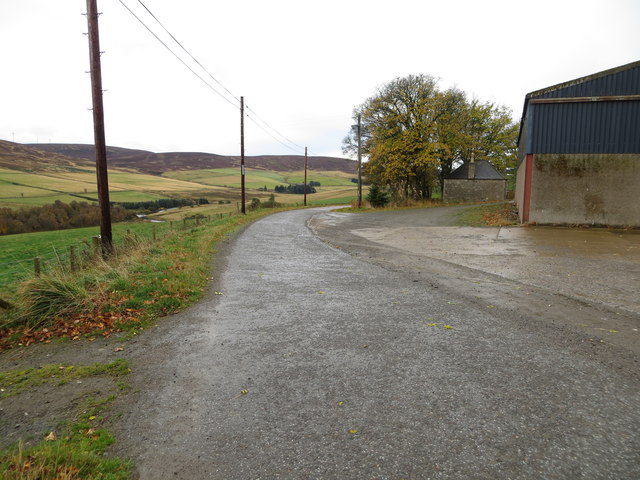
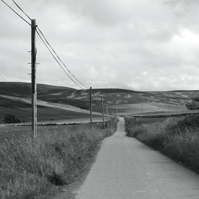
Brown Hill Images
Images are sourced within 2km of 57.396621/-3.0230024 or Grid Reference NJ3834. Thanks to Geograph Open Source API. All images are credited.


Brown Hill is located at Grid Ref: NJ3834 (Lat: 57.396621, Lng: -3.0230024)
Unitary Authority: Moray
Police Authority: North East
What 3 Words
///presume.cooked.jams. Near Dufftown, Moray
Nearby Locations
Related Wikis
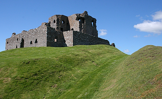
Auchindoun Castle
Auchindoun Castle is a 15th-century L-Plan tower castle located in Auchindoun near Dufftown in Moray, Scotland. == History == While there is evidence of...

Beldorney Castle
Beldorney Castle is a Z-plan castle dating from the mid-16th century, about two miles south of Glass, in hilly country in the valley of the Deveron, in...

Glass, Aberdeenshire
Glass is a parish about 8 miles west of Huntly, Aberdeenshire, Scotland. It is now wholly located in Aberdeenshire but before the reorganisation of Scottish...
Auchindoun, Moray
Auchindoun (Scottish Gaelic: Achadh an Dùin) is a rural hamlet in Moray, Scotland. It is located some 2.5 miles east of Dufftown, which describes itself...
Have you been to Brown Hill?
Leave your review of Brown Hill below (or comments, questions and feedback).