Brown Hills

Hill, Mountain in Cumberland Eden

England

Brown Hills

Dead tree near Groove Gill Dead tree near Groove Gill.
Dead tree near Groove Gill Credit: Colin Kinnear

Brown Hills is a prominent hill located in Cumberland County, a picturesque region in the state of Tennessee, United States. With an elevation of approximately 1,200 feet (366 meters), it stands as one of the tallest peaks in the county and offers breathtaking panoramic views of the surrounding landscape.

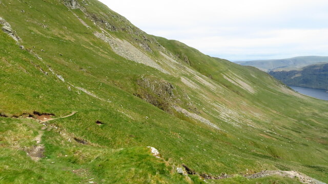
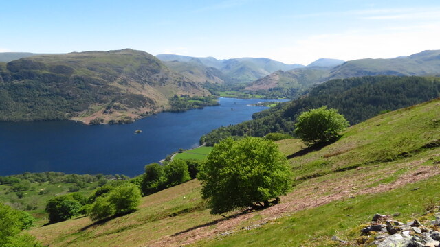
Situated within the Cumberland Plateau, Brown Hills is characterized by its rugged terrain, dense forests, and rocky slopes. The hill showcases a unique blend of natural beauty and geological formations, with its brownish-red soil giving it its distinctive name. Its slopes are covered with a variety of trees, including oak, hickory, and pine, providing a haven for numerous wildlife species.

Hikers and outdoor enthusiasts are drawn to Brown Hills for its extensive network of trails, offering opportunities for exploration and adventure. These trails meander through the hill's diverse ecosystem, allowing visitors to immerse themselves in the region's natural wonders. It is not uncommon to encounter wildlife such as deer, squirrels, and various bird species along the way.

Moreover, Brown Hills is also a cherished spot for birdwatching enthusiasts, as the area attracts a wide array of migratory birds due to its strategic location along their routes. Throughout the year, the hill becomes a haven for bird species such as warblers, thrushes, and woodpeckers.

With its captivating scenery, abundant wildlife, and recreational activities, Brown Hills stands as a beloved destination for nature lovers and adventurers alike, providing a unique opportunity to connect with the natural wonders of Cumberland County.

If you have any feedback on the listing, please let us know in the comments section below.
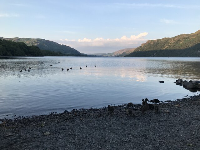
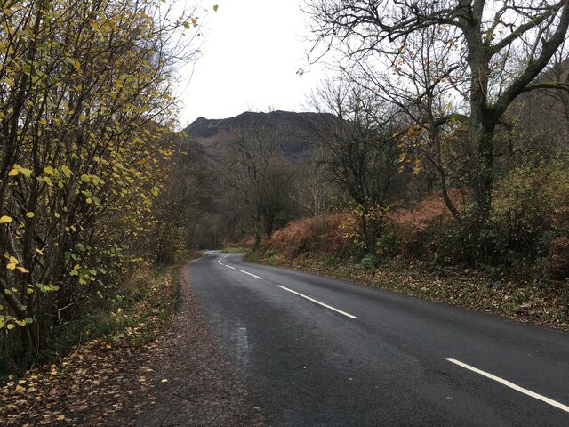
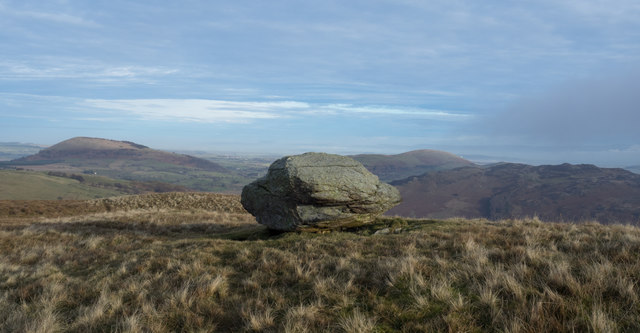
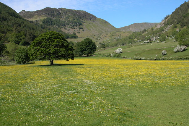
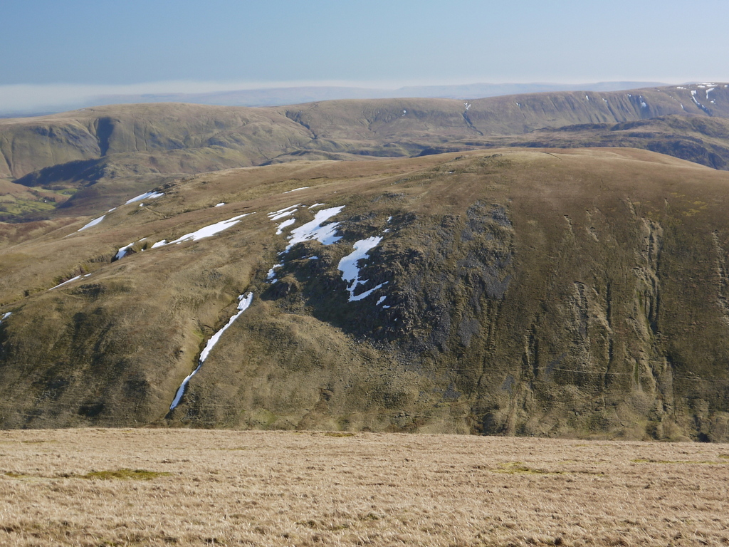
Brown Hills Images

Images are sourced within 2km of 54.566032/-2.9641479 or Grid Reference NY3719. Thanks to Geograph Open Source API. All images are credited.

Dead tree near Groove Gill Dead tree near Groove Gill.
Dead tree near Groove Gill
Dead tree near Groove Gill.
Path towards Dowthwaitehead
Minor road near Dowthwaitehead
Ruined building near Dowthwaitehead
Ullswater
Ullswater
A592 towards Glenridding
Summit cairn at Sheffield Pike & view to Ullswater
View towards Ullswater from path below Glencoyne Head
Path contouring around the northern side of Glencoyne
Glencoyne Head above Ullswater
Path below Brown Hills with a view towards Ullswater
Hill slope at Spying How with view towards Ullswater
Path on Birkett Fell
View down Glencoyne towards Ullswater An archetypal glacial valley. See <a href="https://www.geograph.org.uk/photo/7376571">NY3618 : View towards Ullswater from path below Glencoyne Head</a> for a similar view in 2022.
View down Glencoyne towards Ullswater
An archetypal glacial valley. See NY3618 : View towards Ullswater from path below Glencoyne Head for a similar view in 2022.
Boulder on Common Fell Common Fell is a relatively minor hill feature, part of Watermillock Common; the boulder lies just below the summit cairn. OS mapping seems to record the boulder as a cairn itself - clearly, it's not one! In the distance, Great Mell Fell lies at the left side of the image with Little Mell Fell being right of the boulder. Gowbarrow Fell is to the right of that and nearer.
Boulder on Common Fell
Common Fell is a relatively minor hill feature, part of Watermillock Common; the boulder lies just below the summit cairn. OS mapping seems to record the boulder as a cairn itself - clearly, it's not one! In the distance, Great Mell Fell lies at the left side of the image with Little Mell Fell being right of the boulder. Gowbarrow Fell is to the right of that and nearer.
Moorland of Watermillock Common The ridge beginning east from Hart Side narrows to the feature known as Brown Hills and then meanders becoming Watermillock Common and goes beyond over Common Hill and other minor rises. The nature of the ground varies; here on Watermillock Common it's moorland in character. The hill above the distant cragginess is High Brow. Blencathra lies beyond, largely concealed in cloud.
Moorland of Watermillock Common
The ridge beginning east from Hart Side narrows to the feature known as Brown Hills and then meanders becoming Watermillock Common and goes beyond over Common Hill and other minor rises. The nature of the ground varies; here on Watermillock Common it's moorland in character. The hill above the distant cragginess is High Brow. Blencathra lies beyond, largely concealed in cloud.
Slope of north side of Birkett Fell Birkett Fell is a part of Hart Side; its northern slope drops towards Dowthwaitehead which is out of view in the image, below and to the left. The sunlit ridge is Watermillock Common.
Slope of north side of Birkett Fell
Birkett Fell is a part of Hart Side; its northern slope drops towards Dowthwaitehead which is out of view in the image, below and to the left. The sunlit ridge is Watermillock Common.
Show me another place!

Brown Hills is located at Grid Ref: NY3719 (Lat: 54.566032, Lng: -2.9641479)

Administrative County: Cumbria

District: Eden

Police Authority: Cumbria

What 3 Words

///broadcast.unwound.answer. Near Keswick, Cumbria

Related Wikis

Sheffield Pike

Sheffield Pike (possibly meaning "the peak above the sheep fold") is a fell in the English Lake District, a prominent intermediate top on one of the eastern...

Hart Side

Hart Side (the hill side frequented by harts) is a subsidiary top on one of the east ridges of Stybarrow Dodd, which is a mountain (or fell) in the English...

Glenridding Dodd

Glenridding Dodd (the rounded hill above Glenridding) is a small fell in the English Lake District, at the end of a ridge descending from the Helvellyn...
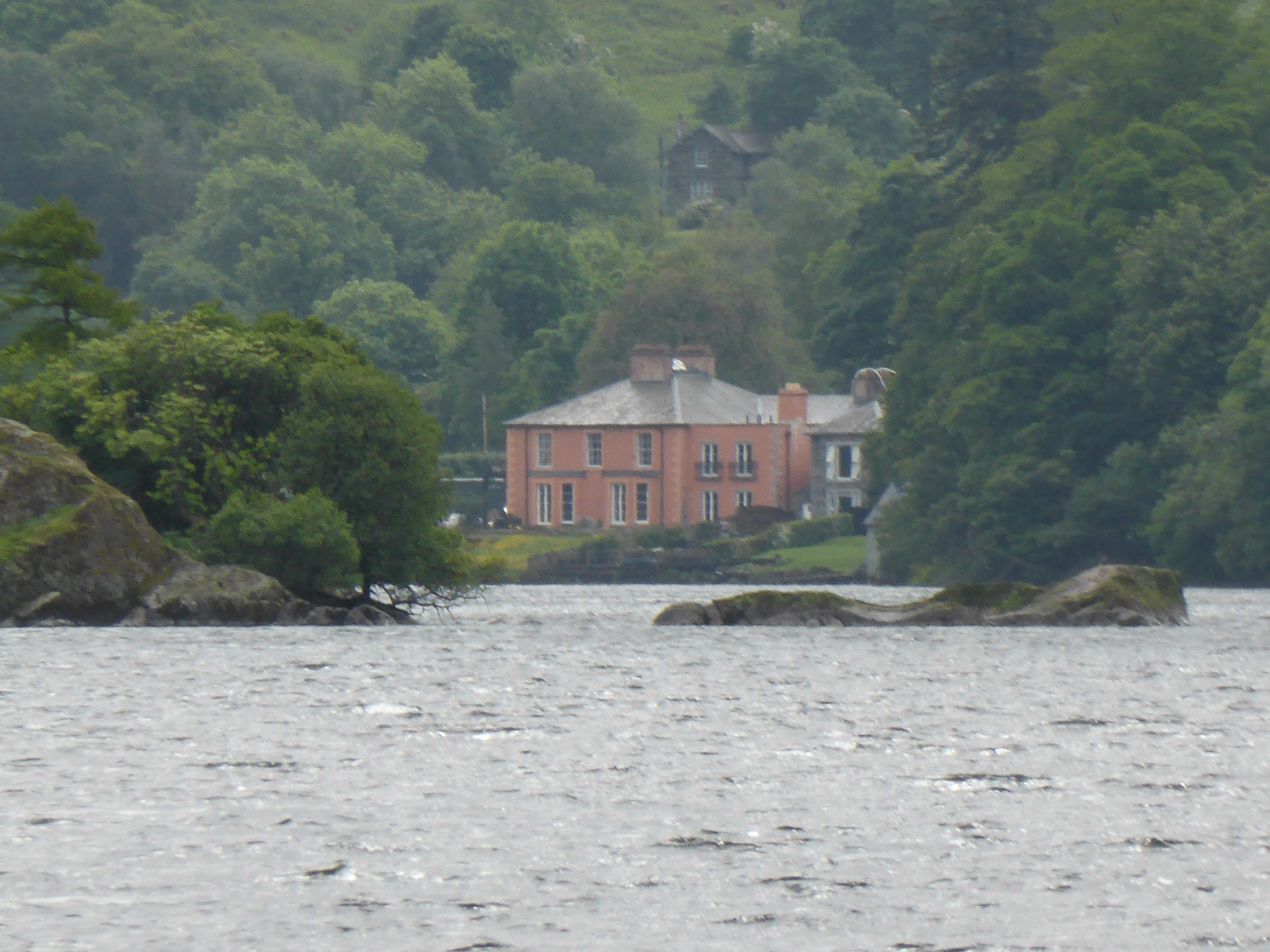
Glenridding House

Glenridding House is a Regency era building in Glenridding on Ullswater, constructed between 1807 and 1814. It was a private summer villa until about 1860...

Nearby Amenities

Located within 500m of 54.566032,-2.9641479
Brown Hills
Ele: 551
Natural: peak
Source: npe
Lat/Long: 54.5658803/-2.9668404
Barrier: stile
Source: survey
Lat/Long: 54.5656097/-2.9621147
Glencoyne Brow
Place: locality
Lat/Long: 54.5619668/-2.9650072
Bell Knott
Place: locality
Lat/Long: 54.5645455/-2.958629
Swinside Knott
Place: locality
Lat/Long: 54.5697237/-2.9612896
Latterbrow Gill
Place: locality
Lat/Long: 54.5633718/-2.9642722
The data included in this document is from www.openstreetmap.org. The data is made available under ODbL.

Have you been to Brown Hills?

Leave your review of Brown Hills below (or comments, questions and feedback).