Carran Hill

Hill, Mountain in Banffshire

Scotland

Carran Hill

A920 towards Huntly
A920 towards Huntly Credit: Steven Brown

Carran Hill is a prominent hill located in the county of Banffshire, Scotland. Rising to an elevation of 618 meters (2,028 feet), it is classified as a Corbett, which is a term used to describe Scottish hills between 2,500 and 3,000 feet in height.

Situated near the village of Tomintoul, Carran Hill offers breathtaking panoramic views of the surrounding Cairngorms National Park. The hill is known for its distinctive conical shape, with its summit offering a relatively flat and grassy terrain.

The ascent of Carran Hill is considered moderate in difficulty, with several established walking routes available for hikers and outdoor enthusiasts. The most popular route starts at the Glenavon Bridge, which crosses the River Avon, and follows a well-marked path through a mixture of moorland, grassy slopes, and heather-covered terrain. The trail provides opportunities to spot local wildlife such as red deer, mountain hares, and various bird species.

Reaching the summit of Carran Hill rewards visitors with stunning vistas of the surrounding Speyside region, including the majestic Cairngorm Mountains and the expansive Glenlivet Estate. On a clear day, it is even possible to catch a glimpse of the North Sea coastline in the distance.

Carran Hill is a popular destination for hillwalkers and nature lovers seeking a relatively accessible and rewarding outdoor adventure. Its natural beauty, diverse flora and fauna, and stunning vistas make it a must-visit location for those exploring the Banffshire region.

If you have any feedback on the listing, please let us know in the comments section below.
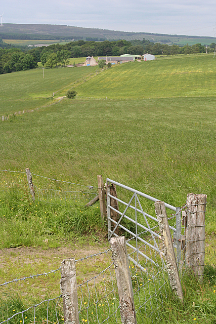
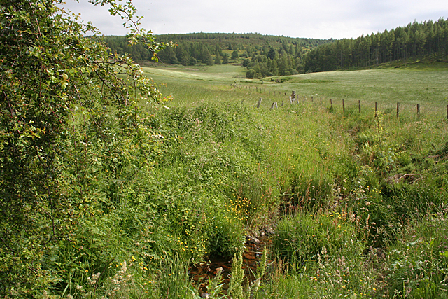
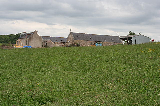
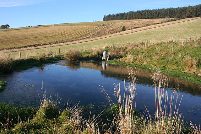
Carran Hill Images

Images are sourced within 2km of 57.458194/-3.0402228 or Grid Reference NJ3741. Thanks to Geograph Open Source API. All images are credited.

A920 towards Huntly
A920 towards Huntly
A920 towards Dufftown
Road to the Moor This road leads up on to the moors from the A920. The object that looks like a gravestone is <a href="https://www.geograph.org.uk/photo/3190364">NJ3739 : Memorial Well</a>.
Road to the Moor
This road leads up on to the moors from the A920. The object that looks like a gravestone is NJ3739 : Memorial Well.
Memorial Well The inscription on the well reads, "Erected in recognition of Dr C G Grant's valuable help and generosity towards formation if this road. Opened Nov 21 1914."
Memorial Well
The inscription on the well reads, "Erected in recognition of Dr C G Grant's valuable help and generosity towards formation if this road. Opened Nov 21 1914."
Bakebare A traditional cottage and a modern bungalow on the site of the farm buildings at Bakebare.
Bakebare
A traditional cottage and a modern bungalow on the site of the farm buildings at Bakebare.
Belnascoug Or, rather, the site where Belnascoug once stood. From the Ordnance Survey 25-inch-to-the-mile map published in 1868, it looks as if the steading was between the two trees (though they may not have been there at that time) and the house was at right angles to the steading, on the other side of the track which runs along this side of the fence. The farmer dug up the last vestiges of the masonry fifteen or twenty years ago.
Belnascoug
Or, rather, the site where Belnascoug once stood. From the Ordnance Survey 25-inch-to-the-mile map published in 1868, it looks as if the steading was between the two trees (though they may not have been there at that time) and the house was at right angles to the steading, on the other side of the track which runs along this side of the fence. The farmer dug up the last vestiges of the masonry fifteen or twenty years ago.
The Scug On the right is the edge of Scug Wood, and the dip in the middle distance is where the Burn of Aultnaknowe runs.
The Scug
On the right is the edge of Scug Wood, and the dip in the middle distance is where the Burn of Aultnaknowe runs.
Balnascoog Or, rather, the site where Balnascoog once stood. From the Ordnance Survey 25-inch-to-the-mile map published in 1868, it looks as if the steading was to the left of the half-dead tree (though it may not have been there at that time) and the house was at right angles to the steading, on this side of the fence, which explains why there is a kink in the line of the fence. The farmer dug up the last vestiges of the masonry fifteen or twenty years ago.
Balnascoog
Or, rather, the site where Balnascoog once stood. From the Ordnance Survey 25-inch-to-the-mile map published in 1868, it looks as if the steading was to the left of the half-dead tree (though it may not have been there at that time) and the house was at right angles to the steading, on this side of the fence, which explains why there is a kink in the line of the fence. The farmer dug up the last vestiges of the masonry fifteen or twenty years ago.
Looking towards Blackmuir The farm of Blackmuir is only a few hundred yards away, but it is in the next square. The fence follows the line of an old track.
Looking towards Blackmuir
The farm of Blackmuir is only a few hundred yards away, but it is in the next square. The fence follows the line of an old track.
Burn of Aultnaknowe The burn drains the eastern slopes of Scug Wood, which is to the right here. The water is barely visible among the lush vegetation following recent wet weather.
Burn of Aultnaknowe
The burn drains the eastern slopes of Scug Wood, which is to the right here. The water is barely visible among the lush vegetation following recent wet weather.
Blackmuir The house at Blackmuir is undergoing renovation after changing hands.
Blackmuir
The house at Blackmuir is undergoing renovation after changing hands.
Track to Scug Wood The two ruts parallel to the fence are the remains of a track which led from Glackmuck to Blackmuir via Belnascoug. This is where it crosses the Burn of Aultnaknowe.
Track to Scug Wood
The two ruts parallel to the fence are the remains of a track which led from Glackmuck to Blackmuir via Belnascoug. This is where it crosses the Burn of Aultnaknowe.
Glackmuck Looking across the Burn of Glack from the minor road near Midthird.
Glackmuck
Looking across the Burn of Glack from the minor road near Midthird.
Sheals Looking from the A920 across the intervening moor to the abandoned buildings at Sheals, its land reverting to boggy grassland.
Sheals
Looking from the A920 across the intervening moor to the abandoned buildings at Sheals, its land reverting to boggy grassland.
Harvesting at Newley Newley is one of several farms perched high above the Burn of Mackalea north of the A920.
Harvesting at Newley
Newley is one of several farms perched high above the Burn of Mackalea north of the A920.
Newley The Burn of Mackalea has been dammed here to create a pond, which makes a foreground for a view towards Newley above.
Newley
The Burn of Mackalea has been dammed here to create a pond, which makes a foreground for a view towards Newley above.
At Alnaboyle Looking up across the fields from Alnaboyle towards the forest plantation on the Hill of Alnaceo.
At Alnaboyle
Looking up across the fields from Alnaboyle towards the forest plantation on the Hill of Alnaceo.
Pond at Alnaboyle The water is crystal clear. It feeds into the oddly named Burn of Putup, the course of which forms the boundary between the fields beyond. The thing that looks like a rocket probably isn't; instead of a means of propulsion it contains food for game birds.
Pond at Alnaboyle
The water is crystal clear. It feeds into the oddly named Burn of Putup, the course of which forms the boundary between the fields beyond. The thing that looks like a rocket probably isn't; instead of a means of propulsion it contains food for game birds.
Show me another place!

Carran Hill is located at Grid Ref: NJ3741 (Lat: 57.458194, Lng: -3.0402228)

Unitary Authority: Moray

Police Authority: North East

What 3 Words

///dusters.obey.mandates. Near Dufftown, Moray

Related Wikis

Auchindoun, Moray

Auchindoun (Scottish Gaelic: Achadh an Dùin) is a rural hamlet in Moray, Scotland. It is located some 2.5 miles east of Dufftown, which describes itself...

Drummuir Curlers' Platform railway station

Drummuir Curlers' Platform railway station was a private station opened on the Keith and Dufftown Railway for the use of the curlers belonging to the Drummuir...

Drummuir railway station

Drummuir railway station is a preserved station that serves the village of Drummuir, Moray, Scotland on the Keith and Dufftown Railway. The station also...

Drummuir

Drummuir (Scottish Gaelic: Druim Iubhair) is a small village in Scotland, in the traditional county of Banffshire, and in the Moray council area. It is...

Nearby Amenities

Located within 500m of 57.458194,-3.0402228
Carran Hill
Ele: 416
Natural: peak
Lat/Long: 57.4584253/-3.0405947
The data included in this document is from www.openstreetmap.org. The data is made available under ODbL.

Have you been to Carran Hill?

Leave your review of Carran Hill below (or comments, questions and feedback).