Bracken Hillock

Hill, Mountain in Banffshire

Scotland

Bracken Hillock

Swiss Cottage Compare with <a href="https://www.geograph.org.uk/photo/201210">NJ3659 : Swiss Cottage</a>. The vegetation has been cleared round the Swiss Cottage, and there is a building site fence round it and there are a portable building and toilet behind the photographer. The rumour locally is that it is to be restored for letting as a holiday cottage.
Swiss Cottage Credit: Anne Burgess

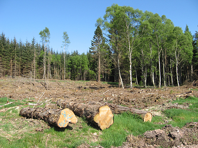
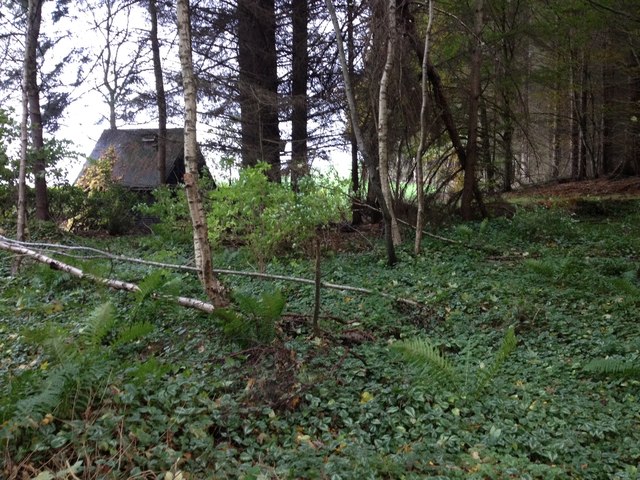
Bracken Hillock is a prominent hill located in the county of Banffshire, Scotland. Rising to an elevation of approximately 326 meters (1,070 feet), it offers breathtaking panoramic views of the surrounding countryside. Situated near the town of Keith, Bracken Hillock is a popular destination for hikers, nature enthusiasts, and outdoor adventurers.

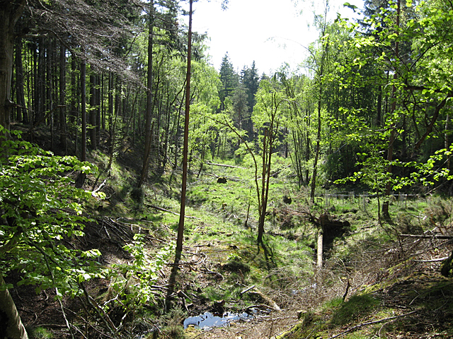
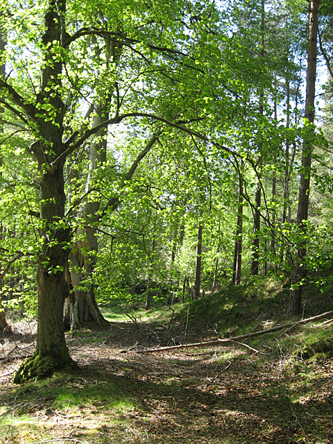
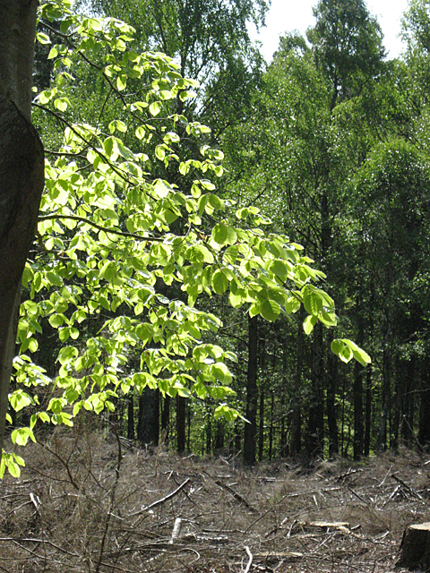
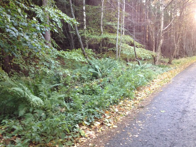
The hill is characterized by its undulating terrain, covered in a lush carpet of bracken ferns, after which it derives its name. These ferns create a vibrant green landscape during the summer months, while in autumn, they transform into a mesmerizing mix of red, orange, and golden hues. These seasonal changes give Bracken Hillock a unique charm throughout the year.

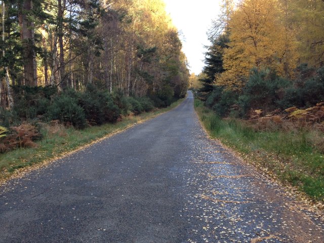
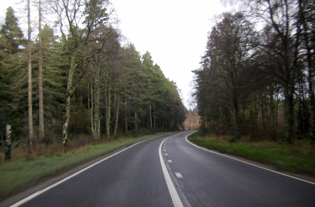
The ascent to the summit of Bracken Hillock is moderately challenging, with a well-defined path that winds through heather-covered slopes and rocky outcrops. As one climbs higher, the views become increasingly captivating, encompassing the rolling hills of Banffshire, the Grampian Mountains, and the sparkling waters of the North Sea in the distance.

Wildlife is abundant on Bracken Hillock, with a variety of bird species, including peregrine falcons and golden eagles, often spotted soaring overhead. The hill is also home to roe deer, rabbits, and a diverse range of plant species, making it a haven for nature enthusiasts and photographers.

Whether it's for a leisurely stroll or a challenging hike, Bracken Hillock offers a memorable outdoor experience, allowing visitors to immerse themselves in the natural beauty of this picturesque region of Scotland.

If you have any feedback on the listing, please let us know in the comments section below.

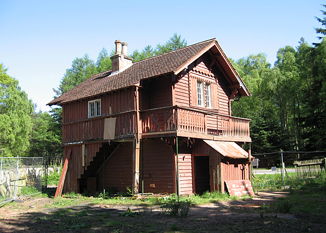
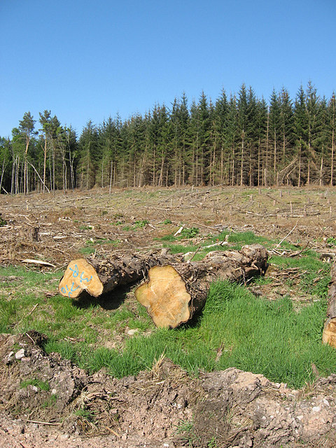
Bracken Hillock Images

Images are sourced within 2km of 57.629125/-3.0541822 or Grid Reference NJ3760. Thanks to Geograph Open Source API. All images are credited.

Swiss Cottage Compare with <a href="https://www.geograph.org.uk/photo/201210">NJ3659 : Swiss Cottage</a>. The vegetation has been cleared round the Swiss Cottage, and there is a building site fence round it and there are a portable building and toilet behind the photographer. The rumour locally is that it is to be restored for letting as a holiday cottage.
Swiss Cottage
Compare with NJ3659 : Swiss Cottage. The vegetation has been cleared round the Swiss Cottage, and there is a building site fence round it and there are a portable building and toilet behind the photographer. The rumour locally is that it is to be restored for letting as a holiday cottage.
Wishart Burn The burn drains the area of woods known as Deer Park, eventually reaching the River Spey.
Wishart Burn
The burn drains the area of woods known as Deer Park, eventually reaching the River Spey.
Deer Park There seems to have been some kind of road here, now almost vanished among the beech woods. It has been bypassed by a newer track which can be used to take out timber from the plantations nearby.
Deer Park
There seems to have been some kind of road here, now almost vanished among the beech woods. It has been bypassed by a newer track which can be used to take out timber from the plantations nearby.
Clear Fell on Deer Park A section of the conifer plantation on Deer Park has been felled.
Clear Fell on Deer Park
A section of the conifer plantation on Deer Park has been felled.
Deer Park Part of the conifer plantation has been felled, but the broadleaved trees have been left alone.
Deer Park
Part of the conifer plantation has been felled, but the broadleaved trees have been left alone.
Beech Leaves At this time of year, the beech leaves are a bright shade of pale green which to me is one of the marks of spring.
Beech Leaves
At this time of year, the beech leaves are a bright shade of pale green which to me is one of the marks of spring.
Minor road near Whiteash Wood
Building at the edge of Whiteash Wood
Road and Whiteash Wood
A bend in the A98
A bend in the A98
A98 in Whiteash Wood
Old Red Sandstone This cliff face is of Old Red Sandstone, laid down some 350 million years ago at the margin of Lake Orcadie, which occupied an area roughly similar to that of the Moray Firth. Outcrops along the Burn of Tynet have yielded many fossils of Devonian fish, and has consequently been designated a Site of Special Scientific Interest. The fish-bearing strata are not in this particular cliff, which is lower down the succession.
Old Red Sandstone
This cliff face is of Old Red Sandstone, laid down some 350 million years ago at the margin of Lake Orcadie, which occupied an area roughly similar to that of the Moray Firth. Outcrops along the Burn of Tynet have yielded many fossils of Devonian fish, and has consequently been designated a Site of Special Scientific Interest. The fish-bearing strata are not in this particular cliff, which is lower down the succession.
Burn of Tynet The burn of Tynet flows in a deep shady wooded glen which it has cut for itself through the relatively soft Old Red Sandstone. You can see that the sandstone dips gently away from the photographer location. Some beds in this sandstone, not visible here, have yielded numerous fossils of Devonian fish.
Burn of Tynet
The burn of Tynet flows in a deep shady wooded glen which it has cut for itself through the relatively soft Old Red Sandstone. You can see that the sandstone dips gently away from the photographer location. Some beds in this sandstone, not visible here, have yielded numerous fossils of Devonian fish.
Bellie Kirkyard This cross has appeared since the last time I was down here. It indicates the access to the historic kirkyard of the parish of Bellie, which stands on a knoll just behind the cross.
Bellie Kirkyard
This cross has appeared since the last time I was down here. It indicates the access to the historic kirkyard of the parish of Bellie, which stands on a knoll just behind the cross.
Collecting Bales This was one of two tractors which were collecting bales from the field and taking them away for storage.
Collecting Bales
This was one of two tractors which were collecting bales from the field and taking them away for storage.
The Gordon Mausoleum at Bellie cemetery
Bellie Cemetery explained
Gravestones of Bellie cemetery You can see the Gordon Mausoleum in the middle distance.
Gravestones of Bellie cemetery
You can see the Gordon Mausoleum in the middle distance.
Show me another place!

Bracken Hillock is located at Grid Ref: NJ3760 (Lat: 57.629125, Lng: -3.0541822)

Unitary Authority: Moray

Police Authority: North East

What 3 Words

///trinkets.baking.inferior. Near Fochabers, Moray

Related Wikis

St Ninian's Church, Tynet

St Ninian's Church, Tynet is a historic Roman Catholic clandestine church located at Tynet about 4 miles to the west of Buckie, Scotland in the Enzie region...
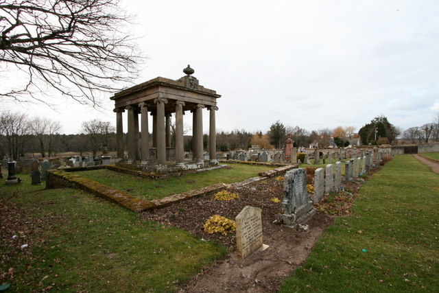
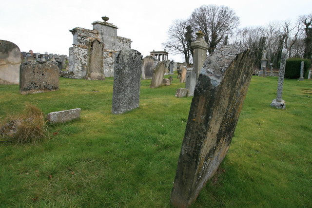
Gordon Tomb

The Gordon Tomb is a classical colonnaded mausoleum in the parish of Bellie in Moray, Scotland. It houses the sarcophagi of the second wife of the 4th...

Gordon Castle

Gordon Castle is a country house located near Fochabers in the parish of Bellie in Moray, Scotland. It was the principal seat of the Dukes of Gordon and...

Upper Dallachy

Upper Dallachy is a small village situated in Moray, Scotland, approximately 2 miles south-east of Spey Bay. The village is located next to the now-abandoned...

Old Church of St John

The Old Church of St John is a ruined church, incorporating a finely carved sacrament house and situated within a historic burial ground in Kirktown of...
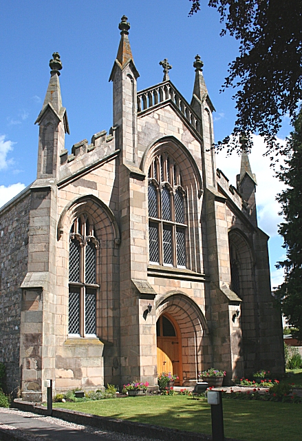
Gordon Chapel

Gordon Chapel is a nineteenth century church in Fochabers, Scotland. It is part of the Scottish Episcopal Church, under the governance of the United Diocese...

St Mary's, Fochabers

St Mary's, Fochabers is a Roman Catholic church in the village of Fochabers, Moray, in Scotland and is a part of the RC Diocese of Aberdeen. The building...

Bellie Kirk

Bellie Kirk is a Georgian church of neoclassical design in Fochabers, Scotland, built in 1798 for the 4th Duke of Gordon. It has been in continuous use...

Nearby Amenities

Located within 500m of 57.629125,-3.0541822
Speed Camera
Ref: 6001
Lat/Long: 57.6249593/-3.0512247
Ordiga
Natural: peak
Lat/Long: 57.6294227/-3.0537745
The data included in this document is from www.openstreetmap.org. The data is made available under ODbL.

Have you been to Bracken Hillock?

Leave your review of Bracken Hillock below (or comments, questions and feedback).