Clytha Hill
Hill, Mountain in Monmouthshire
Wales
Clytha Hill
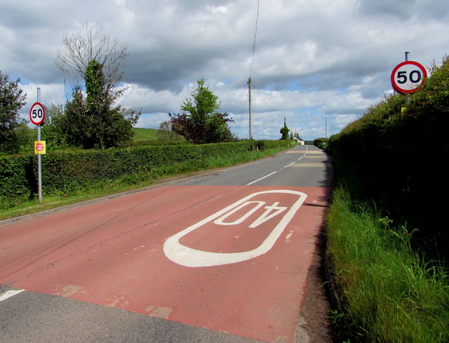
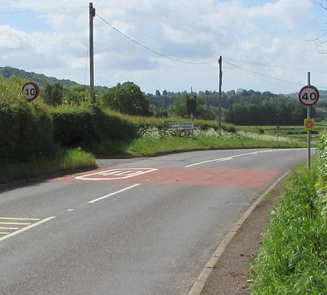
Clytha Hill is a prominent landmark located in Monmouthshire, Wales. This hill, also known as Clytha Castle, stands at an elevation of 361 feet (110 meters) above sea level and offers stunning panoramic views of the surrounding countryside. Situated near the picturesque town of Abergavenny, it is easily accessible by road and attracts visitors from both near and far.
The hill gets its name from Clytha House, an 18th-century mansion that once stood at its summit. Although the house is now in ruins, its remains can still be seen and add to the historical significance of the area. Clytha Hill is also home to an Iron Age hillfort, which further adds to its archaeological importance.
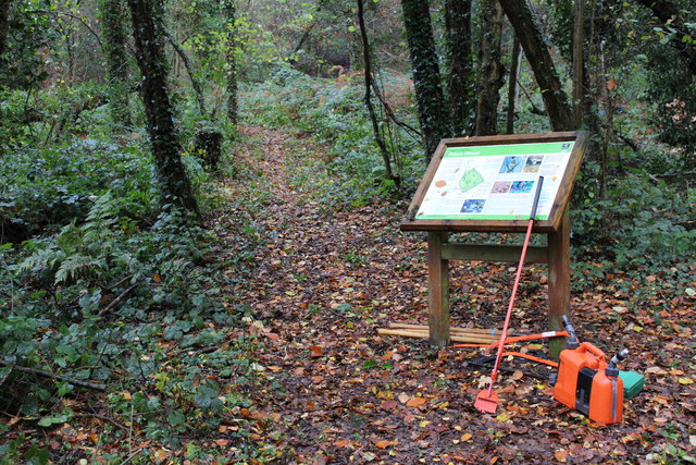
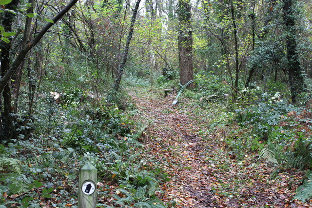
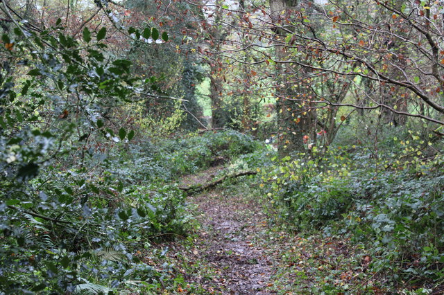
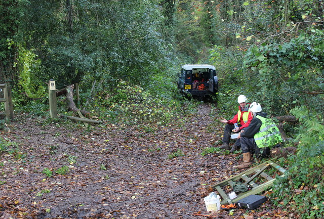
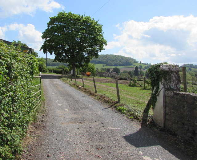
The hill is covered in lush greenery, with a variety of trees and plant species. It is a popular spot for walking and nature enthusiasts, offering well-maintained footpaths and trails that wind through the area. The hill's location within the Clytha Park estate ensures a peaceful and serene environment, making it a perfect getaway for those seeking tranquility in nature.
Clytha Hill is not only known for its natural beauty but also for its cultural significance. It has inspired numerous artists and writers throughout history, with its idyllic landscapes often depicted in paintings and poetry. The hill has also been the subject of local folklore and legends, further adding to its mystique.
Overall, Clytha Hill is a captivating destination that combines history, natural beauty, and tranquility. Whether you're interested in exploring its archaeological remains, enjoying a leisurely walk, or simply taking in the breathtaking views, this Monmouthshire landmark has something to offer everyone.
If you have any feedback on the listing, please let us know in the comments section below.
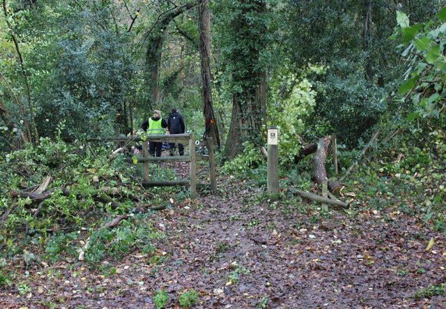
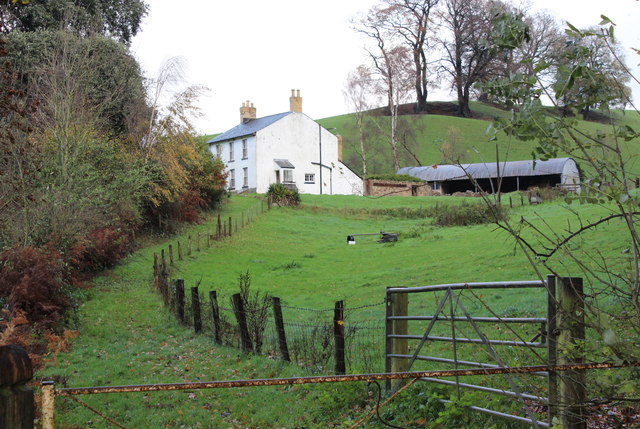
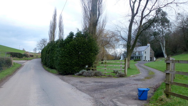
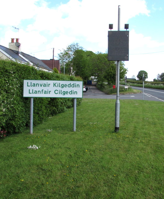
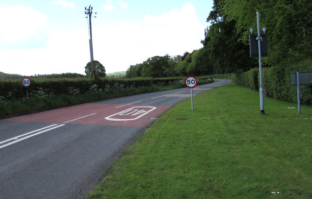
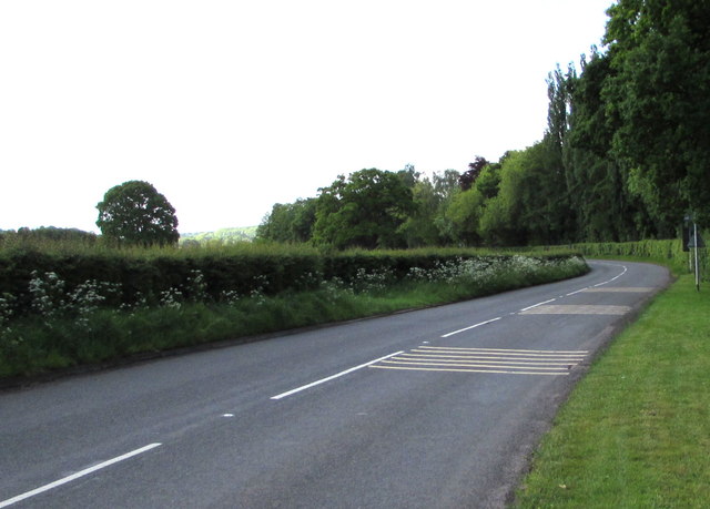
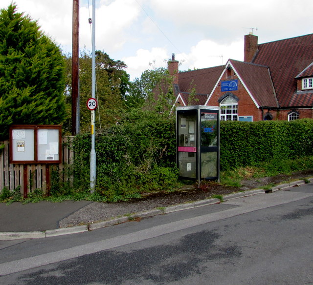
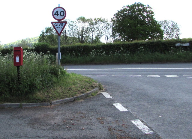
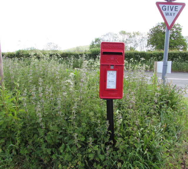
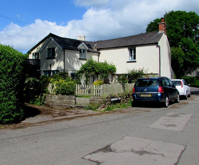
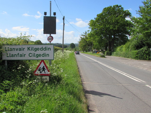
Clytha Hill Images
Images are sourced within 2km of 51.757497/-2.916556 or Grid Reference SO3606. Thanks to Geograph Open Source API. All images are credited.
Clytha Hill is located at Grid Ref: SO3606 (Lat: 51.757497, Lng: -2.916556)
Unitary Authority: Monmouthshire
Police Authority: Gwent
What 3 Words
///landed.spurted.traffic. Near Llanarth, Monmouthshire
Nearby Locations
Related Wikis

Bettws Newydd
Bettws Newydd (Welsh: Betws Newydd) is a small village in Monmouthshire, in southeast Wales located about 3+1⁄2 miles (5.6 km) north of Usk, a few miles...

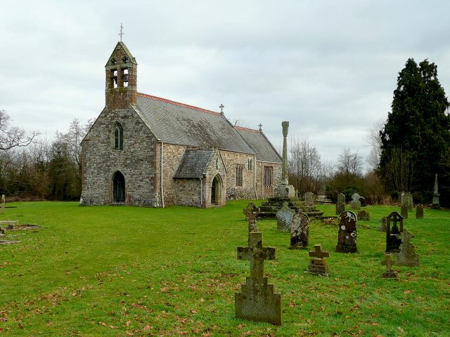
Church of St Aeddan, Bettws Newydd
The Church of St Aeddan, Bettws Newydd, Monmouthshire, Wales, is a fifteenth-century church of twelfth-century origin. It contains a notable rood screen...

Great House, Llanarth
Great House, Llanarth, Monmouthshire is a farmhouse dating from the late-16th century. Extended in the mid-17th century and little altered thereafter,...

Clytha Castle
Clytha Castle (Welsh: Castell Cleidda) is a folly near Clytha between Llanarth and Raglan in Monmouthshire, south east Wales. Dating from 1790, the castle...

Llanfair Kilgeddin
Llanfair Kilgeddin (Welsh: Llanfair Cilgedin) is a small village in Monmouthshire, south east Wales, lying within the administrative community of Llanover...

Clytha Park
Clytha Park, Clytha, Monmouthshire, is a 19th-century Neoclassical country house, "the finest early nineteenth century Greek Revival house in the county...
Church of St Mary the Virgin, Llanfair Kilgeddin
St Mary the Virgin is the former parish church for Llanfair Kilgeddin, near Usk in Monmouthshire, south east Wales. It is a Grade I listed building, notable...

Chapel Farmhouse, Llanarth
Chapel Farmhouse and its attached outbuilding, Llanarth, Monmouthshire is a house dating from the 16th century. Greatly enlarged in the 17th century, it...
Nearby Amenities
Located within 500m of 51.757497,-2.916556Have you been to Clytha Hill?
Leave your review of Clytha Hill below (or comments, questions and feedback).