Colliston Hill

Hill, Mountain in Fife

Scotland

Colliston Hill

Letham Farm Old building among new farm buildings
Letham Farm Credit: James Allan

Colliston Hill is a prominent hill located in Fife, Scotland. It is situated near the small village of Colliston, which lies approximately 6 miles northwest of the coastal town of St Andrews. Rising to a height of around 215 meters (705 feet), it is considered one of the highest hills in the region.

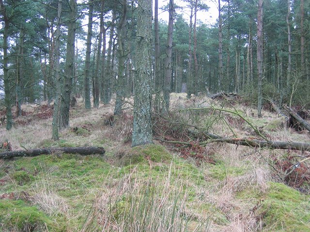
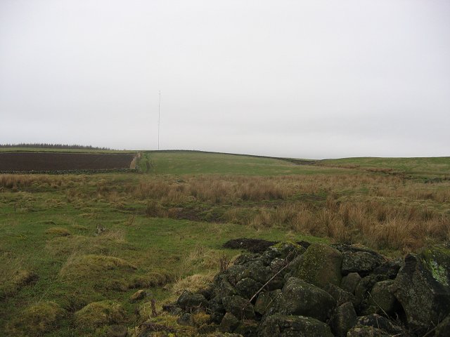
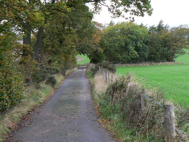
The hill is characterized by its gently sloping sides, covered in lush green vegetation, which gradually give way to steeper gradients as it ascends. At the summit, there is a trig point, offering panoramic views of the surrounding countryside and coastline. On a clear day, it is possible to see as far as the Tay Estuary and the hills of Angus.

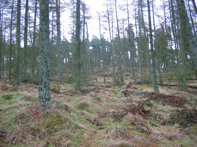
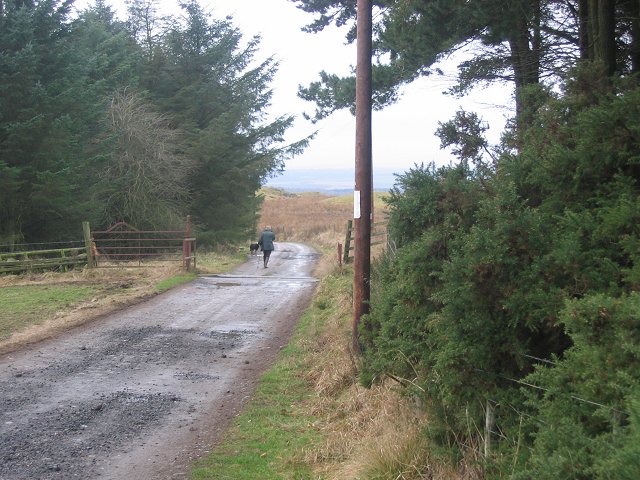
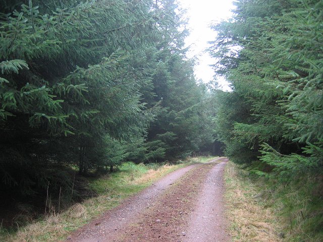
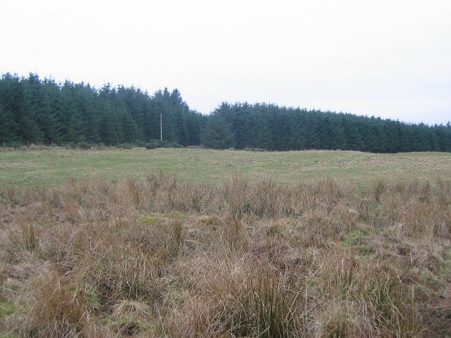
Colliston Hill is a popular destination for outdoor enthusiasts, particularly hikers and nature lovers. There are several well-maintained walking trails that lead to the summit, offering a variety of routes suitable for different levels of fitness and experience. The hill is also home to a diverse range of flora and fauna, including wildflowers, heather, and various bird species.

Additionally, Colliston Hill has historical significance, with remnants of prehistoric settlements and ancient burial grounds found in the surrounding area. These archaeological sites provide insight into the region's rich past and attract researchers and history enthusiasts.

Overall, Colliston Hill is a beautiful natural landmark, offering visitors the opportunity to enjoy stunning views, engage in outdoor activities, and explore the area's historical heritage.

If you have any feedback on the listing, please let us know in the comments section below.

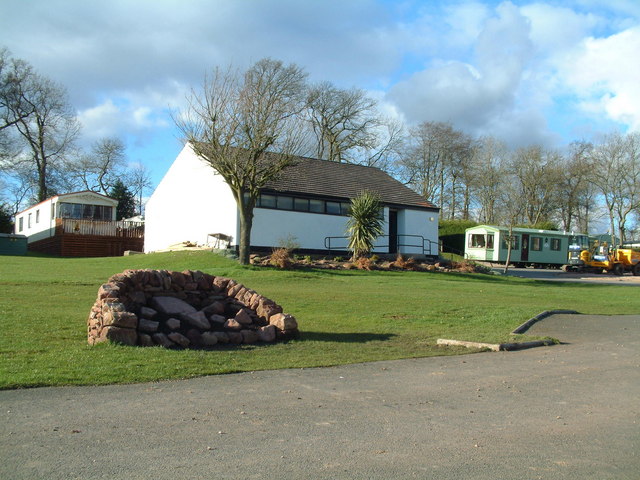
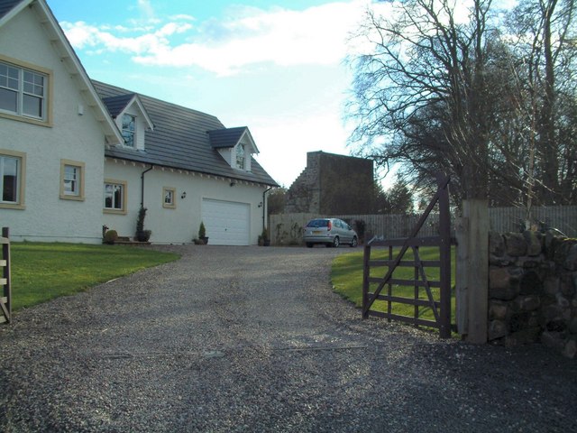
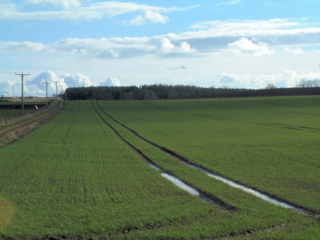
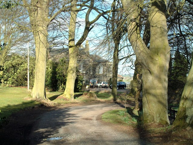
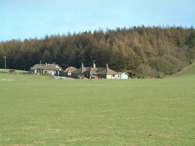
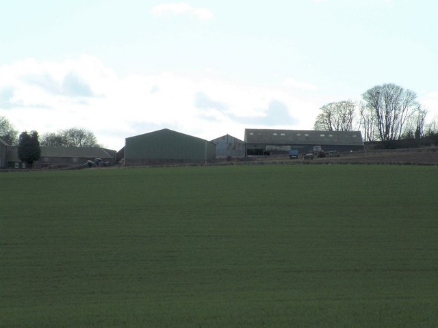
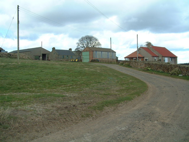
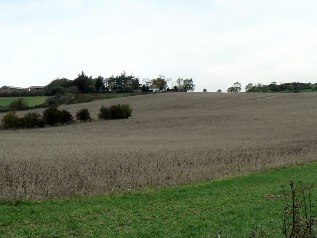
Colliston Hill Images

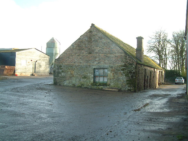
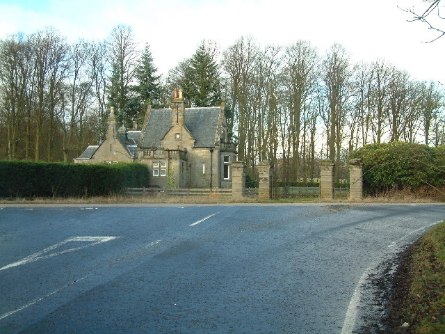
Images are sourced within 2km of 56.238252/-3.0261908 or Grid Reference NO3605. Thanks to Geograph Open Source API. All images are credited.

Letham Farm Old building among new farm buildings
Letham Farm
Old building among new farm buildings
Gatehouse of Montrave Estate
Clatto Hill Open land in the 1940s, now home to mature forestry.
Clatto Hill
Open land in the 1940s, now home to mature forestry.
Clatto Hill Gap between Devon Wood and Clatto Hill plantations looking west. The dog walker was very interested in my registration plate. With good reason, loads of fly tipping going on here.
Clatto Hill
Gap between Devon Wood and Clatto Hill plantations looking west. The dog walker was very interested in my registration plate. With good reason, loads of fly tipping going on here.
Clatto Hill The summit. The trig point was marked with claw marks. Given the talk of leopards in the woods of Fife, I was relieved to see that they were the work of badgers.
Clatto Hill
The summit. The trig point was marked with claw marks. Given the talk of leopards in the woods of Fife, I was relieved to see that they were the work of badgers.
Farmland above Devon A lot of land here is wooded, but this is still farmland. Another wind prospecting mast suggests changes possible. The cairn is made of rocks cleared from the land. Looking north.
Farmland above Devon
A lot of land here is wooded, but this is still farmland. Another wind prospecting mast suggests changes possible. The cairn is made of rocks cleared from the land. Looking north.
Devon Wood Thick spruce c/o The Forestry Commission.
Devon Wood
Thick spruce c/o The Forestry Commission.
Devon Wood. Much of the square is forestry. Here for a change from a road in deep Sitka is a view of the forest edge. Looking SE. The foreground is wet farmland.
Devon Wood.
Much of the square is forestry. Here for a change from a road in deep Sitka is a view of the forest edge. Looking SE. The foreground is wet farmland.
Letham Feus Holiday Camp A caravan site north-east of Bennybank
Letham Feus Holiday Camp
A caravan site north-east of Bennybank
New house, old doocot Montrave Home Farm is turning into a residential area but some of the original buildings, such as the doocot (dove cot) seen here, still are preserved.
New house, old doocot
Montrave Home Farm is turning into a residential area but some of the original buildings, such as the doocot (dove cot) seen here, still are preserved.
Salter's Neuk Wood Looking south from near Muirhead
Salter's Neuk Wood
Looking south from near Muirhead
Pratis House
Pratis House
Clatto Cottages A row of farm workers cottages jut west of Clatto Farm
Clatto Cottages
A row of farm workers cottages jut west of Clatto Farm
Colliston Hill Kilmux Wood crowns Colliston Hill
Colliston Hill
Kilmux Wood crowns Colliston Hill
Kilmux Farm Viewed from the north-east
Kilmux Farm
Viewed from the north-east
Clatto Barns A working farm, with an active motorcycle off-road track within its grounds.
Clatto Barns
A working farm, with an active motorcycle off-road track within its grounds.
Balgriebank Aptly-named White Cottage (centre) and Balgriebank Farm to the left on the horizon.
Balgriebank
Aptly-named White Cottage (centre) and Balgriebank Farm to the left on the horizon.
Towards St Brendan's Well Road leading from Toddy Bridge to Whalleyden and St Brendan's Well
Towards St Brendan's Well
Road leading from Toddy Bridge to Whalleyden and St Brendan's Well
Show me another place!

Colliston Hill is located at Grid Ref: NO3605 (Lat: 56.238252, Lng: -3.0261908)

Unitary Authority: Fife

Police Authority: Fife

What 3 Words

///printers.firm.ratio. Near Kennoway, Fife

Related Wikis

Bonnybank

Bonnybank is a small village in the Levenmouth area of Fife, approximately 2 miles north of Leven and situated on the main road (the A916) between Kennoway...
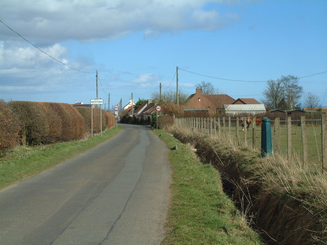
Baintown

Baintown is a hamlet located in Fife, a council area of Scotland, UK.

East Fife G.W.F.C.

East Fife Girls and Women's Football Club are a Scottish women's football team based in the Fife coastal town of Leven. The team, established in 2000,...

Priestfield House

Priestfield House was a Victorian Country House near Cults, Fife, Scotland. == History == The estate, originally an outlying property of Crawford Priory...

Nearby Amenities

Located within 500m of 56.238252,-3.0261908
Colliston Hill
Ele: 196
Natural: peak
Lat/Long: 56.2385046/-3.0258295
Kilmux Wood
Natural: wood
Lat/Long: 56.2391196/-3.0325161
The data included in this document is from www.openstreetmap.org. The data is made available under ODbL.

Have you been to Colliston Hill?

Leave your review of Colliston Hill below (or comments, questions and feedback).