Barnoch Hill

Hill, Mountain in Aberdeenshire

Scotland

Barnoch Hill

Minor road near Eastertown
Minor road near Eastertown Credit: Steven Brown

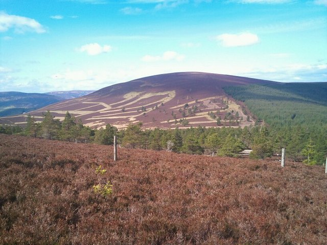
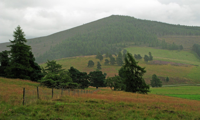
Barnoch Hill is a prominent hill located in Aberdeenshire, Scotland. It is situated near the village of Rhynie, approximately 40 miles northwest of Aberdeen. Standing at an elevation of 1,469 feet (448 meters), it offers breathtaking panoramic views of the surrounding countryside.

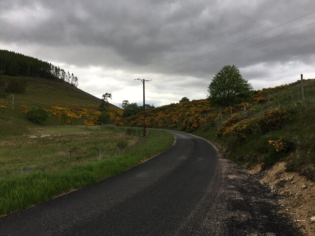
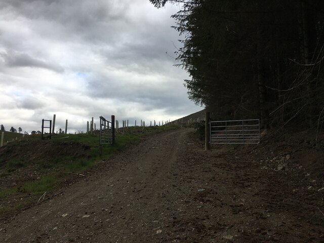
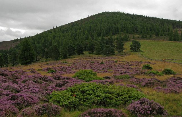
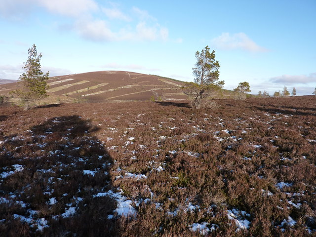
The hill is characterized by its distinctive cone-shaped summit, which is covered in heather and grasses, giving it a picturesque appearance. Its slopes are mostly gentle, making it accessible to hikers of various skill levels. There are well-defined paths leading to the summit, making it a popular destination for outdoor enthusiasts and nature lovers.

One of the main attractions of Barnoch Hill is the presence of an ancient monument known as "The Maiden Stone." This Pictish cross-slab stands at the base of the hill and dates back to the 9th or 10th century. Adorned with intricate carvings of various symbols and figures, it is considered an important archaeological and historical site.

The hill also boasts a rich biodiversity, with a variety of plant and animal species found within its vicinity. It is home to heather moorland, which supports a diverse range of wildlife, including birds like red grouse and skylarks, as well as mammals like mountain hares and red deer.

Barnoch Hill is a destination that offers both natural beauty and historical significance, making it an ideal spot for those seeking outdoor adventures, cultural exploration, or simply a peaceful retreat in the heart of Aberdeenshire.

If you have any feedback on the listing, please let us know in the comments section below.

Barnoch Hill Images

Images are sourced within 2km of 57.230565/-3.0542952 or Grid Reference NJ3616. Thanks to Geograph Open Source API. All images are credited.

Minor road near Eastertown
Forestry entrance in Glen Buchat
Water of Buchat
Water of Buchat
Minor road at Mill of Glenbuchat
Road junction in Glen Buchat
Minor road in Glen Buchat
Ladylea Hill
Ladylea Hill
Mid Hill from Coul of Ledmacay on the SE slope of Raongeohda Hill
Declining heather slopes of Clashenteple Slopes of low heather descend north-westwards from Clashenteple and beyond similar slopes rise to Ladylea Hill; scattered trees are dotted about both slopes.
Declining heather slopes of Clashenteple
Slopes of low heather descend north-westwards from Clashenteple and beyond similar slopes rise to Ladylea Hill; scattered trees are dotted about both slopes.
Declining hill slope south of Tom na Gabhar Slopes of grass descend eastwards towards a minor road. In the distance an incoming rain shower is about to pass over Ben Newe.
Declining hill slope south of Tom na Gabhar
Slopes of grass descend eastwards towards a minor road. In the distance an incoming rain shower is about to pass over Ben Newe.
Heather in full bloom on Tom Breac Tom Breac is a very minor rise lying to the west of Ben Newe, which is the tree-clad hill beyond.
Heather in full bloom on Tom Breac
Tom Breac is a very minor rise lying to the west of Ben Newe, which is the tree-clad hill beyond.
Church and graveyard at Glenbuchat Glenbuchat church serves the parish of Upper Donside.
Church and graveyard at Glenbuchat
Glenbuchat church serves the parish of Upper Donside.
Farm pond at Dockington
Cairn on Clashenteple Hill Cracking view through polar air
Cairn on Clashenteple Hill
Cracking view through polar air
N.E. from the NW top of Mid Hill Towards the S.W slopes of Clashenteple Hill. A nice dusting of crunchy snow made the going easy. Not a breath of wind. Saw a white hare on the way up.
N.E. from the NW top of Mid Hill
Towards the S.W slopes of Clashenteple Hill. A nice dusting of crunchy snow made the going easy. Not a breath of wind. Saw a white hare on the way up.
A great day to be out in proper Geograph country
The western slopes of Clashenteple Hill
Rocks on Mid Hill
Rocks on Mid Hill
Show me another place!

Barnoch Hill is located at Grid Ref: NJ3616 (Lat: 57.230565, Lng: -3.0542952)

Unitary Authority: Aberdeenshire

Police Authority: North East

What 3 Words

///gloom.gashes.mouths. Near Ballater, Aberdeenshire

Nearby Locations

Stony Hill Barnoch Hill

Related Wikis

Have you been to Barnoch Hill?

Leave your review of Barnoch Hill below (or comments, questions and feedback).