Backie Hill
Hill, Mountain in Aberdeenshire
Scotland
Backie Hill

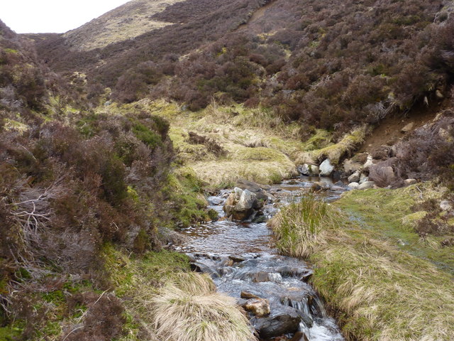
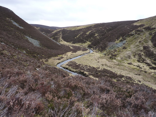
Backie Hill is a prominent hill located in Aberdeenshire, Scotland. Situated in the area of Huntly, it forms part of the scenic landscape of the region. With an elevation of approximately 570 meters (1,870 feet), it is classified as a hill rather than a mountain.
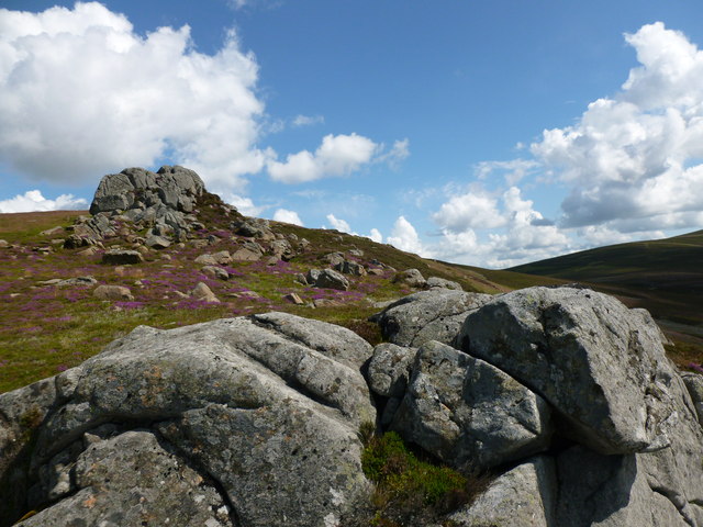
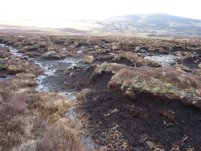
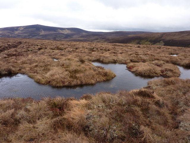
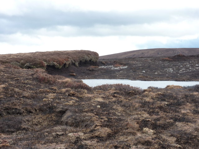
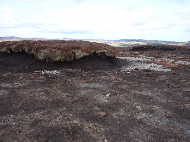
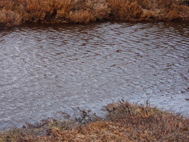
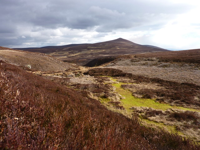
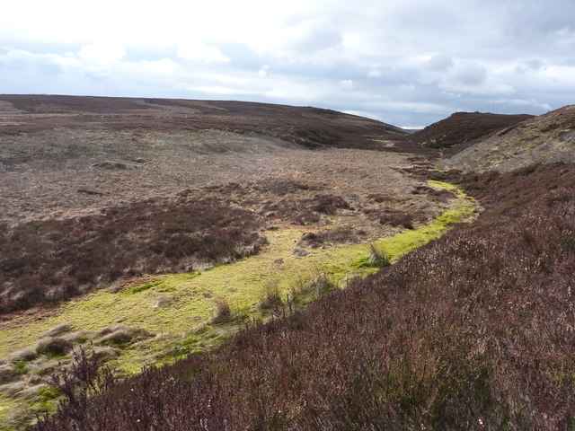
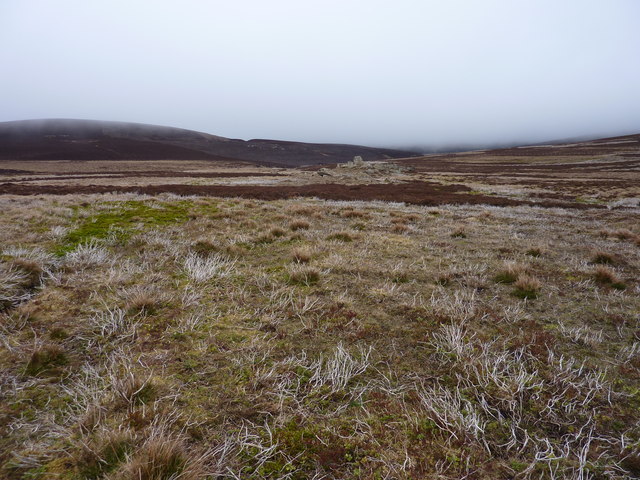
The hill is characterized by its distinct conical shape, making it easily recognizable from a distance. It is covered in lush green vegetation, featuring a mix of heather, grasses, and some scattered trees. The flora on Backie Hill changes with the seasons, displaying vibrant colors in the spring and summer months, and a more muted palette in the winter.
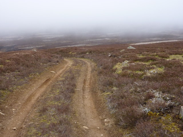
The summit of Backie Hill offers breathtaking panoramic views of the surrounding countryside. On clear days, one can see the sprawling Aberdeenshire landscape, with its rolling hills, farmland, and scattered settlements. The hill is a popular spot for hiking and walking enthusiasts, attracting both locals and tourists alike.
The area around Backie Hill is rich in wildlife, with various species of birds, mammals, and insects calling it home. Nature lovers can often spot buzzards soaring overhead, as well as rabbits, deer, and foxes roaming the hillside.
Overall, Backie Hill is a scenic and picturesque location in Aberdeenshire, offering visitors a chance to immerse themselves in the beauty of the Scottish countryside and enjoy its natural splendor.
If you have any feedback on the listing, please let us know in the comments section below.
Backie Hill Images
Images are sourced within 2km of 57.278419/-3.0565422 or Grid Reference NJ3621. Thanks to Geograph Open Source API. All images are credited.


Backie Hill is located at Grid Ref: NJ3621 (Lat: 57.278419, Lng: -3.0565422)
Unitary Authority: Moray
Police Authority: North East
What 3 Words
///life.lotteries.barefoot. Near Dufftown, Moray
Nearby Locations
Related Wikis

Peatfold Burn
Peatfold Burn is a burn which marks the boundary of the parish of Huntly, Aberdeenshire, Scotland. == References ==

Badenyon
Badenyon (from Scottish Gaelic: Bad an Eòin - Knoll of the Birds) is a former clachan, or village, in Aberdeenshire, Scotland. The last farming inhabitant...

Badenyon Castle
Badenyon Castle was a castle, dating from the 13th century around 7.5 miles (12.1 km) west of Kildrummy, north of Coulins Burn, in Aberdeenshire, Scotland...

Cabrach
The Cabrach (Scottish Gaelic: A' Chabrach, A' Chabraich) is an estate and largely depopulated rural community in Moray, Scotland. The meaning of the name...

Grampian
Grampian (Scottish Gaelic: Roinn a' Mhonaidh) was one of nine former local government regions of Scotland created in 1975 by the Local Government (Scotland...

Glenbuchat Castle
Glenbuchat Castle is a historic Z plan Scottish castle built in 1590 for John Gordon of Cairnbarrow to mark his wedding. It is located above the River...

Clashindarroch Forest
Clashindarroch Forest is possibly the largest forest in Aberdeenshire, situated to the south-west of the market town of Huntly. Managed by Forest Enterprise...

Lost, Aberdeenshire
Lost (Lòsda in Scottish Gaelic; population: less than 24; grid reference NJ349132 or on 1869 map) is a hamlet in Aberdeenshire, Scotland. It lies 40 miles...
Nearby Amenities
Located within 500m of 57.278419,-3.0565422Have you been to Backie Hill?
Leave your review of Backie Hill below (or comments, questions and feedback).