Black Hill
Hill, Mountain in Banffshire
Scotland
Black Hill

Black Hill is a prominent hill located in the region of Banffshire, Scotland. Rising to an elevation of 550 meters (1,800 feet), it is classified as a hill rather than a mountain. Situated in the eastern part of the country, Black Hill is part of the larger Grampian Mountains, which extend across the Highlands.
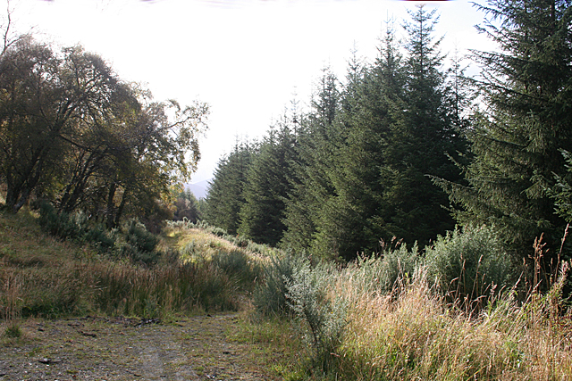
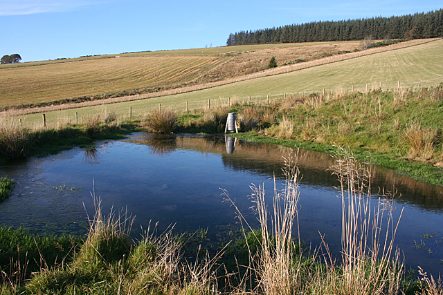
The hill offers breathtaking panoramic views of the surrounding landscape, with its steep slopes covered in heather and grasses. It is a popular destination for hikers and outdoor enthusiasts, attracting both locals and tourists alike. The ascent to the summit is moderately challenging, with a well-defined path leading to the top.
At the summit of Black Hill, visitors are rewarded with stunning vistas of the Banffshire countryside, including the nearby villages of Portsoy and Cullen, as well as the North Sea coastline. On clear days, it is even possible to catch a glimpse of the Cairngorms National Park to the southwest.
Black Hill is also home to a diverse range of flora and fauna. The hill's heathland provides habitat for various bird species, including red grouse, golden plovers, and meadow pipits. The surrounding woodlands are inhabited by roe deer, red squirrels, and other small mammals.
Overall, Black Hill offers a memorable and picturesque experience for those seeking outdoor adventure and stunning natural beauty. Its accessibility, combined with its scenic views and abundant wildlife, make it a notable attraction in the Banffshire region.
If you have any feedback on the listing, please let us know in the comments section below.
Black Hill Images
Images are sourced within 2km of 57.453308/-3.0680484 or Grid Reference NJ3640. Thanks to Geograph Open Source API. All images are credited.


Black Hill is located at Grid Ref: NJ3640 (Lat: 57.453308, Lng: -3.0680484)
Unitary Authority: Moray
Police Authority: North East
What 3 Words
///beaten.portfolio.unwind. Near Dufftown, Moray
Nearby Locations
Related Wikis

Auchindoun, Moray
Auchindoun (Scottish Gaelic: Achadh an Dùin) is a rural hamlet in Moray, Scotland. It is located some 2.5 miles east of Dufftown, which describes itself...

Drummuir Curlers' Platform railway station
Drummuir Curlers' Platform railway station was a private station opened on the Keith and Dufftown Railway for the use of the curlers belonging to the Drummuir...
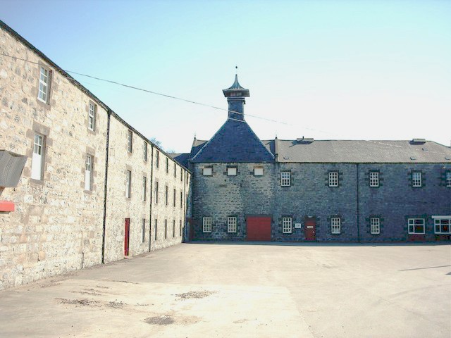
Parkmore distillery
Parkmore distillery was a producer of single malt Scotch whisky that operated between 1894 and 1988. == History == Parkmore was founded in 1894 by the...
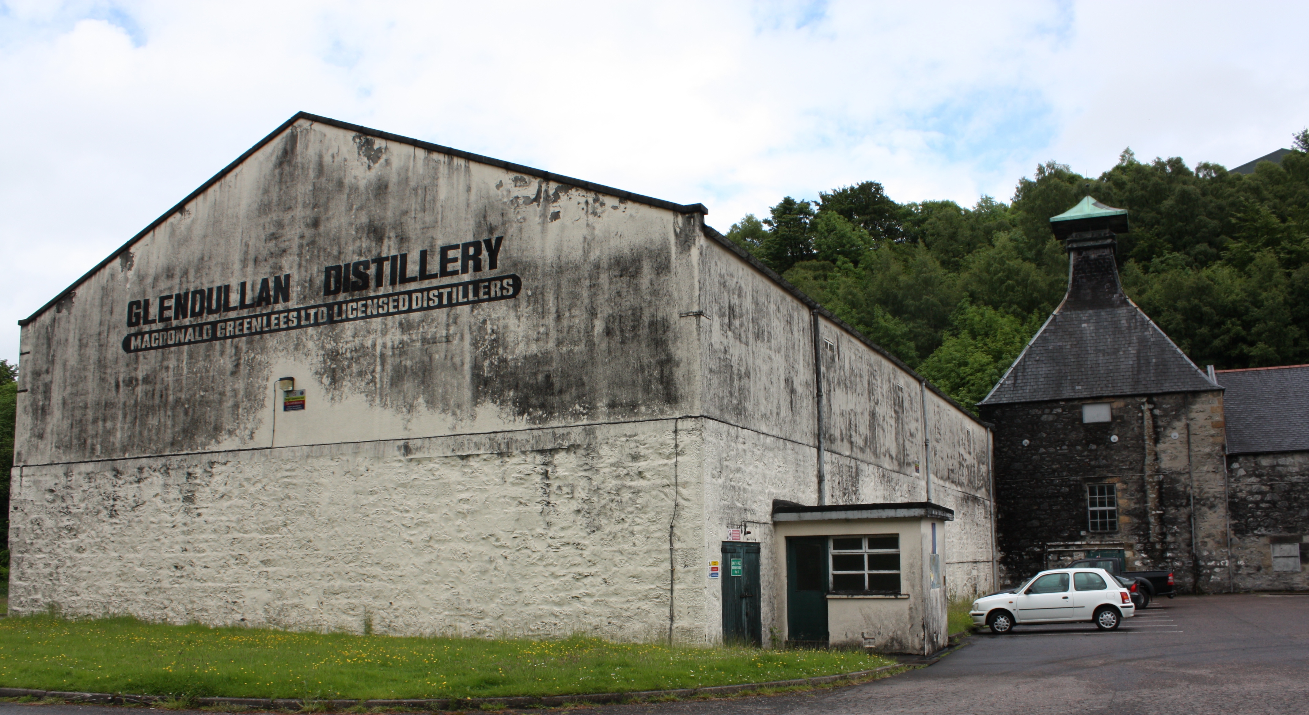
Glendullan distillery
Glendullan distillery is a single malt Scotch whisky distillery in Dufftown, Scotland in the Speyside region. Glendullan is owned by Diageo. == History... ==
Nearby Amenities
Located within 500m of 57.453308,-3.0680484Have you been to Black Hill?
Leave your review of Black Hill below (or comments, questions and feedback).