Balloon Hill

Hill, Mountain in Denbighshire

Wales

Balloon Hill

Ordnance Survey Cut Mark This OS cut mark can be found on the wall of No25 Hightown Road. It marks a point 73.289m above mean sea level.
Ordnance Survey Cut Mark Credit: Adrian Dust

Balloon Hill is a prominent hill located in Denbighshire, Wales. Situated in the Clwydian Range Area of Outstanding Natural Beauty, it offers stunning panoramic views of the surrounding landscape. With an elevation of 305 meters (1,001 feet), it is not classified as a mountain but is often referred to as such due to its commanding presence.

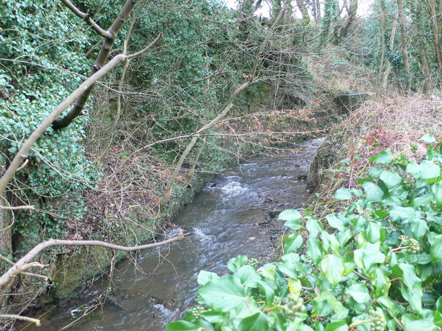
The hill is characterized by its distinctive conical shape, which is more pronounced when viewed from a distance. Its slopes are covered in a patchwork of green fields, interspersed with scattered trees and hedgerows. The terrain is moderately steep in some areas, providing a challenging ascent for hikers and outdoor enthusiasts.

Balloon Hill is a popular destination for walkers and nature lovers, thanks to its accessibility and breathtaking vistas. Several footpaths lead to the summit, offering different routes for visitors to choose from. On a clear day, one can enjoy sweeping views of the Clwydian Range, with its rolling hills and valleys stretching out into the distance. The nearby towns of Denbigh, Ruthin, and Mold can also be seen from the summit.

The hill is home to a variety of plant and animal species, adding to its ecological importance. It provides a habitat for birds such as buzzards and kestrels, as well as small mammals like rabbits and voles. Wildflowers, including bluebells and primroses, dot its slopes during the spring and summer months, adding a splash of color to the landscape.

Overall, Balloon Hill is a natural gem within Denbighshire, offering a rewarding outdoor experience for those who venture to its summit.

If you have any feedback on the listing, please let us know in the comments section below.
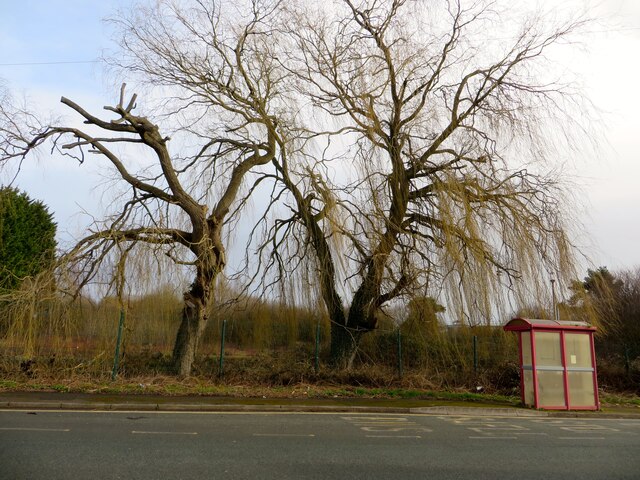
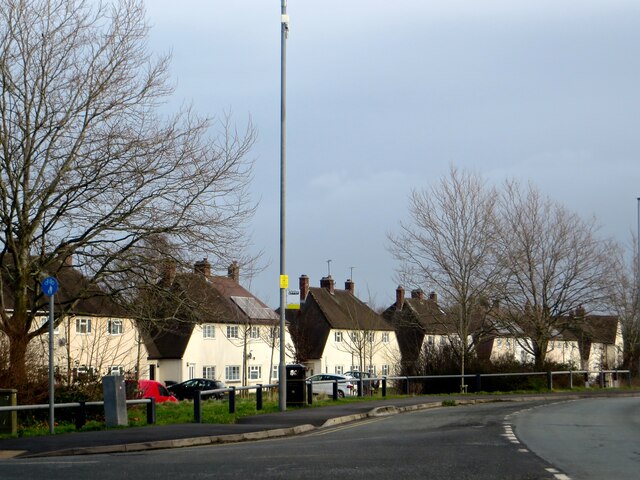
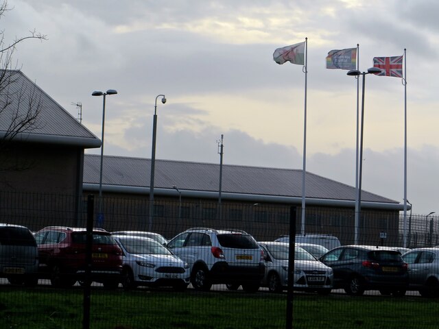
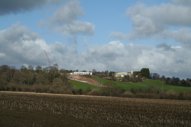
Balloon Hill Images

Images are sourced within 2km of 53.043872/-2.9569654 or Grid Reference SJ3550. Thanks to Geograph Open Source API. All images are credited.

Ordnance Survey Cut Mark This OS cut mark can be found on the wall of No25 Hightown Road. It marks a point 73.289m above mean sea level.
Ordnance Survey Cut Mark
This OS cut mark can be found on the wall of No25 Hightown Road. It marks a point 73.289m above mean sea level.
The former Bryn Estyn Bryn Estyn was built for a Wrexham brewer in 1902-3, and became a secure school after WW2. It became notorious as the centre of a high level paedophile ring, and after closing, and a brief tenure as council offices, it is now scheduled for demolition.
The former Bryn Estyn
Bryn Estyn was built for a Wrexham brewer in 1902-3, and became a secure school after WW2. It became notorious as the centre of a high level paedophile ring, and after closing, and a brief tenure as council offices, it is now scheduled for demolition.
L&D Brothers, Marchwiel L&D Brothers Garage next to the A525 on the outskirts of Marchwiel.
L&D Brothers, Marchwiel
L&D Brothers Garage next to the A525 on the outskirts of Marchwiel.
The A525 at Marchwiel The A525 at the junction with Marchwiel Hall Lane.
The A525 at Marchwiel
The A525 at the junction with Marchwiel Hall Lane.
Safle Bws / Bus Stop On the Wrexham Industrial Estate.
Safle Bws / Bus Stop
On the Wrexham Industrial Estate.
Housing at Pentre Maelor A spacious estate, built around a huge green between 1948 - 52 for workers at the Firestone factory.
Housing at Pentre Maelor
A spacious estate, built around a huge green between 1948 - 52 for workers at the Firestone factory.
HMP Berwyn A windy day, as can be seen by the flags flying at HMP Berwyn.
HMP Berwyn
A windy day, as can be seen by the flags flying at HMP Berwyn.
Old Llwyn Onn Farm Mysterious developments, not agricultural it seems at the farm.
Old Llwyn Onn Farm
Mysterious developments, not agricultural it seems at the farm.
Cefn Park
Cefn Park
The Village Bakery and Juvela The Village Bakery and Juvela bakery units on the Wrexham Industrial Estate.

Wikipedia <span class="nowrap"><a title="http://en.wikipedia.org/wiki/Wrexham_Industrial_Estate" rel="nofollow ugc noopener" href="http://en.wikipedia.org/wiki/Wrexham_Industrial_Estate">Link</a><img style="margin-left:2px;" alt="External link" title="External link - shift click to open in new window" src="https://s1.geograph.org.uk/img/external.png" width="10" height="10"/></span>
The Village Bakery and Juvela
The Village Bakery and Juvela bakery units on the Wrexham Industrial Estate. Wikipedia LinkExternal link
The Village Bakery on the Wrexham Industrial Estate Wikipedia <span class="nowrap"><a title="http://en.wikipedia.org/wiki/Wrexham_Industrial_Estate" rel="nofollow ugc noopener" href="http://en.wikipedia.org/wiki/Wrexham_Industrial_Estate">Link</a><img style="margin-left:2px;" alt="External link" title="External link - shift click to open in new window" src="https://s1.geograph.org.uk/img/external.png" width="10" height="10"/></span>
The Village Bakery on the Wrexham Industrial Estate
Wikipedia LinkExternal link
L and D Motors, Marchwiel
Coed Aben Road, Wrexham Industrial Estate
Kingsmills Road Opposite the barracks.
Kingsmills Road
Opposite the barracks.
Country Drive This deceiving drive with cattle grid and speed limit leads to the Five Fords sewage works and not a private residence, although it appears that someonr was in a hurry to collect their mail.
Country Drive
This deceiving drive with cattle grid and speed limit leads to the Five Fords sewage works and not a private residence, although it appears that someonr was in a hurry to collect their mail.
Llwyn-onn Hall Hotel, Wrexham
Wrecsam Industrial Estate A smaller set of developing units on Clwydedog Road South.
Wrecsam Industrial Estate
A smaller set of developing units on Clwydedog Road South.
Show me another place!

Balloon Hill is located at Grid Ref: SJ3550 (Lat: 53.043872, Lng: -2.9569654)

Unitary Authority: Wrexham

Police Authority: North Wales

What 3 Words

///pedicure.factored.actors. Near Marchwiel, Wrexham

Related Wikis

Caia Park

Caia Park (Welsh: Parc Caia) is a suburb and community in Wrexham, Wrexham County Borough, Wales. It was created in 1985 after a Boundary Commission review...

Ysgol Morgan Llwyd

Ysgol Morgan Llwyd is a Welsh-medium comprehensive school in Wrexham, in north-east Wales, UK. It is the first, and is the only Welsh-medium secondary...

Wrexham RFC

Wrexham Rugby Football Club (Welsh: Clwb Rygbi Wrecsam) is a Welsh rugby union team based in Wrexham, Wales. Wrexham RFC is a member of the Welsh Rugby...

Queensway Stadium

Queensway Stadium is an athletics stadium in Wrexham, Wales, which is home to the Wrexham Athletics Club and until 2021 North Wales Crusaders rugby league...

Rhosnesni

Rhosnesni () is an area and electoral ward in the community of Acton in Wrexham, Wrexham County Borough, Wales. The population of the ward at the 2011...

River Gwenfro

The River Gwenfro (Welsh: Afon Gwenfro) is a small river in Wrexham County Borough, north Wales. It is a tributary of the Clywedog. The name Gwenfro is...

Hightown Halt railway station

Hightown Halt railway station was a station in Caia Park, Wrexham, Wales. The station was opened on 9 July 1923 and closed on 10 September 1962. ��2�...

Rhosnesni High School

Rhosnesni High School, also known as Ysgol Rhosnesni High School or simply Ysgol Rhosnesni, is an English-medium mixed comprehensive secondary school in...

Nearby Amenities

Located within 500m of 53.043872,-2.9569654
Barrier: cattle_grid
Lat/Long: 53.044834/-2.9640462
Barrier: cattle_grid
Lat/Long: 53.0416677/-2.9616351
Natural: shrub
Lat/Long: 53.0472512/-2.958756
Natural: shrub
Lat/Long: 53.0472463/-2.9588568
Natural: shrub
Lat/Long: 53.0472456/-2.9589302
Natural: shrub
Lat/Long: 53.0472419/-2.9589987
Natural: shrub
Lat/Long: 53.0472396/-2.9591008
Natural: shrub
Lat/Long: 53.0472695/-2.9591207
Natural: shrub
Lat/Long: 53.0472037/-2.9586439
Natural: shrub
Lat/Long: 53.0472052/-2.9586975
Natural: shrub
Lat/Long: 53.0472029/-2.9587647
Natural: shrub
Lat/Long: 53.0472037/-2.9588344
Natural: shrub
Lat/Long: 53.047197/-2.9588916
Natural: shrub
Lat/Long: 53.047185/-2.9589663
Natural: shrub
Lat/Long: 53.0471655/-2.9590497
Natural: shrub
Lat/Long: 53.0471345/-2.9590889
Natural: shrub
Lat/Long: 53.0470903/-2.95914
Natural: shrub
Lat/Long: 53.0470544/-2.9591611
The data included in this document is from www.openstreetmap.org. The data is made available under ODbL.

Have you been to Balloon Hill?

Leave your review of Balloon Hill below (or comments, questions and feedback).