Beacon Hill

Hill, Mountain in Somerset South Somerset

England

Beacon Hill

Ilminster This market town takes its name from the River Ile and the Minster church, St Mary's.
Ilminster Credit: Liz Martin

Beacon Hill is a prominent landmark located in Somerset, England. Rising to an elevation of 325 meters (1,066 feet) above sea level, it is classified as a hill rather than a mountain due to its height. Situated within the Quantock Hills Area of Outstanding Natural Beauty, Beacon Hill offers breathtaking panoramic views of the surrounding countryside.

Covered in heather and gorse, the hill is characterized by its rolling slopes and rocky outcrops. It is a popular destination for hikers, nature enthusiasts, and photographers, attracting visitors year-round. The hill is rich in biodiversity, supporting a variety of plant and animal species. Wildflowers, such as bluebells and foxgloves, can be found dotting the landscape during the spring and summer months.

The summit of Beacon Hill is crowned by an ancient beacon, which gives the hill its name. Historically, these beacons were used as a means of communication, with fires being lit to signal important messages across long distances. Today, the beacon serves as a reminder of the hill's historical significance.

There are several walking trails that wind their way up Beacon Hill, providing visitors with different levels of difficulty and length. The hill also forms part of the Quantock Hills Trail, a long-distance footpath that spans 51 kilometers (32 miles) and showcases the beauty of the entire Quantock Hills area.

In conclusion, Beacon Hill in Somerset is a stunning natural landmark that offers breathtaking views, diverse flora and fauna, and a glimpse into England's historical past. Whether you are seeking adventure, tranquility, or a connection to nature, Beacon Hill is a must-visit destination.

If you have any feedback on the listing, please let us know in the comments section below.
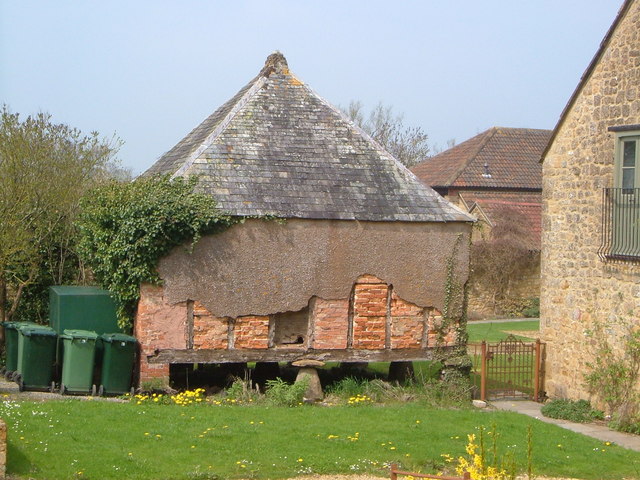
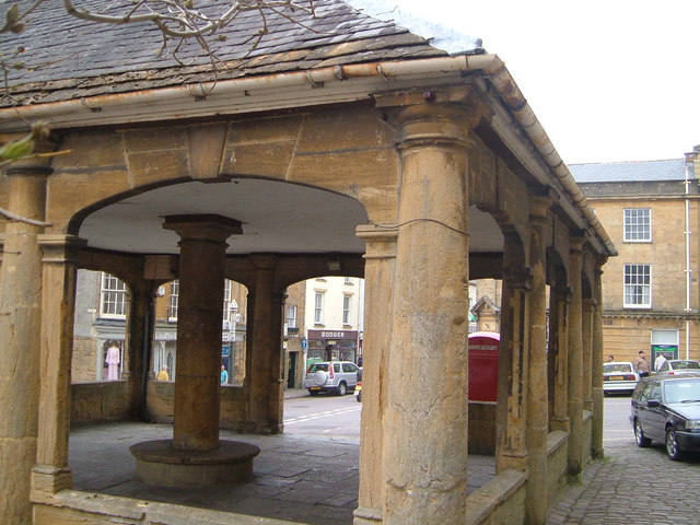
Beacon Hill Images

Images are sourced within 2km of 50.932129/-2.9138085 or Grid Reference ST3515. Thanks to Geograph Open Source API. All images are credited.

Ilminster This market town takes its name from the River Ile and the Minster church, St Mary's.
Ilminster
This market town takes its name from the River Ile and the Minster church, St Mary's.
Ilminster The recreation and football ground with Herne Hill in the background
Ilminster
The recreation and football ground with Herne Hill in the background
Dillington House Present house dates back to the 16th Century.  Now a regional centre for adult education and the arts.
Dillington House
Present house dates back to the 16th Century. Now a regional centre for adult education and the arts.
Track in Autumn
Track in Autumn
Pretwood Hill Trees newly in leaf on the permissive path along the crest of Pretwood Hill, overlooking Ilminster.
Pretwood Hill
Trees newly in leaf on the permissive path along the crest of Pretwood Hill, overlooking Ilminster.
Herne Hill Fields climb the southern slopes of Herne Hill, seen here from the Ilminster-Chard road.
Herne Hill
Fields climb the southern slopes of Herne Hill, seen here from the Ilminster-Chard road.
Granary, Park Farm The rendering on this (probably C18) granary, still partly supported by staddle stones, has partly gone, revealing the brick and timber structure.
Granary, Park Farm
The rendering on this (probably C18) granary, still partly supported by staddle stones, has partly gone, revealing the brick and timber structure.
Market House , Ilminster The cross roads at the heart of Ilminster viewed through the ham stone Market House - <span class="nowrap"><a title="http://webapp1.somerset.gov.uk/her/details.asp?prn=58067" rel="nofollow ugc noopener" href="http://webapp1.somerset.gov.uk/her/details.asp?prn=58067">Link</a><img style="margin-left:2px;" alt="External link" title="External link - shift click to open in new window" src="https://s1.geograph.org.uk/img/external.png" width="10" height="10"/></span>
Market House , Ilminster
The cross roads at the heart of Ilminster viewed through the ham stone Market House - LinkExternal link
Ilminster Library On Ditton Road, south of the town centre. The tablet in the gable reads "The Reading Room, 1889".
Ilminster Library
On Ditton Road, south of the town centre. The tablet in the gable reads "The Reading Room, 1889".
Townsend Farm, Ilminster Seen from the slopes of Pretwood Hill.
Townsend Farm, Ilminster
Seen from the slopes of Pretwood Hill.
Cottages at Knott Oak Seen from the slopes of Pretwood Hill, looking northeast.
Cottages at Knott Oak
Seen from the slopes of Pretwood Hill, looking northeast.
Ilminster fire station Ilminster fire station, Blackdown View, Ilminster, Somerset.
Ilminster fire station
Ilminster fire station, Blackdown View, Ilminster, Somerset.
Ilminster: Horton Cross Entrance to services near the A303 Trunk Road and near its junction with the A358. Services include a Shell petrol station, a Travelodge and a Little Chef
Ilminster: Horton Cross
Entrance to services near the A303 Trunk Road and near its junction with the A358. Services include a Shell petrol station, a Travelodge and a Little Chef
Ilminster: Horton Cross Services Shell petrol station just off the A303 Trunk Road, by a roundabout
Ilminster: Horton Cross Services
Shell petrol station just off the A303 Trunk Road, by a roundabout
Dillington Park A view from the long drive that approaches Dillington House from Whitelackington.
Dillington Park
A view from the long drive that approaches Dillington House from Whitelackington.
Dillington Park Farm The farm lies in the landscape park of Dillington House. A workshop among the buildings houses a firm of cabinet makers. See also <a href="https://www.geograph.org.uk/photo/1307455">ST3715 : Fishing lake, Dillington</a>.
Dillington Park Farm
The farm lies in the landscape park of Dillington House. A workshop among the buildings houses a firm of cabinet makers. See also ST3715 : Fishing lake, Dillington.
Dillington House Another view of the west facade of <a href="https://www.geograph.org.uk/photo/11185">ST3615 : Dillington House</a>. Architectural details at <span class="nowrap"><a title="http://webapp1.somerset.gov.uk/her/details.asp?prn=56603" rel="nofollow ugc noopener" href="http://webapp1.somerset.gov.uk/her/details.asp?prn=56603">Link</a><img style="margin-left:2px;" alt="External link" title="External link - shift click to open in new window" src="https://s1.geograph.org.uk/img/external.png" width="10" height="10"/></span> , and notes on its use during World War Two at <span class="nowrap"><a title="http://webapp1.somerset.gov.uk/her/details.asp?prn=15029" rel="nofollow ugc noopener" href="http://webapp1.somerset.gov.uk/her/details.asp?prn=15029">Link</a><img style="margin-left:2px;" alt="External link" title="External link - shift click to open in new window" src="https://s1.geograph.org.uk/img/external.png" width="10" height="10"/></span> .
Dillington House
Another view of the west facade of ST3615 : Dillington House. Architectural details at LinkExternal link , and notes on its use during World War Two at LinkExternal link .
Sculpture at Dillington House The wooden figure (unable to trace any details so far) is beside footpath CH14/14 as it passes Dillington House in the background, and is one of several pieces of artwork in the grounds, doubtless related to the many art-related courses run at the centre.
Sculpture at Dillington House
The wooden figure (unable to trace any details so far) is beside footpath CH14/14 as it passes Dillington House in the background, and is one of several pieces of artwork in the grounds, doubtless related to the many art-related courses run at the centre.
Show me another place!

Beacon Hill is located at Grid Ref: ST3515 (Lat: 50.932129, Lng: -2.9138085)

Administrative County: Somerset

District: South Somerset

Police Authority: Avon and Somerset

What 3 Words

///installs.gliding.conspire. Near Ilminster, Somerset

Related Wikis

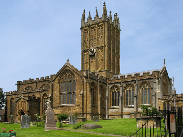
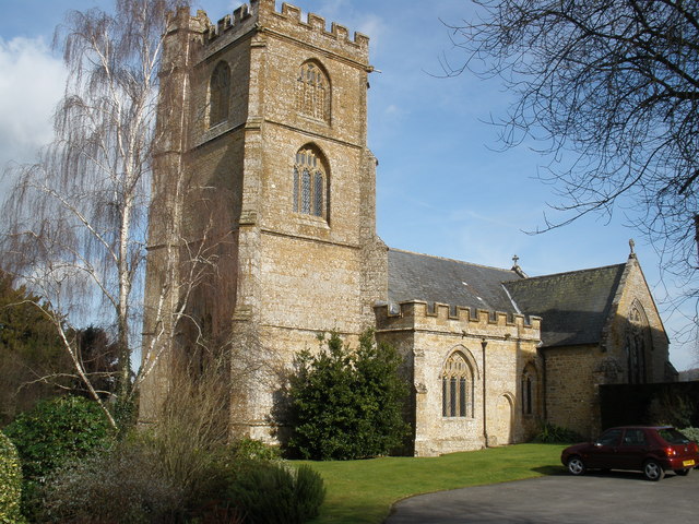
St Mary's Church, Ilminster

The Church of St Mary in Ilminster, Somerset, England, dates from the 15th century and has been designated as a Grade I listed building. == History... ==

Ilminster

Ilminster is a minster town and civil parish in the South Somerset district of Somerset, England, with a population of 5,808. Bypassed in 1988, the town...

Dillington House

Dillington House is a residential adult education college near Ilminster in the parish of Whitelackington, Somerset, England. The present house, which...

Church of St Mary the Virgin, Whitelackington

The Anglican Church of St Mary the Virgin in Whitelackington, Somerset, England was built in the 14th and 15th centuries. It is a Grade II* listed building...

Church of St Mary, Donyatt

The Anglican Church of st Mary in Donyatt, Somerset, England was built in the 15th century. It is a Grade II* listed building. == History == The church...

Kingstone, Somerset

Kingstone is a village and civil parish in Somerset, England, situated near Ilminster, 5 miles (8.0 km) north east of Chard in the South Somerset district...

Church of St Peter, Ilton

The Anglican Church of St Peter in Ilton, Somerset, England was built in the 14th century, incorporating fragments from 12th and 13th. It is a Grade II...

Ilton

Ilton is a village and civil parish in Somerset, England, situated 8 miles (12.9 km) south-east of Taunton, and 2 miles (3.2 km) north of Ilminster in...

Nearby Amenities

Located within 500m of 50.932129,-2.9138085
Recycling
Lat/Long: 50.9279243/-2.9137044
Barrier: cycle_barrier
Lat/Long: 50.9302799/-2.9139721
Crossing
Crossing: traffic_signals
Crossing Ref: pelican
Lat/Long: 50.9283459/-2.9136446
Telephone
Booth: K6
Covered: booth
Listed Status: Grade II
Mapillary: 530871854593365
Phone: +44 1460 52201
Survey Date: 2021-03-31
Lat/Long: 50.9282799/-2.9134271
Veterinary
Oak Apple Veterinary
Addr City: Ilminster
Addr Country: GB
Addr County: Somerset
Addr Housenumber: 10
Addr Postcode: TA19 9AB
Addr Street: West Street
Building: yes
Building Levels: 2
Opening Hours: 24/7
Phone: +44 1460 54541
Wheelchair: no
Lat/Long: 50.9284089/-2.9141133
Monkeypuzzle Computers Ltd
Addr City: Ilminster
Addr Country: GB
Addr County: Somerset
Addr Housenumber: 10
Addr Postcode: TA19 9AB
Addr Street: West Street
Building: yes
Building Levels: 2
Opening Hours: Mo-We,Fr 09:00-12:00,14:00-17:30
Phone: +44 1460 200 000
Shop: computer
Website: http://www.monkeypuzzlecomputers.com
Lat/Long: 50.928405/-2.9140425
Post Box
Collection Times: Mo-Fr 16:45; Sa 12:00
Drive Through: no
Operator: Royal Mail
Operator Wikidata: Q638098
Ref: TA19 86
Lat/Long: 50.9302492/-2.9169526
Post Box
Brand: Royal Mail
Brand Wikidata: Q638098
Collection Times: Mo-Fr 17:00; Sa 12:00
Drive Through: no
Operator: Royal Mail
Operator Wikidata: Q638098
Post Box Mounting: pier
Post Box Type: lamp
Ref: TA19 95
Royal Cypher: EIIR
Lat/Long: 50.9282579/-2.9134272
Generator Method: photovoltaic
Generator Output Electricity: yes
Generator Source: solar
Generator Type: solar_photovoltaic_panel
Location: roof
Power: generator
Lat/Long: 50.9319957/-2.9203047
Generator Method: photovoltaic
Generator Output Electricity: yes
Generator Source: solar
Generator Type: solar_photovoltaic_panel
Location: roof
Power: generator
Lat/Long: 50.9282665/-2.9146399
Generator Method: photovoltaic
Generator Output Electricity: yes
Generator Source: solar
Generator Type: solar_photovoltaic_panel
Location: roof
Power: generator
Lat/Long: 50.9279588/-2.9151964
Man Made: beacon
Lat/Long: 50.931201/-2.9099473
Power: pole
Lat/Long: 50.9308323/-2.9128675
Power: pole
Lat/Long: 50.9321868/-2.9119557
Power: pole
Lat/Long: 50.9320448/-2.9143214
Power: pole
Lat/Long: 50.9315195/-2.9124083
Power: pole
Lat/Long: 50.9301752/-2.9133744
Power: pole
Lat/Long: 50.9328822/-2.9115135
Power: pole
Lat/Long: 50.9336093/-2.9110676
Power: pole
Lat/Long: 50.9343681/-2.9106759
Power: pole
Lat/Long: 50.9354478/-2.9091951
Communication Mobile Phone: yes
Man Made: mast
Tower Type: communication
Lat/Long: 50.9326266/-2.90981
Power: pole
Lat/Long: 50.9348356/-2.9099346
Power: pole
Lat/Long: 50.9316444/-2.9138348
Barrier: cycle_barrier
Lat/Long: 50.9299626/-2.913934
Barrier: cycle_barrier
Lat/Long: 50.9299369/-2.9139304
Barrier: cycle_barrier
Lat/Long: 50.9295546/-2.913868
Charging Station
Fixme: Need to add specific details such as operator, number of chargers, capacity etc.
Lat/Long: 50.9279211/-2.9138447
The data included in this document is from www.openstreetmap.org. The data is made available under ODbL.

Have you been to Beacon Hill?

Leave your review of Beacon Hill below (or comments, questions and feedback).