Black Hill
Hill, Mountain in Banffshire
Scotland
Black Hill
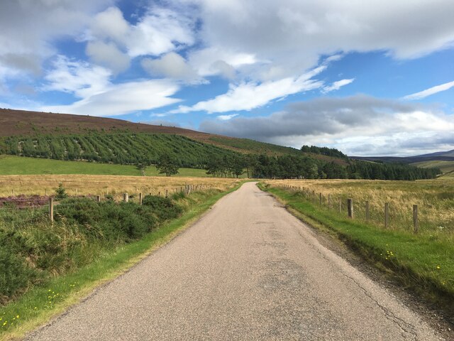
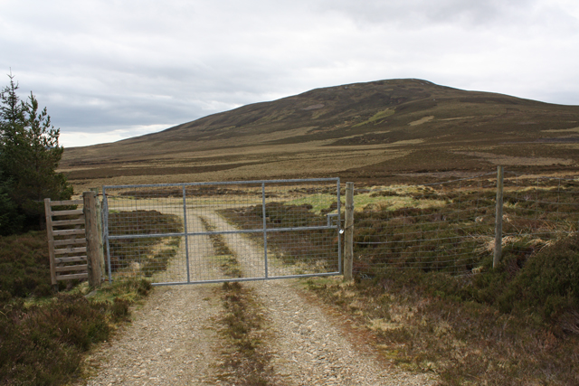
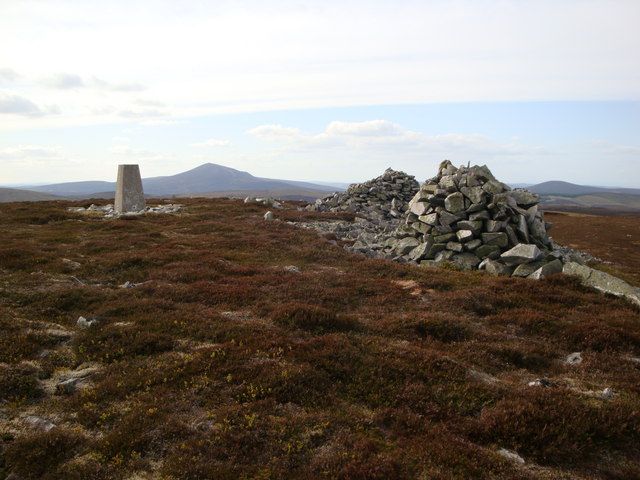
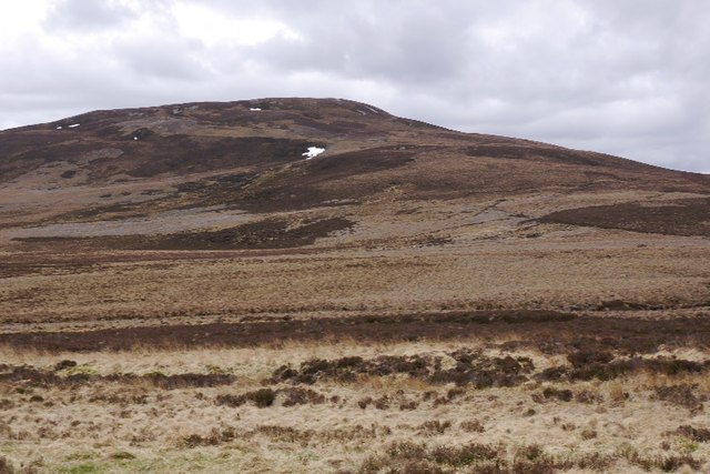
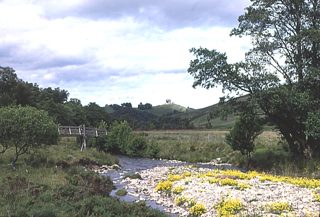
Black Hill, located in Banffshire, Scotland, is a prominent hill that stands tall in the picturesque landscape of the region. With an elevation of approximately 1,155 feet (352 meters), it is classified as a hill rather than a mountain. Its summit offers breathtaking panoramic views of the surrounding countryside, making it a popular destination for hikers and nature enthusiasts.
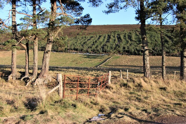
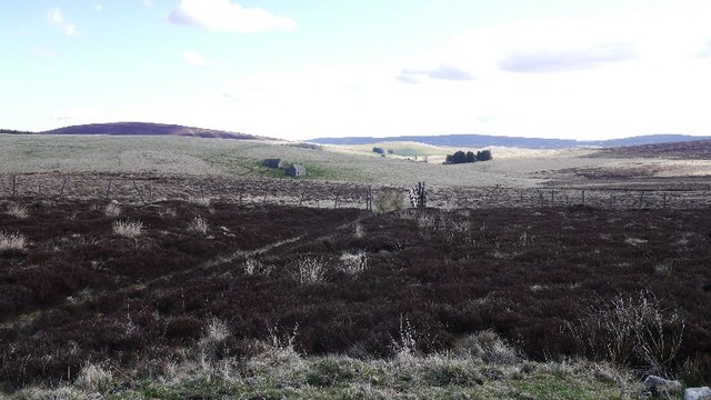
The hill is characterized by its distinctive conical shape and is covered in heather and grass, giving it a vibrant and colorful appearance. Its slopes are moderately steep but manageable, making it accessible to both experienced and novice hikers. The ascent to the summit takes around an hour, depending on one's pace, and is rewarded with stunning vistas of the rolling hills, lush green valleys, and sparkling lochs that dot the landscape.
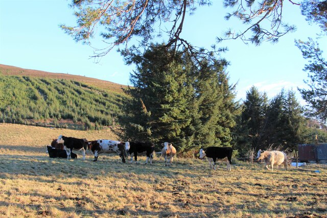
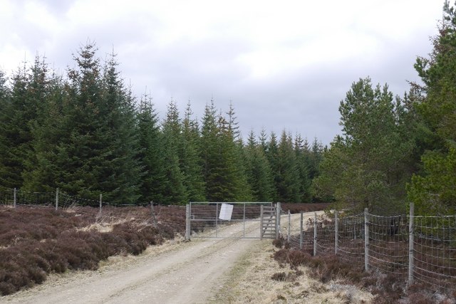
Black Hill is home to a diverse range of flora and fauna. The hillside supports a variety of plant species, including heather, bilberry, and mosses, providing a habitat for various small mammals and birds. It is not uncommon to spot red grouse, deer, and rabbits during a hike.
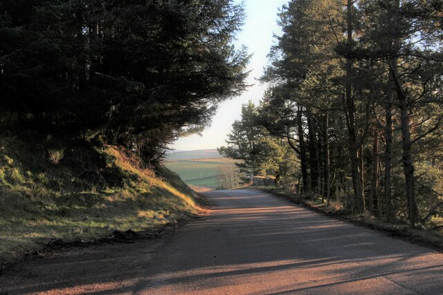
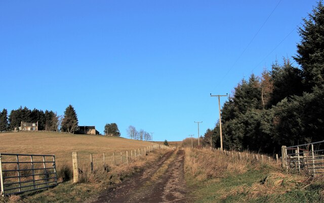
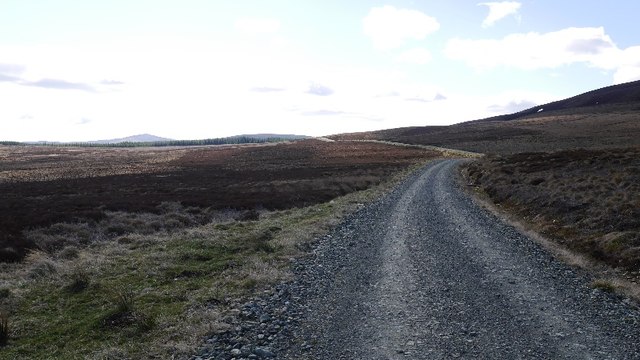
The hill is easily accessible via well-marked footpaths and trails, and there is ample parking available nearby. It is advised to wear appropriate clothing and footwear due to the unpredictable weather conditions that can change quickly at higher altitudes. Whether you are seeking a challenging hike or simply a peaceful escape into nature, Black Hill in Banffshire offers a memorable experience for all.
If you have any feedback on the listing, please let us know in the comments section below.
Black Hill Images
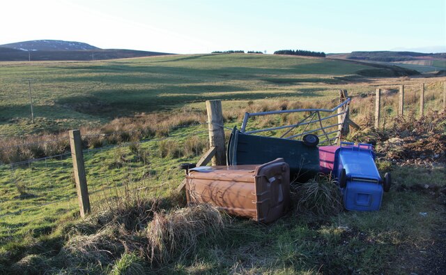
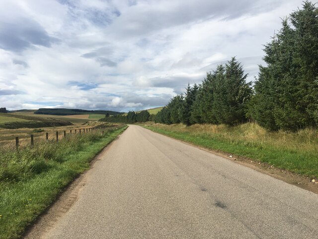
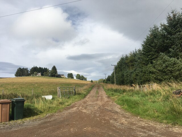
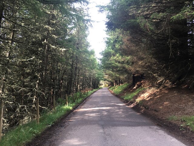
Images are sourced within 2km of 57.373762/-3.076444 or Grid Reference NJ3531. Thanks to Geograph Open Source API. All images are credited.


Black Hill is located at Grid Ref: NJ3531 (Lat: 57.373762, Lng: -3.076444)
Unitary Authority: Moray
Police Authority: North East
What 3 Words
///weeps.embarks.alarm. Near Dufftown, Moray
Nearby Locations
Related Wikis
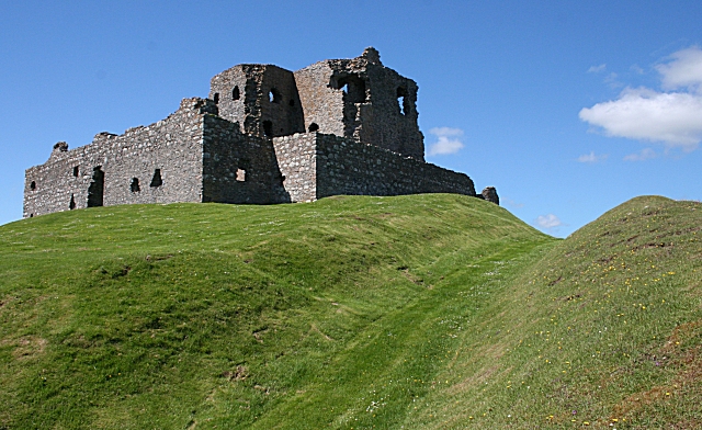
Auchindoun Castle
Auchindoun Castle is a 15th-century L-Plan tower castle located in Auchindoun near Dufftown in Moray, Scotland. == History == While there is evidence of...

Cabrach
The Cabrach (Scottish Gaelic: A' Chabrach, A' Chabraich) is an estate and largely depopulated rural community in Moray, Scotland. The meaning of the name...
River Fiddich
The River Fiddich (Scottish Gaelic: Fiodhach / Abhainn Fhiodhaich) is a right bank tributary of the River Spey in northeast Scotland. It rises on the eastern...
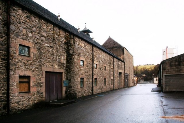
Dufftown distillery
Dufftown distillery is a Scotch whisky distillery in Dufftown, Moray, Scotland. Founded in 1895 as "Dufftown-Glenlivet Distillery", the distillery is currently...
Have you been to Black Hill?
Leave your review of Black Hill below (or comments, questions and feedback).