Bellie Hill

Hill, Mountain in Banffshire

Scotland

Bellie Hill

Gordon Castle Farm A patch of dandelions by the roadside makes a bright foreground for the house and buildings at Gordon Castle Farm.
Gordon Castle Farm Credit: Anne Burgess

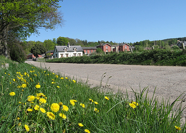
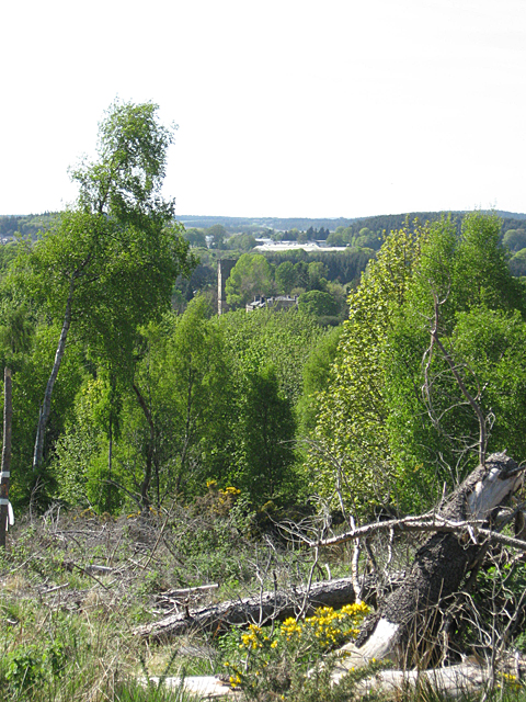
Bellie Hill is a prominent hill located in the county of Banffshire, Scotland. It stands at an elevation of approximately 207 meters (679 feet) above sea level, offering stunning panoramic views of the surrounding landscape. Situated near the picturesque town of Fochabers, Bellie Hill is a popular destination for outdoor enthusiasts and nature lovers.

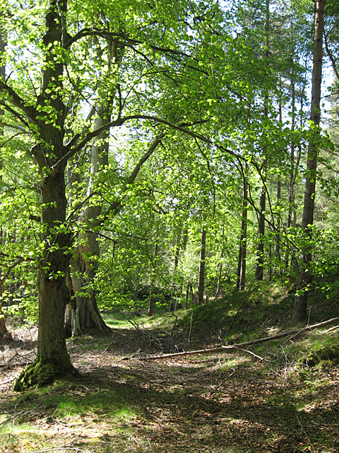
The hill is characterized by its gentle slopes and lush greenery, which are a result of the rich soil and favorable climatic conditions in the area. The summit of Bellie Hill is crowned with a distinctive cairn, a man-made pile of stones, which serves as a prominent landmark visible from afar.

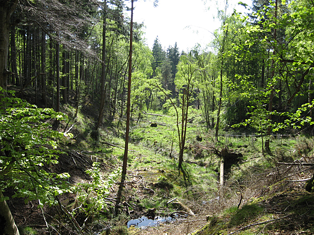
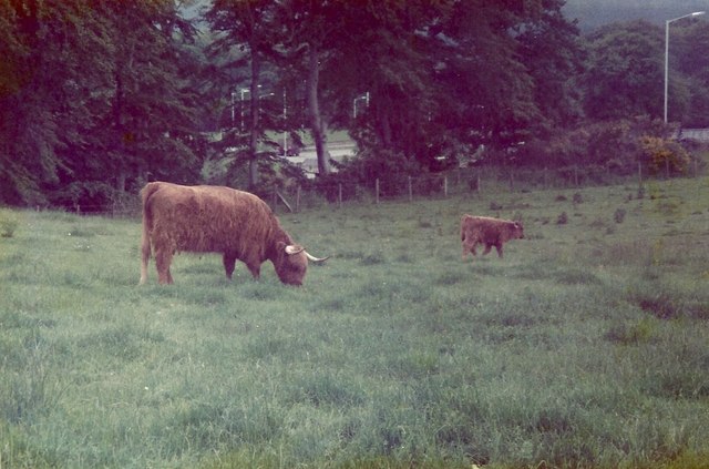
Bellie Hill is a haven for wildlife and is home to a diverse range of flora and fauna. The hillside is covered with a patchwork of heather, grasses, and wildflowers, providing a habitat for numerous species of birds, butterflies, and small mammals.

Hiking is a popular activity on Bellie Hill, with several well-marked trails leading to the summit. The paths are relatively easy to navigate, making the hill accessible to people of all ages and fitness levels. Along the way, walkers can enjoy the peaceful ambiance of the countryside and may encounter grazing sheep or cattle.

The hill also has historical significance, with traces of ancient settlements and burial sites found in the vicinity. These archaeological remains add an extra layer of intrigue to Bellie Hill, making it a fascinating destination for those interested in the region's past.

Overall, Bellie Hill offers a tranquil retreat where visitors can immerse themselves in nature, enjoy breathtaking views, and experience the rich cultural heritage of Banffshire.

If you have any feedback on the listing, please let us know in the comments section below.
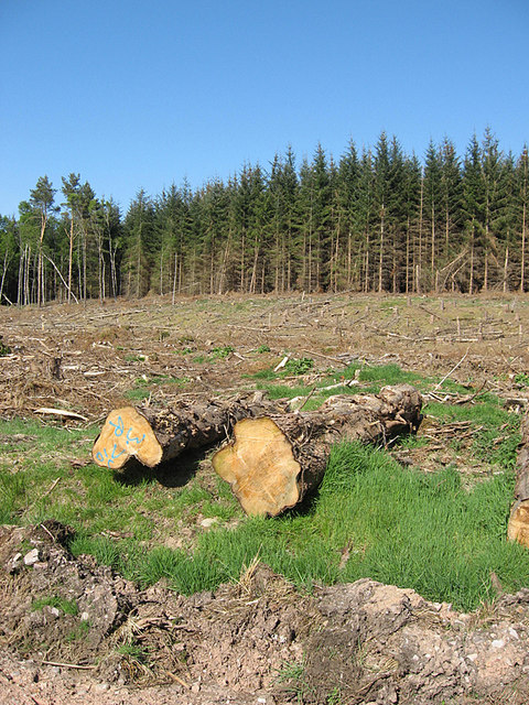
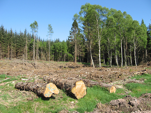
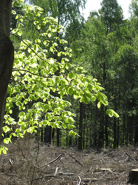
Bellie Hill Images

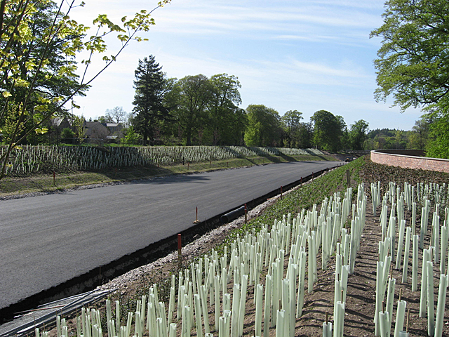
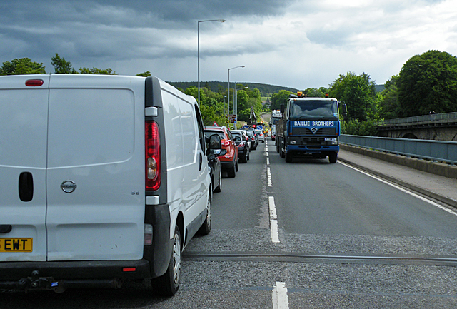
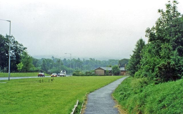
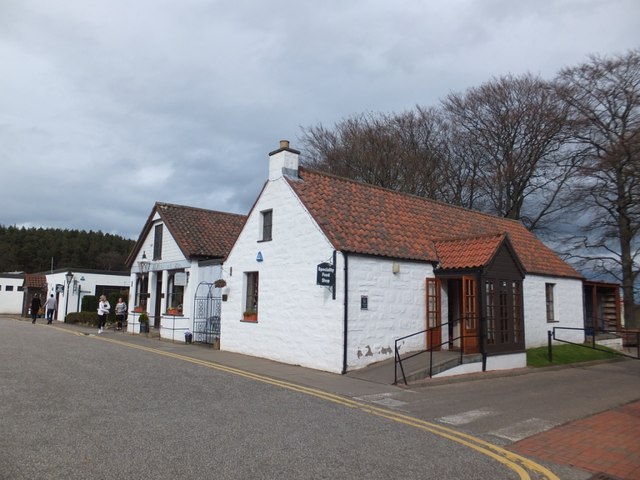
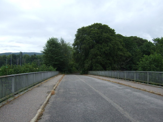
Images are sourced within 2km of 57.633074/-3.0843753 or Grid Reference NJ3560. Thanks to Geograph Open Source API. All images are credited.

Gordon Castle Farm A patch of dandelions by the roadside makes a bright foreground for the house and buildings at Gordon Castle Farm.
Gordon Castle Farm
A patch of dandelions by the roadside makes a bright foreground for the house and buildings at Gordon Castle Farm.
Wishart Burn The burn drains the area of woods known as Deer Park, eventually reaching the River Spey.
Wishart Burn
The burn drains the area of woods known as Deer Park, eventually reaching the River Spey.
Deer Park There seems to have been some kind of road here, now almost vanished among the beech woods. It has been bypassed by a newer track which can be used to take out timber from the plantations nearby.
Deer Park
There seems to have been some kind of road here, now almost vanished among the beech woods. It has been bypassed by a newer track which can be used to take out timber from the plantations nearby.
Gordon Castle and Baxters Having had to turn back when the track I was following degenerated into a whin-overgrown bicycle-unfriendly path, I noticed that from the track there is a glimpse through the trees of the roof and tower of Gordon Castle, with the expanse of buildings at Baxters of Speyside in the distance.
Gordon Castle and Baxters
Having had to turn back when the track I was following degenerated into a whin-overgrown bicycle-unfriendly path, I noticed that from the track there is a glimpse through the trees of the roof and tower of Gordon Castle, with the expanse of buildings at Baxters of Speyside in the distance.
Clear Fell on Deer Park A section of the conifer plantation on Deer Park has been felled.
Clear Fell on Deer Park
A section of the conifer plantation on Deer Park has been felled.
Deer Park Part of the conifer plantation has been felled, but the broadleaved trees have been left alone.
Deer Park
Part of the conifer plantation has been felled, but the broadleaved trees have been left alone.
Beech Leaves At this time of year, the beech leaves are a bright shade of pale green which to me is one of the marks of spring.
Beech Leaves
At this time of year, the beech leaves are a bright shade of pale green which to me is one of the marks of spring.
Gordon Castle Garden This archway is the entrance to the walled garden which served Gordon Castle. Brick retains warmth, so is preferred for walled gardens because it helps to encourage fruiting of trees trained up the wall. Some such trees are visible on the right.
Gordon Castle Garden
This archway is the entrance to the walled garden which served Gordon Castle. Brick retains warmth, so is preferred for walled gardens because it helps to encourage fruiting of trees trained up the wall. Some such trees are visible on the right.
Sheds at Gordon Castle Garden Old sheds and stores outside the walled garden. It looks as if there is little use being made of them now.
Sheds at Gordon Castle Garden
Old sheds and stores outside the walled garden. It looks as if there is little use being made of them now.
Tree Stump by the Cross The stone pillar is the Cross of the old village of Fochabers. In 1776 the Duke of Gordon, wishing to remove the huddle of cottages which had developed too close to Gordon Castle, had a new village laid out further south, and the tenants were transplanted to the new village. Only the old Cross remains to mark the spot. Somewhere near it was a large and renowned tree known as the Duchess Tree, commemorated in a tune by the composer William Marshall, but it isn't know exactly where it was. I don't think it was this stump, though it must have been a very large tree too.
Tree Stump by the Cross
The stone pillar is the Cross of the old village of Fochabers. In 1776 the Duke of Gordon, wishing to remove the huddle of cottages which had developed too close to Gordon Castle, had a new village laid out further south, and the tenants were transplanted to the new village. Only the old Cross remains to mark the spot. Somewhere near it was a large and renowned tree known as the Duchess Tree, commemorated in a tune by the composer William Marshall, but it isn't know exactly where it was. I don't think it was this stump, though it must have been a very large tree too.
The Cross The stone pillar is what is left of the Cross of the old village of Fochabers. In 1776 the Duke of Gordon, wishing to remove the huddle of cottages which had developed too close to Gordon Castle, had a new village laid out further south, and the tenants were transplanted to the new village. Only the old Cross remains to mark the spot. At one time there were jougs attached to it. These are a sort of collar which was used to chain malefactors to expose them to public ridicule.
The Cross
The stone pillar is what is left of the Cross of the old village of Fochabers. In 1776 the Duke of Gordon, wishing to remove the huddle of cottages which had developed too close to Gordon Castle, had a new village laid out further south, and the tenants were transplanted to the new village. Only the old Cross remains to mark the spot. At one time there were jougs attached to it. These are a sort of collar which was used to chain malefactors to expose them to public ridicule.
Gordon Castle Lake The tranquil surroundings of the lake are even quieter now, because the direct access from the village has been cut off by the bypass roadworks. To reach the lake now means a detour longer than the walk round it when you get there. As a consequence there have been few people feeding the ducks, and the population today is markedly smaller than it used to be. The reflections of the beeches which lean down to the water are unchanged.
Gordon Castle Lake
The tranquil surroundings of the lake are even quieter now, because the direct access from the village has been cut off by the bypass roadworks. To reach the lake now means a detour longer than the walk round it when you get there. As a consequence there have been few people feeding the ducks, and the population today is markedly smaller than it used to be. The reflections of the beeches which lean down to the water are unchanged.
Fochabers Bypass This section of the new bypass looks almost complete. It is sad that the bypass was inadequate, and in the wrong place, before the first divot was cut for its construction. There is just room for a single carriageway here between Gordon Chapel and Gordon Castle Lake, so when the traffic, as it inevitably will, outgrows a single carriageway there will be no possibility of widening the road. There was almost complete agreement locally that the bypass should go south of the village, but the Powers That Be rejected this on grounds of cost.
Fochabers Bypass
This section of the new bypass looks almost complete. It is sad that the bypass was inadequate, and in the wrong place, before the first divot was cut for its construction. There is just room for a single carriageway here between Gordon Chapel and Gordon Castle Lake, so when the traffic, as it inevitably will, outgrows a single carriageway there will be no possibility of widening the road. There was almost complete agreement locally that the bypass should go south of the village, but the Powers That Be rejected this on grounds of cost.
The Great Spey Bridge Traffic Jam This was taken exactly ten minutes after <a href="https://www.geograph.org.uk/photo/2404385">NJ3359 : The Great Mosstodloch Traffic Jam</a>, less than half a mile away. It doesn't do to be in a hurry to get home these days if home is anywhere near the A96. Come to think of it, it never does to be in a hurry if where you're going involves the A96; it's just that it's much worse than usual these days.
The Great Spey Bridge Traffic Jam
This was taken exactly ten minutes after NJ3359 : The Great Mosstodloch Traffic Jam, less than half a mile away. It doesn't do to be in a hurry to get home these days if home is anywhere near the A96. Come to think of it, it never does to be in a hurry if where you're going involves the A96; it's just that it's much worse than usual these days.
Approximate site of former Fochabers Town station, 1997 View eastward, on the A96 approaching the Spey Bridge. Fochabers Town station, the terminus of the ex-Highland Railway branch from Orbliston Junction, had been on the right: it was closed to passengers from 14/9/31 but the branch survived for goods until 28/3/66.
Approximate site of former Fochabers Town station, 1997
View eastward, on the A96 approaching the Spey Bridge. Fochabers Town station, the terminus of the ex-Highland Railway branch from Orbliston Junction, had been on the right: it was closed to passengers from 14/9/31 but the branch survived for goods until 28/3/66.
Ena Baxter's Heilan' Coos
Retail units at Baxters Visitor Centre, Fochabers
Cycle track towards Fochabers Old bridge over the River Spey.
Cycle track towards Fochabers
Old bridge over the River Spey.
Show me another place!

Bellie Hill is located at Grid Ref: NJ3560 (Lat: 57.633074, Lng: -3.0843753)

Unitary Authority: Moray

Police Authority: North East

What 3 Words

///perfect.morphing.cloud. Near Fochabers, Moray

Related Wikis

Gordon Tomb

The Gordon Tomb is a classical colonnaded mausoleum in the parish of Bellie in Moray, Scotland. It houses the sarcophagi of the second wife of the 4th...

Old Church of St John

The Old Church of St John is a ruined church, incorporating a finely carved sacrament house and situated within a historic burial ground in Kirktown of...

Gordon Castle

Gordon Castle is a country house located near Fochabers in the parish of Bellie in Moray, Scotland. It was the principal seat of the Dukes of Gordon and...

Mosstodloch

Mosstodloch (Scottish Gaelic: Mos Tudlach) is a small village in Moray, Scotland, lying near the A96 between Fochabers and Elgin on the west bank of the...

Nearby Amenities

Located within 500m of 57.633074,-3.0843753
Power: pole
Lat/Long: 57.6349421/-3.0850003
Power: pole
Lat/Long: 57.6352139/-3.0840991
Power: pole
Lat/Long: 57.6354335/-3.0833963
Power: pole
Lat/Long: 57.6358151/-3.0821421
Power: pole
Lat/Long: 57.6362111/-3.0808609
Power: pole
Lat/Long: 57.6365783/-3.0796369
Power: pole
Lat/Long: 57.6349439/-3.0779002
Power: pole
Lat/Long: 57.6345497/-3.0774782
Power: pole
Lat/Long: 57.6338243/-3.0767115
Bellie Hill
Natural: hill
Place: locality
Lat/Long: 57.6328821/-3.0825798
Den Farm
Place: hamlet
Lat/Long: 57.6332727/-3.0790929
Bellie
Name Gd: Bealaidh
Place: hamlet
Wikidata: Q3637791
Wikipedia: en:Bellie
Lat/Long: 57.6345879/-3.0859593
The data included in this document is from www.openstreetmap.org. The data is made available under ODbL.

Have you been to Bellie Hill?

Leave your review of Bellie Hill below (or comments, questions and feedback).