Causeway Grain Head
Hill, Mountain in Roxburghshire
Scotland
Causeway Grain Head

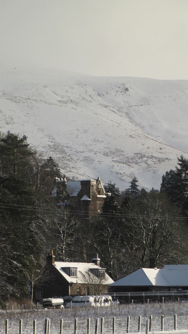
Causeway Grain Head is a prominent hill situated in Roxburghshire, a county located in the Scottish Borders region of Scotland. It is a significant landmark that stands at an elevation of approximately 1,351 feet (412 meters) above sea level. The hill is part of the stunning Southern Uplands range, which is characterized by rolling hills and breathtaking landscapes.
The summit of Causeway Grain Head offers panoramic views of the surrounding countryside, making it a popular destination for hikers and nature enthusiasts. Its position provides an excellent vantage point to observe the picturesque valleys, lush green meadows, and winding rivers that grace the region. On clear days, visitors can even catch a glimpse of the distant Cheviot Hills, located to the south.
The hill is accessible via well-maintained footpaths that wind through the heather-covered slopes. The terrain can be challenging in some areas, with steep ascents and rocky paths, but the reward at the top is well worth the effort. The journey to the summit is an opportunity to encounter a variety of wildlife, including red grouse, mountain hares, and a multitude of bird species.
Aside from its natural beauty, Causeway Grain Head is also known for its historical significance. The area is scattered with remnants of ancient settlements, including cairns, stone circles, and burial mounds, indicating human presence dating back thousands of years.
Overall, Causeway Grain Head is a captivating hill in Roxburghshire, offering visitors a chance to immerse themselves in the stunning Scottish countryside while also exploring its rich historical heritage.
If you have any feedback on the listing, please let us know in the comments section below.
Causeway Grain Head Images
Images are sourced within 2km of 55.279157/-3.0201313 or Grid Reference NY3598. Thanks to Geograph Open Source API. All images are credited.


Causeway Grain Head is located at Grid Ref: NY3598 (Lat: 55.279157, Lng: -3.0201313)
Unitary Authority: The Scottish Borders
Police Authority: The Lothians and Scottish Borders
What 3 Words
///directs.shapeless.captions. Near Teviothead, Scottish Borders
Nearby Locations
Related Wikis

Unthank, Dumfries and Galloway
Unthank is a village in Dumfries and Galloway, Scotland. == References == The geographic coordinates are from the Ordnance Survey.

River Teviot
The River Teviot (; Scottish Gaelic: Abhainn Tìbhiot), or Teviot Water, is a river of the Scottish Borders area of Scotland, and is the largest tributary...

Caerlanrig
Caerlanrig - also spelled 'Carlenrig' - (Gaelic: Cathair Lannraig) is a hamlet in the parish of Cavers, Borders, Scotland, lying on the River Teviot, 6...
Arkleton
Arkleton is a mansion and estate in the civil parish of Ewes, in Dumfries and Galloway, Scotland. Arkleton House was built in 1860/1884 and incorporates...
Nearby Amenities
Located within 500m of 55.279157,-3.0201313Have you been to Causeway Grain Head?
Leave your review of Causeway Grain Head below (or comments, questions and feedback).