Glede Knowe

Hill, Mountain in Peeblesshire

Scotland

Glede Knowe

Summit, Dod Hill
Summit, Dod Hill Credit: Richard Webb

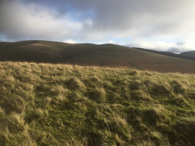
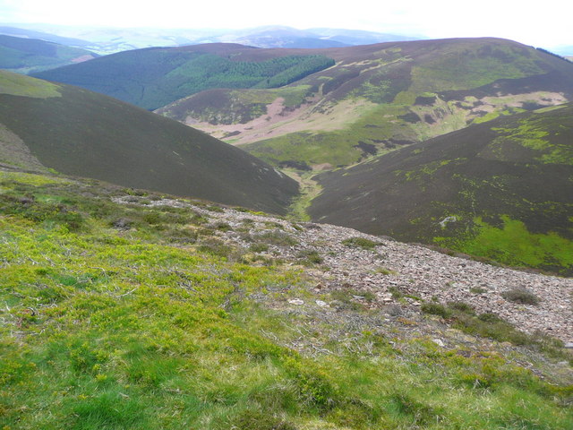
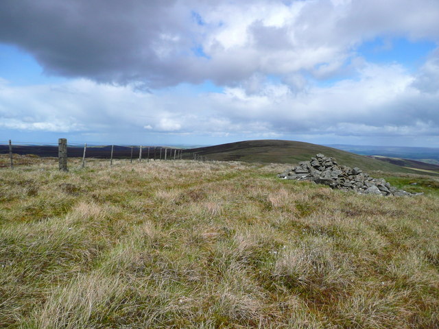
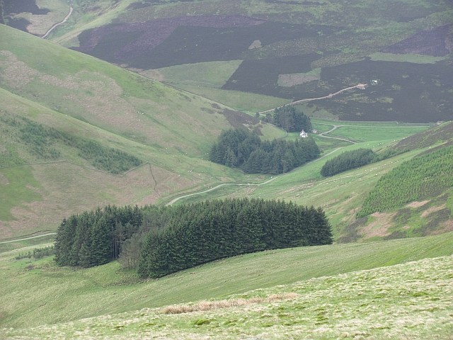
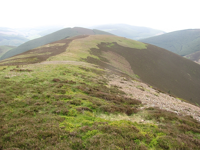
Glede Knowe is a prominent hill located in Peeblesshire, Scotland. Situated in the southern part of the county, it forms part of the scenic landscape of the Scottish Borders region. Rising to an elevation of approximately 500 meters (1,640 feet), Glede Knowe offers breathtaking panoramic views of the surrounding countryside.

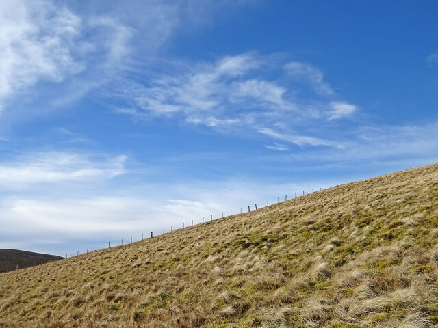
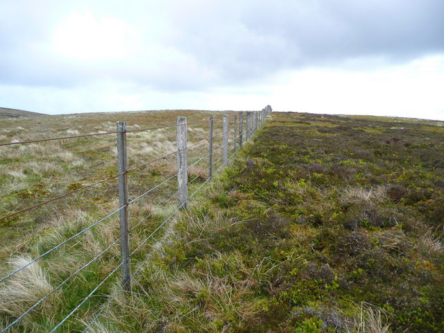
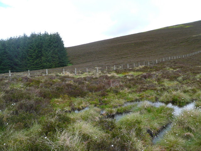
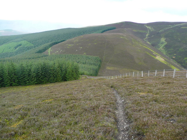
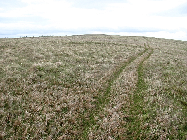
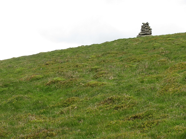
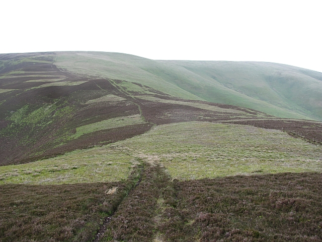
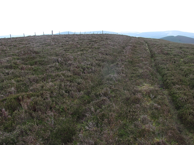
The hill is characterized by its gently sloping sides and a rounded summit that provides a relatively easy ascent for hikers and nature enthusiasts. Its slopes are covered with a mixture of heather, grasses, and ferns, creating a picturesque setting throughout the year. The hill is also home to a diverse range of wildlife, including various bird species, such as kestrels and buzzards, which can often be spotted soaring above.

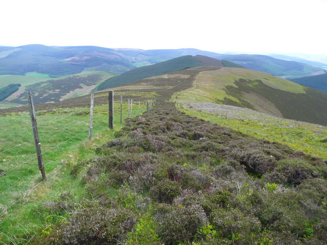
Glede Knowe is a popular destination for outdoor activities, attracting hikers, walkers, and nature lovers alike. Several well-maintained trails and footpaths traverse its slopes, allowing visitors to explore its natural beauty at their own pace. The hill's location near Peebles, a town renowned for its outdoor pursuits, makes it easily accessible for both locals and tourists.

In addition to its natural appeal, Glede Knowe holds historical significance. The hill is believed to have been used as a lookout point during various periods of Scottish history, offering strategic advantages due to its elevated position. Its name, "Glede Knowe," is derived from the Old English word "glede," meaning a bird of prey, highlighting the hill's association with birds and nature.

If you have any feedback on the listing, please let us know in the comments section below.

Glede Knowe Images

Images are sourced within 2km of 55.661264/-3.0312574 or Grid Reference NT3541. Thanks to Geograph Open Source API. All images are credited.

Summit, Dod Hill
Summit, Dod Hill
Ridge off Dod Hill View towards the south top of Windlestraw Law.
Ridge off Dod Hill
View towards the south top of Windlestraw Law.
Fence on Windlestraw Law Descending from the southern top of Windlestraw Law on a lovely but bitterly cold day.
Fence on Windlestraw Law
Descending from the southern top of Windlestraw Law on a lovely but bitterly cold day.
Western slopes of Scawd Law Looking down to the Walker Burn and over to Priesthope Hill (right) and Kirnie Law (left).
Western slopes of Scawd Law
Looking down to the Walker Burn and over to Priesthope Hill (right) and Kirnie Law (left).
Fence on Scawd Law south ridge Cairn Hill is the summit in the distance with tree planting on each side.
Fence on Scawd Law south ridge
Cairn Hill is the summit in the distance with tree planting on each side.
Cairn on the south summit of Windlestraw Law The north, and higher, summit is the rise in the distance.
Cairn on the south summit of Windlestraw Law
The north, and higher, summit is the rise in the distance.
Fence on the SW ridge of Windlestraw Law
Soggy ground on the west ridge of Glede Knowe
Struggling up Corby Craigs The path here is indistinct and morale is damaged by losing a lot of height from Priesthope Hill.  The initial descent is on the forest side of the fence and the path is eroded and awkward - cross the fence as soon as possible!
Struggling up Corby Craigs
The path here is indistinct and morale is damaged by losing a lot of height from Priesthope Hill. The initial descent is on the forest side of the fence and the path is eroded and awkward - cross the fence as soon as possible!
The approach to Glede Knowe from Priesthope Hill The path descending here becomes eroded and awkward as it closes the forest - cross the fence to the other side as soon as possible!
The approach to Glede Knowe from Priesthope Hill
The path descending here becomes eroded and awkward as it closes the forest - cross the fence to the other side as soon as possible!
On Windlestraw Law A quad bike track to the east of the boggy crest of the ridge between the two highest summits.
On Windlestraw Law
A quad bike track to the east of the boggy crest of the ridge between the two highest summits.
Coronation Wood Looking down Black Cleuch Rig towards the once "E" shaped wood. The lower bit of the letter has been felled and replanted.
Coronation Wood
Looking down Black Cleuch Rig towards the once "E" shaped wood. The lower bit of the letter has been felled and replanted.
Cairn on Windlestraw Law The cairn is below the south top in a position which makes it visible on the skyline when looking up from Caberstongrains.
Cairn on Windlestraw Law
The cairn is below the south top in a position which makes it visible on the skyline when looking up from Caberstongrains.
North ridge, Scawd Law The ridge continues over Plover Knowe towards Windlestraw Law. It is quite dry underfoot.
North ridge, Scawd Law
The ridge continues over Plover Knowe towards Windlestraw Law. It is quite dry underfoot.
Scawd Law The heathery summit. Scawd Law is a very distinctive top with two steep sides south of Windlestraw Law.
Scawd Law
The heathery summit. Scawd Law is a very distinctive top with two steep sides south of Windlestraw Law.
Coronation Wood and Scawd Law View down Gate Hope / Early Hope from Seathope Rig. The E shaped Coronation Wood has lost its foot and has been replanted there.
Coronation Wood and Scawd Law
View down Gate Hope / Early Hope from Seathope Rig. The E shaped Coronation Wood has lost its foot and has been replanted there.
Plover Knowe A ridge off Windlestraw Law towards Scawd Law
Plover Knowe
A ridge off Windlestraw Law towards Scawd Law
South ridge, Scawd Law The ridge descends gently towards Cairn Hill.
South ridge, Scawd Law
The ridge descends gently towards Cairn Hill.
Show me another place!

Glede Knowe is located at Grid Ref: NT3541 (Lat: 55.661264, Lng: -3.0312574)

Unitary Authority: The Scottish Borders

Police Authority: The Lothians and Scottish Borders

What 3 Words

///cleansed.remaking.foresight. Near Innerleithen, Scottish Borders

Nearby Locations

Glede Knowe

Related Wikis

Windlestraw Law

Windlestraw Law is a hill in the Moorfoot Hills range, part of the Southern Uplands of Scotland. It is the highest peak of the range, and lies north of...

Walkerburn

Walkerburn (Scottish Gaelic: Allt an Fhùcadair) is a small village in the Scottish Borders area of Scotland, on the A72 about 8 miles (13 km) from Peebles...

The Kirna

The Kirna, known locally as Kirna House (previously also as Grangehill), is a Category A listed villa in Walkerburn, Peeblesshire, Scotland. It is one...

Walkerburn railway station

Walkerburn railway station served the village of Walkerburn, Scottish Borders, Scotland from 1867 to 1962 on the Peebles Railway. == History == The station...

Nearby Amenities

Located within 500m of 55.661264,-3.0312574
Glede Knowe
Ele: 591
Place: locality
Lat/Long: 55.6611703/-3.0311555
The data included in this document is from www.openstreetmap.org. The data is made available under ODbL.

Have you been to Glede Knowe?

Leave your review of Glede Knowe below (or comments, questions and feedback).