Bleaberry Hill

Hill, Mountain in Lancashire South Lakeland

England

Bleaberry Hill

Lane to Graythwaite
Lane to Graythwaite Credit: Colin Pyle

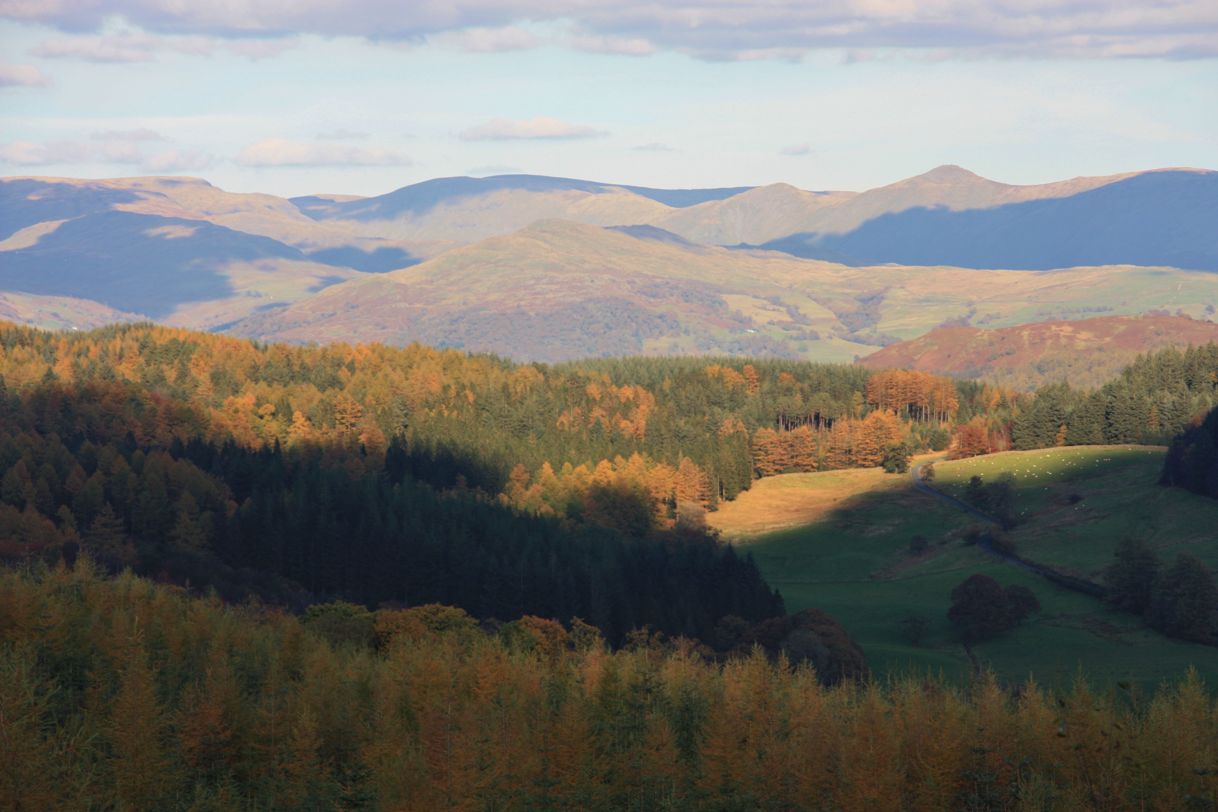
Bleaberry Hill is a prominent hill located in Lancashire, England. It is part of the Pennine Hills, which form the backbone of northern England. Standing at an elevation of approximately 1,712 feet (522 meters), Bleaberry Hill offers breathtaking panoramic views of the surrounding countryside.

The hill is characterized by its gentle slopes and rocky outcrops, covered in heather and grasses. It is a popular destination for hikers, nature enthusiasts, and photographers due to its accessible trails and stunning vistas. The hill is also home to a variety of wildlife, including birds of prey, such as kestrels and buzzards, as well as smaller mammals like rabbits and hares.

The ascent to Bleaberry Hill can be achieved from various starting points, with the most common being from the nearby village of Caton. From there, hikers can follow well-marked paths that wind through fields and woodland, gradually gaining elevation. The final stretch to the summit is more challenging, requiring some scrambling over rocks, but the effort is rewarded by the magnificent views.

On a clear day, visitors to Bleaberry Hill can see as far as the Lake District to the north and the Yorkshire Dales to the east. The hill's vantage point also provides a great opportunity for stargazing and watching the sunset.

Overall, Bleaberry Hill offers a memorable outdoor experience for those seeking natural beauty and a sense of adventure in the Lancashire countryside.

If you have any feedback on the listing, please let us know in the comments section below.

Bleaberry Hill Images

Images are sourced within 2km of 54.332164/-3.0003738 or Grid Reference SD3593. Thanks to Geograph Open Source API. All images are credited.

Lane to Graythwaite
Lane to Graythwaite
Lane nearing Graythwaite Sawmill
Forestry road, Grizedale Forest
Rivet Benchmark on Track Between Grizedale and Estwaite Benchmark description here <span class="nowrap"><a title="https://www.bench-marks.org.uk/bm187890" rel="nofollow ugc noopener" href="https://www.bench-marks.org.uk/bm187890">Link</a><img style="margin-left:2px;" alt="External link" title="External link - shift click to open in new window" src="https://s1.geograph.org.uk/img/external.png" width="10" height="10"/></span>
Rivet Benchmark on Track Between Grizedale and Estwaite
Benchmark description here LinkExternal link
Rivet Benchmark on Track Between Grizedale and Estwaite Benchmark description here <span class="nowrap"><a title="https://www.bench-marks.org.uk/bm187892" rel="nofollow ugc noopener" href="https://www.bench-marks.org.uk/bm187892">Link</a><img style="margin-left:2px;" alt="External link" title="External link - shift click to open in new window" src="https://s1.geograph.org.uk/img/external.png" width="10" height="10"/></span>
Rivet Benchmark on Track Between Grizedale and Estwaite
Benchmark description here LinkExternal link
Rivet Benchmark on Track Between Grizedale and Estwaite Benchmark description here <span class="nowrap"><a title="https://www.bench-marks.org.uk/bm187894" rel="nofollow ugc noopener" href="https://www.bench-marks.org.uk/bm187894">Link</a><img style="margin-left:2px;" alt="External link" title="External link - shift click to open in new window" src="https://s1.geograph.org.uk/img/external.png" width="10" height="10"/></span>
Rivet Benchmark on Track Between Grizedale and Estwaite
Benchmark description here LinkExternal link
Old Bridge Marker on Satterthwaite Bridge Bridge Marker inscribed in a stone block set in the parapet of Satterthwaite Bridge, Force Beck, on the northwest side of the road between Force Mills and Satterthwaite. Satterthwaite parish. 

Milestone Society National ID: LA_SATT03br
Old Bridge Marker on Satterthwaite Bridge
Bridge Marker inscribed in a stone block set in the parapet of Satterthwaite Bridge, Force Beck, on the northwest side of the road between Force Mills and Satterthwaite. Satterthwaite parish. Milestone Society National ID: LA_SATT03br
Grizedale Meadowland in the valley
Grizedale
Meadowland in the valley
'Some Fern' (detail) A sculpture by Kerry Morrison, one of the 54 sculptures in Grizedale Forest
'Some Fern' (detail)
A sculpture by Kerry Morrison, one of the 54 sculptures in Grizedale Forest
Grizedale Tarn
Grizedale Tarn
'Sheltered Seat' A sculpture by Jim Partridge & Liz Walmsley, one of the 54 sculptures in Grizedale Forest
'Sheltered Seat'
A sculpture by Jim Partridge & Liz Walmsley, one of the 54 sculptures in Grizedale Forest
Path in Grizedale Forest
Small lake in Grizedale Forest
The Yan and the remaining garden terrace of Grizedale Hall Grizedale Hall was demolished in 1957. The Yan (Cumbrian for 'One') was built in 2008 for the Forestyry Commission visitor centre. It was empty and seemingly unused on this visit.
The Yan and the remaining garden terrace of Grizedale Hall
Grizedale Hall was demolished in 1957. The Yan (Cumbrian for 'One') was built in 2008 for the Forestyry Commission visitor centre. It was empty and seemingly unused on this visit.
Path in Grizedale Forest
Water supply feature in Grizedale Forest It's actual purpose is a mystery to me, possibly connected with the water supply to Grizedale Hall.
Water supply feature in Grizedale Forest
It's actual purpose is a mystery to me, possibly connected with the water supply to Grizedale Hall.
Zip wires in Grizedale Forest There are 7 zip lines in the forest with a total length of 3000m
Zip wires in Grizedale Forest
There are 7 zip lines in the forest with a total length of 3000m
'Red Sandstone Fox' A sculpture by Gordon Young, one of 54 sculptures in Grizedale Forest.
'Red Sandstone Fox'
A sculpture by Gordon Young, one of 54 sculptures in Grizedale Forest.
Show me another place!

Bleaberry Hill is located at Grid Ref: SD3593 (Lat: 54.332164, Lng: -3.0003738)

Administrative County: Cumbria

District: South Lakeland

Police Authority: Cumbria

What 3 Words

///cheesy.disbelief.reward. Near Windermere, Cumbria

Related Wikis

Satterthwaite

Satterthwaite is a small village (and civil parish) with around 50 dwellings situated in Grizedale, a valley in the Lake District, England, about four...
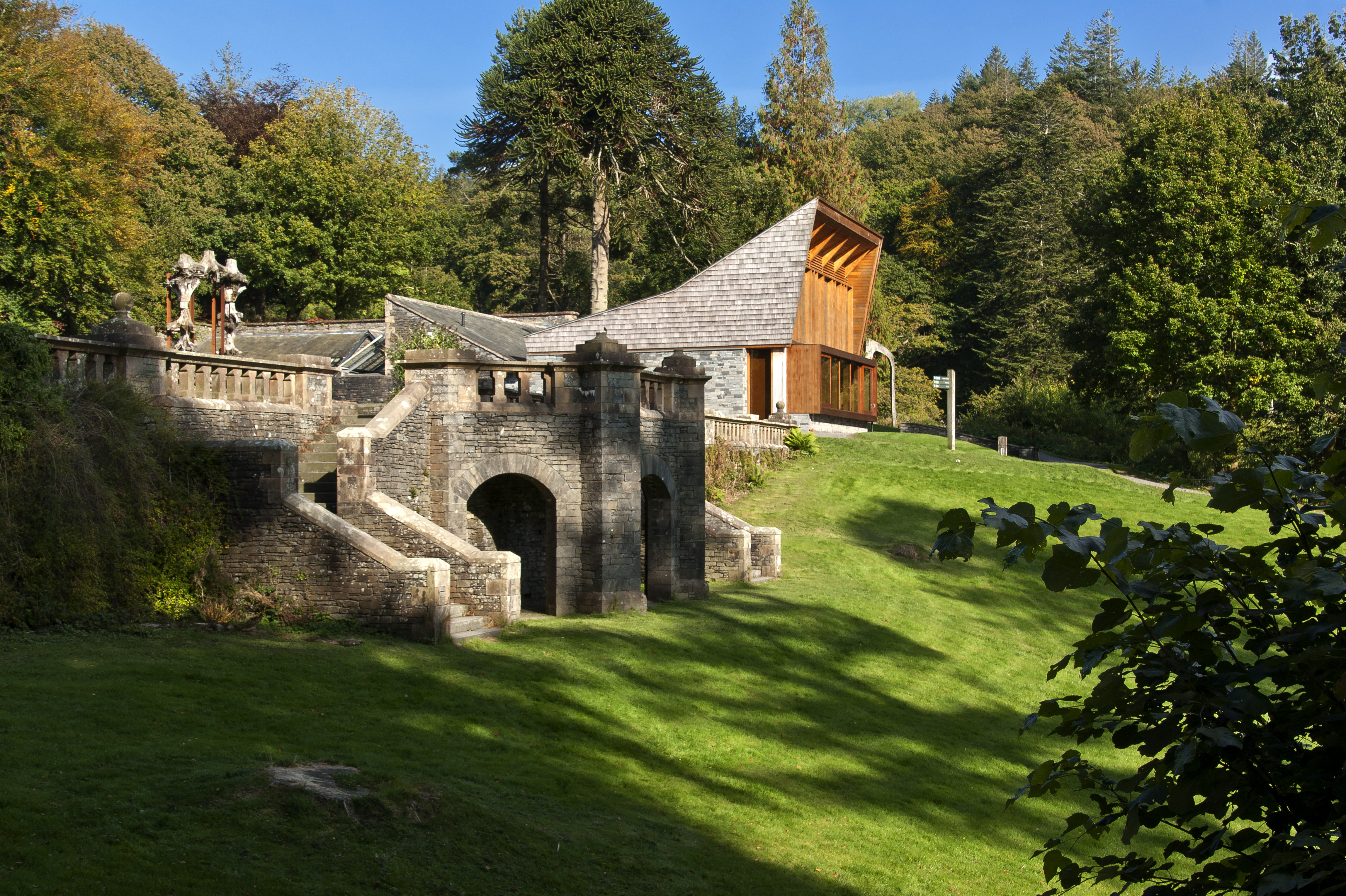
Grizedale Hall

Grizedale Hall was a large country house at Grizedale, Hawkshead, in the Lake District in Cumbria, England. After two earlier Grizedale Halls had preceded...

Grizedale Forest

Grizedale Forest is a 24.47 km2 area of woodland in the Lake District of North West England, located to the east of Coniston Water and to the south of...

Grizedale

Grizedale is a hamlet in the Lake District of North West England, in the middle of the Grizedale Forest, located north of Satterthwaite and south of Hawkshead...

Esthwaite Water

Esthwaite Water is one of the smaller and lesser known lakes in the Lake District National Park in northern England. It is situated between the much larger...

Satterthwaite & Rusland School

Satterthwaite & Rusland School was a Church of England Primary school near Force Forge in the Rusland Valley. The school was established in 1840 for children...
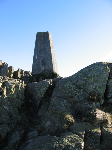
Carron Crag

Carron Crag is a small fell in Grizedale Forest in the English Lake District with a height of 314 metres (1,030 ft). Adjacent to the trig point is a large...

Hill Top, Cumbria

Hill Top is a 17th-century house in Near Sawrey near Hawkshead, in the English county of Cumbria. It is an example of Lakeland vernacular architecture...

Related Videos

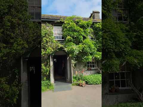
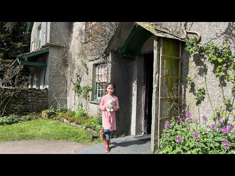
Walking Adventures at Hilltop, the home of Beatrix Potter

Exploring the magical home and farm of Beatrix Potter, that wonderful children's author of many books including Peter Rabbit.

Easter Glamping at Grizedale campsite in the Lake District, Gummers How, Hawkshead and Windermere 4k

Long weekend in the lakes camping at Grizedale, climbing Gummers how, views over Windermere. Passing Bowness and ...

Beatrice's New Chapter | Lake District | Hill Top | Beatrix Potter's Cottage

Over the Easter Holiday, I went to Cumbria with my family. Cumbria is located in North West England. Day 1 The Promenade at ...

Grizedale Forest - September 2014

A nice trip to Grizedale Forest Visitor Centre with the kids. Just archiving some old videos!

Nearby Amenities

Located within 500m of 54.332164,-3.0003738
Beckfold Cottage
Local Ref: AT
Naptan AtcoCode: 090079590738
Naptan Bearing: N
Naptan BusStopType: CUS
Naptan CommonName: Beckfold Cottage
Naptan Indicator: at
Naptan Landmark: Beckfold Cottage
Naptan NaptanCode: cumdmdpt
Naptan Street: No name
Naptan Verified: no
Source: naptan_import
Lat/Long: 54.3305952/-2.9959077
High Dale Park
Place: hamlet
Lat/Long: 54.3306803/-2.9956941
Information: guidepost
Tourism: information
Lat/Long: 54.3303298/-2.9958559
Information: guidepost
Tourism: information
Lat/Long: 54.3306174/-2.9959925
Power: pole
Lat/Long: 54.3307461/-2.9949141
The data included in this document is from www.openstreetmap.org. The data is made available under ODbL.

Have you been to Bleaberry Hill?

Leave your review of Bleaberry Hill below (or comments, questions and feedback).