Coultra Hill

Hill, Mountain in Fife

Scotland

Coultra Hill

Remains of Balmerino Abbey The Cistercian abbey was founded in 1227 and suppressed at the Reformation.   Scheduled monument SM827: <span class="nowrap"><a title="https://portal.historicenvironment.scot/designation/SM827" rel="nofollow ugc noopener" href="https://portal.historicenvironment.scot/designation/SM827">Link</a><img style="margin-left:2px;" alt="External link" title="External link - shift click to open in new window" src="https://s1.geograph.org.uk/img/external.png" width="10" height="10"/></span> .
Remains of Balmerino Abbey Credit: Bill Harrison

Coultra Hill, located in Fife, Scotland, is a prominent hill/mountain that stands at an elevation of approximately 392 meters (1,286 feet) above sea level. It is situated near the village of Gateside, about 8 kilometers (5 miles) northeast of the town of Auchtermuchty. Coultra Hill is part of the Lomond Hills Regional Park, which covers an area of around 65 square kilometers (25 square miles) and is renowned for its stunning landscapes and abundant wildlife.

The hill is characterized by its distinctive conical shape, with its summit offering panoramic views of the surrounding countryside, including the nearby Lomond Hills. It is a popular destination for hikers, nature enthusiasts, and photographers, who are drawn to its natural beauty and peaceful ambiance. The ascent to the summit can be challenging but rewarding, with well-defined paths and trails leading through heather-covered slopes and woodlands.

The hill is also home to a variety of flora and fauna, including heather, gorse, and a diverse range of bird species, such as pheasants, buzzards, and curlews. Moreover, Coultra Hill has a rich historical significance, with evidence of ancient settlements and burial sites in the surrounding area.

Due to its accessibility and picturesque surroundings, Coultra Hill offers a wonderful opportunity to explore the Scottish countryside and enjoy outdoor activities. Whether it be a leisurely stroll or a more adventurous hike, visitors can immerse themselves in the natural wonders of Coultra Hill and experience the breathtaking beauty of Fife.

If you have any feedback on the listing, please let us know in the comments section below.
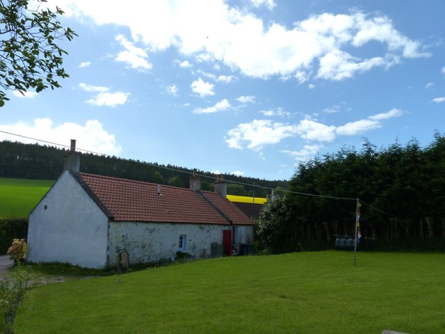
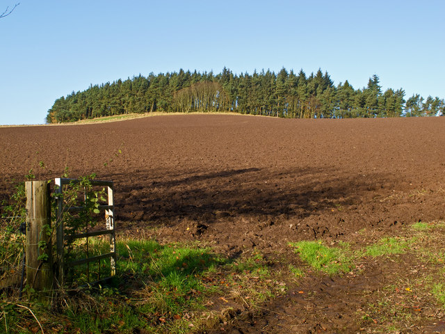
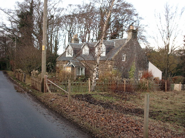
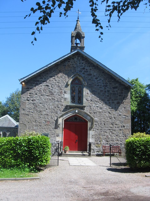
Coultra Hill Images

Images are sourced within 2km of 56.39767/-3.0549242 or Grid Reference NO3423. Thanks to Geograph Open Source API. All images are credited.

Remains of Balmerino Abbey The Cistercian abbey was founded in 1227 and suppressed at the Reformation.   Scheduled monument SM827: <span class="nowrap"><a title="https://portal.historicenvironment.scot/designation/SM827" rel="nofollow ugc noopener" href="https://portal.historicenvironment.scot/designation/SM827">Link</a><img style="margin-left:2px;" alt="External link" title="External link - shift click to open in new window" src="https://s1.geograph.org.uk/img/external.png" width="10" height="10"/></span> .
Remains of Balmerino Abbey
The Cistercian abbey was founded in 1227 and suppressed at the Reformation. Scheduled monument SM827: LinkExternal link .
Spanish chestnut in the grounds of Balmerino Abbey The aged and gnarled tree dates from about 1550 according to dendchronological measurements: <span class="nowrap"><a title="https://en.wikipedia.org/wiki/Dendrochronology" rel="nofollow ugc noopener" href="https://en.wikipedia.org/wiki/Dendrochronology">Link</a><img style="margin-left:2px;" alt="External link" title="External link - shift click to open in new window" src="https://s1.geograph.org.uk/img/external.png" width="10" height="10"/></span> .
Spanish chestnut in the grounds of Balmerino Abbey
The aged and gnarled tree dates from about 1550 according to dendchronological measurements: LinkExternal link .
Balmerino village scene The road to the left leads down to the water.   The yellow colour washed Bridgend House, despite being C-listed (LB2553 <span class="nowrap"><a title="https://portal.historicenvironment.scot/designation/LB2553" rel="nofollow ugc noopener" href="https://portal.historicenvironment.scot/designation/LB2553">Link</a><img style="margin-left:2px;" alt="External link" title="External link - shift click to open in new window" src="https://s1.geograph.org.uk/img/external.png" width="10" height="10"/></span> ) is derelict.
Balmerino village scene
The road to the left leads down to the water. The yellow colour washed Bridgend House, despite being C-listed (LB2553 LinkExternal link ) is derelict.
Springtime scene After a cold and wet March and earlier part of April in 2023, the trees are at last bursting into life in Balmerino on a beautiful spring day.    The C-listed (LB2555 <span class="nowrap"><a title="https://portal.historicenvironment.scot/designation/LB2555" rel="nofollow ugc noopener" href="https://portal.historicenvironment.scot/designation/LB2555">Link</a><img style="margin-left:2px;" alt="External link" title="External link - shift click to open in new window" src="https://s1.geograph.org.uk/img/external.png" width="10" height="10"/></span> ) stone bridge over an apparently unnamed burn dates from 1743.
Springtime scene
After a cold and wet March and earlier part of April in 2023, the trees are at last bursting into life in Balmerino on a beautiful spring day. The C-listed (LB2555 LinkExternal link ) stone bridge over an apparently unnamed burn dates from 1743.
The Old Mill, Balmerino The building is B-listed (LB2556 <span class="nowrap"><a title="https://portal.historicenvironment.scot/designation/LB2556" rel="nofollow ugc noopener" href="https://portal.historicenvironment.scot/designation/LB2556">Link</a><img style="margin-left:2px;" alt="External link" title="External link - shift click to open in new window" src="https://s1.geograph.org.uk/img/external.png" width="10" height="10"/></span> ), where it is described as a ruin, but it has been nicely restored in the meantime.
The Old Mill, Balmerino
The building is B-listed (LB2556 LinkExternal link ), where it is described as a ruin, but it has been nicely restored in the meantime.
Seal sculpture, Balmerino beach It looks to have been carved from one block of wood.    The wave-cut rocks in the background are part of the Ochil volcanic formation, being igneous bedrock formed between 419.2 and 393.3 million years ago during the Devonian period.
Seal sculpture, Balmerino beach
It looks to have been carved from one block of wood. The wave-cut rocks in the background are part of the Ochil volcanic formation, being igneous bedrock formed between 419.2 and 393.3 million years ago during the Devonian period.
Naughton and Birkhill burial enclosures... ...at Balmerino old kirkyard, which is B-listed (LB2557 <span class="nowrap"><a title="https://portal.historicenvironment.scot/designation/LB2557" rel="nofollow ugc noopener" href="https://portal.historicenvironment.scot/designation/LB2557">Link</a><img style="margin-left:2px;" alt="External link" title="External link - shift click to open in new window" src="https://s1.geograph.org.uk/img/external.png" width="10" height="10"/></span> ).   The kirk was relocated to Bottomcraig, about 800 m to the south east, in 1811 and nothing appears to remain of the old kirk.
Naughton and Birkhill burial enclosures...
...at Balmerino old kirkyard, which is B-listed (LB2557 LinkExternal link ). The kirk was relocated to Bottomcraig, about 800 m to the south east, in 1811 and nothing appears to remain of the old kirk.
Coastal rocks at Balmerino... ...with Dundee in the distance, some 4 km across the Firth of Tay.    Ninewells Hospital and Dundee Airport can be seen in the blown-up photo.
Coastal rocks at Balmerino...
...with Dundee in the distance, some 4 km across the Firth of Tay. Ninewells Hospital and Dundee Airport can be seen in the blown-up photo.
Evening Glow This turned out to be one of the best sunsets ever seen over Balmerino Bay
Evening Glow
This turned out to be one of the best sunsets ever seen over Balmerino Bay
Rocky Foreshore The coastal walk NE of Balmerino provides amazing views over the Firth of Tay
Rocky Foreshore
The coastal walk NE of Balmerino provides amazing views over the Firth of Tay
The Cloisters The NTS has care of this ruined Cistercian Abbey founded in 1229 at Balmerino,  which was on the Pilgrim's Route to St. Andrews.
The Cloisters
The NTS has care of this ruined Cistercian Abbey founded in 1229 at Balmerino, which was on the Pilgrim's Route to St. Andrews.
Balmerino Cemetery Over the Abbey lands to the present day Cemetery situated on a knoll overlooking the Firth of Tay.
Balmerino Cemetery
Over the Abbey lands to the present day Cemetery situated on a knoll overlooking the Firth of Tay.
Evening Foreshore Catching the sunset colours from the narrow, slippy shoreline.
Evening Foreshore
Catching the sunset colours from the narrow, slippy shoreline.
Trees above the Tay A glimpse of the Firth of Tay through the forest that lines the Fife shoreline at this point.
Trees above the Tay
A glimpse of the Firth of Tay through the forest that lines the Fife shoreline at this point.
Entering Balmerino On the footpath from Byres down towards Balmerino Abbey.
Entering Balmerino
On the footpath from Byres down towards Balmerino Abbey.
Cottage at Byres Isolated cottage above Balmerino.
Cottage at Byres
Isolated cottage above Balmerino.
Corbie Den Fallen trees obscuring the Corbie Den, a small ravine eroded by an unnamed burn flowing into the River Tay from the southern flank of Corbie Hill.
Corbie Den
Fallen trees obscuring the Corbie Den, a small ravine eroded by an unnamed burn flowing into the River Tay from the southern flank of Corbie Hill.
Farmland at Mountquhanie Recently ploughed farmland at Mountquhanie.
Farmland at Mountquhanie
Recently ploughed farmland at Mountquhanie.
Show me another place!

Coultra Hill is located at Grid Ref: NO3423 (Lat: 56.39767, Lng: -3.0549242)

Unitary Authority: Fife

Police Authority: Fife

What 3 Words

///shrub.scrubbing.obliging. Near Invergowrie, Perth & Kinross

Nearby Locations

Coultra Hill

Related Wikis

Birkhill Castle

Birkhill Castle is a stately home, the residence of the Earl of Dundee, located on the banks of the River Tay, a short drive from St. Andrews. The castle...
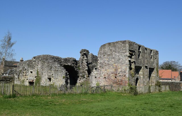
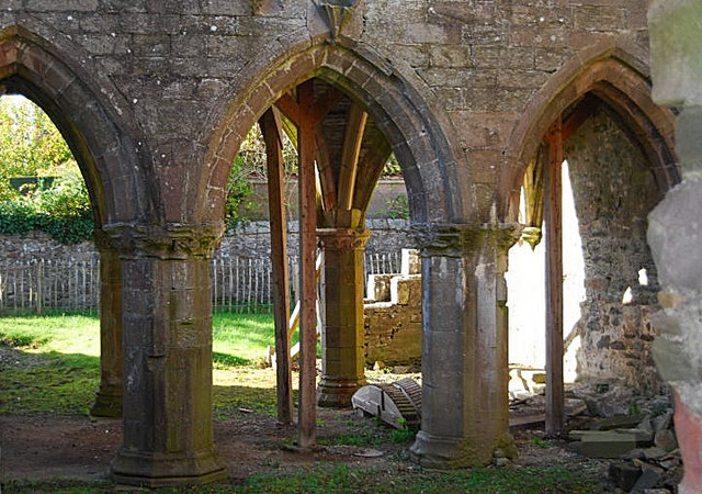
Balmerino Abbey

Balmerino Abbey, or St Edward's Abbey, in Balmerino, Fife, Scotland, was a Cistercian monastic community which has been ruinous since the 16th century...

Bottomcraig

Bottomcraig is a village in Fife, Scotland located near Balmerino and The Gauldry. The village is home to Balmerino Parish Church, built in 1811, and the...

Balmerino

Balmerino is a small village and former monastic centre in Fife, Scotland. It is the home of Balmerino Abbey and the former abbots of Balmerino who were...

Balmerino Parish Church

Balmerino Parish Church is a Church of Scotland parish church in Bottomcraig, Fife, Scotland. The church sits in the centre of the small village where...

Flisk

Flisk (Scottish Gaelic: Fleasg meaning "Stalk" or "Rod") was a parish in Fife, Scotland. According to the 1853 Gazetteer, in part: "Flisk parish is bounded...

Gauldry

Gauldry, locally sometimes The Gauldry, is a village in Fife, Scotland. It is located 3 kilometres (1.9 mi) southwest of Newport on Tay, 2 kilometres...

Creich, Fife

Creich (Scottish Gaelic: Craoich, pronounced [kʰɾɯːç]; OS: Criech), is a hamlet in Fife, Scotland.The local parish is named after Creich. The ruins of...

Nearby Amenities

Located within 500m of 56.39767,-3.0549242
Ele: 178
Natural: peak
Source: npe
Lat/Long: 56.3985684/-3.0525921
Material: wood
Power: pole
Lat/Long: 56.3996723/-3.0621251
Material: wood
Power: pole
Lat/Long: 56.3999024/-3.0610898
Material: wood
Power: pole
Lat/Long: 56.4001696/-3.0600545
Material: wood
Power: pole
Lat/Long: 56.4003878/-3.0589789
Material: wood
Power: pole
Lat/Long: 56.4006134/-3.057949
Material: wood
Power: pole
Lat/Long: 56.4008657/-3.05686
Material: wood
Power: pole
Lat/Long: 56.4011121/-3.0557817
Material: wood
Power: pole
Lat/Long: 56.4013882/-3.0546391
Material: wood
Power: pole
Lat/Long: 56.4016405/-3.0535018
Material: wood
Power: pole
Lat/Long: 56.4019166/-3.0523056
Power: pole
Lat/Long: 56.3961523/-3.0620972
Power: pole
Lat/Long: 56.3956635/-3.0613423
Power: pole
Lat/Long: 56.3952239/-3.0606804
Power: pole
Lat/Long: 56.3947454/-3.0599689
Power: pole
Lat/Long: 56.3942096/-3.0589285
Power: pole
Lat/Long: 56.3939303/-3.0584114
Power: pole
Lat/Long: 56.3967177/-3.0512943
Power: pole
Lat/Long: 56.3968414/-3.0504463
Power: pole
Lat/Long: 56.3969249/-3.0498092
Power: pole
Lat/Long: 56.3971172/-3.048742
Power: pole
Lat/Long: 56.3972992/-3.0475692
The data included in this document is from www.openstreetmap.org. The data is made available under ODbL.

Have you been to Coultra Hill?

Leave your review of Coultra Hill below (or comments, questions and feedback).