Byehass Fell
Hill, Mountain in Roxburghshire
Scotland
Byehass Fell

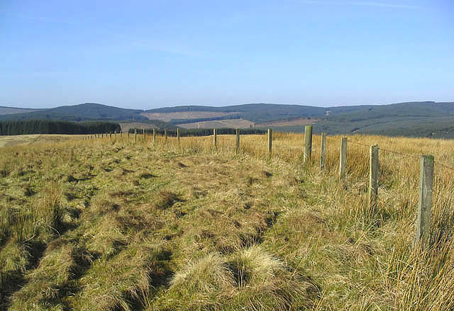
Byehass Fell is a prominent hill located in Roxburghshire, a historic county in the Scottish Borders region of Scotland. With an elevation of approximately 2,000 feet (610 meters), it is often referred to as a mountain due to its impressive height and rugged terrain. It lies near the village of Bonchester Bridge, about 8 miles (13 kilometers) southeast of Hawick.
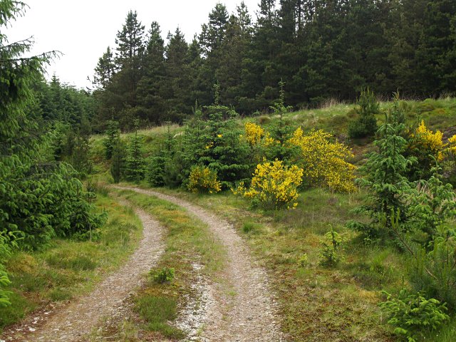
This hill is known for its picturesque beauty and provides panoramic views of the surrounding countryside. It is characterized by steep slopes covered in heather and grasses, with scattered outcrops of rock adding to its dramatic appeal. Byehass Fell is part of the wider Cheviot Hills range, which extends across the border between Scotland and England.
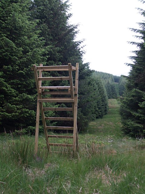
The hill is a popular destination for hikers and nature enthusiasts, offering a variety of walking trails that cater to different levels of difficulty. It is home to a diverse range of flora and fauna, including birds such as golden eagles, peregrine falcons, and red grouse, as well as various species of wildflowers and mosses.
In addition to its natural beauty, Byehass Fell holds historical significance. Ruins of ancient settlements and remains of hill forts can be found on its slopes, providing insights into the region's past and the people who once inhabited the area. Overall, Byehass Fell offers a captivating outdoor experience, combining scenic landscapes, wildlife, and historical charm.
If you have any feedback on the listing, please let us know in the comments section below.
Byehass Fell Images
Images are sourced within 2km of 55.323012/-3.0274039 or Grid Reference NT3403. Thanks to Geograph Open Source API. All images are credited.


Byehass Fell is located at Grid Ref: NT3403 (Lat: 55.323012, Lng: -3.0274039)
Unitary Authority: The Scottish Borders
Police Authority: The Lothians and Scottish Borders
What 3 Words
///cyber.cooks.lately. Near Teviothead, Scottish Borders
Nearby Locations
Related Wikis

Falnash
Falnash (Scots: Fawenesh) is a village in the Scottish Borders of Scotland. It is near Teviothead, in the former Roxburghshire, and in the parish of Teviothead...

Craik, Scottish Borders
Craik is a hamlet in Craik Forest, by the Airhouse Burn in the Scottish Borders area of Scotland, close to Roberton, Scottish Borders (grid reference NT348084...

River Teviot
The River Teviot (; Scottish Gaelic: Abhainn Tìbhiot), or Teviot Water, is a river of the Scottish Borders area of Scotland, and is the largest tributary...
Caerlanrig
Caerlanrig - also spelled 'Carlenrig' - (Gaelic: Cathair Lannraig) is a hamlet in the parish of Cavers, Borders, Scotland, lying on the River Teviot, 6...

Teviothead
Teviothead (Scottish Gaelic: Ceann Tìbhiot) is a small village and civil parish in Teviotdale in the Scottish Borders, known locally as Teviotheid. It...
Craik Forest
Craik Forest is a forest near Hawick in the Scottish Borders area of Scotland, and managed by the Forestry Commission. It is adjoined to the south-west...

Unthank, Dumfries and Galloway
Unthank is a village in Dumfries and Galloway, Scotland. == References == The geographic coordinates are from the Ordnance Survey.
Have you been to Byehass Fell?
Leave your review of Byehass Fell below (or comments, questions and feedback).