Cairn Leith

Hill, Mountain in Angus

Scotland

Cairn Leith

The minister's path Tradition has it that the minister from Glen Prosen Kirk also preached in the Kirk of Glen Clova and made his way between them along this hill track across the moor. Some say he walked, some that he rode a pony and others that he used a pony and trap. But, unless the track has deteriorated greatly since the minister's day, I very much doubt if he could have negotiated it with a pony and trap.
The minister's path Credit: James Allan

Cairn Leith is a prominent hill located in the Angus region of Scotland. It is part of the Grampian Mountains, which stretch across the eastern part of the country. Standing at an elevation of 631 meters (2,070 feet), Cairn Leith is a popular destination for hikers and outdoor enthusiasts.

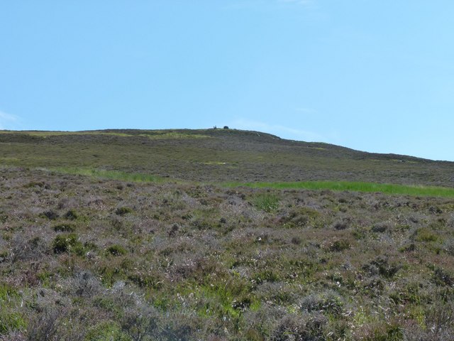
The hill is known for its distinctive summit cairn, which gives it its name. A cairn is a man-made pile of stones, often used as a marker or memorial in mountainous areas. The cairn on Cairn Leith is relatively large and provides a recognizable feature on the hilltop.

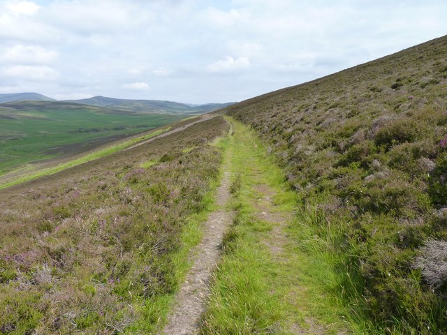
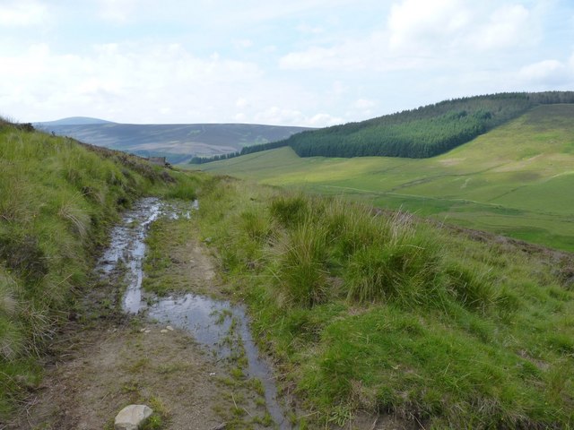
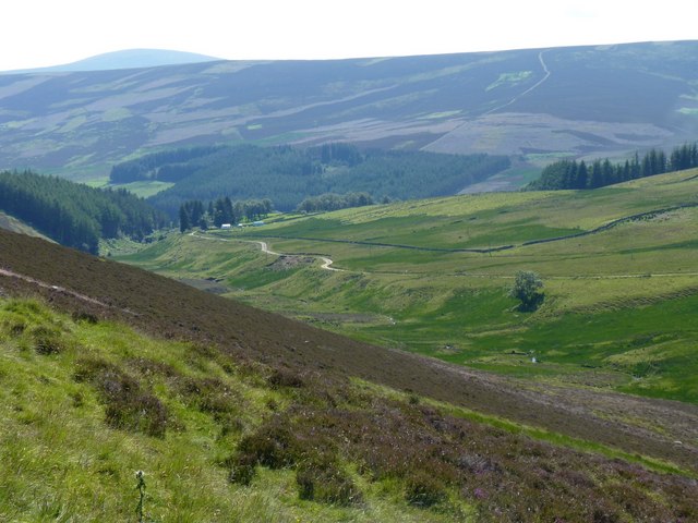
The ascent to Cairn Leith begins from the picturesque Glen Esk, offering breathtaking views of the surrounding countryside throughout the climb. The path up the hill is well-maintained and relatively easy to follow, making it accessible to hikers of various skill levels.

From the summit, visitors are rewarded with panoramic views of the Grampian Mountains, including nearby peaks such as Mount Keen and Lochnagar. On a clear day, it is even possible to catch a glimpse of the North Sea coastline in the distance.

Cairn Leith is also home to a diverse range of flora and fauna, with heather-covered slopes and moorland providing habitats for various species. Wildlife such as red deer, mountain hares, and golden eagles can often be spotted in the area.

Overall, Cairn Leith offers a memorable and rewarding hiking experience for those who wish to explore the natural beauty of the Angus region in Scotland.

If you have any feedback on the listing, please let us know in the comments section below.
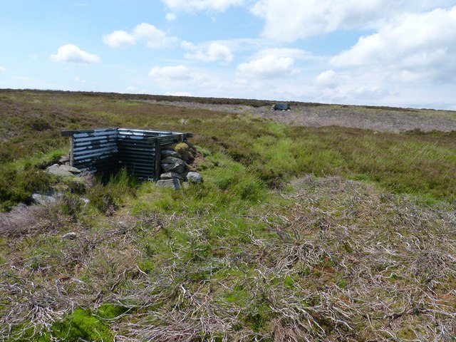
Cairn Leith Images

Images are sourced within 2km of 56.799125/-3.0691217 or Grid Reference NO3468. Thanks to Geograph Open Source API. All images are credited.

The minister's path Tradition has it that the minister from Glen Prosen Kirk also preached in the Kirk of Glen Clova and made his way between them along this hill track across the moor. Some say he walked, some that he rode a pony and others that he used a pony and trap. But, unless the track has deteriorated greatly since the minister's day, I very much doubt if he could have negotiated it with a pony and trap.
The minister's path
Tradition has it that the minister from Glen Prosen Kirk also preached in the Kirk of Glen Clova and made his way between them along this hill track across the moor. Some say he walked, some that he rode a pony and others that he used a pony and trap. But, unless the track has deteriorated greatly since the minister's day, I very much doubt if he could have negotiated it with a pony and trap.
The ministers muddy path Tradition has it that the minister from Glen Prosen Kirk also preached in the Kirk of Glen Clova and made his way between them along this hill track across the moor. Some say he walked, some that he rode a pony and others that he used a pony and trap. But, unless the track has deteriorated greatly since the minister's day, I very much doubt if he could have negotiated it with a pony and trap.
The ministers muddy path
Tradition has it that the minister from Glen Prosen Kirk also preached in the Kirk of Glen Clova and made his way between them along this hill track across the moor. Some say he walked, some that he rode a pony and others that he used a pony and trap. But, unless the track has deteriorated greatly since the minister's day, I very much doubt if he could have negotiated it with a pony and trap.
The minister's path Tradition has it that the minister from Glen Prosen Kirk also preached in the Kirk of Glen Clova and made his way between them along this hill track across the moor. Some say he walked, some that he rode a pony and others that he used a pony and trap. Along this section he could well have used any of these methods.
The minister's path
Tradition has it that the minister from Glen Prosen Kirk also preached in the Kirk of Glen Clova and made his way between them along this hill track across the moor. Some say he walked, some that he rode a pony and others that he used a pony and trap. Along this section he could well have used any of these methods.
The minister's path Tradition has it that the minister from Glen Prosen Kirk also preached in the Kirk of Glen Clova and made his way between them along this hill track across the moor. Some say he walked, some that he rode a pony and others that he used a pony and trap. At this point the descent into Glen Clova is about to begin.
The minister's path
Tradition has it that the minister from Glen Prosen Kirk also preached in the Kirk of Glen Clova and made his way between them along this hill track across the moor. Some say he walked, some that he rode a pony and others that he used a pony and trap. At this point the descent into Glen Clova is about to begin.
Down into Glentairie Looking south and down into the glen, north of Glen Prosen village.
Down into Glentairie
Looking south and down into the glen, north of Glen Prosen village.
Looking towards Knachly Grouse moor in the foreground.
Looking towards Knachly
Grouse moor in the foreground.
Gated fence On a boggy section of the minister's path where it crosses the Hillochs of Hudenkey on the watershed between Glen Prosen and Glen Clova.
Gated fence
On a boggy section of the minister's path where it crosses the Hillochs of Hudenkey on the watershed between Glen Prosen and Glen Clova.
Butt on the moor A rather prosaic looking corrugated-iron grouse butt on the moor near Downie Hillock.
Butt on the moor
A rather prosaic looking corrugated-iron grouse butt on the moor near Downie Hillock.
Dead as mutton A sheep's skull on the grouse moor.
Dead as mutton
A sheep's skull on the grouse moor.
Mountainside above Kilburn The prominent summit is Cairn Leith <a href="https://www.geograph.org.uk/gridref/NO3467">NO3467</a>.
Mountainside above Kilburn
The prominent summit is Cairn Leith NO3467.
Kilburn Farm With shelter belt of conifers.
Kilburn Farm
With shelter belt of conifers.
Start of the Minister's Road, Glen Clova Starting in Drums Plantation, the Minister's Road is a ancient mountain footpath which links the central reach of Glen Clova with Glenprosen village.
Start of the Minister's Road, Glen Clova
Starting in Drums Plantation, the Minister's Road is a ancient mountain footpath which links the central reach of Glen Clova with Glenprosen village.
Internal fence and firebreak in Drums Plantation
Cattle at Tarabuckle Farm Grazing on some very rocky ground.
Cattle at Tarabuckle Farm
Grazing on some very rocky ground.
Cattle at Tarabuckle Farm Below the Hill of Balbae.
Cattle at Tarabuckle Farm
Below the Hill of Balbae.
River South Esk at Kilburn Looking across Glen Clova. Whitehillocks Plantation to the right. On the skyline, Tops of Fichell <a href="https://www.geograph.org.uk/gridref/NO3868">NO3868</a> (to the right) and Finbracks <a href="https://www.geograph.org.uk/gridref/NO4070">NO4070</a>.
River South Esk at Kilburn
Looking across Glen Clova. Whitehillocks Plantation to the right. On the skyline, Tops of Fichell NO3868 (to the right) and Finbracks NO4070.
Clear felling at Whitehillocks Plantation On the east side of Glen Clova.
Clear felling at Whitehillocks Plantation
On the east side of Glen Clova.
Clear felling at Whitehillocks Plantation On the east side of Glen Clova
Clear felling at Whitehillocks Plantation
On the east side of Glen Clova
Show me another place!

Cairn Leith is located at Grid Ref: NO3468 (Lat: 56.799125, Lng: -3.0691217)

Unitary Authority: Angus

Police Authority: Tayside

What 3 Words

///lend.culling.drips. Near Kirriemuir, Angus

Related Wikis

Clova, Angus

Clova is a village in Glen Clova, Angus, Scotland. It lies on the River South Esk, some 12 miles (19 km) north of Kirriemuir. During the 1745 Jacobite...

Ben Tirran

Ben Tirran (896 m) is a mountain in the Grampian Mountains of Scotland. It lies in the vast Mounth area of the eastern Highlands in Angus, on the northern...

Cat Law

Cat Law (671 m) is a hill in the southern Mounth of Scotland, north of Kirriemuir in Angus. A rounded peak, it lies above Strathmore in the south and offers...

Mile Hill, Dykehead

There is another Mile Hill nearby which is a MarilynMile Hill is located in Angus, Scotland, 1000 metres west of Dykehead. It is a circular hill rising...

Nearby Amenities

Located within 500m of 56.799125,-3.0691217
Cairn Leith
Ele: 437
Name Gd: Càrn Liath
Natural: peak
Lat/Long: 56.7995405/-3.0699197
The data included in this document is from www.openstreetmap.org. The data is made available under ODbL.

Have you been to Cairn Leith?

Leave your review of Cairn Leith below (or comments, questions and feedback).