Castleward
Hill, Mountain in Angus
Scotland
Castleward
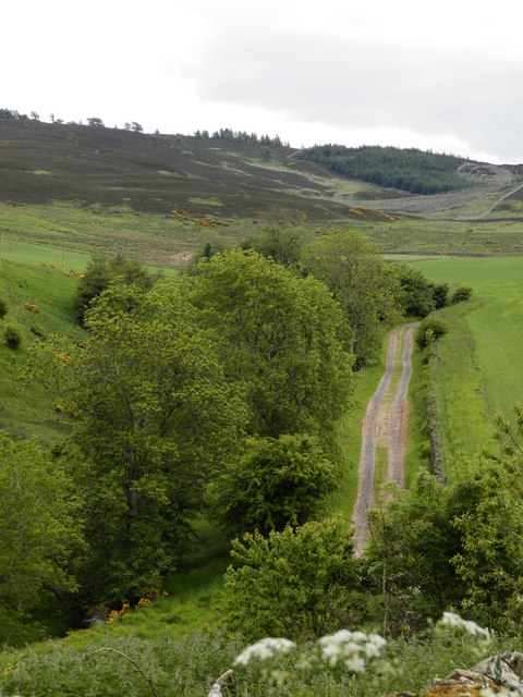
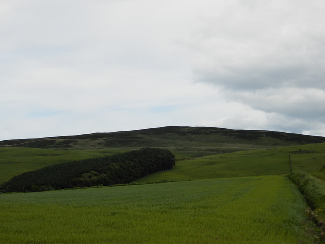
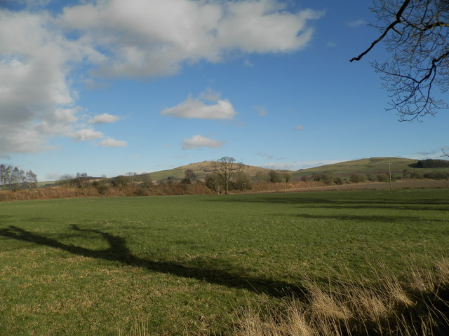
Castleward, located in Angus, Scotland, is a prominent hill that offers breathtaking views of the surrounding landscape. Standing at an elevation of approximately 440 meters, it forms part of the Angus Glens and is a popular destination for hikers and nature enthusiasts.
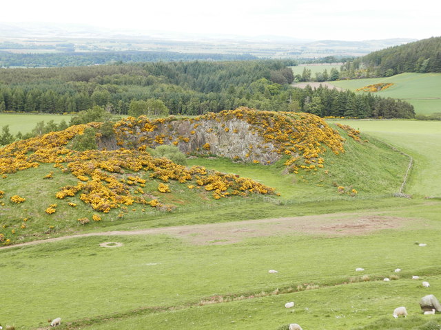
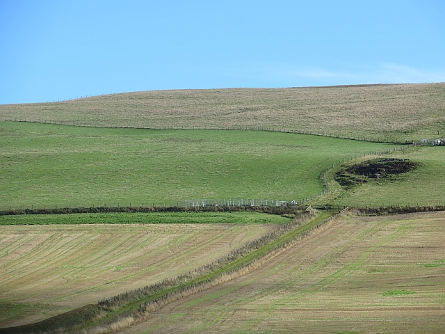
The hill is characterized by its distinctive shape, with a steep, rocky face that gives it a majestic appearance. Its slopes are covered in heather and grasses, providing a haven for various species of wildlife. Visitors can often spot red deer, mountain hares, and a variety of bird species, including golden eagles and peregrine falcons.
At the summit of Castleward, visitors are treated to panoramic views of the Angus Glens, the Grampian Mountains, and the surrounding countryside. On clear days, it is even possible to see as far as the North Sea. The hill's strategic location has been recognized throughout history, with the remnants of an Iron Age hill fort still visible at the top.
Hiking trails wind their way up Castleward, offering different levels of difficulty for outdoor enthusiasts. The most popular route starts from a nearby car park and takes approximately two to three hours to complete. Along the way, hikers are rewarded with stunning views and the chance to immerse themselves in the natural beauty of the area.
Castleward, with its commanding presence and breathtaking vistas, is a must-visit destination for anyone seeking to explore the rugged beauty of Angus and the Scottish Highlands.
If you have any feedback on the listing, please let us know in the comments section below.
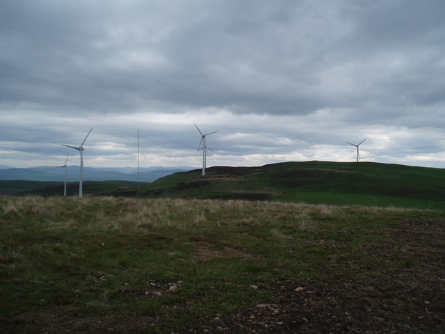
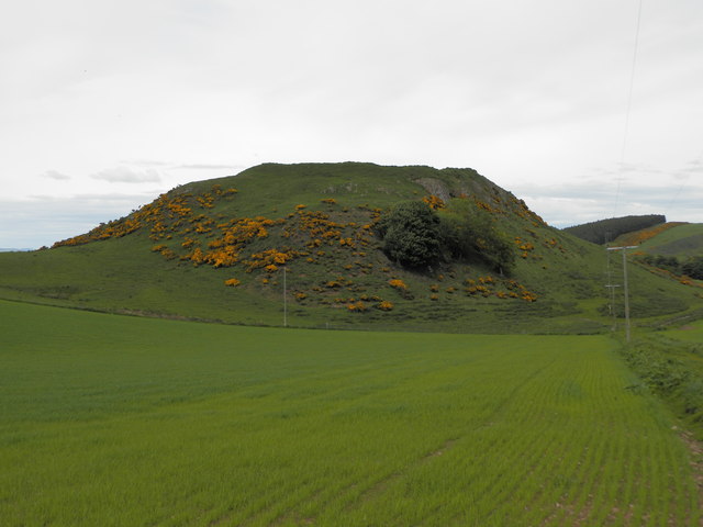
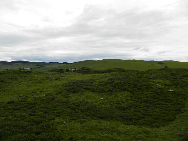
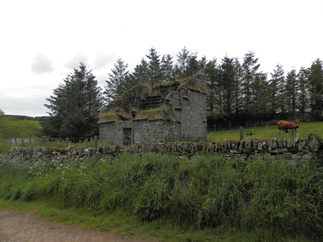
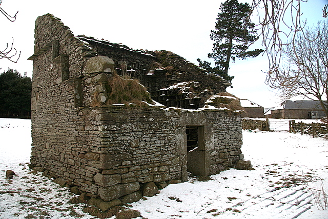
Castleward Images
Images are sourced within 2km of 56.582166/-3.0698752 or Grid Reference NO3443. Thanks to Geograph Open Source API. All images are credited.


Castleward is located at Grid Ref: NO3443 (Lat: 56.582166, Lng: -3.0698752)
Unitary Authority: Angus
Police Authority: Tayside
What 3 Words
///straying.gasp.gentle. Near Muirhead, Angus
Nearby Locations
Related Wikis
Wester Denoon
Wester Denoon is a small settlement in Angus, Scotland. Approximately one mile to the north of Wester Denoon is the village of Eassie, where the Eassie...

Eassie
Eassie is a village located along the A94 road in Angus, Scotland. The church in Eassie is dedicated to Saint Fergus, a monk who worked at nearby Glamis...

Ark Hill
Ark Hill is a mountainous landform within the Sidlaw Hills in Angus, Scotland. This location has been proposed as a windfarm for generating renewable...

Balkeerie
Balkeerie is a village in Angus, Scotland north of Dundee. It has an elevation of 222 feet (68 m) above sea level. It is one mile (1.6 km) to the north...
Leason Hill railway station
Leason Hill railway station served the area of Newmill of Inshewan, Angus, Scotland, from 1838 to 1847 on the Newtyle, Eassie and Glamiss Railway. ��2...
Castleton, Angus
Castleton, officially Castleton Of Eassie, is a village in Angus, Scotland. This settlement is situated along the A94 road between Glamis and Meigle....
Kinpurnie Hill
Kinpurnie Hill is one of the most famous hills of the Sidlaw range in south-east Perthshire. Kinpurnie Hill is located near Newtyle and is popular with...

Eassie railway station
Eassie railway station served the village of Eassie, Angus, Scotland from 1838 to 1956 on the Scottish Midland Junction Railway. == History == The station...
Nearby Amenities
Located within 500m of 56.582166,-3.0698752Have you been to Castleward?
Leave your review of Castleward below (or comments, questions and feedback).