Colluthie Hill

Hill, Mountain in Fife

Scotland

Colluthie Hill

Summit area, Starr Law
Summit area, Starr Law Credit: Richard Webb

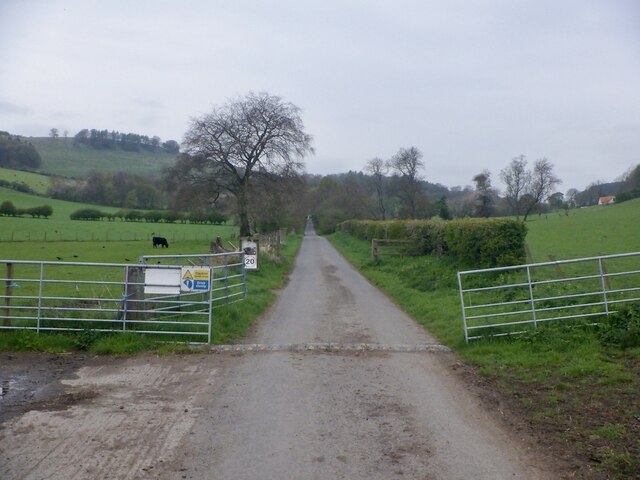
Colluthie Hill, located in the county of Fife, Scotland, is a prominent hill that stands at an elevation of approximately 175 meters (574 feet). Situated about 4 kilometers (2.5 miles) southwest of the town of Cupar, it forms a distinct landmark in the surrounding area.

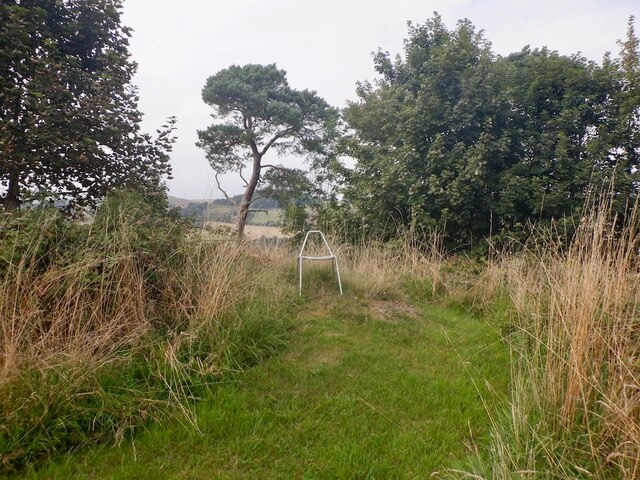
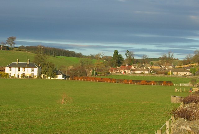
The hill is characterized by its rounded shape and gentle slopes, making it easily accessible for hikers and walkers. Its summit offers breathtaking panoramic views of the surrounding countryside, including the rolling farmland, nearby villages, and the distant Lomond Hills to the east.

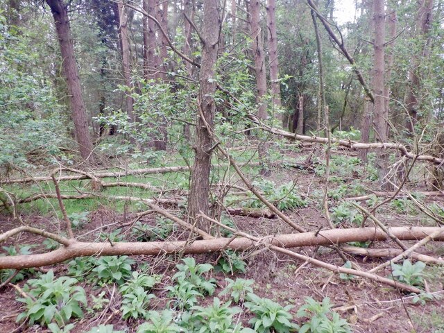
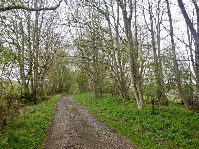
Colluthie Hill is primarily covered in grass and heather, with patches of woodland scattered throughout. The hillside supports a variety of wildlife, including birds such as skylarks and meadow pipits, as well as small mammals like rabbits and hares.

The hill has historical significance, as it is believed to have been a site of ancient settlements. Archaeological evidence suggests that the area was inhabited during the Iron Age, and remnants of ancient enclosures and structures have been found on its slopes.

Today, Colluthie Hill attracts locals and visitors alike who enjoy its natural beauty and recreational opportunities. It offers a tranquil escape for walking, picnicking, and nature watching. The hill is also a popular spot for paragliding enthusiasts, who take advantage of the gentle slopes and favorable wind conditions.

Overall, Colluthie Hill is a picturesque and historically significant landmark in Fife, providing a stunning natural setting for outdoor activities and exploration.

If you have any feedback on the listing, please let us know in the comments section below.

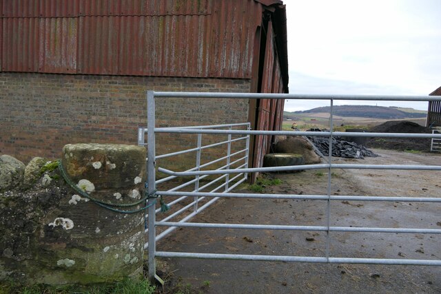
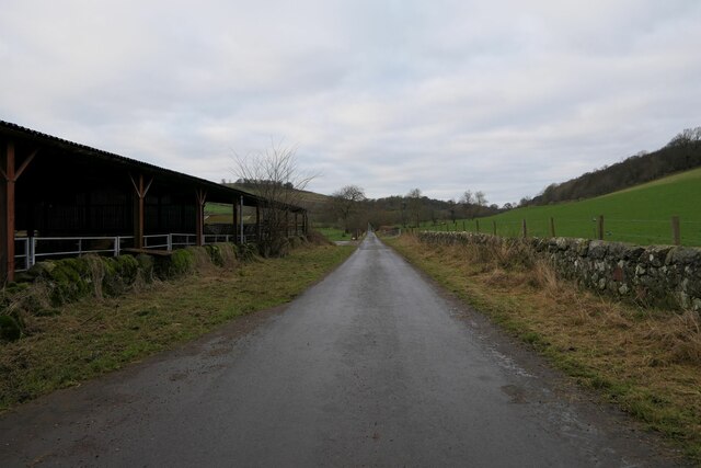
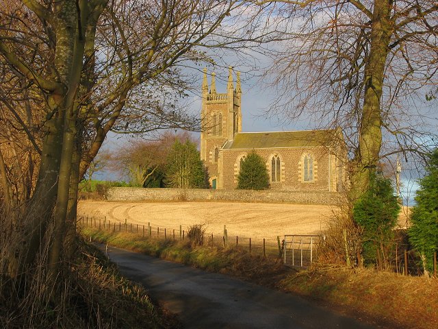
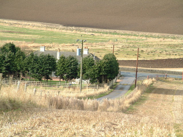
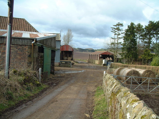
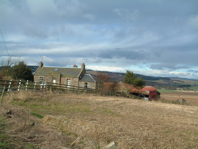
Colluthie Hill Images

Images are sourced within 2km of 56.356137/-3.0671607 or Grid Reference NO3418. Thanks to Geograph Open Source API. All images are credited.

Summit area, Starr Law
Wheat stubble, Colluthie Hill
Summit, Colluthie Hill Marked by a chair.
Summit, Colluthie Hill
Marked by a chair.
Carphin drive At Lower Luthrie.
Carphin drive
At Lower Luthrie.
Road to Wester Kinsleith Carries on as a path beyond Wester Kinsleith.
Road to Wester Kinsleith
Carries on as a path beyond Wester Kinsleith.
Gate and gatepost, Lower Luthrie Farm There is a rivet benchmark on this old gatepost. See also <a href="https://www.geograph.org.uk/photo/7687263">NO3319 : Rivet bencmark on gatepost, Lower Luthrie Farm</a>.
Gate and gatepost, Lower Luthrie Farm
There is a rivet benchmark on this old gatepost. See also NO3319 : Rivet bencmark on gatepost, Lower Luthrie Farm.
Road west at Lower Luthrie Farm
Rivet bencmark on gatepost, Lower Luthrie Farm Ordnance Survey rivet benchmark, described on database at <span class="nowrap"><a title="https://www.bench-marks.org.uk/bm211278" rel="nofollow ugc noopener" href="https://www.bench-marks.org.uk/bm211278">Link</a><img style="margin-left:2px;" alt="External link" title="External link - shift click to open in new window" src="https://s1.geograph.org.uk/img/external.png" width="10" height="10"/></span>. See also <a href="https://www.geograph.org.uk/photo/7687231">NO3319 : Gate and gatepost, Lower Luthrie Farm</a>.
Rivet bencmark on gatepost, Lower Luthrie Farm
Ordnance Survey rivet benchmark, described on database at LinkExternal link. See also NO3319 : Gate and gatepost, Lower Luthrie Farm.
Farmland, Kinsleith Taken from the side of a main road and looking towards Mount Hill.
Farmland, Kinsleith
Taken from the side of a main road and looking towards Mount Hill.
Luthrie Village and farmland.
Luthrie
Village and farmland.
Creich Kirk. The church is outside the village of Luthrie, above it to the north. Built to replace the now ruined church to the north.
Creich Kirk.
The church is outside the village of Luthrie, above it to the north. Built to replace the now ruined church to the north.
Farm road T-junction The junction of the Cairnie farm road and the A92 trunk road, just north of Murdochcairnie Hill
Farm road T-junction
The junction of the Cairnie farm road and the A92 trunk road, just north of Murdochcairnie Hill
Murdochcairnie Farm
Murdochcairnie Farm
Newcairnie farm
Newcairnie farm
Farmland by Moonzie Ploughed and prepared fields between Parbroath and Moonzie bask in the late winter sunshine.
Farmland by Moonzie
Ploughed and prepared fields between Parbroath and Moonzie bask in the late winter sunshine.
Lordscairnie Castle Built c.1450 by the Earls of Crawford, the Lindseys. It's an L plan tower house with 5 storeys. The Lindseys were a powerful family north of the border. Looking north.
Lordscairnie Castle
Built c.1450 by the Earls of Crawford, the Lindseys. It's an L plan tower house with 5 storeys. The Lindseys were a powerful family north of the border. Looking north.
Colluthie Hill Looking west over farmland towards Colluthiehill 120mts by Newington
Colluthie Hill
Looking west over farmland towards Colluthiehill 120mts by Newington
Farmland by Muirside Looking north along the Lordscairnie road towards Muirside.
Farmland by Muirside
Looking north along the Lordscairnie road towards Muirside.
Show me another place!

Colluthie Hill is located at Grid Ref: NO3418 (Lat: 56.356137, Lng: -3.0671607)

Unitary Authority: Fife

Police Authority: Fife

What 3 Words

///heave.trailers.stoppage. Near Cupar, Fife

Nearby Locations

Colluthie Hill

Related Wikis

Have you been to Colluthie Hill?

Leave your review of Colluthie Hill below (or comments, questions and feedback).