Cairnbrallan

Hill, Mountain in Banffshire

Scotland

Cairnbrallan

Black Water Looking upriver from the ford where the Steplar Road crosses the Black Water.
Black Water Credit: Anne Burgess

Cairnbrallan is a remarkable hill located in Banffshire, Scotland. Rising to an impressive height of approximately 1,483 feet (452 meters), it offers breathtaking panoramic views of the surrounding landscape. Situated in the eastern part of Banffshire, Cairnbrallan is a prominent landmark that attracts both locals and tourists alike.

The hill is known for its rugged terrain, characterized by steep slopes and rocky outcrops. Its distinctive shape and prominent position make it a popular destination for hikers and outdoor enthusiasts seeking a challenging climb. The ascent to the summit can be demanding, but the reward is well worth the effort, as on clear days, one can enjoy breathtaking vistas that stretch across the Banffshire countryside, with glimpses of the North Sea in the distance.

Cairnbrallan is also notable for its rich biodiversity. The hill is home to a variety of flora and fauna, including heather, gorse, and various species of birds and small mammals. The diverse ecosystem makes it an attractive spot for nature lovers and birdwatchers, who can often spot rare and elusive species in the area.

In addition to its natural beauty, Cairnbrallan has historical significance as well. The hill is believed to have been used as a site for ancient rituals and gatherings, with remnants of ancient settlements and burial grounds found in the vicinity. These archaeological sites add an extra layer of intrigue and fascination to the area.

Overall, Cairnbrallan is a captivating hill that offers a challenging climb, stunning views, and a glimpse into the rich history and natural wonders of Banffshire.

If you have any feedback on the listing, please let us know in the comments section below.
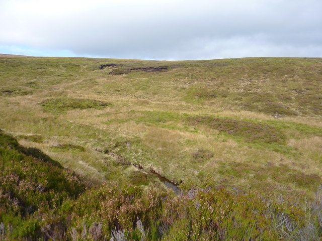
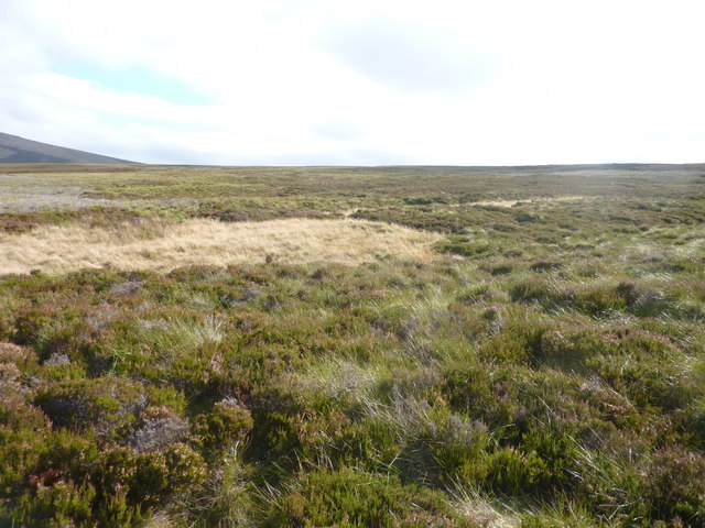
Cairnbrallan Images

Images are sourced within 2km of 57.306355/-3.1100447 or Grid Reference NJ3324. Thanks to Geograph Open Source API. All images are credited.

Black Water Looking upriver from the ford where the Steplar Road crosses the Black Water.
Black Water
Looking upriver from the ford where the Steplar Road crosses the Black Water.
The Burn of Thiefsbush Looking up the course of the wee burn which is hidden under the grass
The Burn of Thiefsbush
Looking up the course of the wee burn which is hidden under the grass
Moorland with small pools of standing water Looking over the moorland, and over the Allt na Craoibhe-caorrain which runs across the moor in the middle distance
Moorland with small pools of standing water
Looking over the moorland, and over the Allt na Craoibhe-caorrain which runs across the moor in the middle distance
Wet moorland, with pools of water. So flat that it does not drain well. There are burns whose course you can pick up in the photo, and from the map. I like the name of the area beyond the first burn - Cairn Kneedeep
Wet moorland, with pools of water.
So flat that it does not drain well. There are burns whose course you can pick up in the photo, and from the map. I like the name of the area beyond the first burn - Cairn Kneedeep
Stones on Hill of Three Stones Not the Three Stones but impressive all the same. It's strange how alluring a stone like this can be when you've been stumping through peat haggs and deep heather all day.
Stones on Hill of Three Stones
Not the Three Stones but impressive all the same. It's strange how alluring a stone like this can be when you've been stumping through peat haggs and deep heather all day.
Snow lying deep still on Hill of Three Stones in the Cabrach
Snow still lying in branch of the Gauch Burn in the Cabrach
Deep spring snow in a branch of the Gauch Burn in the Cabrach
General band of spring snow upslope of Gauch Burn in the Cabrach
Juniper forest by the Gauch Burn in the Cabrach
Gauch Burn in the Cabrach
Confluence on the Gauch Burn in the Cabrach
The main course of the Gauch Burn in the Cabrach
Track fording the Gauch Burn in the Cabrach
Tiny cliff in the course of branch of Gauch Burn in the Cabrach
Cairnbrallan ruins looking west This was well-built house. In 1851 it was occupied by John Innes and family. He was described as a "forester gamekeeper". No forests now, and not much game.
Cairnbrallan ruins looking west
This was well-built house. In 1851 it was occupied by John Innes and family. He was described as a "forester gamekeeper". No forests now, and not much game.
Looking up Allt na Craoibhe-cuilinn In the background are the lower slopes of Kneedeep.
Looking up Allt na Craoibhe-cuilinn
In the background are the lower slopes of Kneedeep.
Heather and tussocky grass moorland On the slopes S.W. of Cairnbrallan
Heather and tussocky grass moorland
On the slopes S.W. of Cairnbrallan
Show me another place!

Cairnbrallan is located at Grid Ref: NJ3324 (Lat: 57.306355, Lng: -3.1100447)

Unitary Authority: Moray

Police Authority: North East

What 3 Words

///apple.buzzards.tunnel. Near Dufftown, Moray

Nearby Locations

Cairnbrallan

Related Wikis

Badenyon

Badenyon (from Scottish Gaelic: Bad an Eòin - Knoll of the Birds) is a former clachan, or village, in Aberdeenshire, Scotland. The last farming inhabitant...

Badenyon Castle

Badenyon Castle was a castle, dating from the 13th century around 7.5 miles (12.1 km) west of Kildrummy, north of Coulins Burn, in Aberdeenshire, Scotland...

Cabrach

The Cabrach (Scottish Gaelic: A' Chabrach, A' Chabraich) is an estate and largely depopulated rural community in Moray, Scotland. The meaning of the name...

Peatfold Burn

Peatfold Burn is a burn which marks the boundary of the parish of Huntly, Aberdeenshire, Scotland. == References ==

Nearby Amenities

Located within 500m of 57.306355,-3.1100447
Cairnbrallan
Ele: 618
Natural: peak
Lat/Long: 57.3065419/-3.1095585
The data included in this document is from www.openstreetmap.org. The data is made available under ODbL.

Have you been to Cairnbrallan?

Leave your review of Cairnbrallan below (or comments, questions and feedback).