Skelwith Hill

Hill, Mountain in Lancashire South Lakeland

England

Skelwith Hill

Estuary of the River Leven
Estuary of the River Leven Credit: Eirian Evans

Skelwith Hill is a small hill located in the county of Lancashire, in the northwestern part of England. Situated near the town of Skelwith Bridge, it forms part of the picturesque landscape of the Lake District National Park. With an elevation of approximately 137 meters (449 feet), Skelwith Hill is not considered a mountain but rather a modest hill.

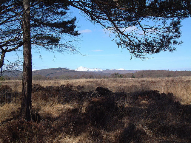
The hill is characterized by its lush green slopes, which are covered in a variety of vegetation, including grasses, heather, and scattered trees. From its summit, visitors are rewarded with stunning panoramic views of the surrounding countryside, including the nearby Lake Windermere and the Coniston Fells.

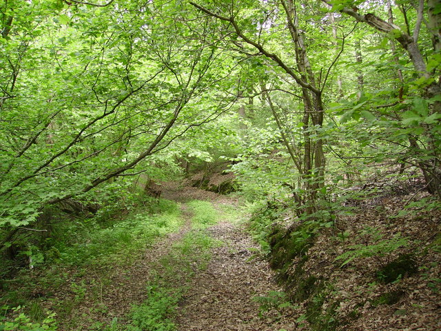
Skelwith Hill is a popular destination for nature enthusiasts, hikers, and walkers who are looking to explore the natural beauty of the Lake District. Several well-marked trails traverse the hill, offering visitors the opportunity to discover its diverse flora and fauna. In spring, the hill is adorned with colorful wildflowers, creating a picturesque scene.

The area surrounding Skelwith Hill is also renowned for its wildlife. Birdwatchers can spot various species, such as buzzards, kestrels, and peregrine falcons, soaring above the hill. Additionally, the nearby Skelwith Force waterfall attracts visitors with its cascading waters and serene atmosphere.

Overall, Skelwith Hill, with its tranquil ambiance and magnificent views, provides a serene escape for those seeking to immerse themselves in the natural wonders of the Lake District.

If you have any feedback on the listing, please let us know in the comments section below.

Skelwith Hill Images

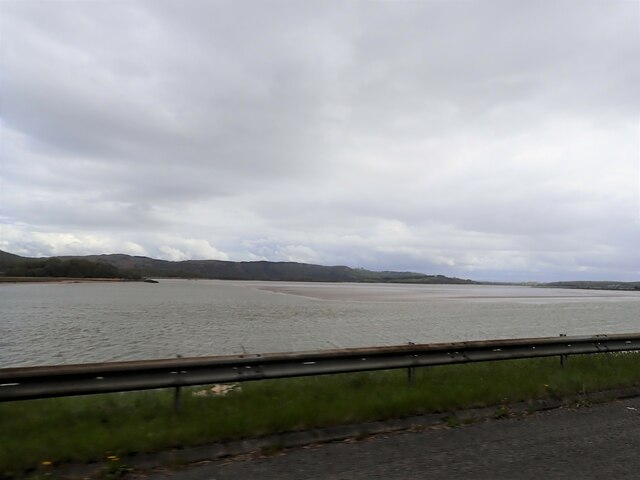
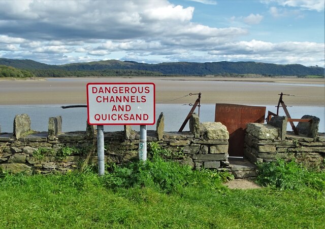
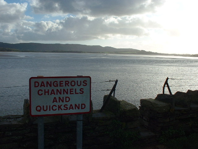
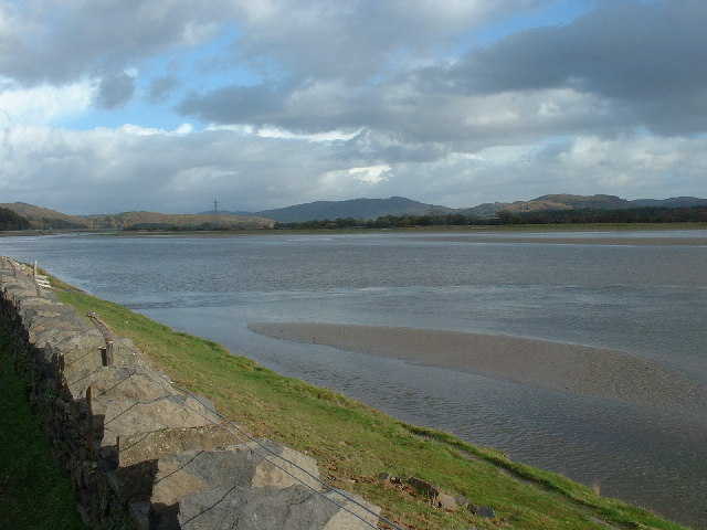
Images are sourced within 2km of 54.219753/-3.0273459 or Grid Reference SD3380. Thanks to Geograph Open Source API. All images are credited.

Estuary of the River Leven
Greenodd Sands
Greenodd Sands
Road to Frith Hall On the estuary of the River Leven. The fells are calling.
Road to Frith Hall
On the estuary of the River Leven. The fells are calling.
The banks of the river Leven At high tide, as shown here, this river increases massively in size.
The banks of the river Leven
At high tide, as shown here, this river increases massively in size.
Low Frith viewed from across the Leven Estuary
Ashes Point
Ashes Point
Reake Hill A 50m high limestone hill. Looking towards Greenodd Sands in the Leven estuary.
Reake Hill
A 50m high limestone hill. Looking towards Greenodd Sands in the Leven estuary.
Hoad Hill and the Leven estuary A rare appearance of sunlight this evening glistening on Cartmel Sands in this  view from Reake Hill. Hoad Hill above Ulverston is easily identified by <a href="https://www.geograph.org.uk/photo/2755026">SD2979 : Sir John Barrow Monument</a>
Hoad Hill and the Leven estuary
A rare appearance of sunlight this evening glistening on Cartmel Sands in this view from Reake Hill. Hoad Hill above Ulverston is easily identified by SD2979 : Sir John Barrow Monument
Disused lime kiln by the Low Frith road A very well preserved structure.
Disused lime kiln by the Low Frith road
A very well preserved structure.
Low Frith The site is fenced off and there appears to be extensive refurbishing and demolition going on. A now unobtainable (online) planning application stated: 'EXTENSION AND ALTERATIONS TO DWELLING, DEMOLITION OF 3 REDUNDANT BARNS AND CONVERSION AND EXTENSION OF NORTH AND SOUTH BARNS TO PROVIDE ANCILLARY DOMESTIC ACCOMMODATION AND SMALL SCALE COMMERCIAL USE AS A RETREAT FOR RESIDENTAIL COURSES'.
Low Frith
The site is fenced off and there appears to be extensive refurbishing and demolition going on. A now unobtainable (online) planning application stated: 'EXTENSION AND ALTERATIONS TO DWELLING, DEMOLITION OF 3 REDUNDANT BARNS AND CONVERSION AND EXTENSION OF NORTH AND SOUTH BARNS TO PROVIDE ANCILLARY DOMESTIC ACCOMMODATION AND SMALL SCALE COMMERCIAL USE AS A RETREAT FOR RESIDENTAIL COURSES'.
Frith Hall The remains have been stabilised by English Heritage in the summer of 2013 <span class="nowrap"><a title="http://www.english-heritage.org.uk/caring/heritage-at-risk/case-studies/frith-hall" rel="nofollow ugc noopener" href="http://www.english-heritage.org.uk/caring/heritage-at-risk/case-studies/frith-hall">Link</a><img style="margin-left:2px;" alt="External link" title="External link - shift click to open in new window" src="https://s1.geograph.org.uk/img/external.png" width="10" height="10"/></span> 
'Frith Hall was built in the late medieval period as a monastic grange (an outlying estate or farm) belonging to the Augustinian Priory at Cartmel'. Not to be confused with another Cumbrian Frith Hall <a href="https://www.geograph.org.uk/photo/3625363">SD1891 : The ruins of Frith Hall above the Duddon Valley</a>
Frith Hall
The remains have been stabilised by English Heritage in the summer of 2013 LinkExternal link 'Frith Hall was built in the late medieval period as a monastic grange (an outlying estate or farm) belonging to the Augustinian Priory at Cartmel'. Not to be confused with another Cumbrian Frith Hall SD1891 : The ruins of Frith Hall above the Duddon Valley
Greenodd Sands Taken from the pic nic area. Needless to say it is no pic nic if you wander onto the sands anywhere in Morecambe Bay
Greenodd Sands
Taken from the pic nic area. Needless to say it is no pic nic if you wander onto the sands anywhere in Morecambe Bay
Estuary of the River Leven The lower reaches of the delightful River Leven, which flows out of Lake Windermere
Estuary of the River Leven
The lower reaches of the delightful River Leven, which flows out of Lake Windermere
Greenodd Estuary Footbridge The picture was taken from the Greenodd Bypass and looks up the estuary from Ulverston.
Greenodd Estuary Footbridge
The picture was taken from the Greenodd Bypass and looks up the estuary from Ulverston.
Farm Buildings Plumpton Farm Buildings at Plumpton near Ulverston.
Farm Buildings Plumpton
Farm Buildings at Plumpton near Ulverston.
Baines Paddock On Ellers Moss
Baines Paddock
On Ellers Moss
Fish House Moss An ombrotrophic peat bog around 7m deep covered by sphagnum moss, heathers and reed grass. Conditions are very wet and acidic and only specialised plants survive. In these anaerobic conditions decomposition is very slow. Jump up and down here and watch the ripples move across the bog as if it was a giant waterbed! Ancient civilizations considered these places sacred because of their preserving properties and bodies were sometimes buried with hoards of treasure in sites like this!
View is approx NW towards Coniston Old Man covered in snow in the distance.
Fish House Moss
An ombrotrophic peat bog around 7m deep covered by sphagnum moss, heathers and reed grass. Conditions are very wet and acidic and only specialised plants survive. In these anaerobic conditions decomposition is very slow. Jump up and down here and watch the ripples move across the bog as if it was a giant waterbed! Ancient civilizations considered these places sacred because of their preserving properties and bodies were sometimes buried with hoards of treasure in sites like this! View is approx NW towards Coniston Old Man covered in snow in the distance.
Track Burn Barrow Wood On the road from Haverthwaite to Holker at Stribers Moss
Track Burn Barrow Wood
On the road from Haverthwaite to Holker at Stribers Moss
Show me another place!

Skelwith Hill is located at Grid Ref: SD3380 (Lat: 54.219753, Lng: -3.0273459)

Administrative County: Cumbria

District: South Lakeland

Police Authority: Cumbria

What 3 Words

///deluded.reclaimed.timidly. Near Ulverston, Cumbria

Nearby Locations

Little Arrad Skelwith Hill

Related Wikis

Greenodd railway station

Greenodd railway station was on the route between Ulverston and Lakeside, built by the Furness Railway. It served the village of Greenodd, then in Lancashire...
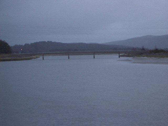
River Crake

The River Crake is a short river in the English Lake District. The name probably derives from the Celtic languages (most likely Brythonic languages; ie...

River Leven, Cumbria

The River Leven (pron. LEV-ən) is a short river in the ceremonial county of Cumbria, falling within the historic boundaries of Lancashire. It drains Windermere...

Arrad Foot

Arrad Foot is a hamlet in South Lakeland, Cumbria, England. The hamlet is situated on a minor road just off the A590 road, with the village of Greenodd...

Nearby Amenities

Located within 500m of 54.219753,-3.0273459
Source: PGS
Lat/Long: 54.2237613/-3.0271231
Source: PGS
Lat/Long: 54.2233586/-3.027369
Source: PGS
Lat/Long: 54.2231063/-3.0280344
Source: PGS
Lat/Long: 54.2226539/-3.0281031
Source: PGS
Lat/Long: 54.2207966/-3.0275007
Source: PGS
Lat/Long: 54.2199252/-3.0277491
Source: PGS
Lat/Long: 54.2194924/-3.0275989
Source: PGS
Lat/Long: 54.2192352/-3.0275667
Source: PGS
Lat/Long: 54.2190596/-3.0273628
Source: PGS
Lat/Long: 54.2188777/-3.0272019
Source: PGS
Lat/Long: 54.218771/-3.0269981
Source: PGS
Lat/Long: 54.2185515/-3.0268049
Source: PGS
Lat/Long: 54.2183883/-3.0266118
Source: PGS
Lat/Long: 54.2183821/-3.0263972
Source: PGS
Lat/Long: 54.2184851/-3.0262288
Source: PGS
Lat/Long: 54.2184028/-3.0257842
Source: PGS
Lat/Long: 54.2183037/-3.0254396
Source: PGS
Lat/Long: 54.2182537/-3.0251536
Source: PGS
Lat/Long: 54.2182379/-3.0248831
Source: PGS
Lat/Long: 54.2181722/-3.024621
Source: PGS
Lat/Long: 54.2175919/-3.0239244
Source: PGS
Lat/Long: 54.2173058/-3.0235651
Source: PGS
Lat/Long: 54.2170647/-3.0234575
The data included in this document is from www.openstreetmap.org. The data is made available under ODbL.

Have you been to Skelwith Hill?

Leave your review of Skelwith Hill below (or comments, questions and feedback).