Benty Roads
Hill, Mountain in Angus
Scotland
Benty Roads

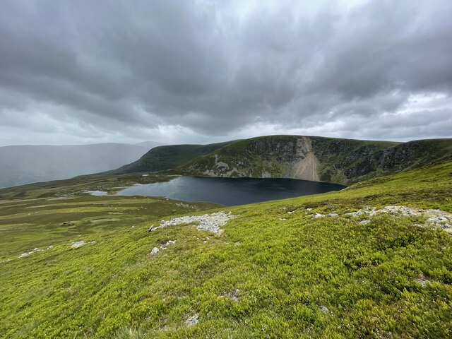
Benty Roads is a prominent hill located in the county of Angus, Scotland. Situated in the eastern part of the country, this hill is part of the Sidlaw Hills range, which stretches across the region. Benty Roads stands at an elevation of approximately 468 meters (1,535 feet) above sea level, making it a notable peak in the area.
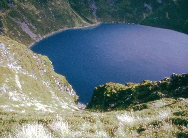
The hill takes its name from the nearby Benty Water, a small stream that flows through the surrounding countryside. Benty Roads is a popular destination for outdoor enthusiasts, offering stunning panoramic views of the surrounding landscape from its summit. On clear days, visitors can enjoy breathtaking vistas that stretch as far as the North Sea to the east and the Grampian Mountains to the north.
The ascent to Benty Roads can be undertaken from several directions, with various walking trails and footpaths crisscrossing the hill. Many hikers choose to start their journey from the nearby village of Monikie, which is located just south of the hill. The climb to the top is relatively moderate, making it accessible to a wide range of fitness levels.
Due to its close proximity to urban areas, Benty Roads is a popular destination for locals and tourists alike, providing a refreshing escape from the hustle and bustle of everyday life. The hill offers a peaceful and serene environment, where visitors can immerse themselves in nature and enjoy the tranquility of the Scottish countryside.
If you have any feedback on the listing, please let us know in the comments section below.
Benty Roads Images
Images are sourced within 2km of 56.875914/-3.1000263 or Grid Reference NO3376. Thanks to Geograph Open Source API. All images are credited.


Benty Roads is located at Grid Ref: NO3376 (Lat: 56.875914, Lng: -3.1000263)
Unitary Authority: Angus
Police Authority: Tayside
What 3 Words
///mixing.opera.existence. Near Ballater, Aberdeenshire
Nearby Locations
Related Wikis

Clova, Angus
Clova is a village in Glen Clova, Angus, Scotland. It lies on the River South Esk, some 12 miles (19 km) north of Kirriemuir. During the 1745 Jacobite...

Ben Tirran
Ben Tirran (896 m) is a mountain in the Grampian Mountains of Scotland. It lies in the vast Mounth area of the eastern Highlands in Angus, on the northern...

Falls of Damff
Falls of Damff is a waterfall in Cairngorms National Park in Scotland. == See also == Waterfalls of Scotland == References ==

Falls of Unich
Falls of Unich is a waterfall of Scotland. == See also == Waterfalls of Scotland == References == Media related to Falls of Unich at Wikimedia Commons

Driesh
Driesh (Gaelic: Dris) is a mountain located in the Grampians of Scotland. Apart from Mount Keen (939 m/3,080 ft), it is the most easterly of the Munro...

Glen Doll
Glen Doll, also sometimes spelt Glendoll, lies within the Cairngorms National Park, Scotland, at the top of Glen Clova, in an area of steep hills, corries...
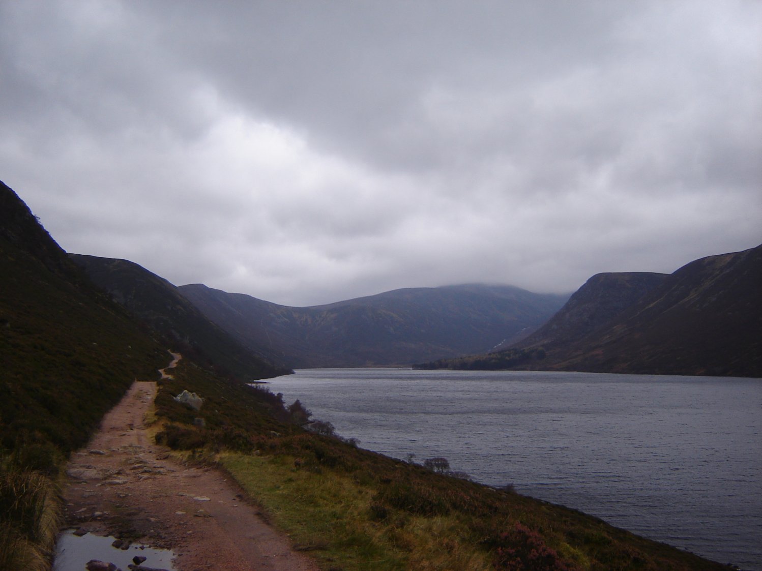
Loch Muick
Loch Muick (; Gaelic: Uisge Muice (pronounced [ɯʃkʲəˈmɯçkʲə])) is an upland, freshwater loch lying approximately 5 mi (8.0 km) south of Braemar, Scotland...
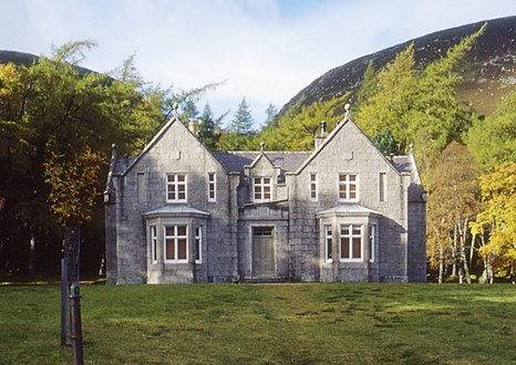
Glas-allt-Shiel
Glas-allt-Shiel is a lodge on the Balmoral Estate by the shore of Loch Muick in Aberdeenshire, Scotland. In its present form it was built in 1868 by Queen...
Nearby Amenities
Located within 500m of 56.875914,-3.1000263Have you been to Benty Roads?
Leave your review of Benty Roads below (or comments, questions and feedback).